Maps & PrintsBartele Gallery · Langweer
Home / Antique Maps / Asia / Asia as a Whole

Asia as a Whole · 18th century

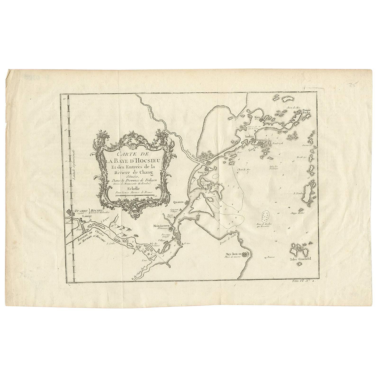
Antique Map of the Mouth of the Yangtze River 'China' by J.N. Bellin, 1764

€ 227

One of a kind: this is the sheet in the photographs. Ships from Langweer, the Netherlands.

Date
1764
Sheet size
25.5 × 39.3 cm (10.0 × 15.5 in)
Condition
Good
Reference
BG-03547

Condition

Please study image carefully.

About this sheet

This detailed regional map of China is a historical cartographic work from the mid-18th century and is attributed to Antoine-François Prévost, a prominent French cartographer and geographer. It is part of Prévost's monumental 20-volume work titled "L'Histoire Générale des Voyages" (The General History of Voyages). Prévost's collection of voyages and maps played a significant role in documenting and depicting various regions of the world during that era, providing valuable insights into geography, exploration, and global knowledge.

More from Asia as a Whole

Ask about this sheet

Antique Map of the Mouth of the Yangtze River 'China' by J.N. Bellin, 1764
1764 · Ref. BG-03547 · € 227
We reply by email, usually within one working day.