About this sheet
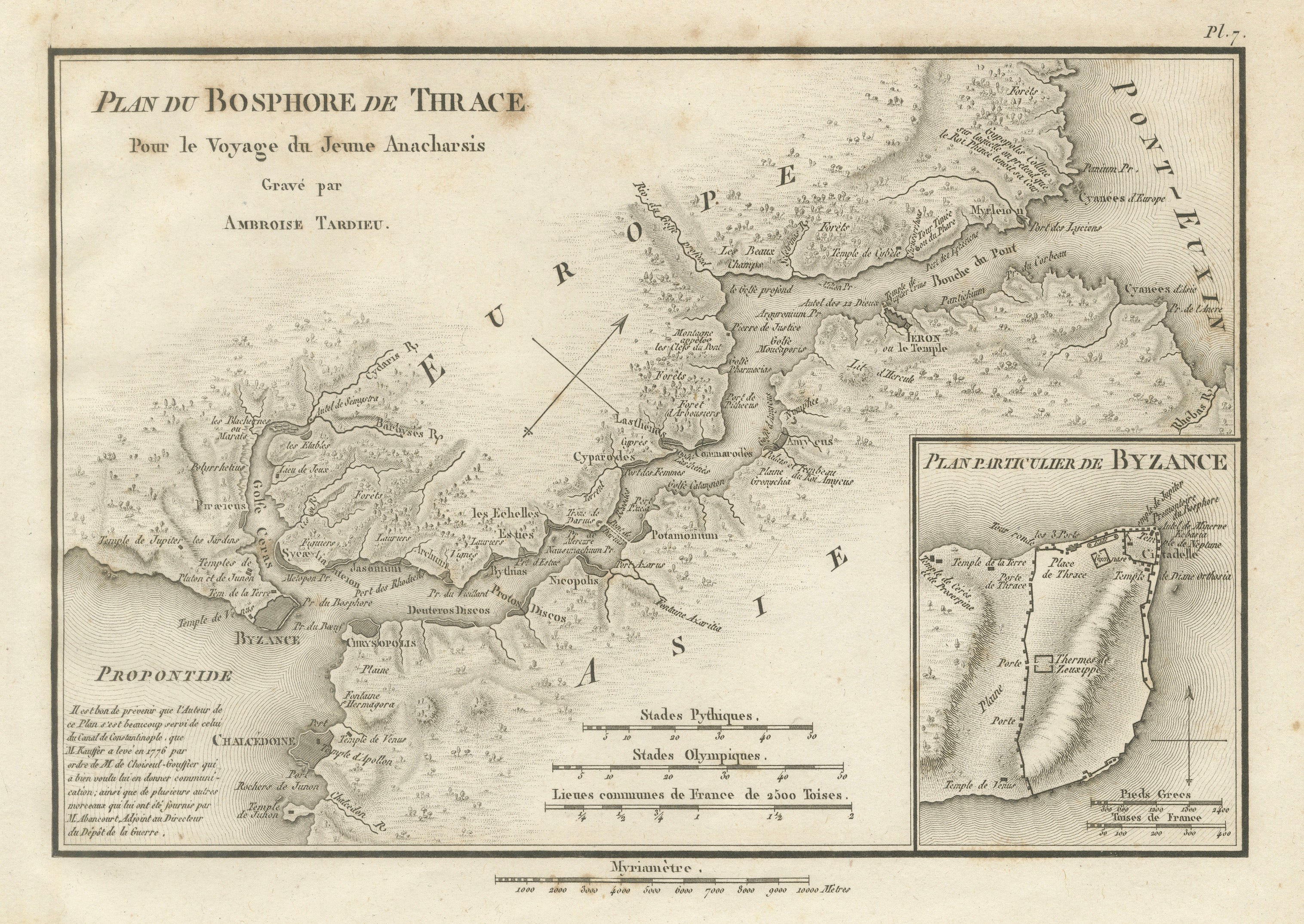
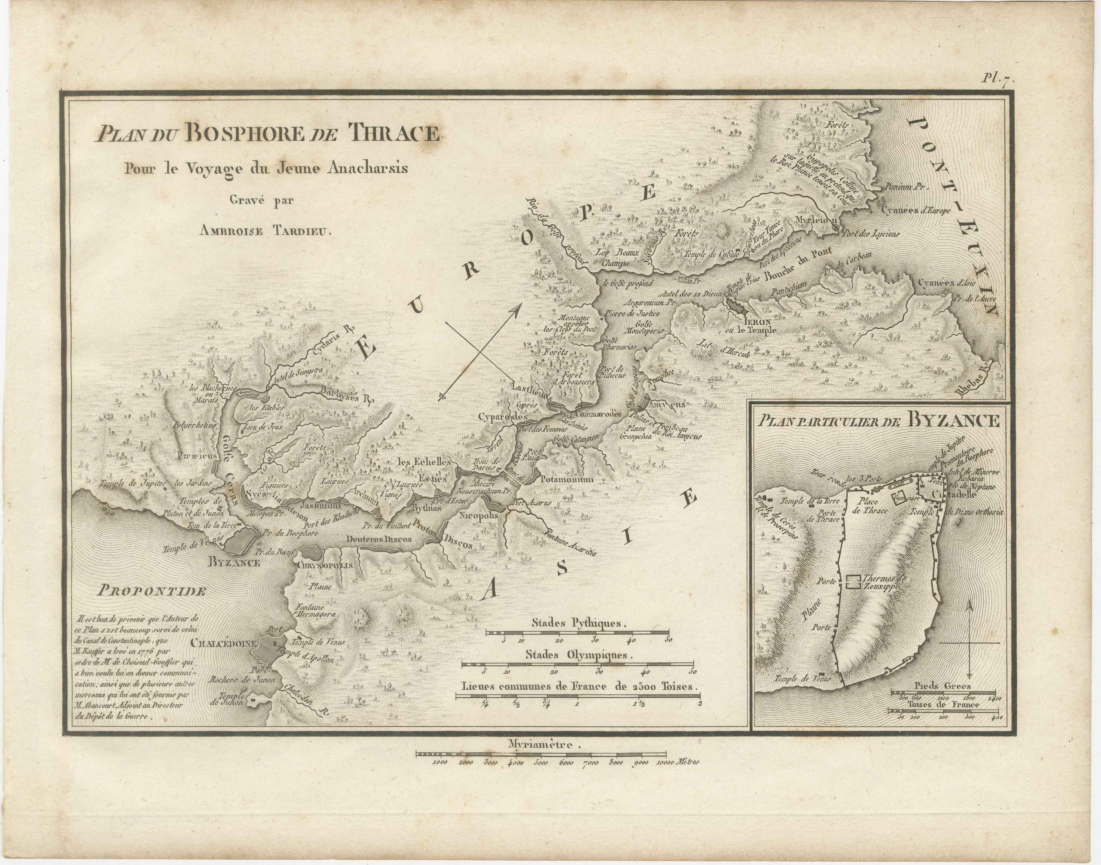
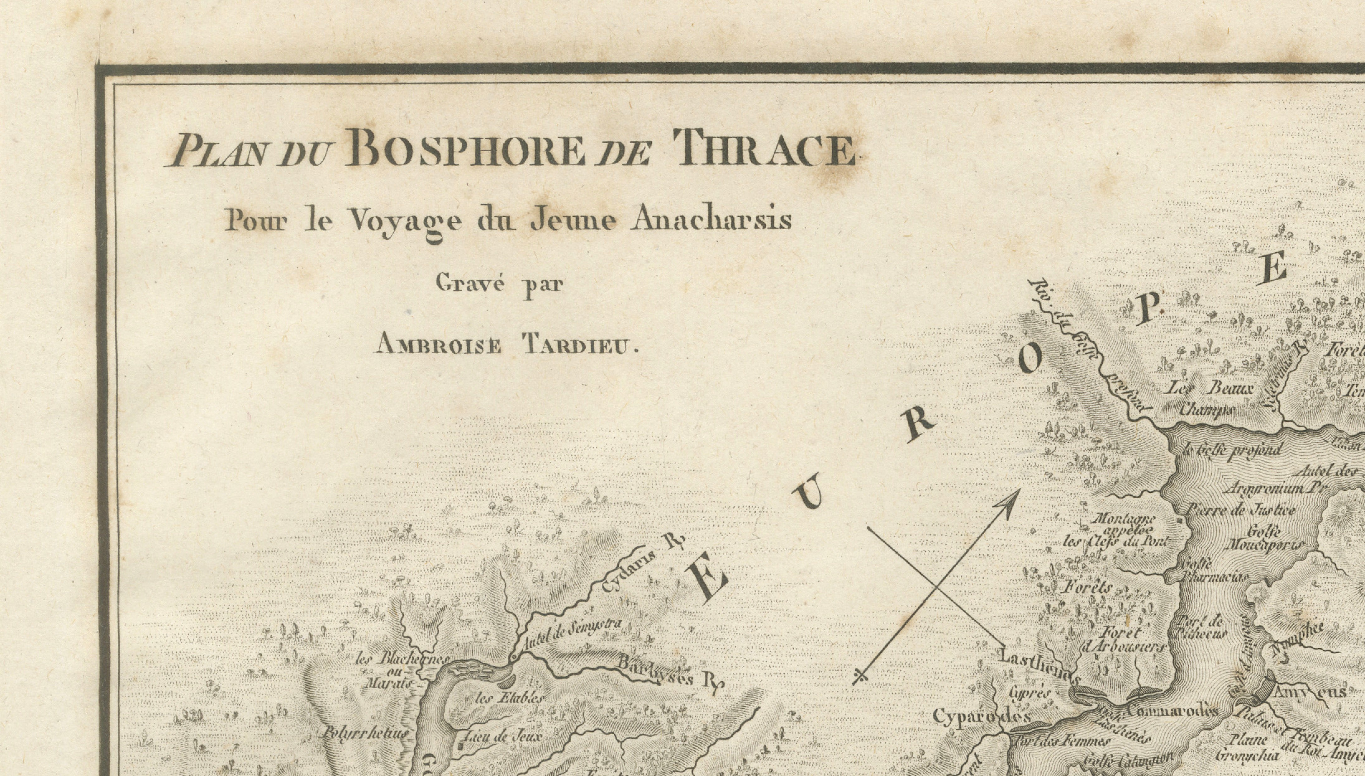
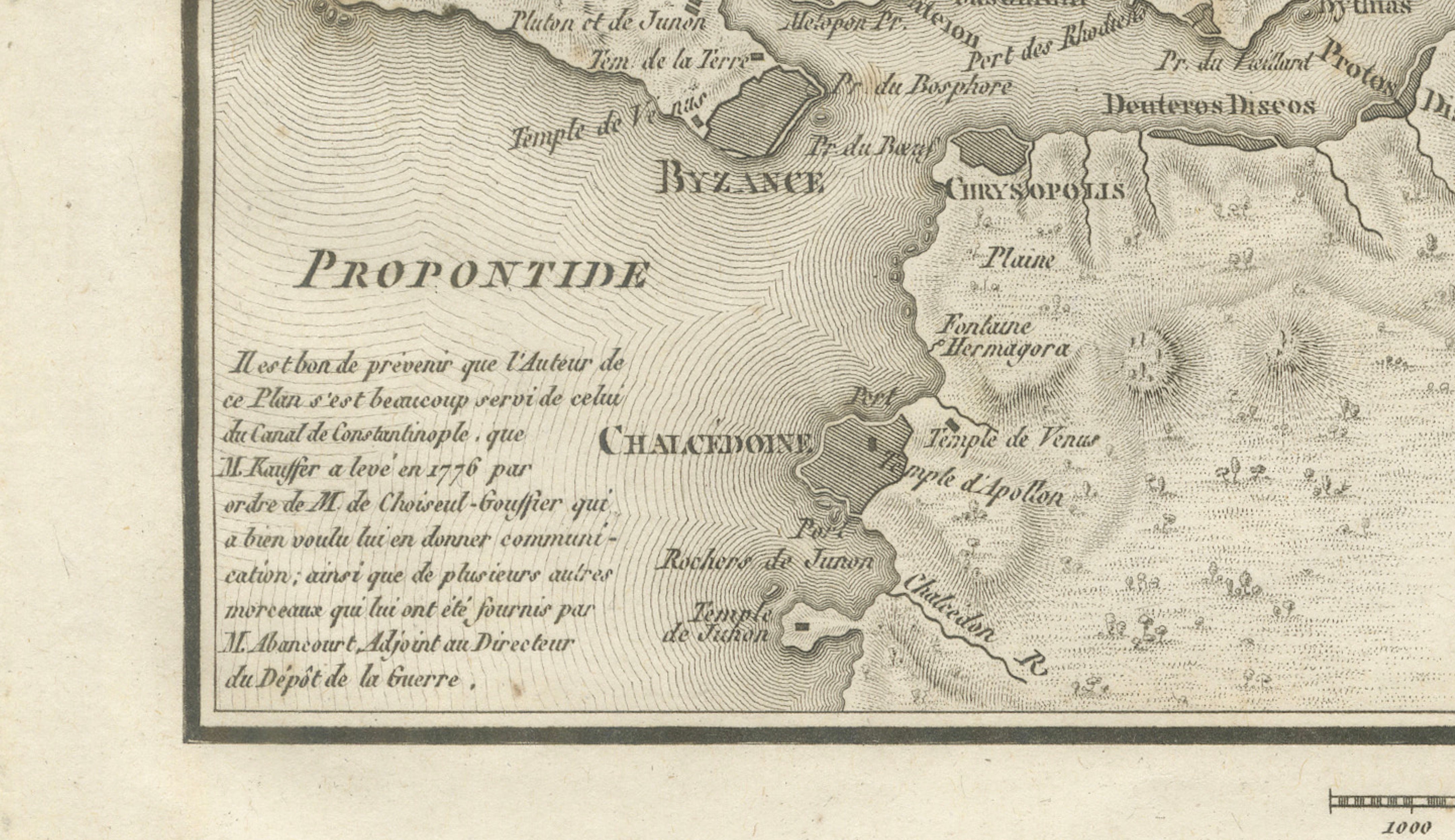
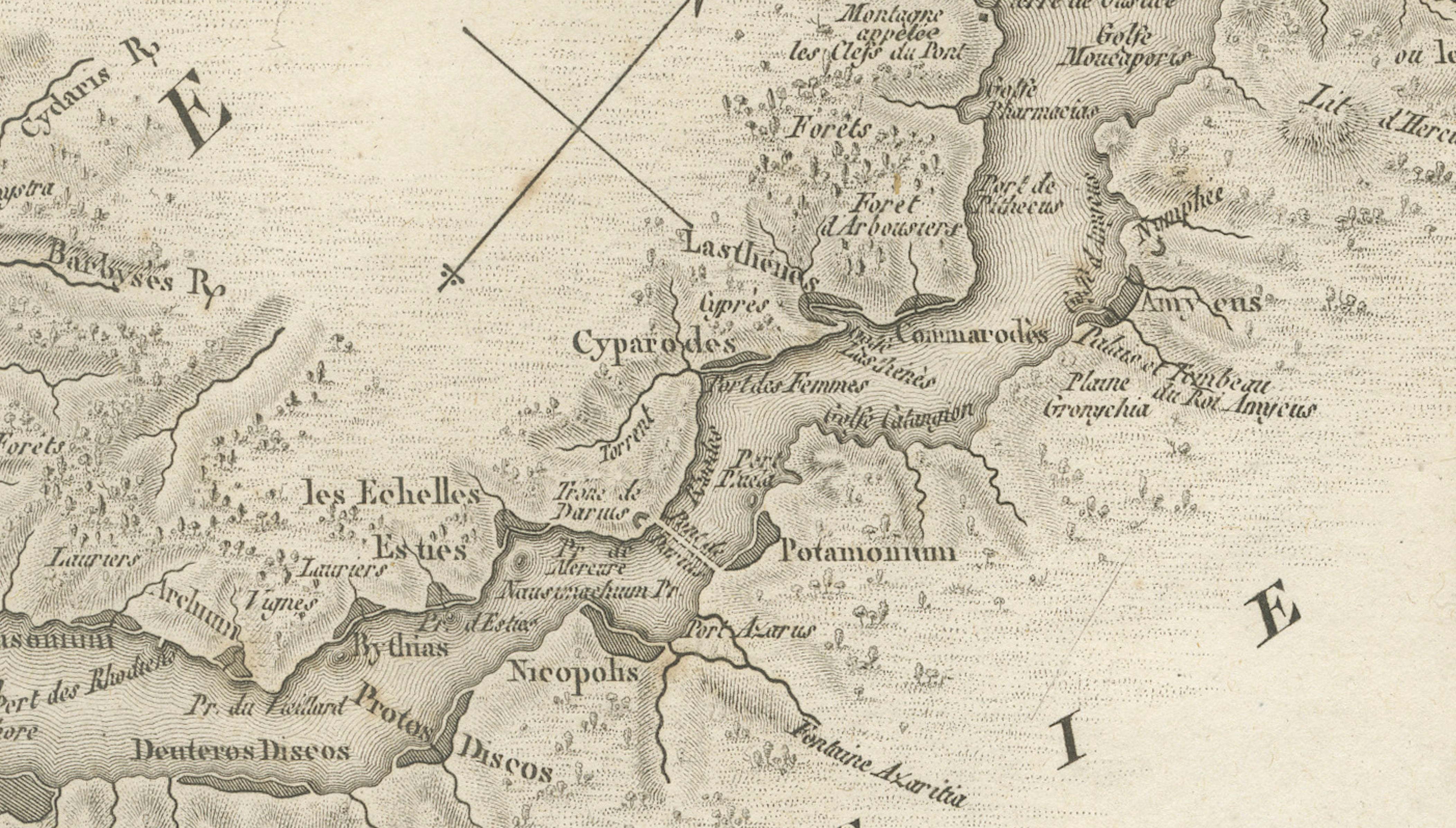
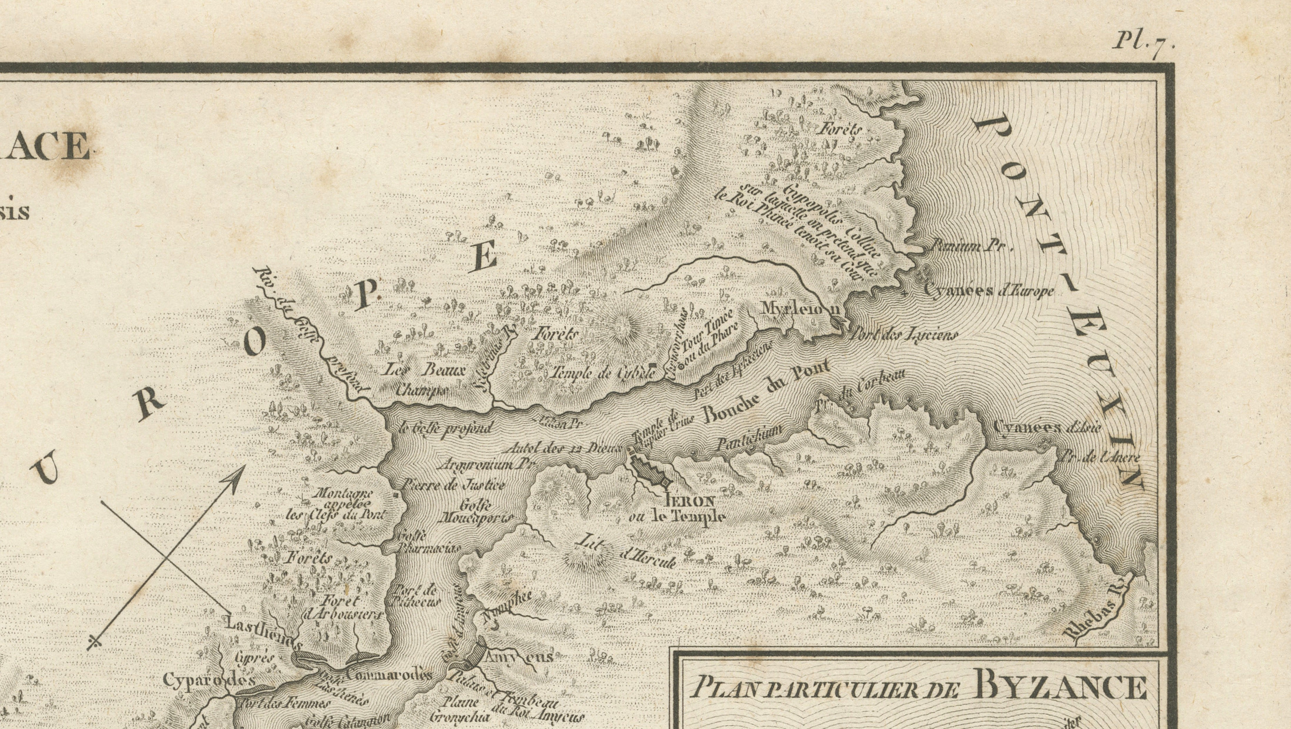
Original antique engraved map of the Bosphorus and ancient Byzantium, titled “Plan du Bosphore de Thrace,” engraved by Ambroise Tardieu for the atlas accompanying Jean-Jacques Barthélemy’s Voyage du jeune Anacharsis en Grèce.
This detailed historical map depicts the Bosphorus, the strategic waterway connecting the Black Sea with the Sea of Marmara, with ancient Byzantium – present-day Istanbul – prominently shown at its southern entrance.
Both the European and Asian shores are rendered in considerable detail, identifying ancient settlements, temples, rivers, forests, harbours and geographical landmarks. Byzantium appears opposite Chalcedon, while the Propontis, or Sea of Marmara, is shown to the south and the Pont-Euxin, or Black Sea, to the north.
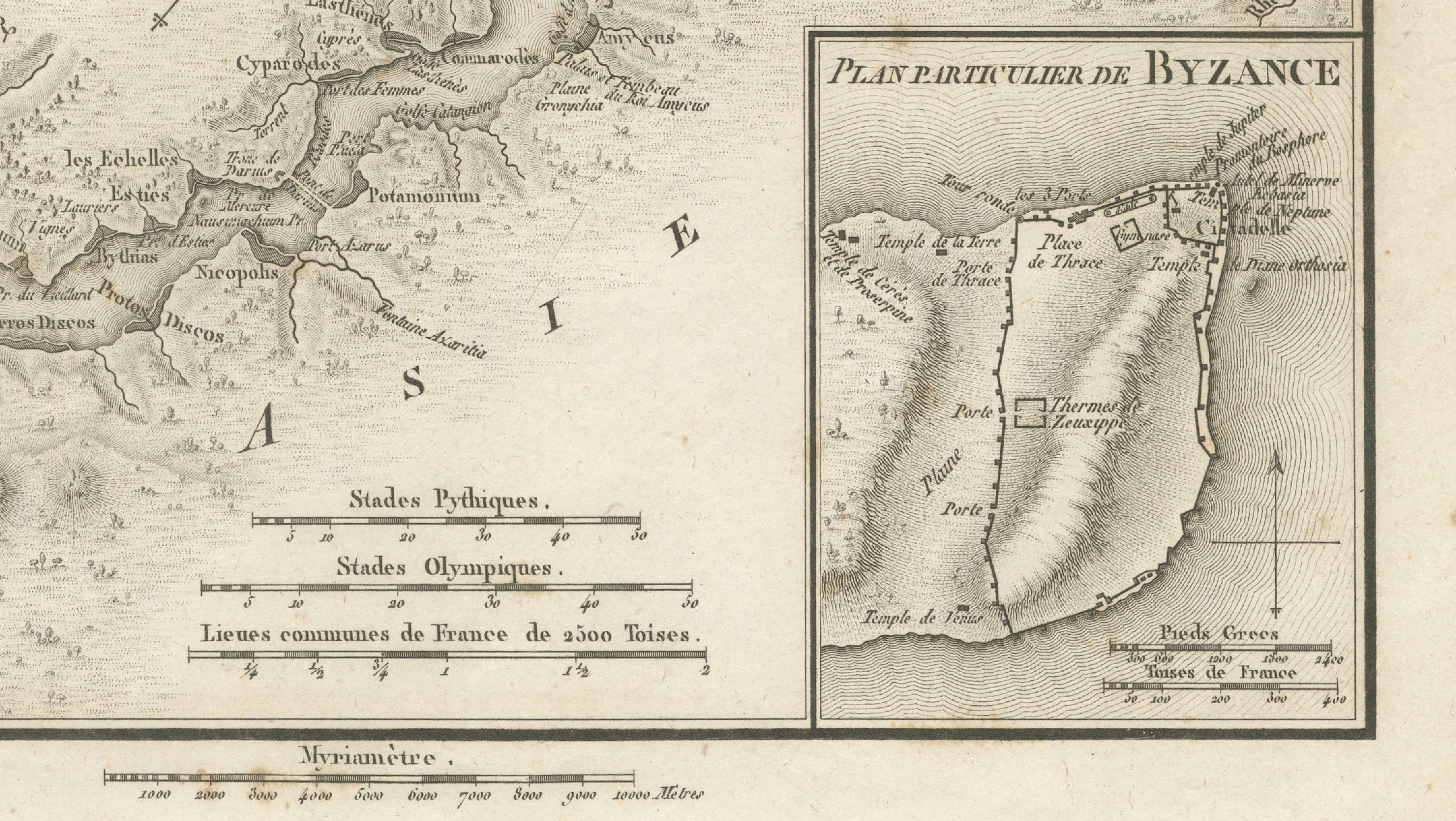
Of particular interest is the inset at lower right titled “Plan Particulier de Byzance,” providing a separate detailed plan of ancient Byzantium. It identifies the fortified city, harbour, temples, public buildings and other features associated with the ancient settlement.
The map is an attractive combination of classical geography and early 19th-century cartography and is particularly appealing for collectors interested in Istanbul, Constantinople, the Bosphorus, ancient Greece and the eastern Mediterranean.
Creator / Engraver: Ambroise Tardieu
Title: Plan du Bosphore de Thrace
Publication: Paris
Date: 1825
Technique: Engraving on paper
Plate: Pl. 7
Subject: Bosphorus, Byzantium, Constantinople / Istanbul, Turkey
Condition:
Good antique condition with general age toning, scattered foxing and occasional small stains and marks, particularly in the margins. Minor wear and irregularities along the sheet edges. The engraved image remains strong, clear and highly detailed. Please study the photographs carefully as they form an important part of the condition description.
Original antique map. Not a modern reproduction.
Sold unframed. Any framed or interior images shown are for presentation and inspiration only.
Keywords: Bosphorus Map, Byzantium Map, Istanbul Map, Constantinople Map, Ancient Istanbul, Bosphore de Thrace, Turkey Map, Ottoman Geography, Black Sea, Sea of Marmara, Propontis, Pont Euxin, Chalcedon, Ancient Greece, Classical Antiquity, Ambroise Tardieu, Antique Map, Historical Cartography, 1825 Map, Ancient World.