Antique Map of Alexander the Great's Empire & Campaigns, de Vaugondy, 1753
€ 636
One of a kind: this is the sheet in the photographs. Ships from Langweer, the Netherlands.
Date
1753
Sheet size
47.8 × 62 cm (18.8 × 24.4 in)
Condition
Good
Reference
BG-14113
Condition
A crisp, dark impression on sturdy, watermarked paper. Light creasing adjacent to the centerfold, otherwise in excellent condition with original outline hand coloring. No significant foxing, tears, or repairs noted.7.
About this sheet
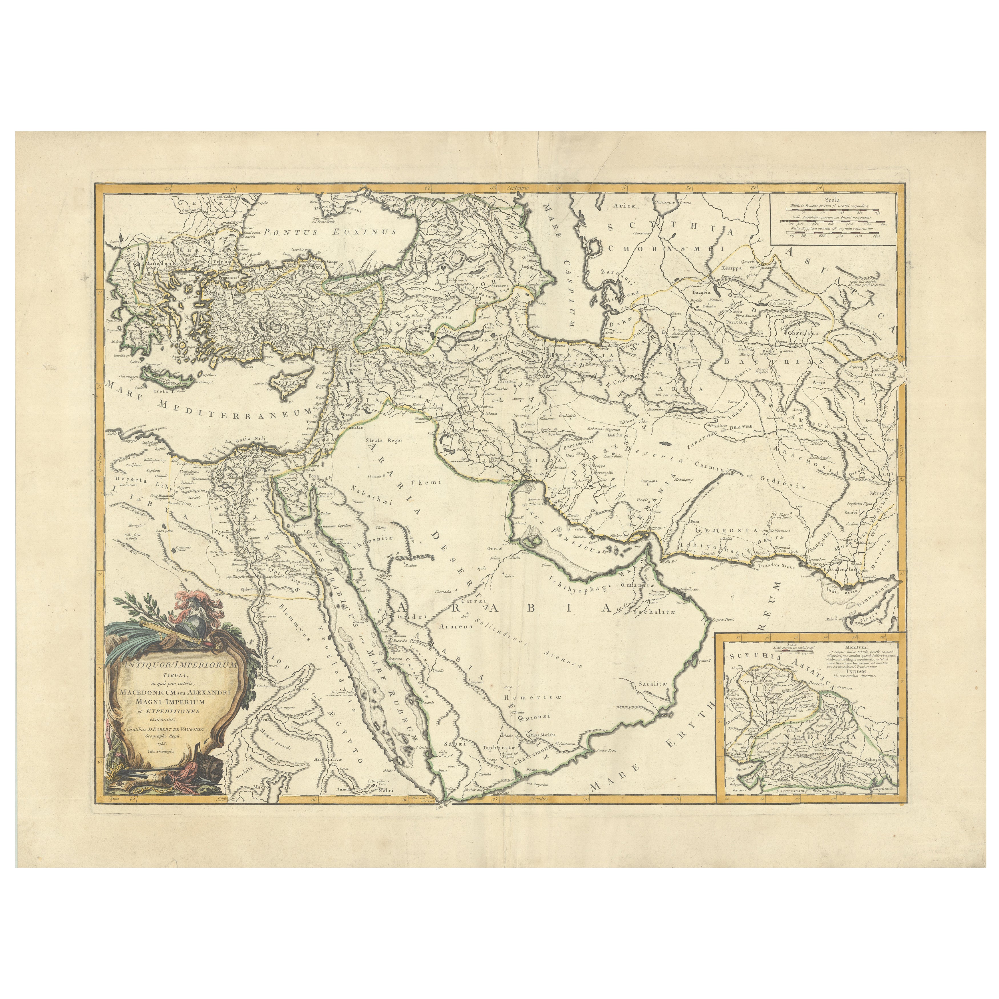
Antique Map of Alexander the Great's Empire & Campaigns, de Vaugondy, 1753
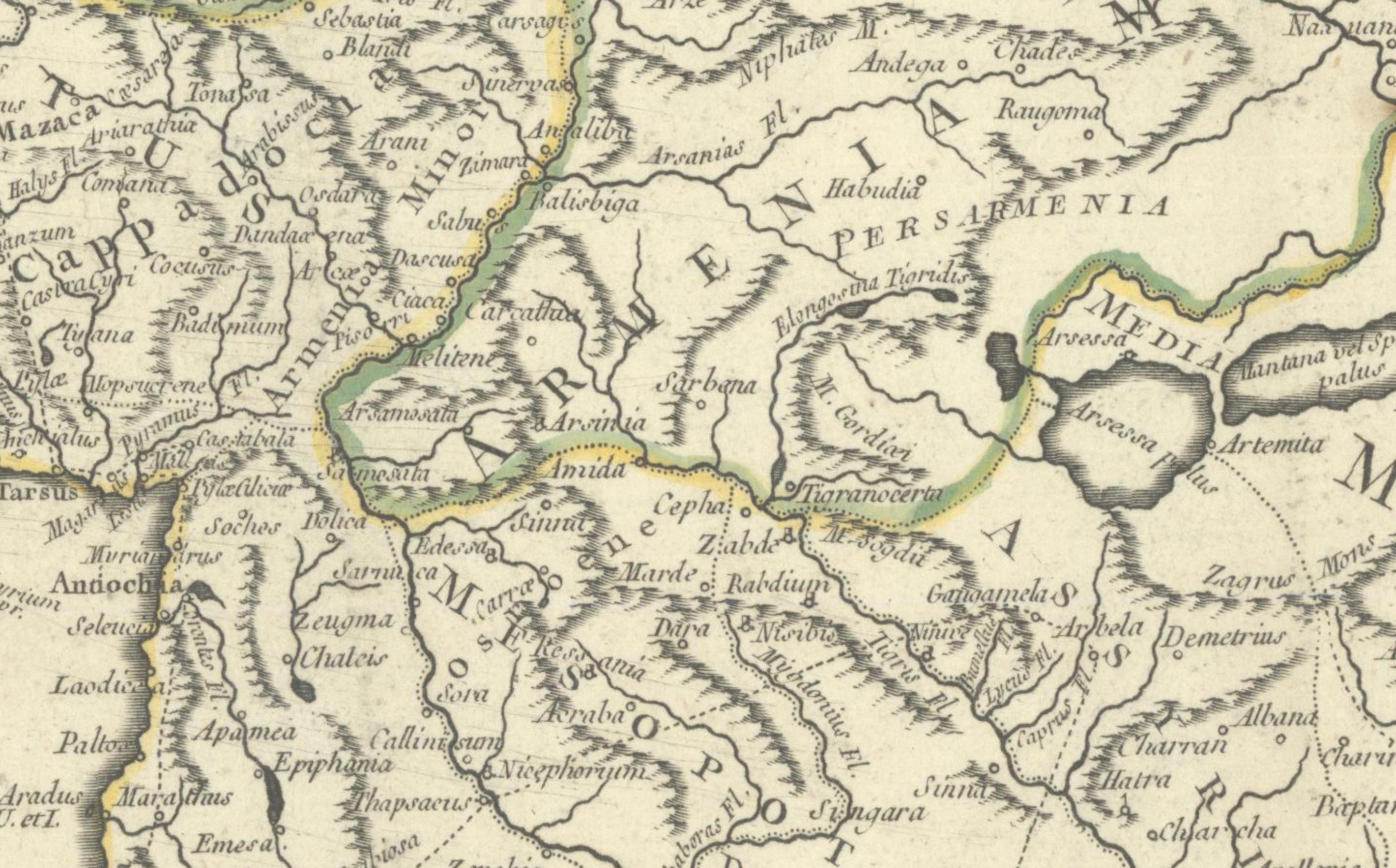
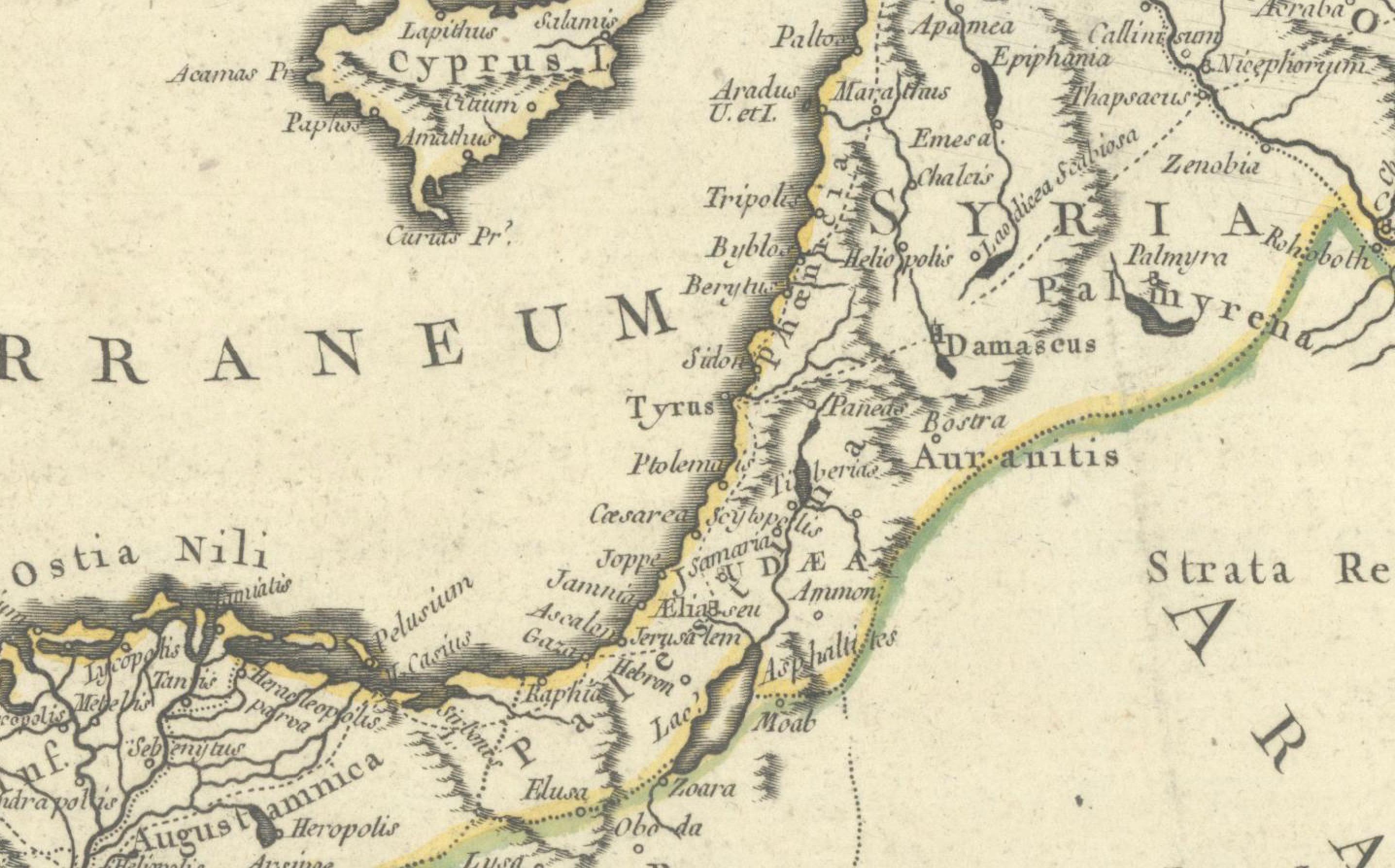
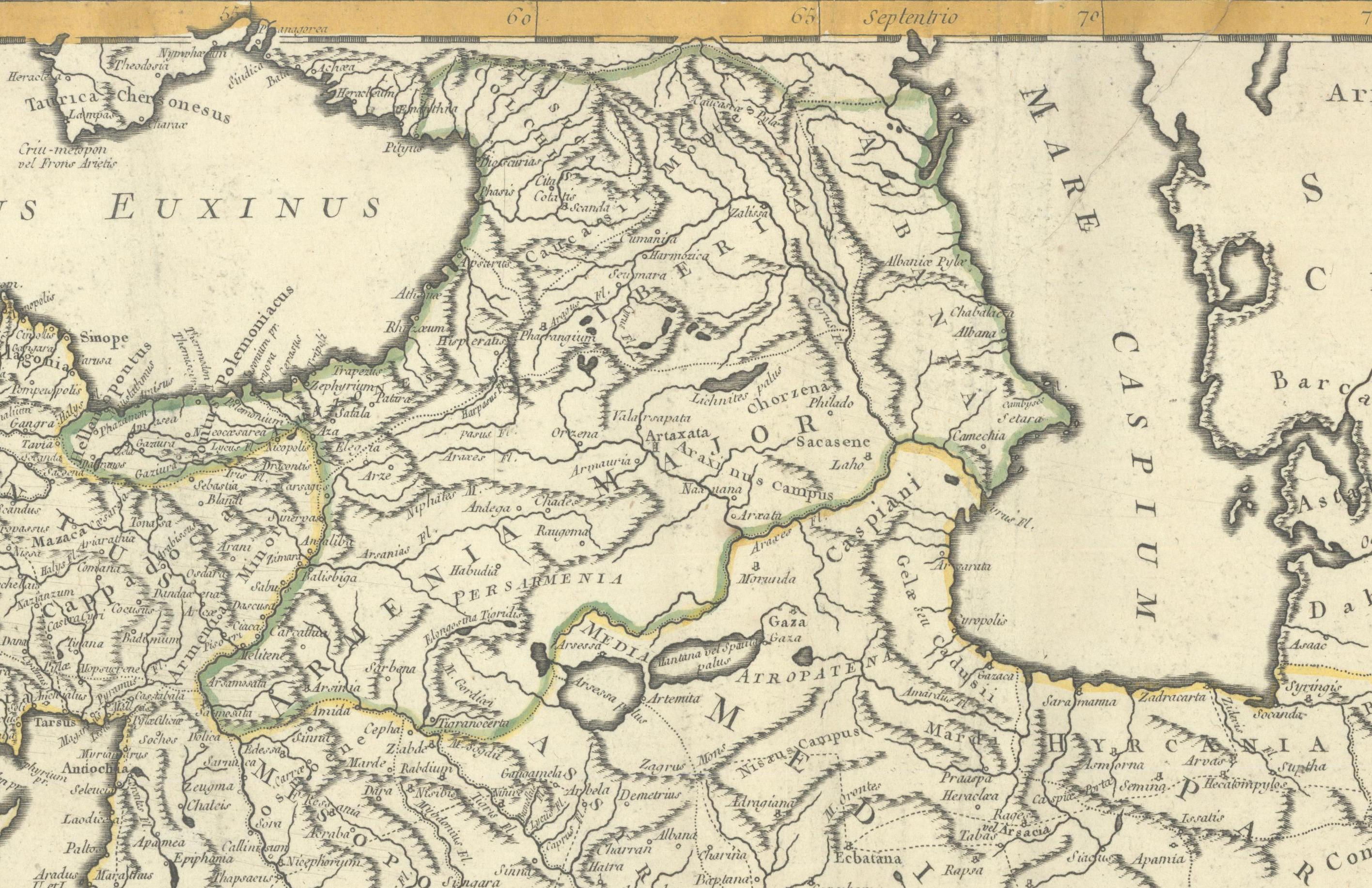
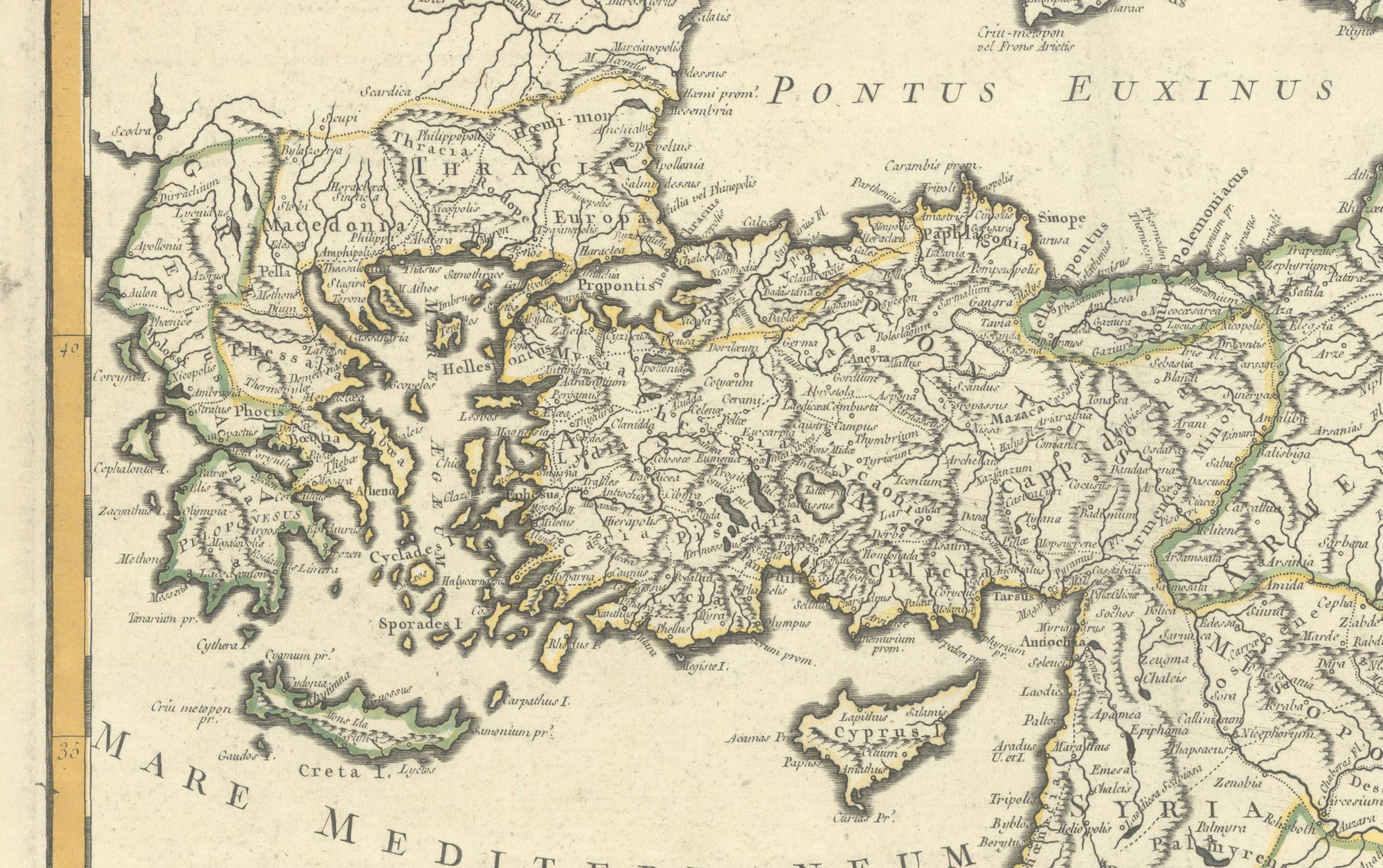
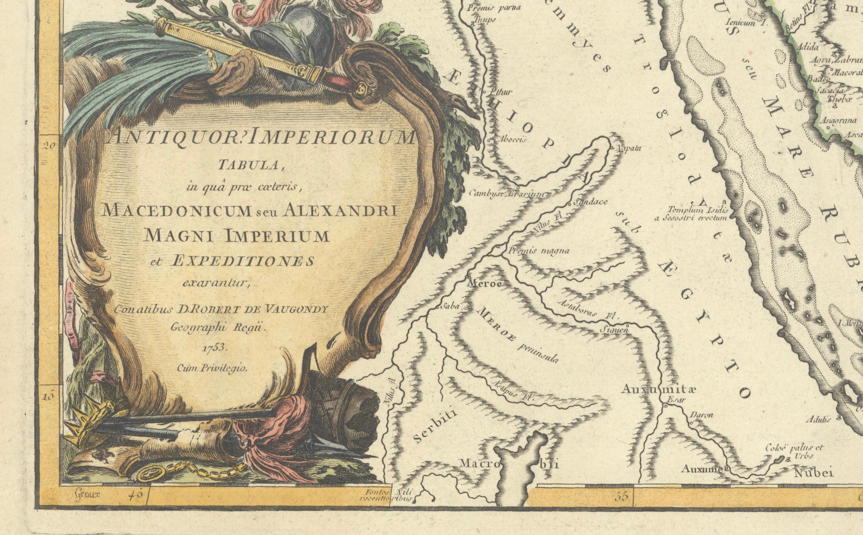
This rare and elegantly engraved map, titled "Antiquor Imperiorum Tabula, in qua Prae Caeteris, Macedonicum seu Alexandri Magni Imperium et Expeditiones Exarantur", was published in 1753 by Didier Robert de Vaugondy, one of the leading cartographers of 18th-century France. It represents the ancient empires of the Eastern Mediterranean and Middle East with a focus on the conquests of Alexander the Great (356–323 B.C.).
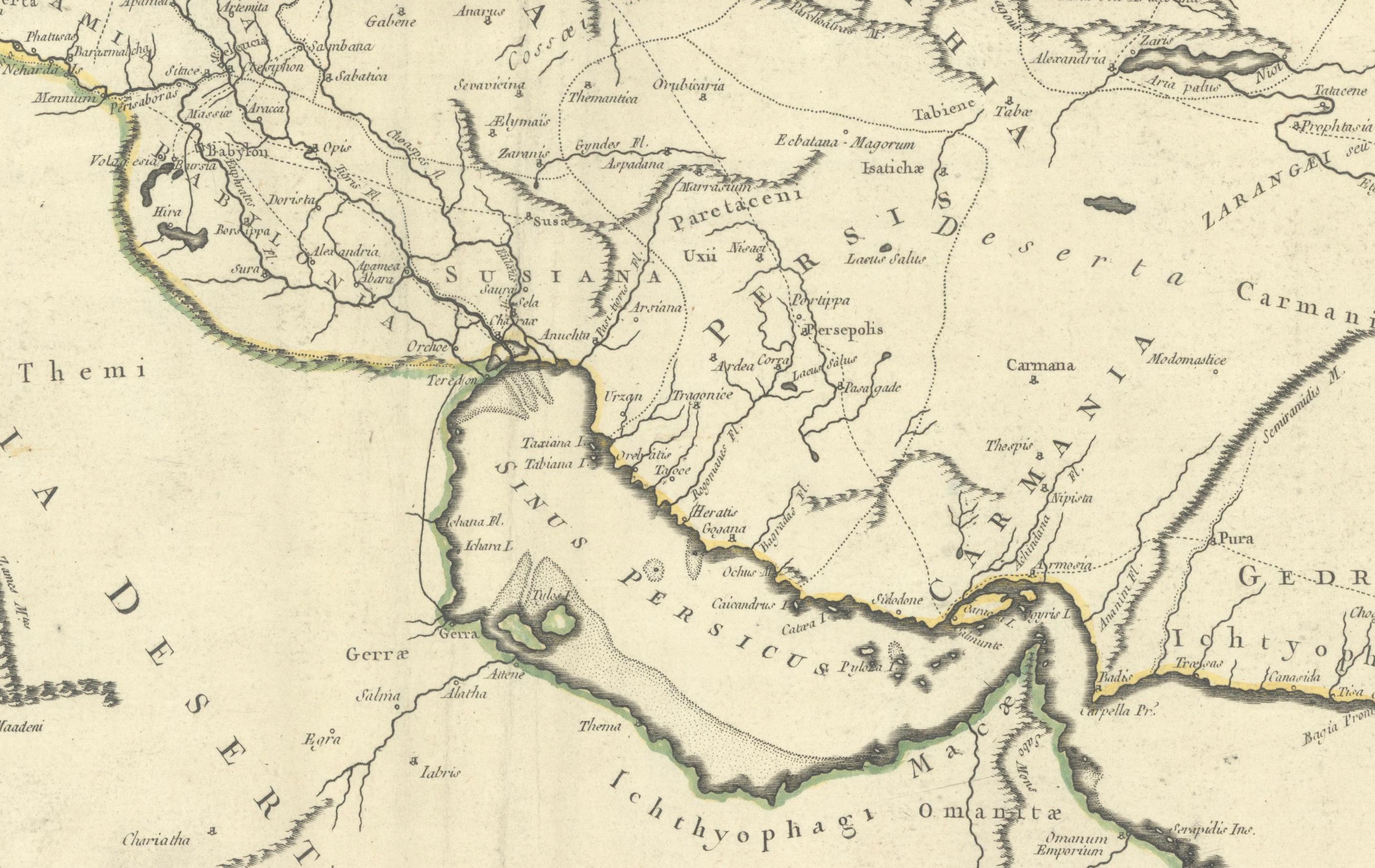
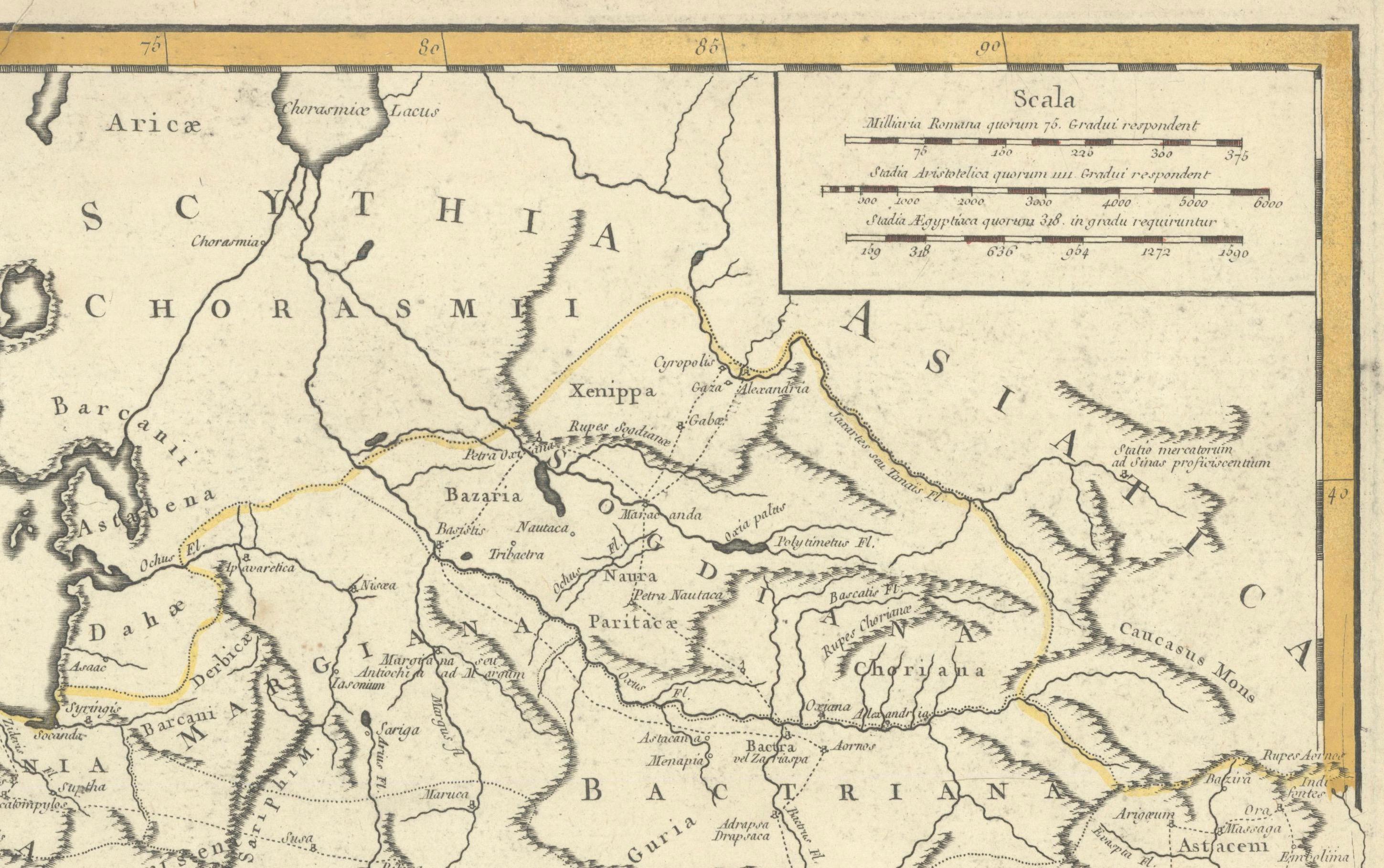
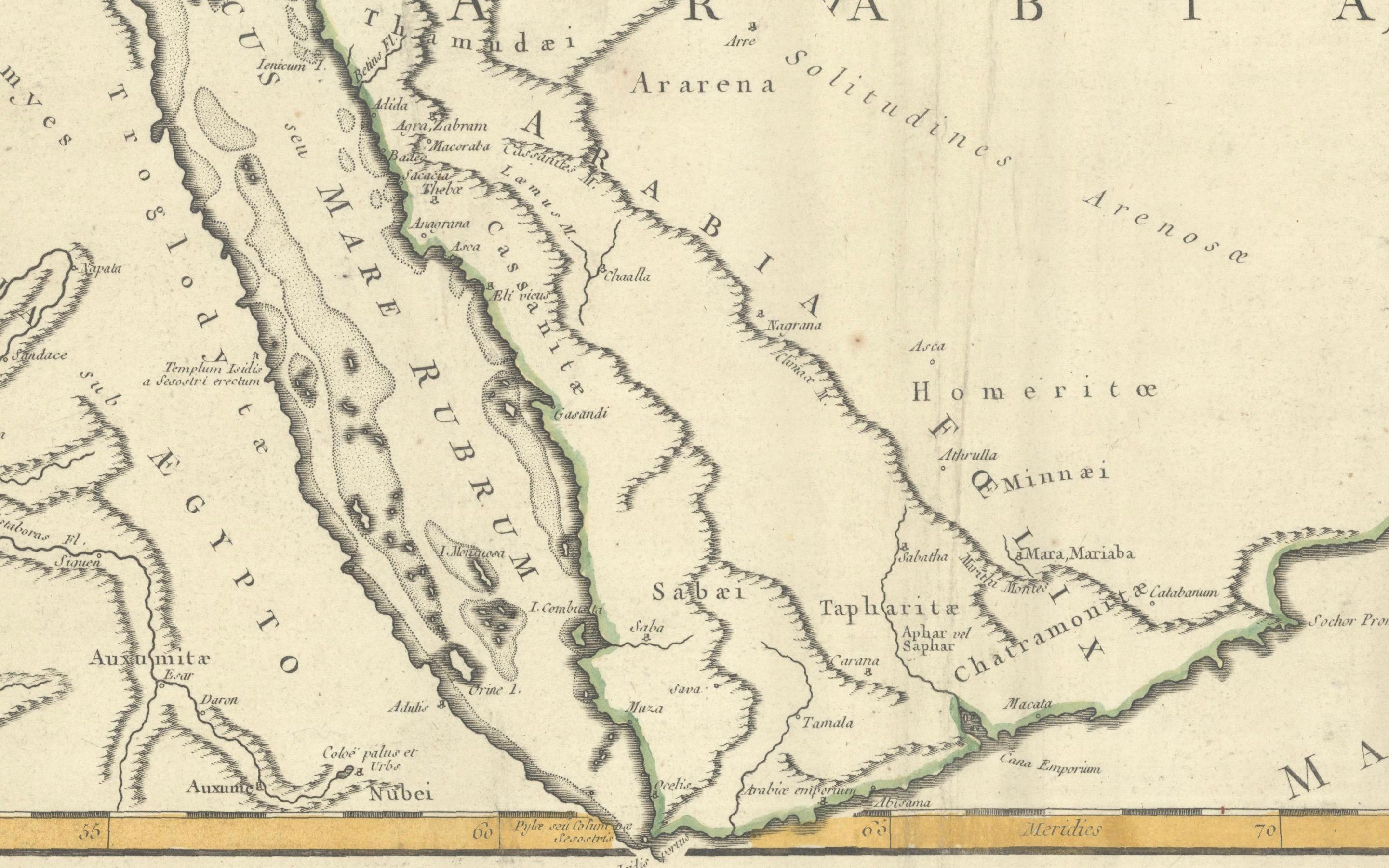
Centered on the Arabian Peninsula, the map spans from the Aegean and eastern Mediterranean in the west to the Indus River in the east, and from the Caspian Sea in the north to the full Red Sea and Upper Nile in the south. This expanse includes ancient territories such as Egypt, Mesopotamia, Persia, Bactria, Scythia, and parts of northern India. The route of Alexander’s expeditions is meticulously traced across the map, marking key military campaigns and strategic conquests that established his legendary empire.
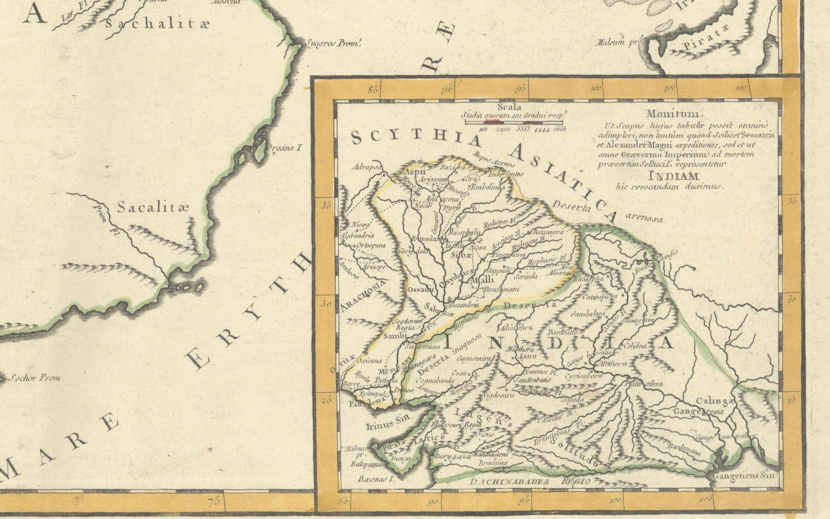
Topographical details such as mountain ranges, rivers, and deserts are finely rendered, while towns and ancient place names are labeled throughout. Of note is the nearly blank interior of Arabia—a nod to the limited geographic knowledge of the time regarding that region. A large inset at lower right focuses on Scythia and northern India, elaborating on Alexander’s eastern campaigns with annotations.
The lower left is adorned with a beautiful title cartouche engraved by Elisabeth Haussard, one of the few known female engravers of the 18th century. It features classical decoration including arms, shields, and draped fabric, reflecting the military achievements of Alexander’s empire.
Originally published in 1757 in the first edition of the *Atlas Universel*, this is the first state of the map as dated 1753 in the plate.
Condition Report: A crisp, dark impression on sturdy, watermarked paper. Light creasing adjacent to the centerfold, otherwise in excellent condition with original outline hand coloring. No significant foxing, tears, or repairs noted.
Framing Tips: This classical map would suit a dark wood frame—walnut or black—with a wide ivory or parchment-toned archival mat to highlight the aged paper. A subtle gold fillet would complement the ornate cartouche and historical content beautifully.
Technique: Engraving with original hand color Maker: Didier Robert de Vaugondy, Paris, dated 1753 (published 1757)