About this sheet
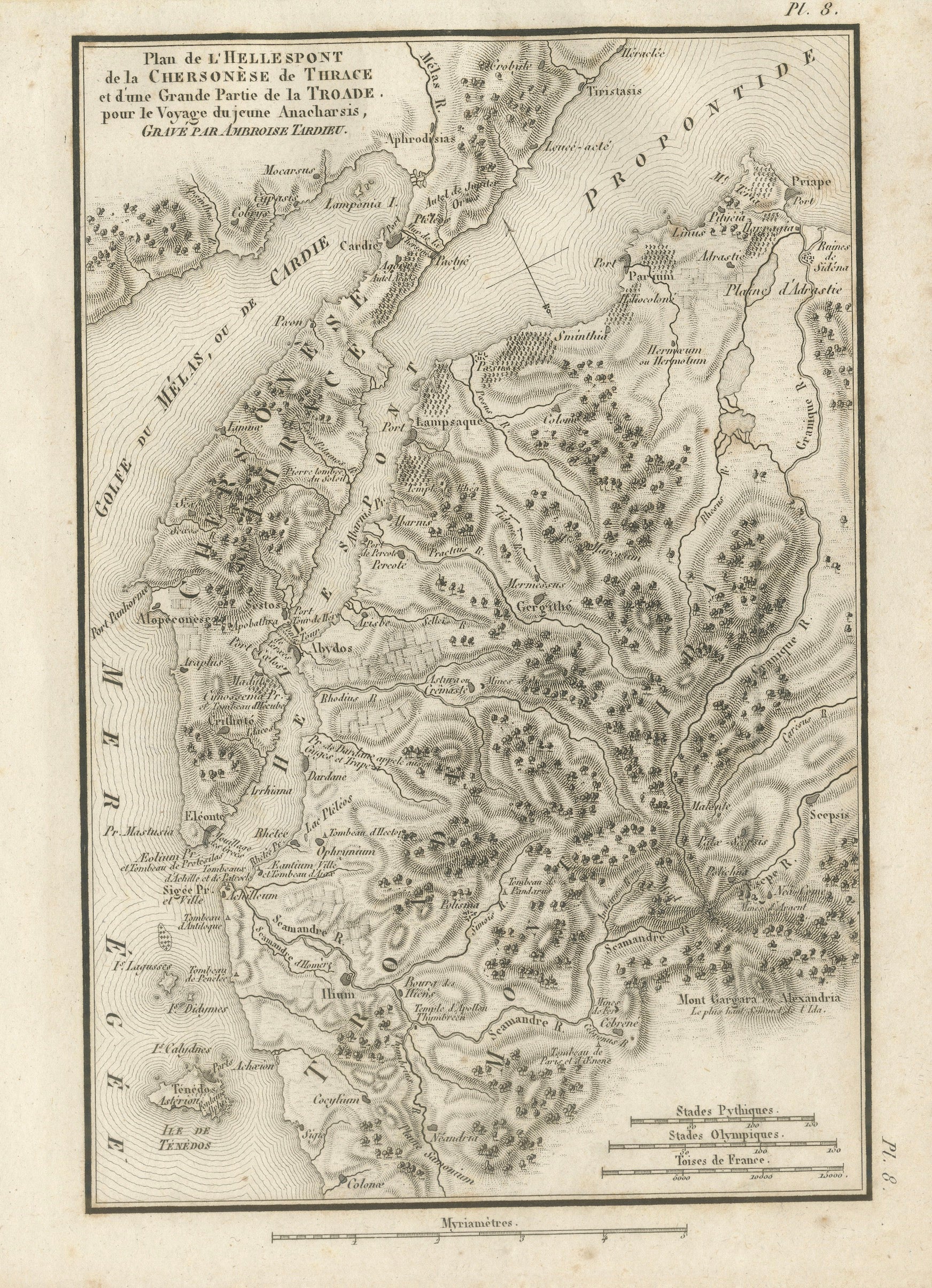
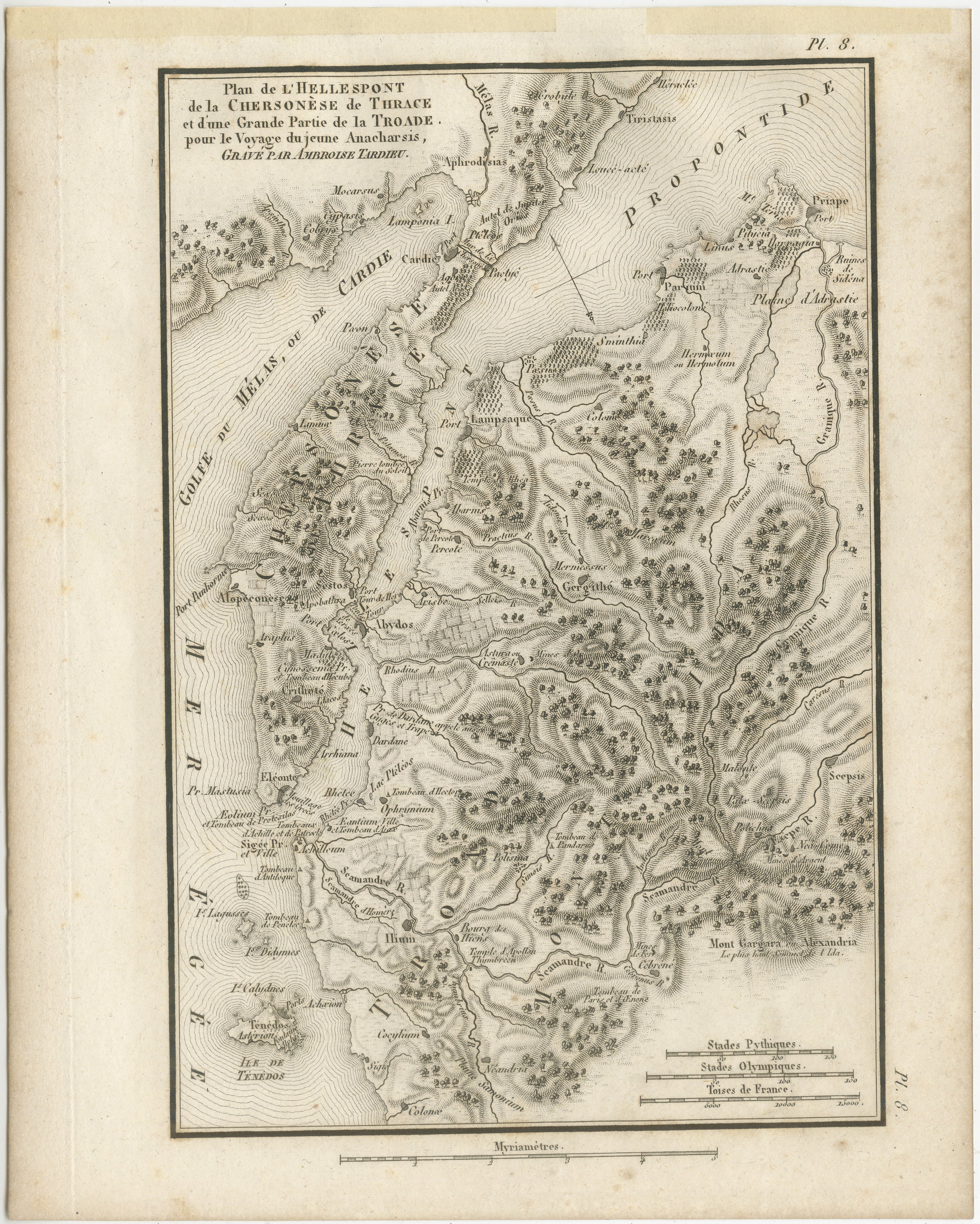
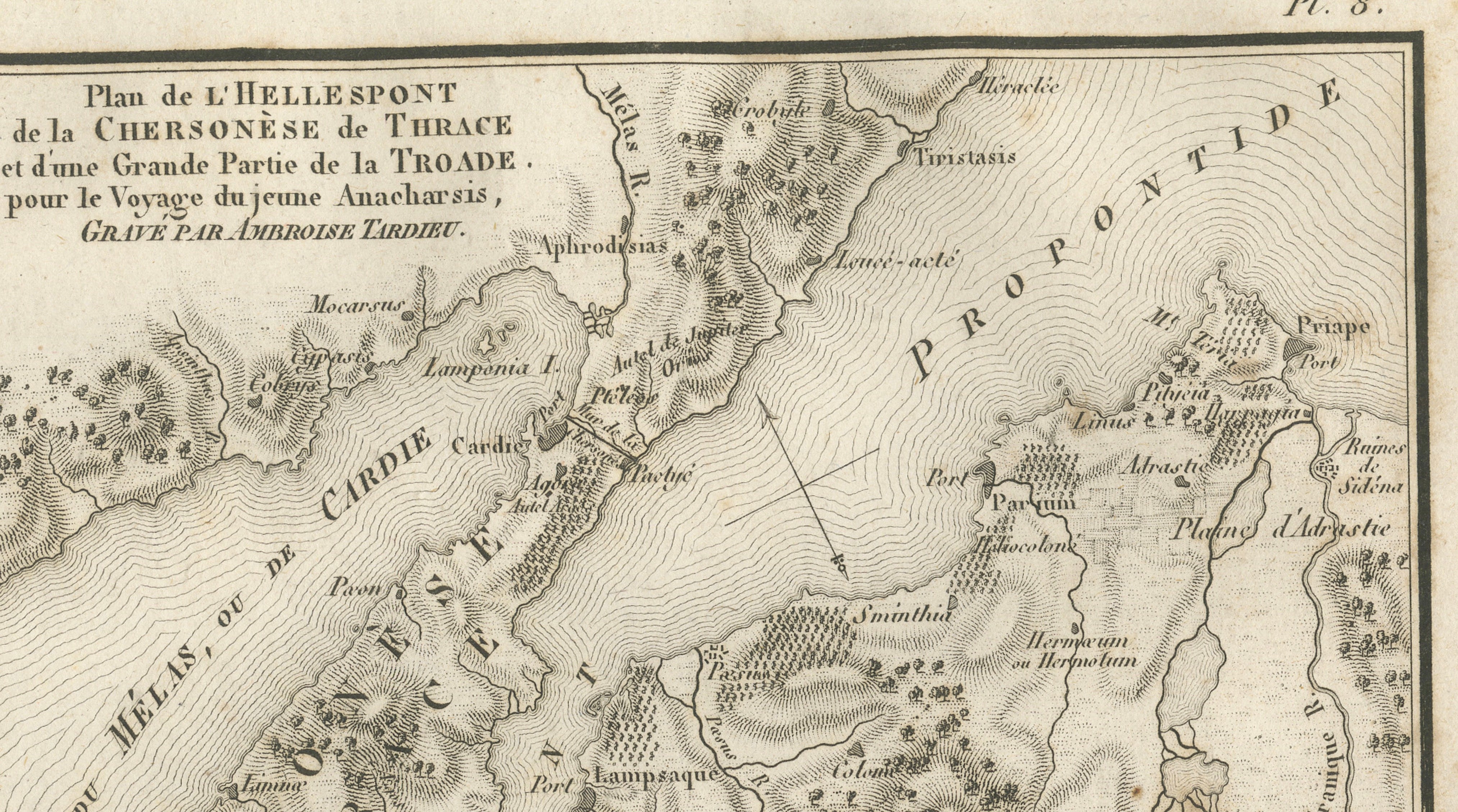
Original antique engraved map of the Hellespont, the Thracian Chersonese and the greater part of the Troad, engraved by Ambroise Tardieu for the atlas accompanying Jean-Jacques Barthélemy’s Voyage du jeune Anacharsis en Grèce.
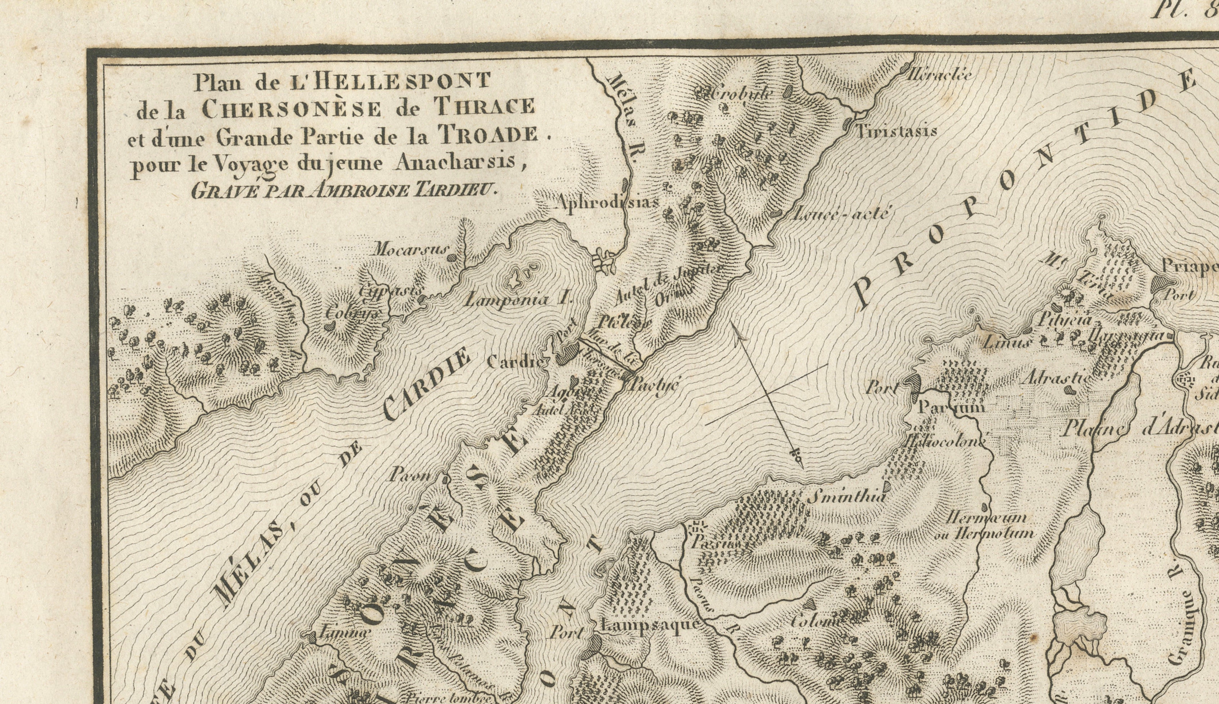
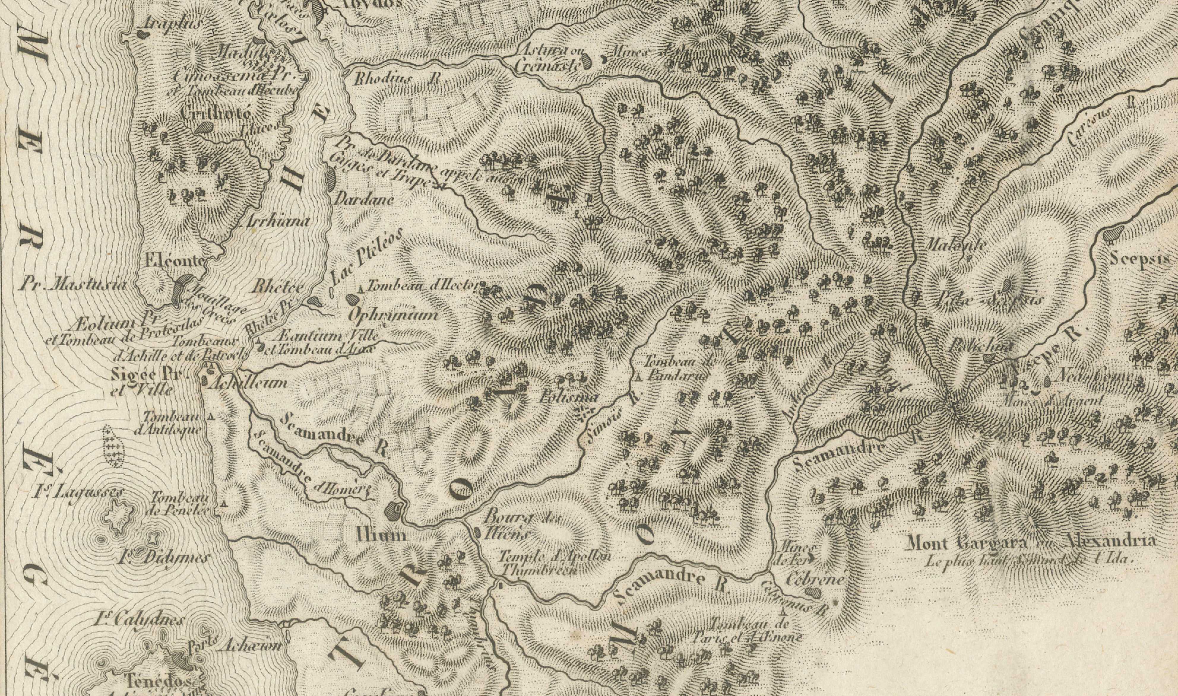
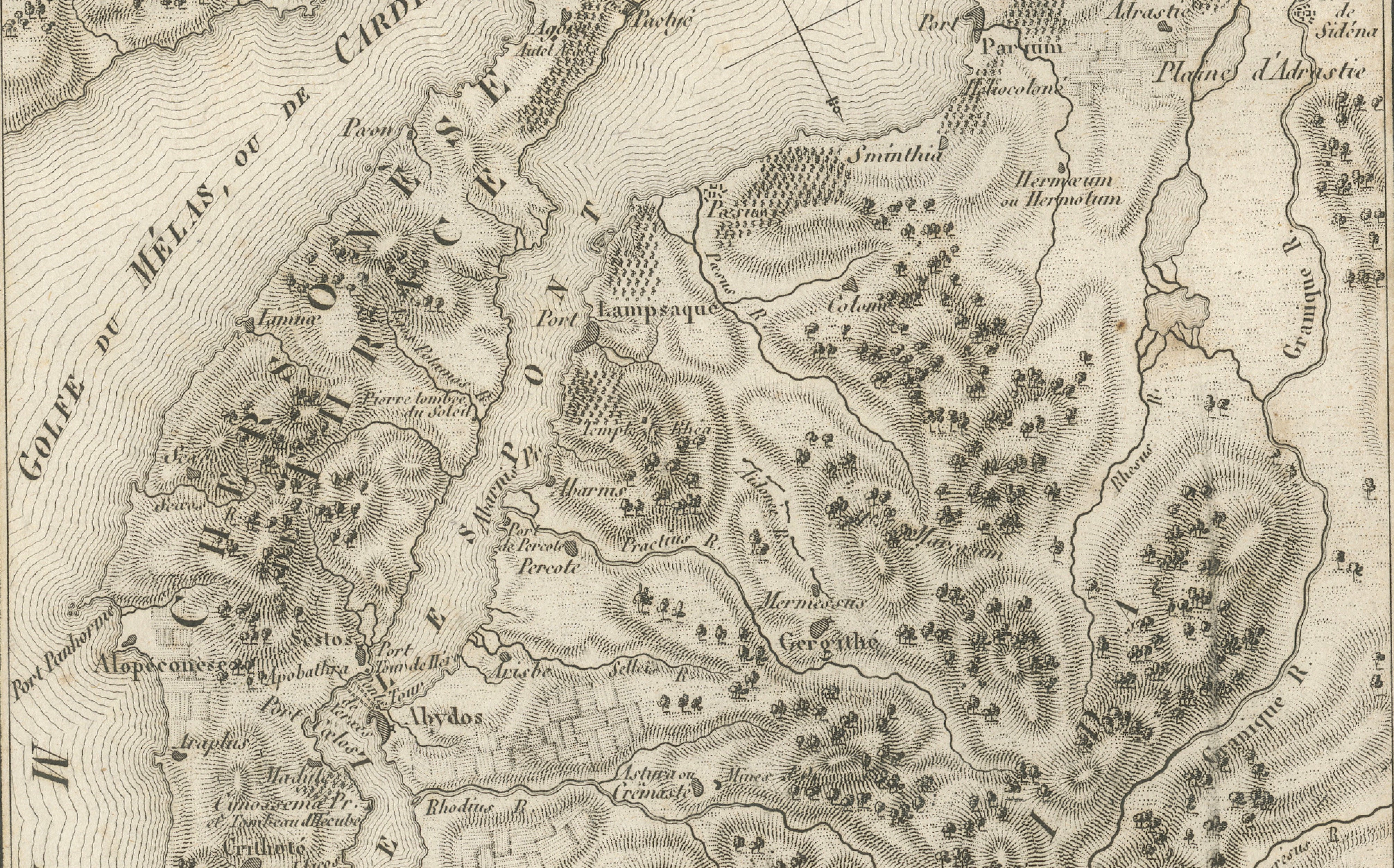
Titled “Plan de l’Hellespont, de la Chersonèse de Thrace et d’une Grande Partie de la Troade,” this highly detailed map depicts the region surrounding the ancient Hellespont, today known as the Dardanelles, extending across the Gallipoli Peninsula and the Troad in northwestern Asia Minor.
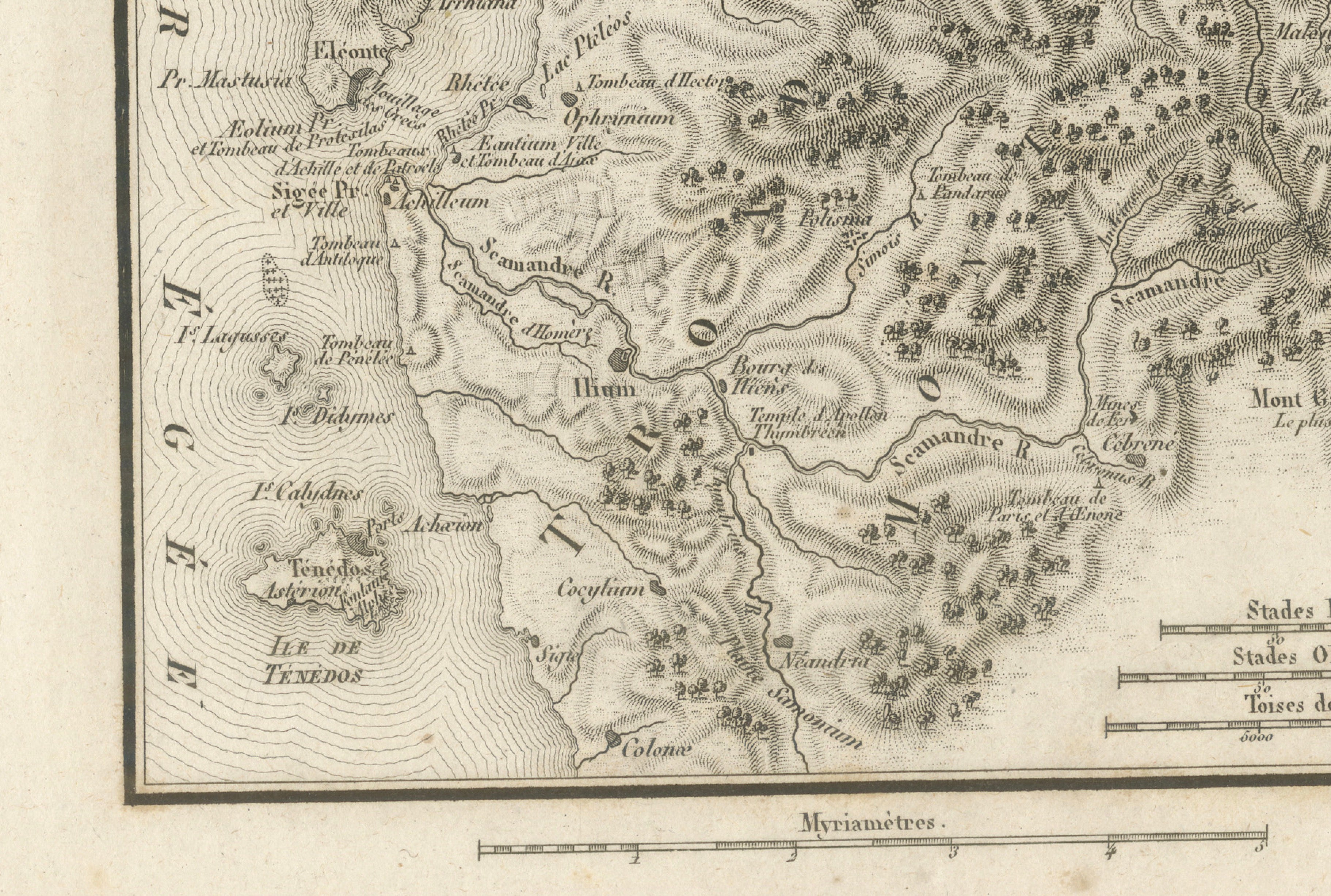
Of particular interest is the area surrounding ancient Troy, or Ilium, shown near the lower part of the map. The engraving identifies numerous locations associated with classical history and Homeric geography, including the Scamander River, Simois, Mount Ida, the Plain of Troy, Abydos, Sestos and the island of Tenedos.
The map also provides a remarkably detailed representation of the region’s mountains, rivers, forests, ancient settlements, temples and coastal features. Fine engraved hachuring and pictorial vegetation give the landscape an especially decorative appearance.
An appealing map for collectors interested in Troy, Homer, the Iliad, the Dardanelles, ancient Greece and classical archaeology.
Creator / Engraver: Ambroise Tardieu
Title: Plan de l’Hellespont, de la Chersonèse de Thrace et d’une Grande Partie de la Troade
Publication: Paris
Date: 1825
Technique: Engraving on paper
Plate: Pl. 8
Subject: Troy, Troad, Hellespont / Dardanelles, Gallipoli and northwestern Turkey
Condition:
Good antique condition with general age toning, scattered foxing and occasional small stains and marks. Some discoloration and old mounting or tape residue visible along the upper margin. Minor wear along the sheet edges. The engraved image itself remains strong, clear and richly detailed. Please study the photographs carefully as they form an important part of the condition description.
Original antique map. Not a modern reproduction.
Sold unframed. Any framed or interior images shown are for presentation and inspiration only.
Keywords: Troy Map, Ancient Troy, Hellespont Map, Dardanelles Map, Troad Map, Troade, Gallipoli, Thracian Chersonese, Ilium, Homer, Iliad, Scamander River, Simois River, Mount Ida, Tenedos, Abydos, Sestos, Ancient Greece, Ancient Turkey, Asia Minor, Ambroise Tardieu, Antique Map, Classical Antiquity, Historical Cartography, 1825 Map.