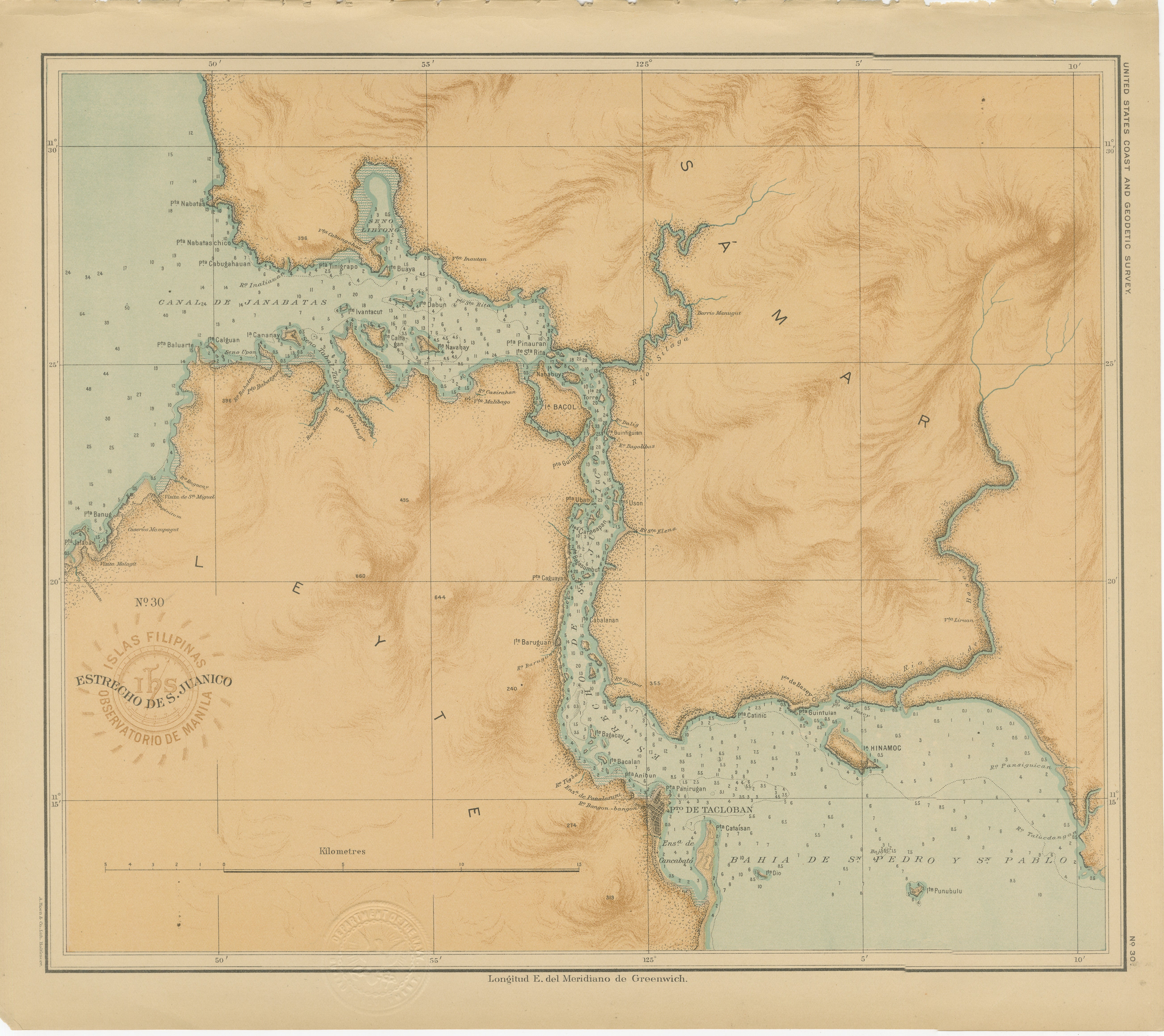
Map of the San Juanico Strait between Leyte and Samar – 1899
€ 230
One of a kind: this is the sheet in the photographs. Ships from Langweer, the Netherlands.
Date
1899
Sheet size
32.5 × 37 cm (12.8 × 14.6 in)
Condition
Excellent
Reference
BG-12176-30
Condition
with strong original color and crisp detail. Very light age toning at the outer margin and minor handling signs; embossed and printed seals remain clear and well defined.
About this sheet
Map of the San Juanico Strait between Leyte and Samar – Observatorio de Manila, 1899
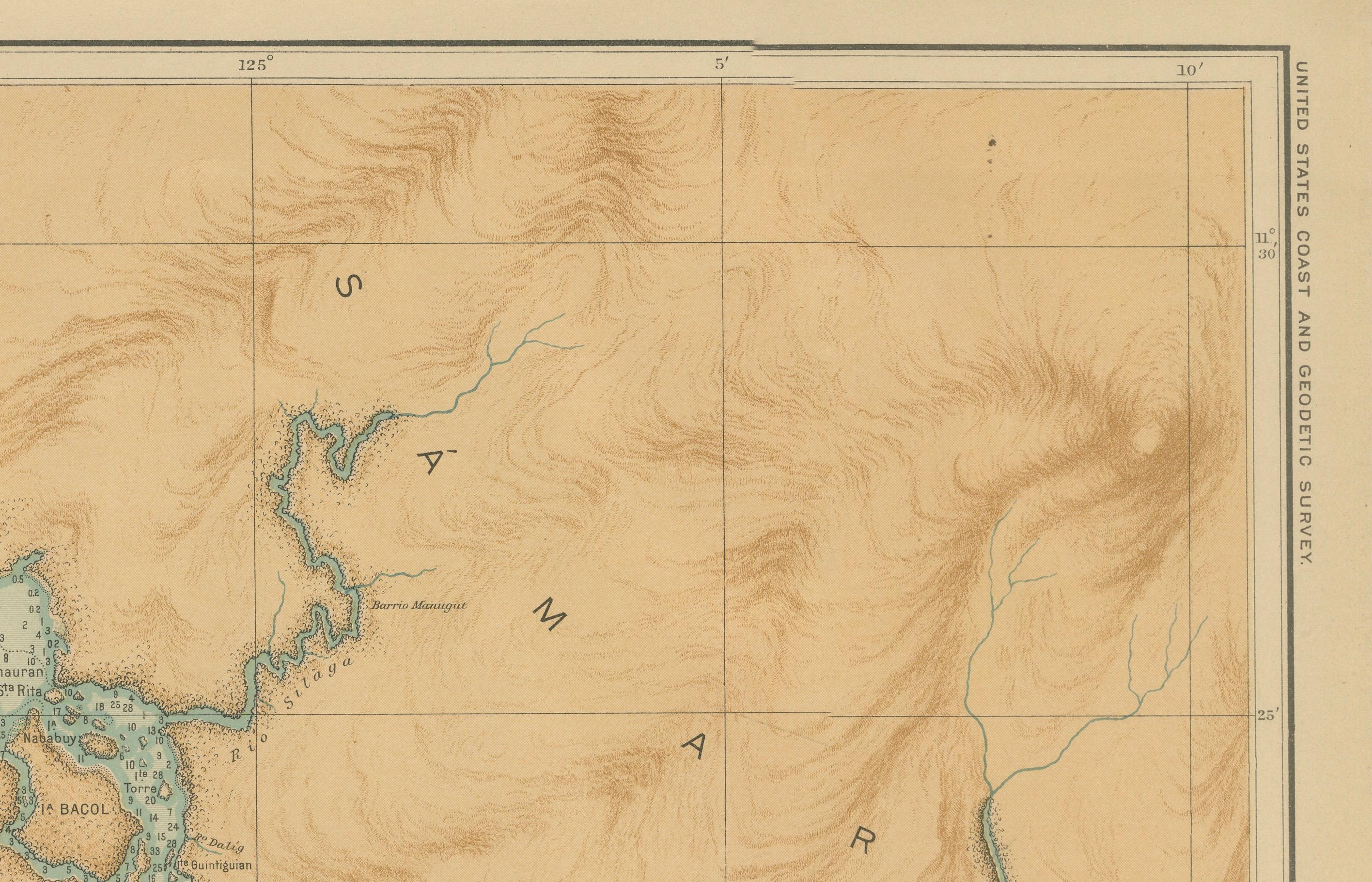
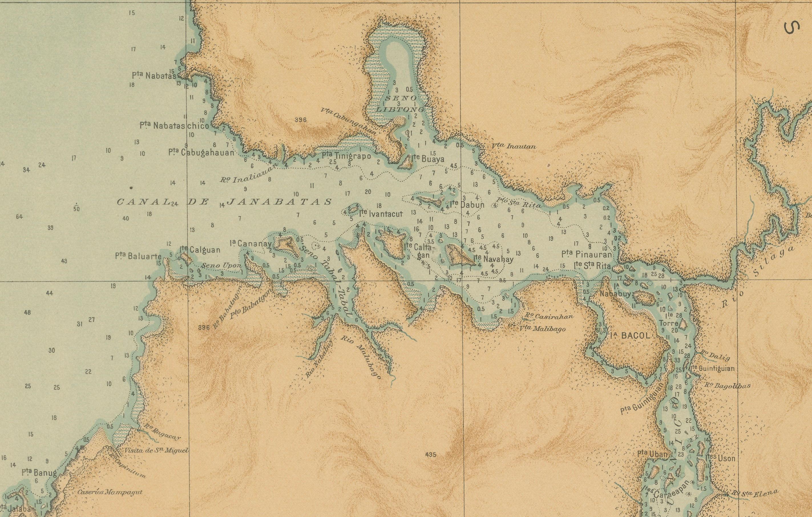
This original chromolithograph titled “Islas Filipinas – Estrecho de San Juanico” (Plate No. 30) was prepared under the direction of Rev. José Algué, S.J., Director of the Observatorio de Manila, and published in 1899 as part of the Atlas de Filipinas. It presents a superbly detailed chart of the narrow and winding San Juanico Strait, separating the islands of Leyte and Samar in the central Philippines.
The map focuses on one of the most distinctive maritime passages in the archipelago — a channel known for its treacherous currents and scenic beauty. The engraving shows the soundings, coastal contours, and numerous small islets that line the strait, reflecting its importance for 19th-century navigation and hydrographic study. Surrounding terrain is carefully shaded in warm brown tones to indicate elevation, while the pale blue waters are dotted with depth measurements, sandbanks, and coral indications.
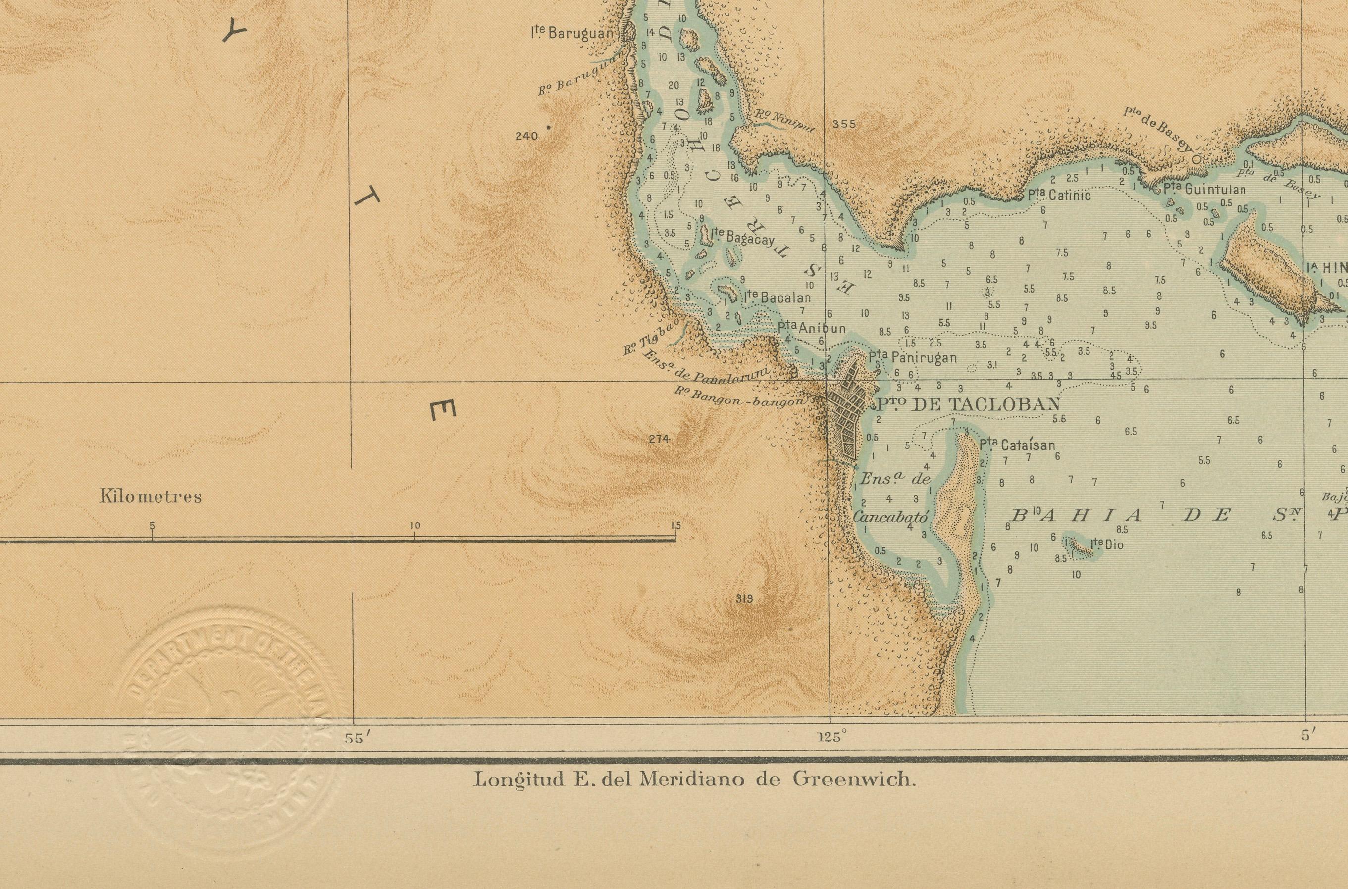
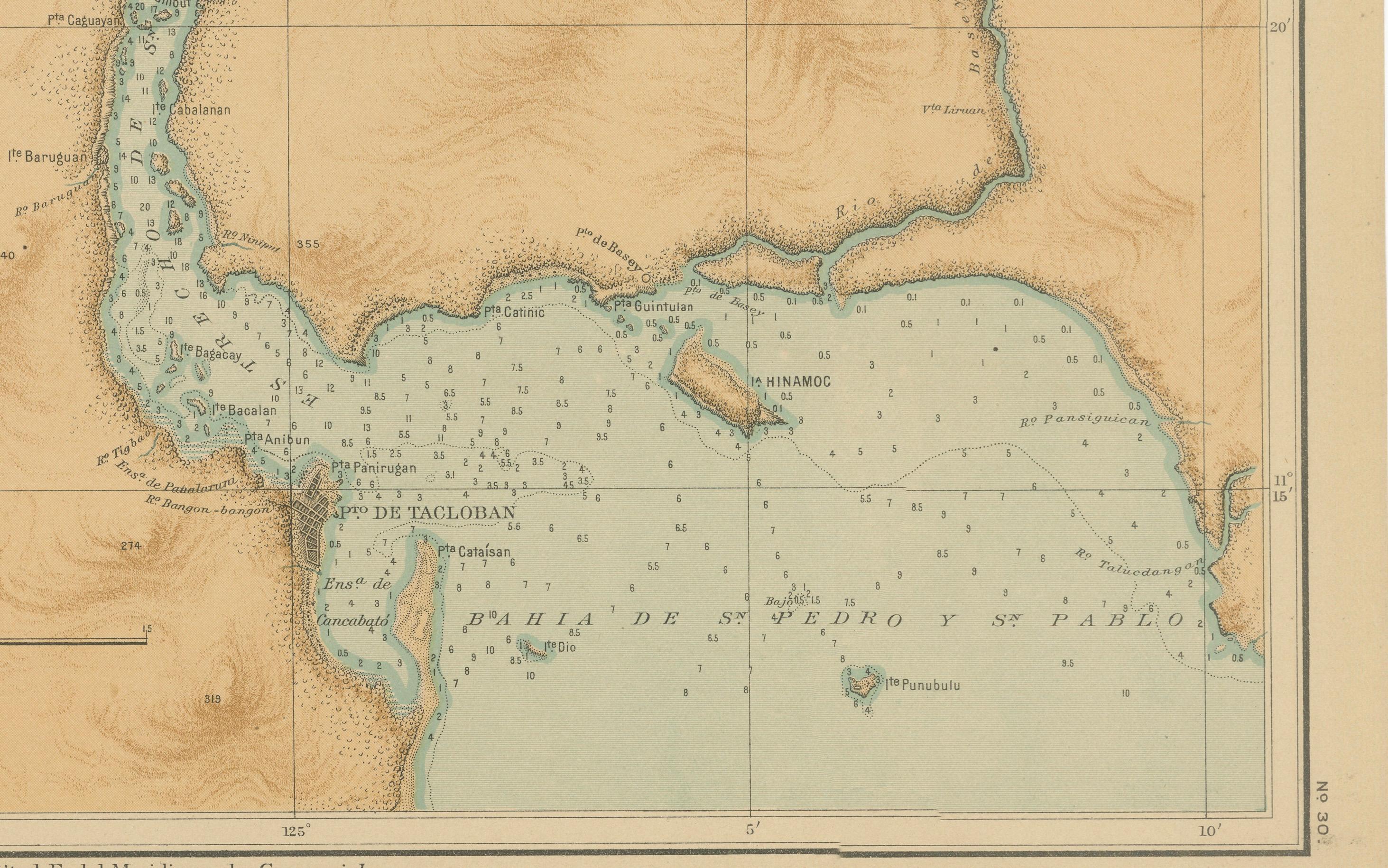
Major coastal settlements such as Tacloban, Basey, and Babatngon are identified, along with nearby bays including the “Bahía de San Pedro y San Pablo.” The map’s fine balance between artistic rendering and scientific accuracy demonstrates the Jesuit cartographers’ mastery of both disciplines.
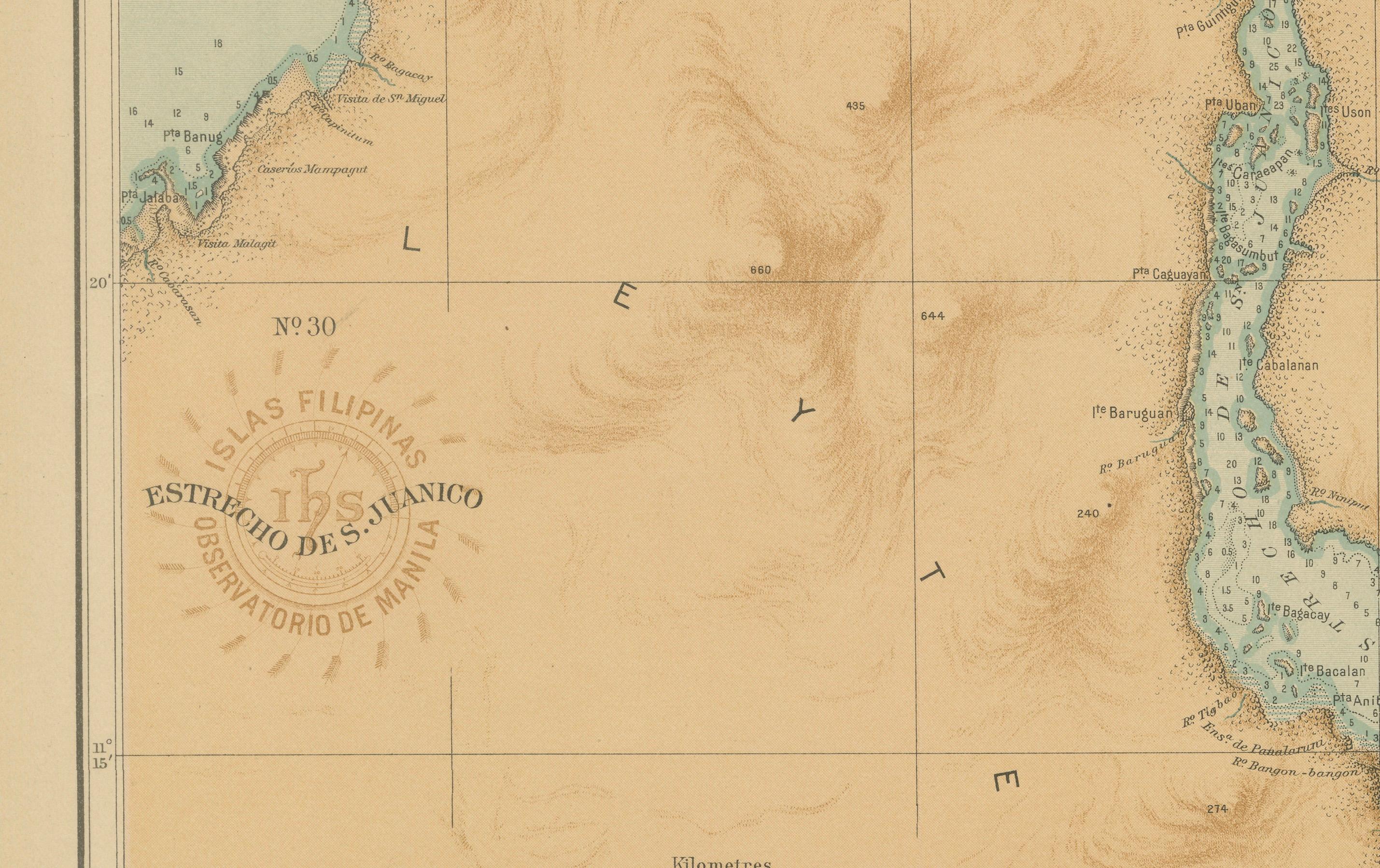
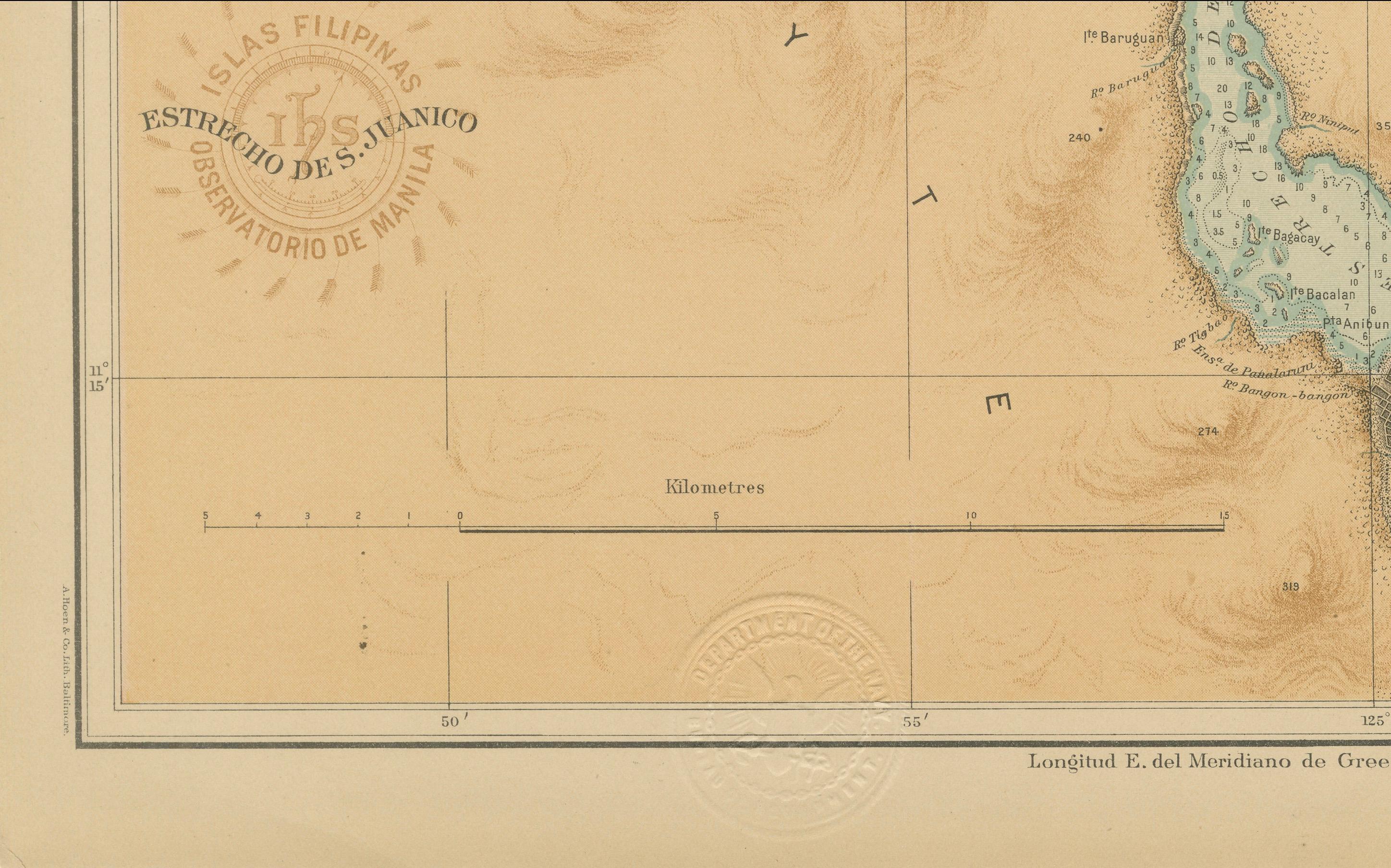
A bold circular brown stamp of the “Observatorio de Manila” appears near the lower left corner, complemented by the blind-embossed seal of the “U.S. Coast and Geodetic Survey” — evidence of its inclusion in the Atlas of the Philippine Islands printed by the U.S. Government Printing Office in Washington in 1900. Together, these marks attest to the transition of Philippine cartography from Spanish to American oversight at the turn of the century.
Condition: Excellent, with strong original color and crisp detail. Very light age toning at the outer margin and minor handling signs; embossed and printed seals remain clear and well defined.
Framing tips: This chart’s soft maritime palette and elegant typography pair beautifully with a light oak or maple frame. A pale blue or cream mat will enhance the nautical theme, especially when displayed alongside the companion maps of Leyte and Samar.
Technique: Chromolithograph on paper Maker: Rev. José Algué, S.J., Observatorio de Manila, 1899