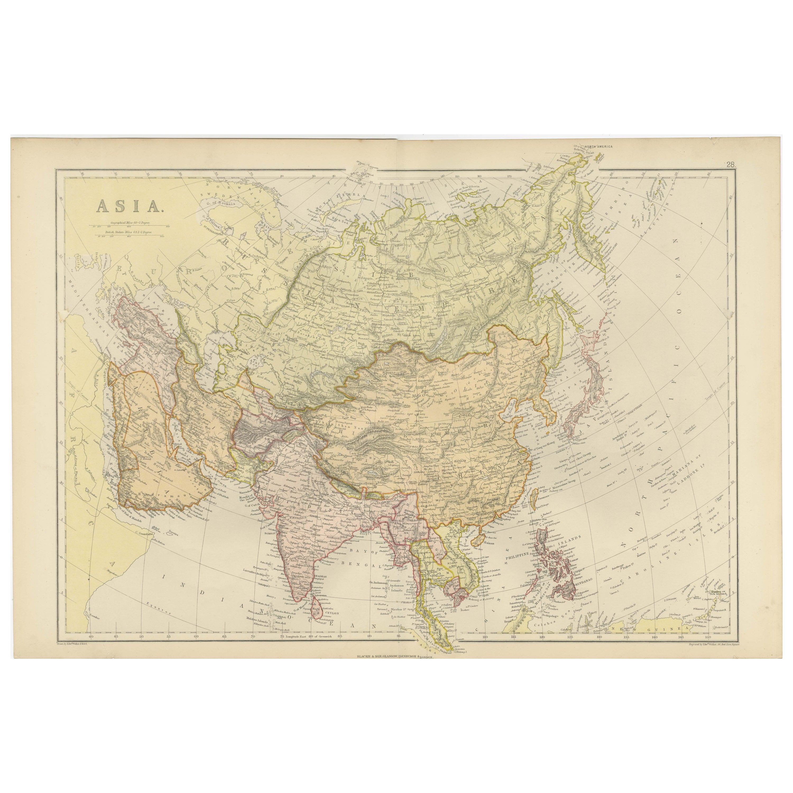
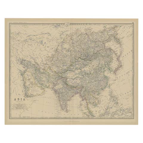
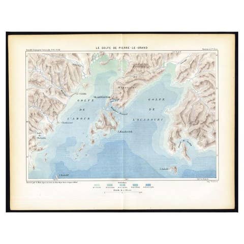
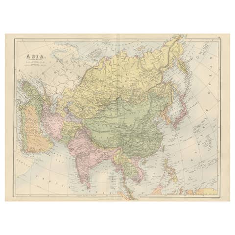
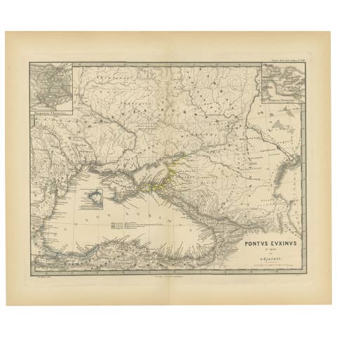
Historical Map Depicting the Continent of Asia, 1882
€ 330
One of a kind: this is the sheet in the photographs. Ships from Langweer, the Netherlands.
Date
1882
Sheet size
38 × 57 cm (15.0 × 22.4 in)
Condition
Good
Reference
BG-13601-2-39
Condition
Good condition, folding line in the middle. The outer borders are slightly discolored due to age, but not the image. One very small tear at bottom left, touching the image. This map is ideal for framing. Study the image carefully.
About this sheet
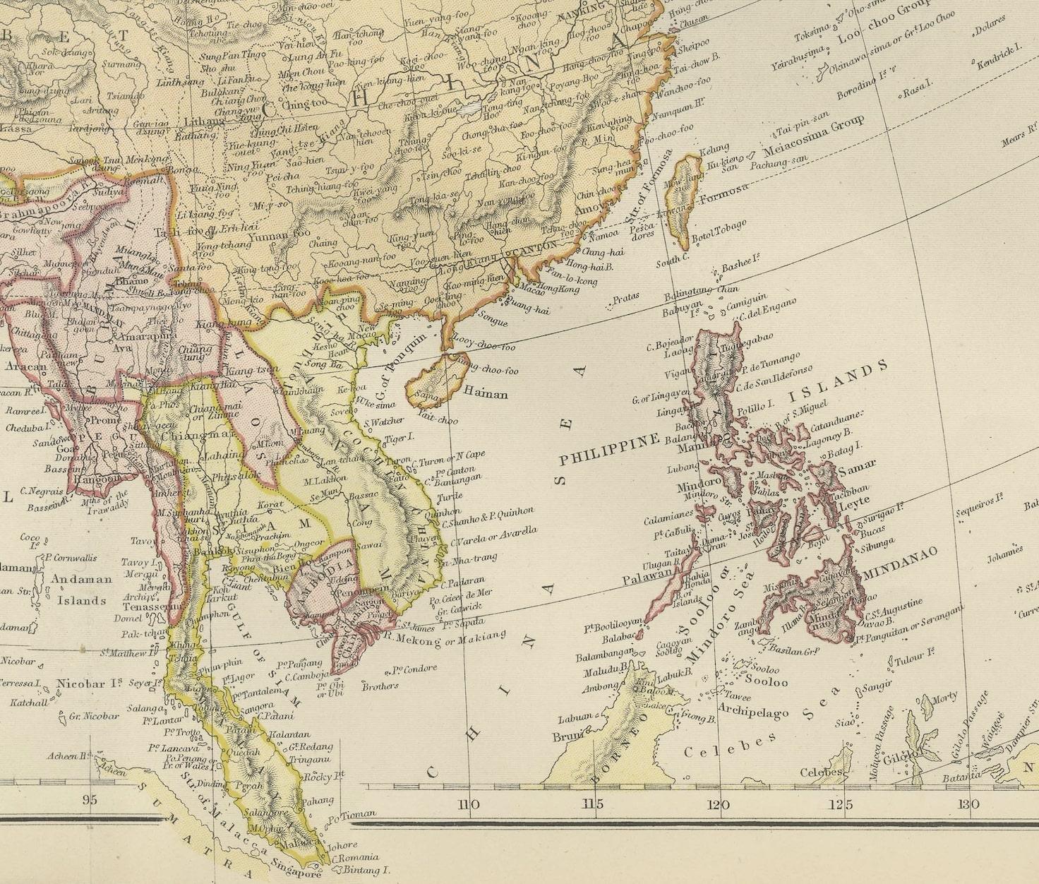
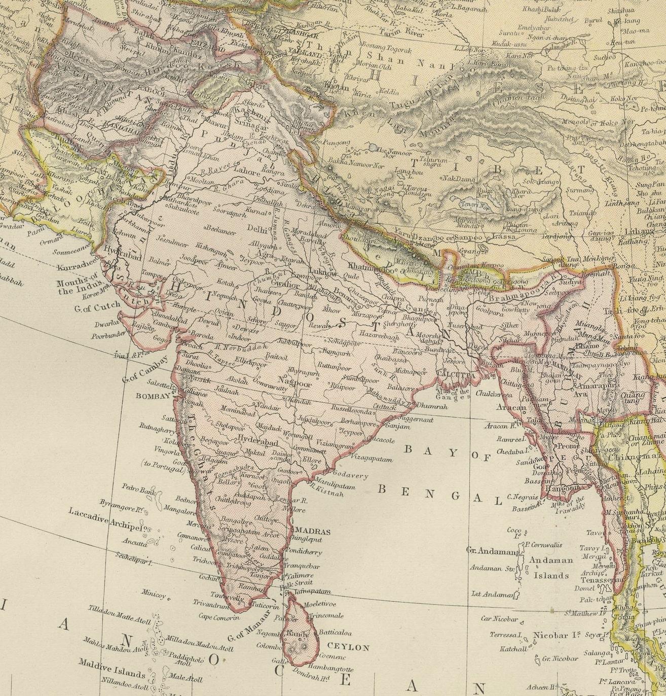
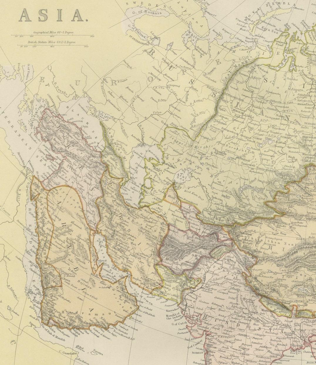
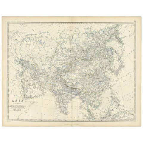
This 1882 map presents a meticulously detailed representation of the continent of Asia, a testament to the cartographic skills of the era. Published as a part of 'Comprehensive Atlas and Geography of the World' by Blackie and Son, it stands as a rich historical document, illustrating the vast and diverse geography of the largest continent.
The map captures the full breadth of Asia, from the desolate Siberian tundra in the north to the tropical archipelagos of Southeast Asia. Its scope includes the extensive mountain ranges such as the Himalayas, the vast plateaus like the Tibetan Plateau, and significant rivers like the Yangtze and the Ganges, all of which are drawn with astonishing accuracy for the period.
Political boundaries are outlined, providing a fascinating insight into the territorial divisions of the time. The map is color-coded to differentiate between the various countries, regions, and their subdivisions, making it a useful tool for understanding the historical geopolitical landscape of 19th-century Asia.
Furthermore, the map features maritime lines and oceanic depths, indicating the knowledge and importance of sea routes for trade and exploration. Each nation is populated with its major cities, railways, and roads, signaling the progress of industrialization and infrastructure development.
The precision in the cartographic details, combined with the aesthetic design, reflects the high standards of Blackie and Son's publishing, making it both an educational resource and a piece of art. For historians, geographers, and collectors, this map is a valuable window into the past, revealing how the 19th century understood and interacted with the complex tapestry that is Asia.