

Maps & PrintsBartele Gallery · Langweer
Home / Antique Maps / Asia / Asia as a Whole

Asia as a Whole

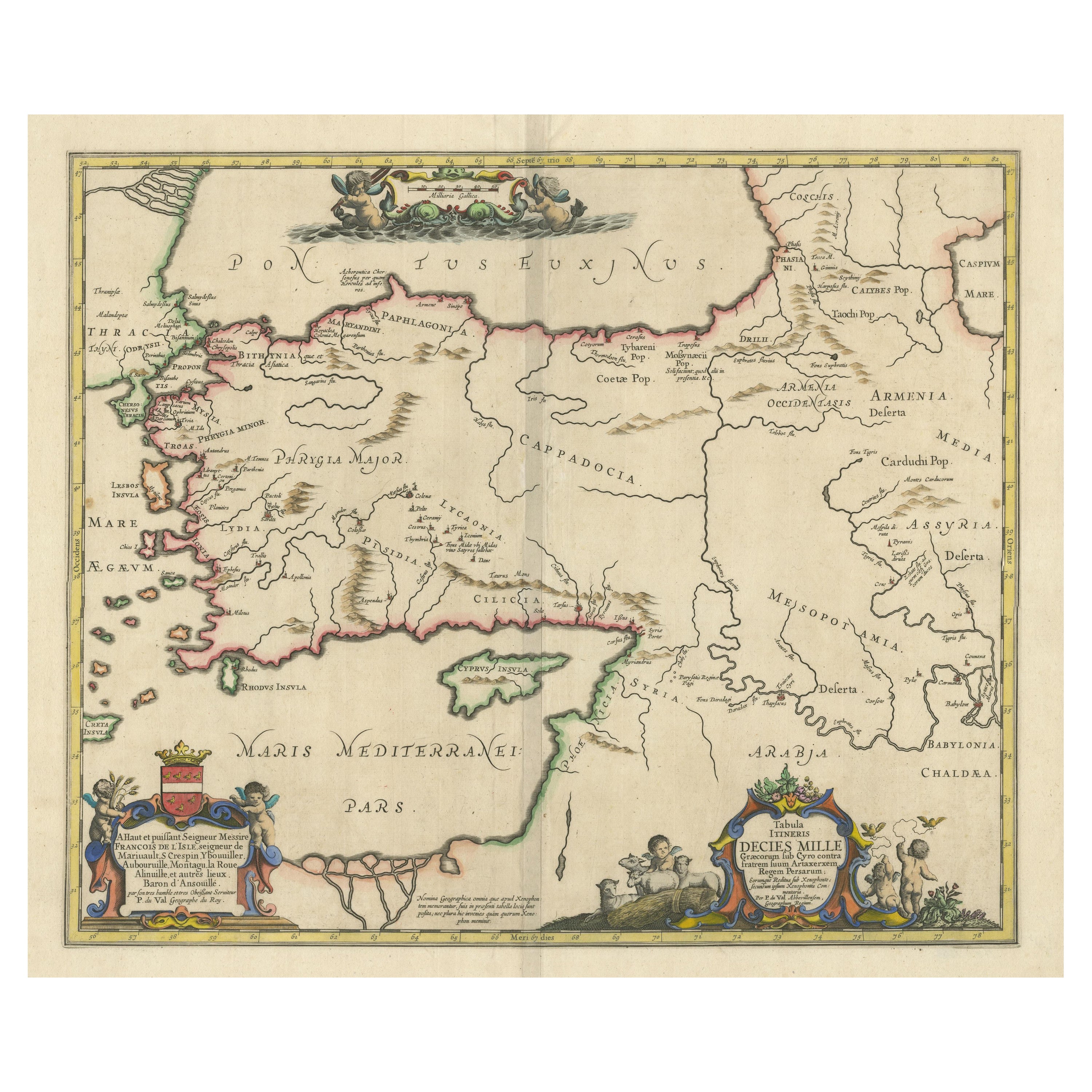

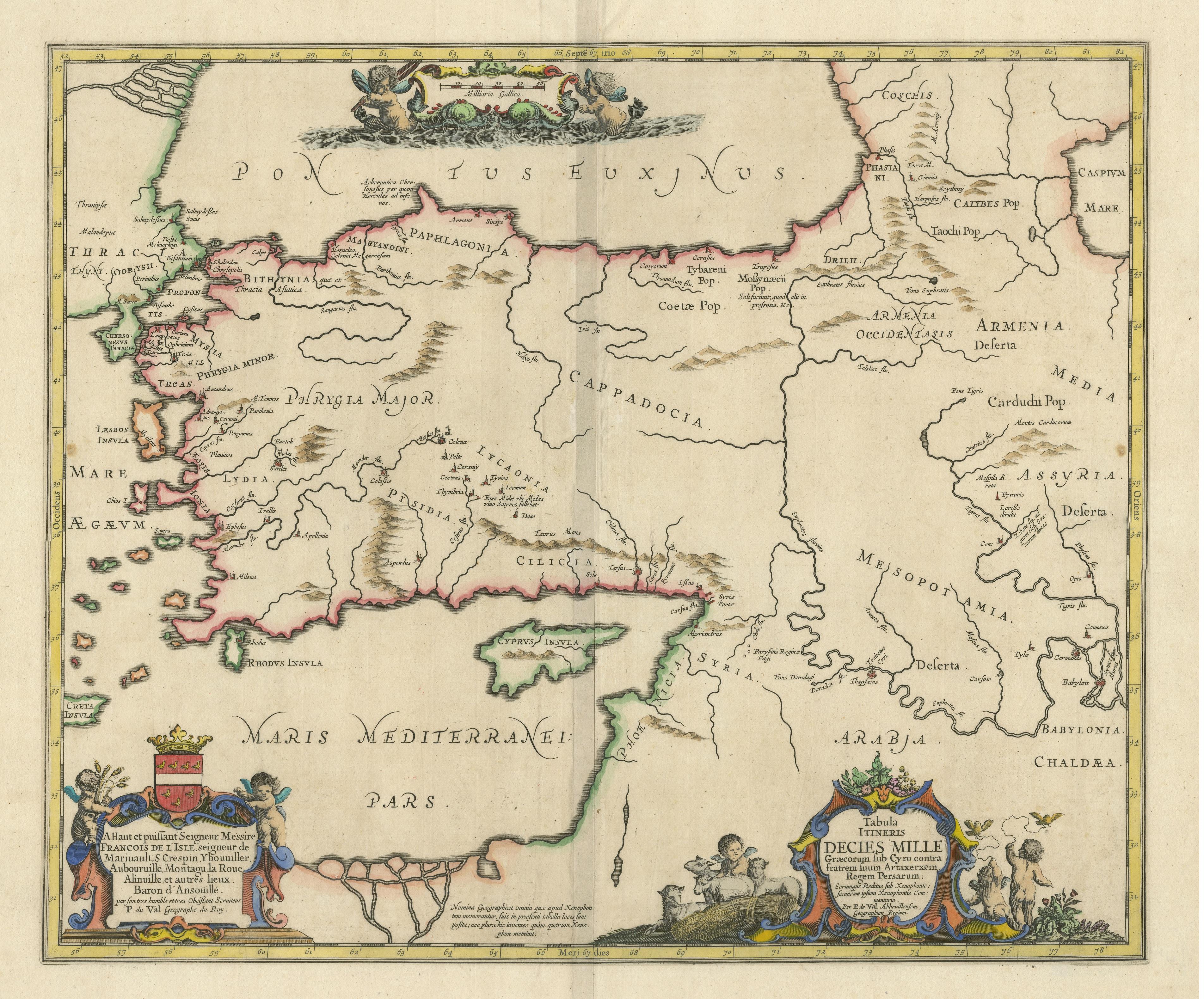
Antique Map of the Region involved in the Conquest of Cyrus the Great

€ 690

One of a kind: this is the sheet in the photographs. Ships from Langweer, the Netherlands.

Sheet size
52.2 × 57.8 cm (20.6 × 22.8 in)
Condition
Good
Reference
BG-13422

Condition

General age-related toning. Minor wear and soiling. Blank verso. Please study image carefully.
About this sheet

Antique map titled 'Tabula Itineris Decies Mille (..)'. This historical map illustrates the region involved in the conquest of Cyrus the Great (558-528 BC), the founder of the Persian Empire under the Achaemenid dynasty. It covers all of Asia Minor through to Armenia and Babylon. Three superb cartouches featuring putti adorn the map, which was compiled and drawn by Pierre Duval for Jansson's historical atlas.

More from Asia as a Whole

Ask about this sheet

Antique Map of the Region involved in the Conquest of Cyrus the Great
Ref. BG-13422 · € 690
We reply by email, usually within one working day.