Maps & PrintsBartele Gallery · Langweer
Home / Antique Maps / Europe

Europe · 17th century

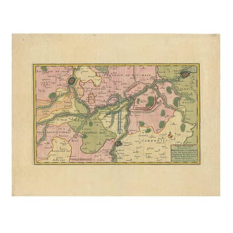
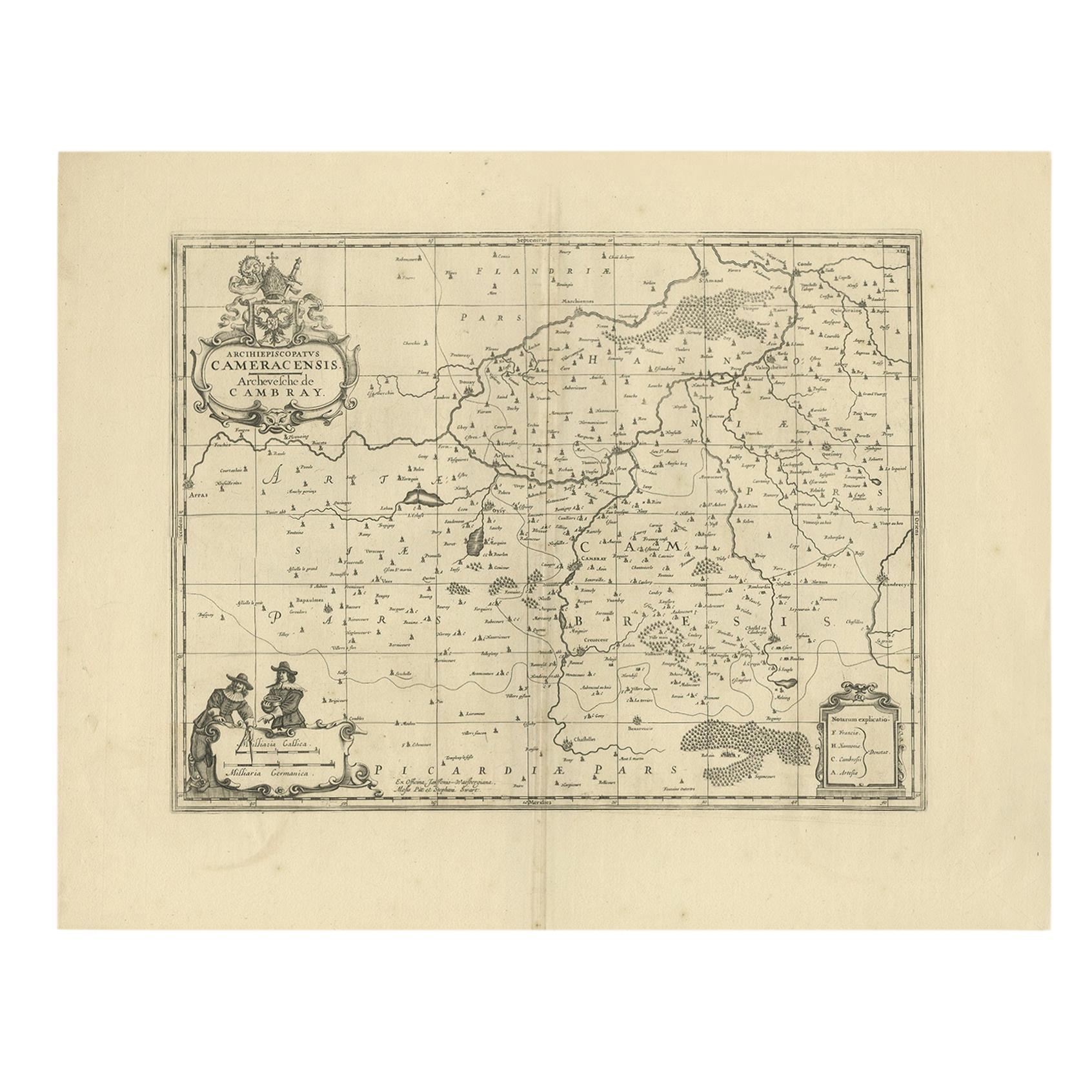
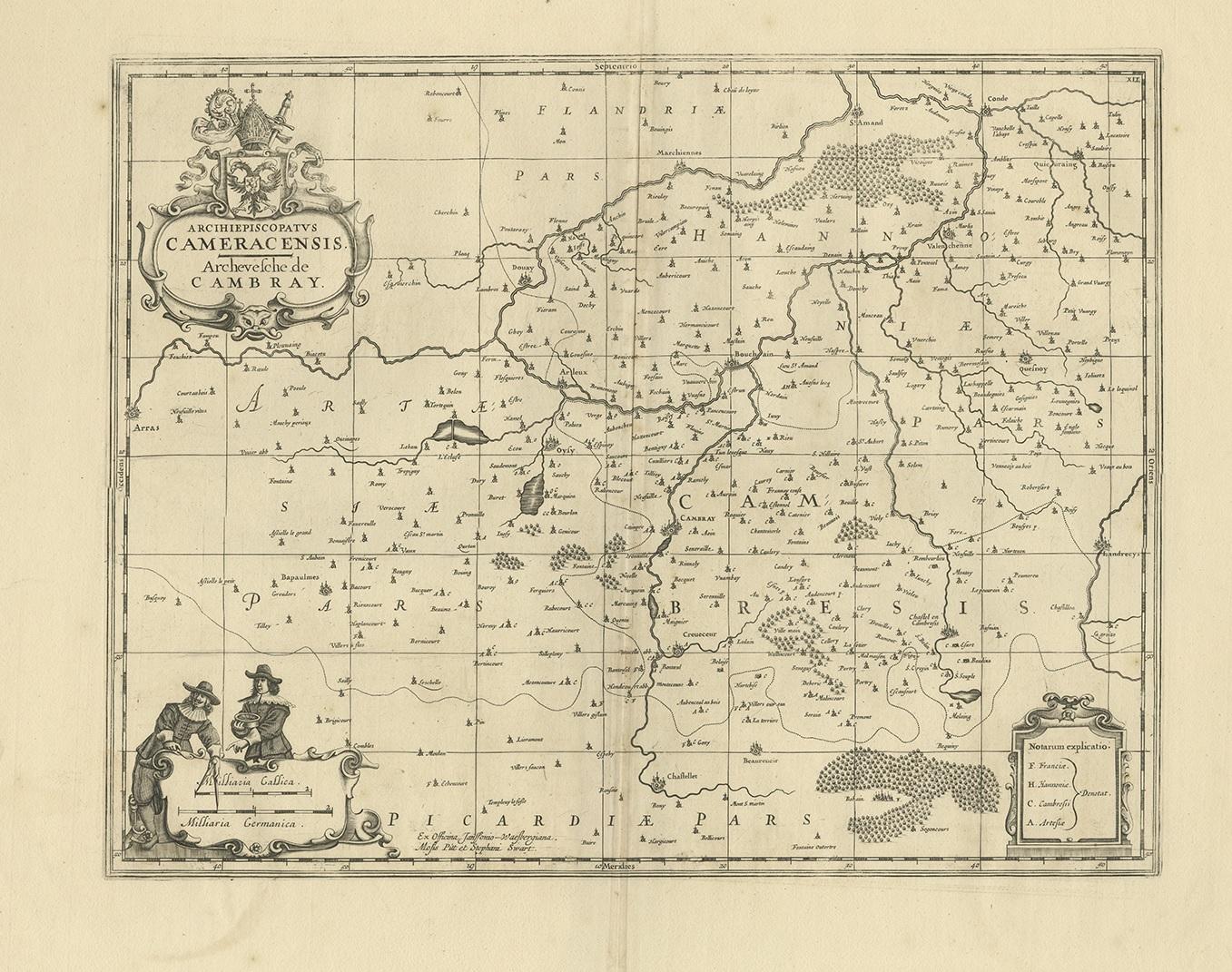
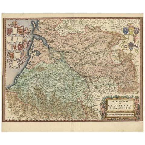
Antique Map of the Cambrai Region by Pitt, circa 1680

€ 600

One of a kind: this is the sheet in the photographs. Ships from Langweer, the Netherlands.

Date
1680
Sheet size
53 × 66 cm (20.9 × 26.0 in)
Condition
Good
Reference
BG-12390-25

Condition

General age-related toning, minor wear. Blank verso. Please study image carefully.
About this sheet

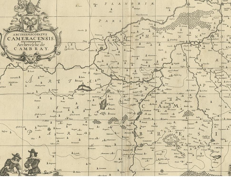
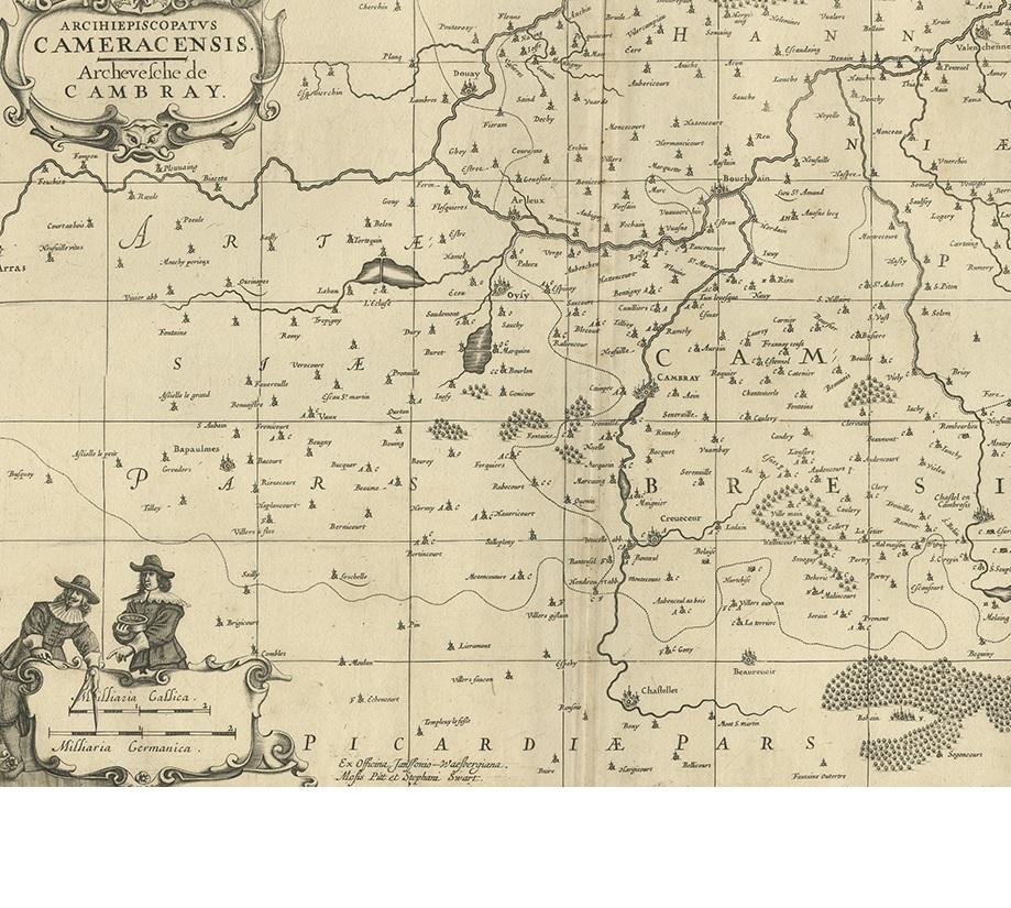
Antique map titled 'Archiepiscopatus Cameracensis - Archevesche de Cambray'. Decorative map of the Cambrai region of France. This map originates from 'The English Atlas' by Moses Pitt. Moses Pitt, a London bookseller, had an ambitious plan to produce a 12-volume atlas in the Blaeu-Jansson tradition: however, only the first four atlases were published, and only the text to the fifth was printed. The project halted when Pitt was imprisoned for debts incurred as a result of building speculation.

More from Europe

Ask about this sheet

Antique Map of the Cambrai Region by Pitt, circa 1680
1680 · Ref. BG-12390-25 · € 600
We reply by email, usually within one working day.