Maps & PrintsBartele Gallery · Langweer
Home / Antique Maps / Europe / Western Europe / France

France · 17th century

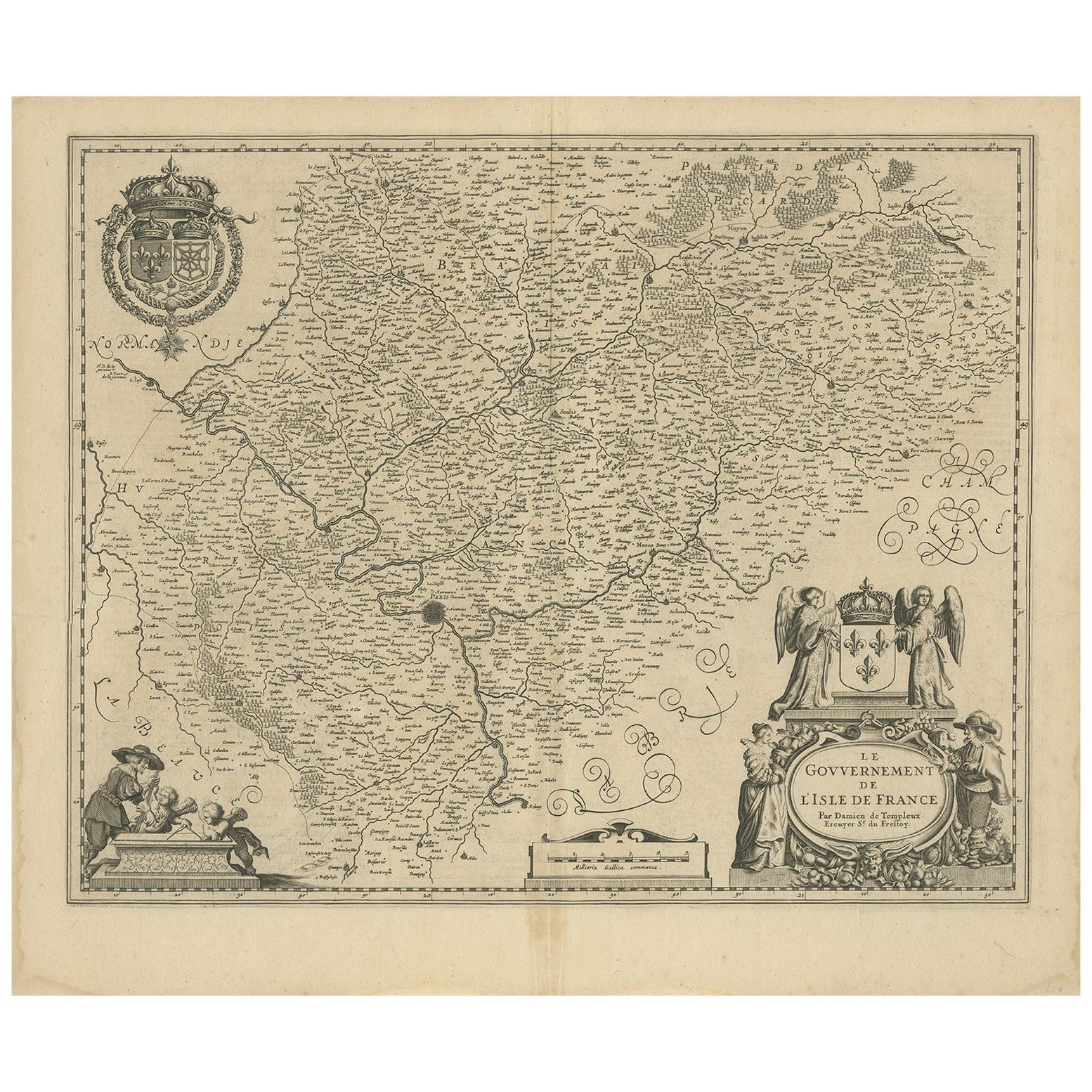
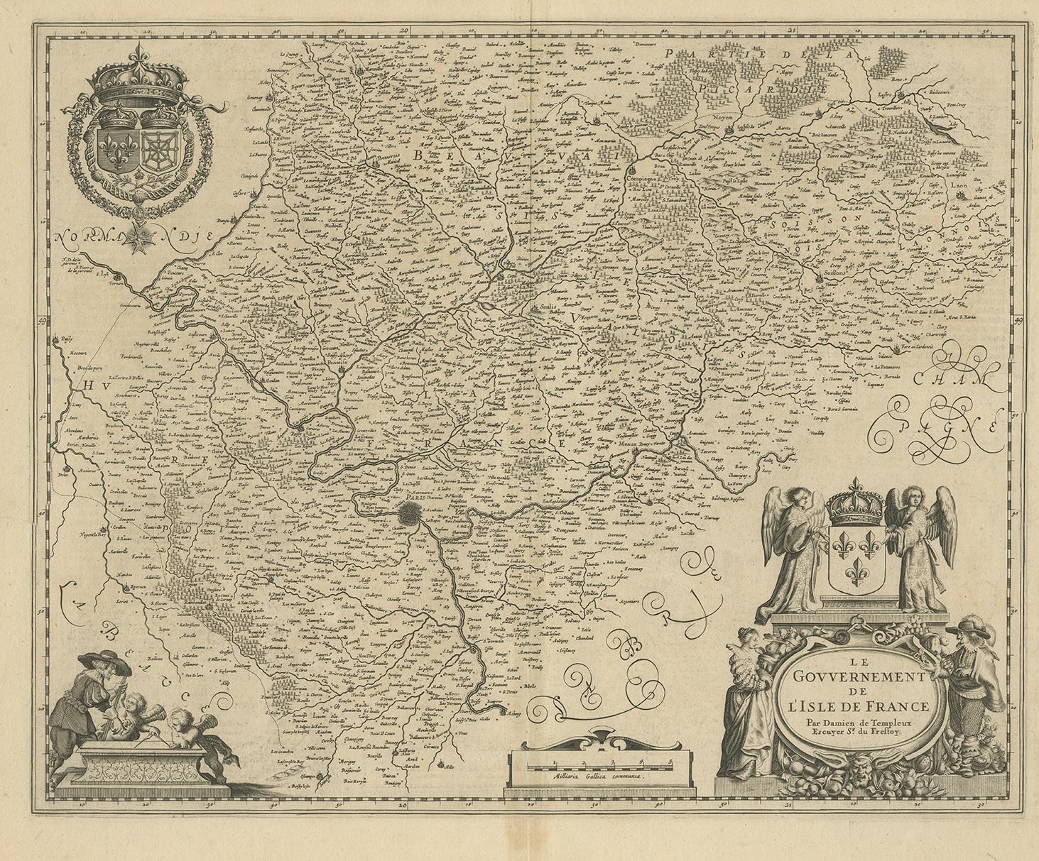
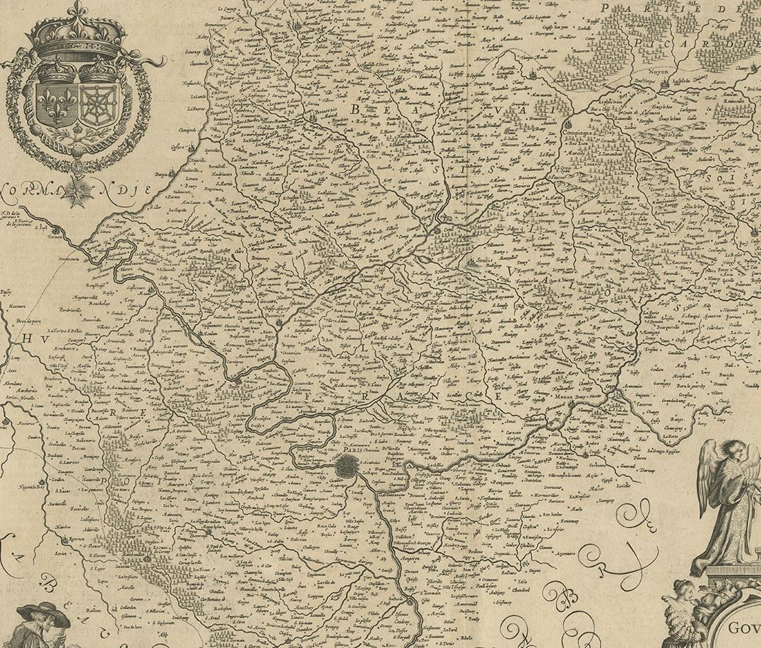
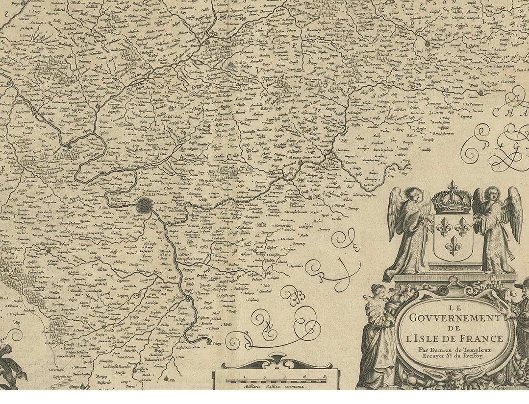
Antique Map of the Region of 'Île de France' by Janssonius, circa 1650

€ 450

One of a kind: this is the sheet in the photographs. Ships from Langweer, the Netherlands.

Date
1650
Mapmaker / artist
Johannes Janssonius (Artist)
Sheet size
49 × 57.5 cm (19.3 × 22.6 in)
Condition
Good
Reference
BG-12390-20

Condition

General age-related toning. Two tears, slightly affecting image. Dutch text on verso. Please study images carefully.

About this sheet

Antique map of France titled 'Le Gouvernement de L'Isle de France'. Paris is represented by a miniature plan of the city, making it distinct from the other towns of the region which are represented in a more stylized fashion. Surmounted with the French arms, crowned and attended by two angels. The base of the cartouche is surrounded with garlands of fruit and grapes, and flanked by a French nobleman and noblewoman. Published by J. Janssonius.

More from France

Ask about this sheet

Antique Map of the Region of 'Île de France' by Janssonius, circa 1650
1650 · Ref. BG-12390-20 · € 450
We reply by email, usually within one working day.