Maps & PrintsBartele Gallery · Langweer
Home / Antique Maps / Europe / Western Europe / Germany

Germany · 17th century

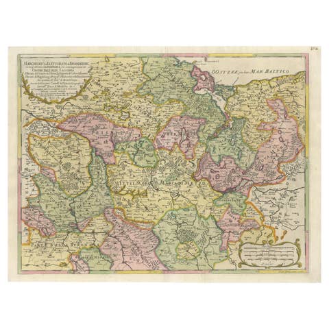
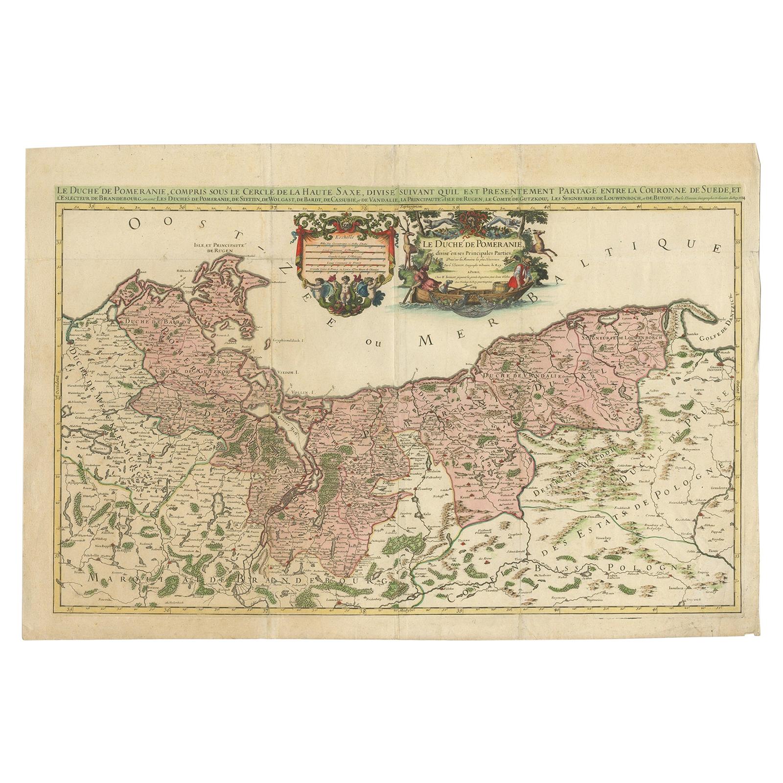
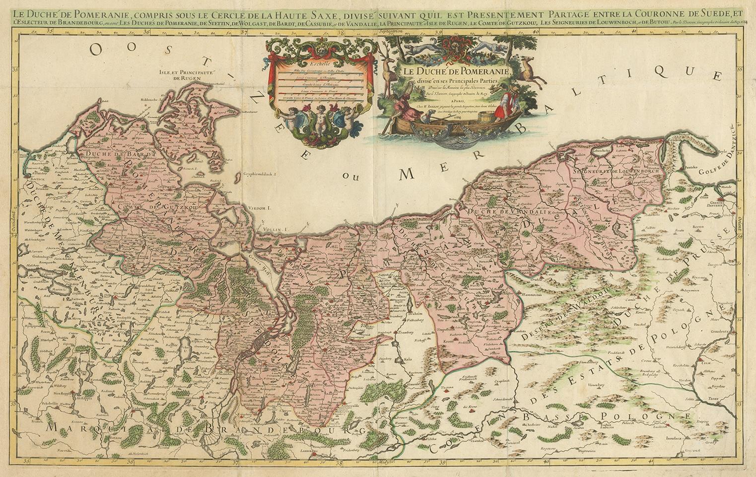
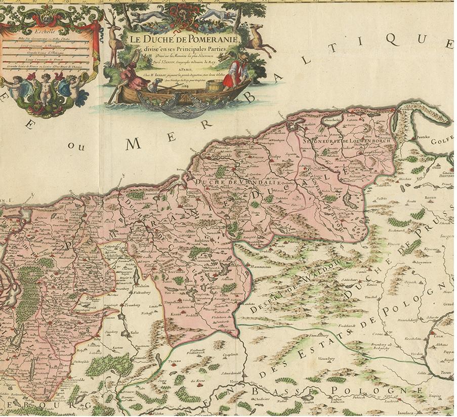
Original Hand-coloured Antique Map of Pomerania by Sanson '1684'

€ 950

One of a kind: this is the sheet in the photographs. Ships from Langweer, the Netherlands.

Date
1684
Mapmaker / artist
Nicolas Sanson (Artist)
Sheet size
63.5 × 93 cm (25.0 × 36.6 in)
Condition
Good
Reference
BG-12425-3

Condition

Orginal folding. Strengthened and repaired on verso (blank). Please study images carefully.
About this sheet

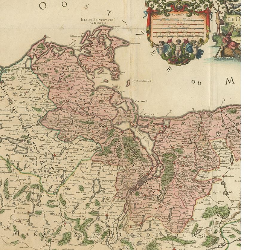
Antique map titled 'Le Duche de Pomeranie divise en ses Principales Parties (..)'. Large map of Pomerania. Pomerania is a historical region on the southern shore of the Baltic Sea in Central Europe, split between Poland and Germany. This map exists of two joined sheets.

More from Germany

Ask about this sheet

Original Hand-coloured Antique Map of Pomerania by Sanson '1684'
1684 · Ref. BG-12425-3 · € 950
We reply by email, usually within one working day.