Antique Maps
5,418 original sheets
Europe 3023Asia 1110Africa 236America 548Australia & Oceania 159World Maps 111Sea Charts 209Celestial Maps 22
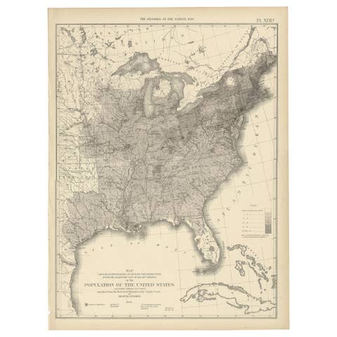
Pl. 17A Antique Chart of the US Population 1860 by Walker, '1874'
1860 · € 450
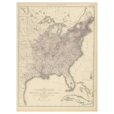
Pl. 17 Antique Chart of the US Population 1850 by Walker, 1874
1850 · € 450
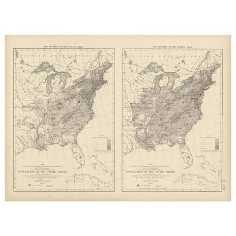
Pl. 16A Antique Chart of the US Population 1830-1840 by Walker, 1874
1830 · € 450

Pl. 9 Antique Hypsometric Sketch of the United States by Walker, 1874
1874 · € 450

Pl. 7 Antique Temperature Chart of the United States by Walker, 1874
1874 · € 500

Antique Chart of the Storm Centres of the United States, 1874
1874 · € 400
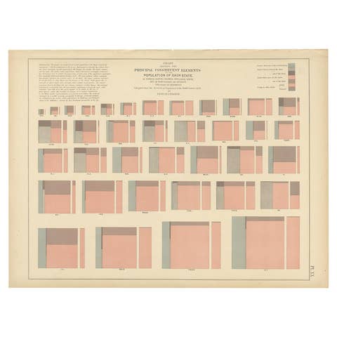
Antique Chart of the Population of the United States by Walker '1874'
1874 · € 300

Antique Chart of Occupations and School Attendance of the United States, 1874
1874 · € 300

Antique Chart of the Church Accommodation of the United States by Walker, 1874
1874 · € 300
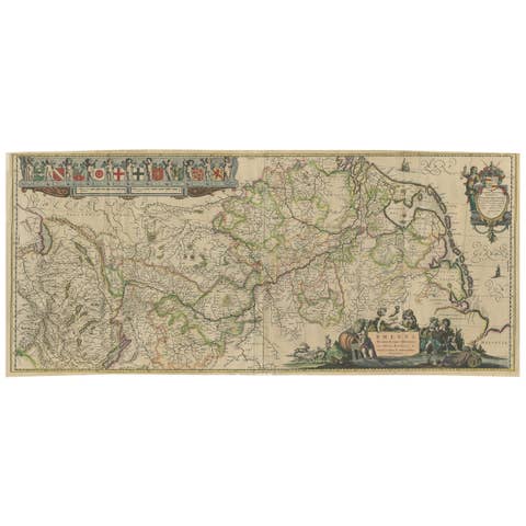
Large Rhine River Map, Moselle and Meuse, by Willem Blaeu, Hand-colored - 1640
1640 · € 1 490

Original Antique Map of the United Kingdom and Ireland, Published in 1875
1875 · € 350
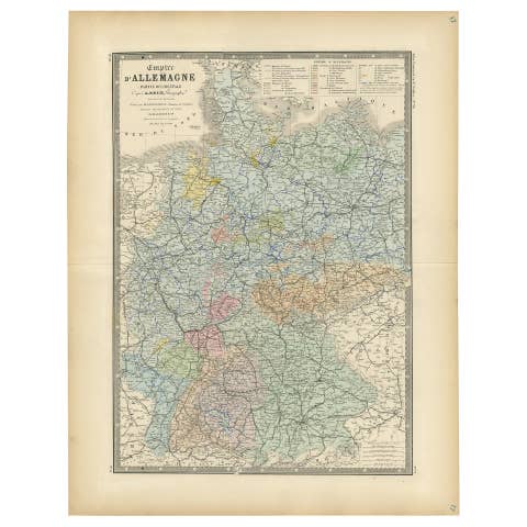
Antique Map of the Western Part of the German Empire by Levasseur, '1875'
1875 · € 400
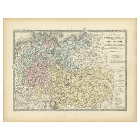
Antique Map of the German Empire by Levasseur, '1875'
1875 · € 400
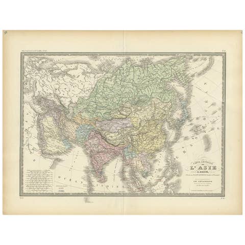
Antique Map of the Asian Continent by Levasseur, '1875'
1875 · € 500
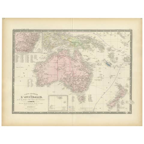
Antique Map of Australia by Levasseur, '1875'
1875 · € 500
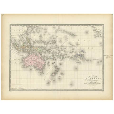
Antique Map of Oceania by Levasseur, '1875'
1875 · € 250
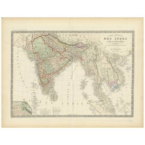
Authentic Antique Map of India and Ceylon, 1875
1875 · € 390
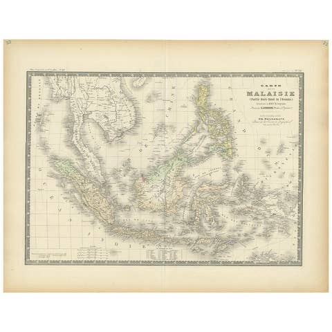
Antique Map of the East Indies by Levasseur, 1875
1875 · € 370
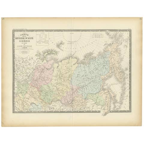
Antique Map of Siberia by Levasseur '1875'
1875 · € 400
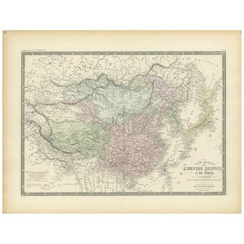
Antique Map of the Chinese Empire and Japan, 1875
1875 · € 390
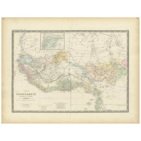
Antique Map of Western Africa by Levasseur '1875'
1875 · € 400

Antique Map of Algeria and the French Colonies, 1875
1875 · € 400
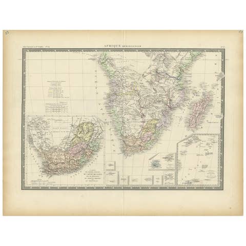
Antique Map of Southern Africa by Levasseur, 1875
1875 · € 360

Antique Map of Northern Africa by Levasseur, '1875'
1875 · € 400
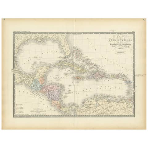
Antique Map of the Antilles in the Caribbean, '1875'
1875 · € 500
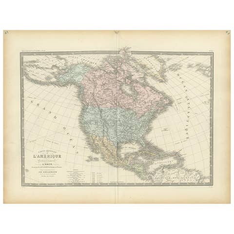
Antique Map of North America by Levasseur, 1875
1875 · € 385
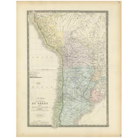
Original Antique Map of Peru in South America, 1875
1875 · € 350
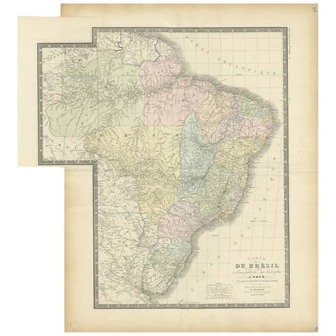
Antique Map of Brazil by Levasseur '1875'
1875 · € 400
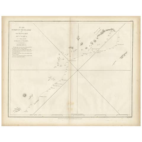
Antique Map of Part of the Korean Archipelago, 1798
1798 · € 550
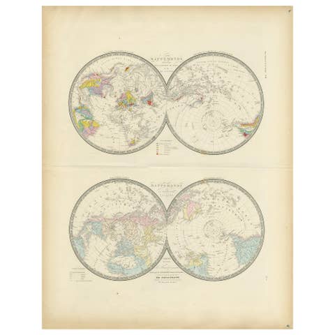
Antique Hemisphere Map of the World 'Two on One Sheet' by Levasseur, '1875'
1875 · € 500
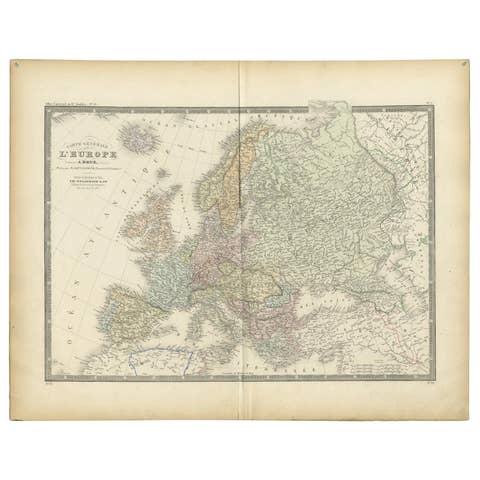
Antique Map of Europe by Levasseur, '1875'
1875 · € 500
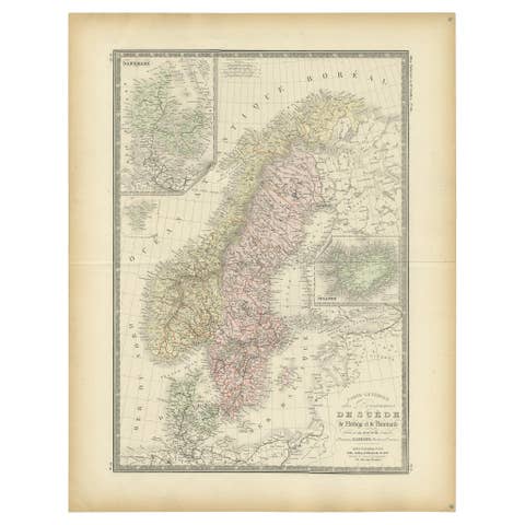
Map of Scandinavia – Antique Atlas Map by A. Levasseur, France, 1875
1875 · € 500
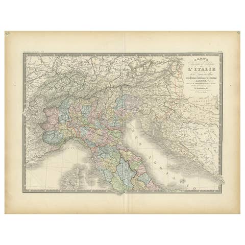
Antique Map of Northern Italy by Levasseur, 1875
1875 · € 370
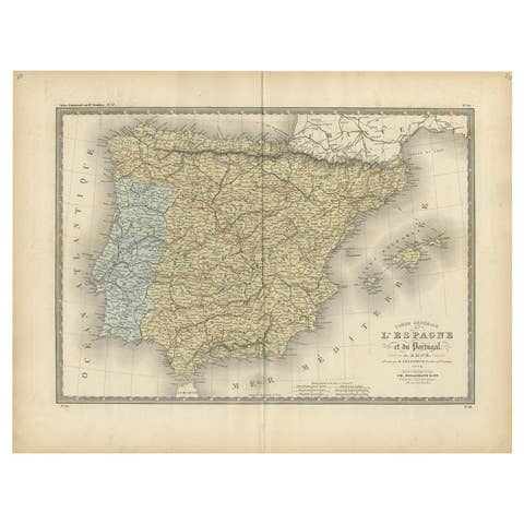
Antique Map of Spain and Portugal by Levasseur, '1875'
1875 · € 500
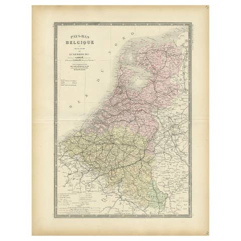
Decorative Antique Map of the Netherlands and Belgium, ca.1875
1875 · € 400
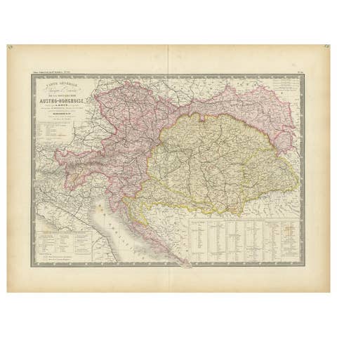
Antique Map of Austria-Hungary by Levasseur, '1875'
1875 · € 400
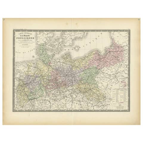
Antique Map of the Prussian Monarchy by Levasseur, '1875'
1875 · € 400

Antique Map of Russia in Europe by Levasseur, '1875'
1875 · € 350
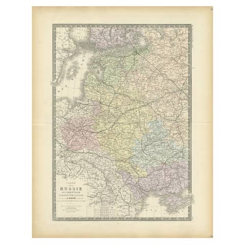
Antique Map of Western Russia by Levasseur, '1875'
1875 · € 350
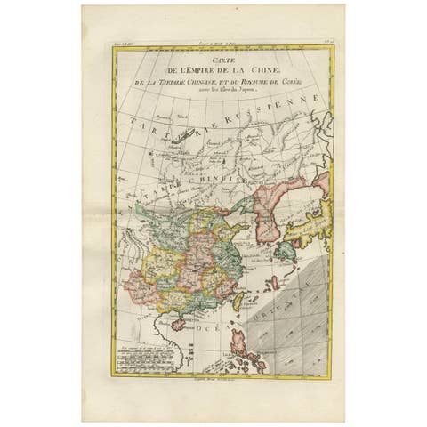
Antique Map of China, Korea, Japan and the Northern Philippines, circa 1780
1780 · € 330
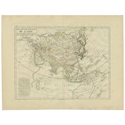
Antique Map of Asia by Mentelle, 1819
1819 · € 450
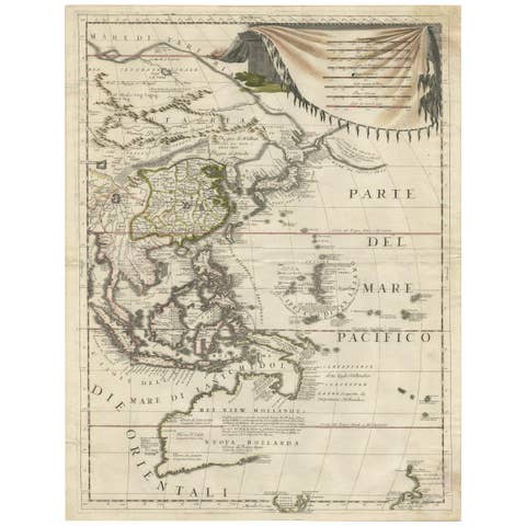
Antique Map of East Asia by Coronelli, circa 1690
1690 · € 2 900
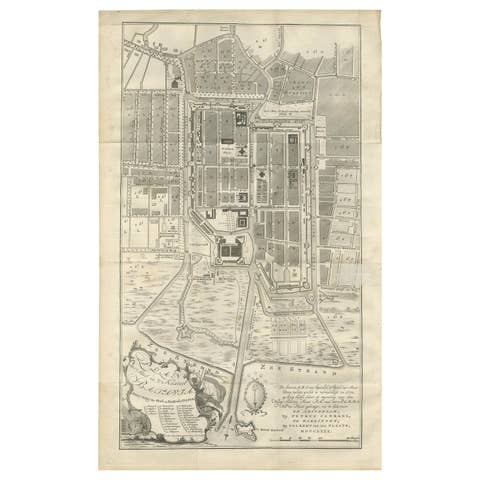
Antique Plan of Batavia by Van Krevelt, circa 1780
1780 · € 2 500
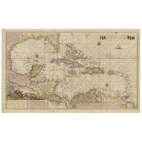
Engraving of a Map of Florida, the Gulf Coast, Caribbean & Central America, 1728
1728 · € 13 700
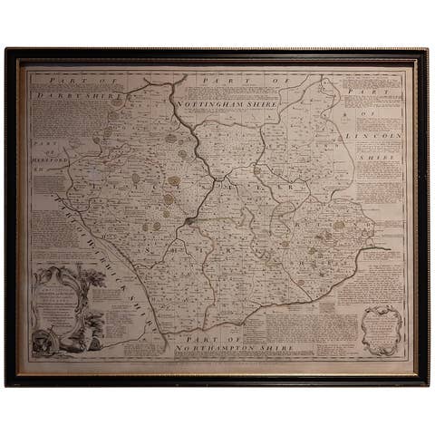
Antique Map of Leicester and Rutland by Tinney & Sayer, 'circa 1756'
1756 · € 800
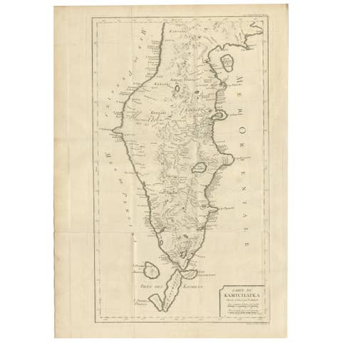
Antique Map of Kamtchatka by Didot, '1759'
1759 · € 300

Vintage Wall Chart of Australia, 1949
1949 · € 800

Vintage Wall Chart of a Landscape and Geographic Map, circa 1955
1955 · € 600