Maps & PrintsBartele Gallery · Langweer
Home / Antique Maps / Africa

Africa · 17th century

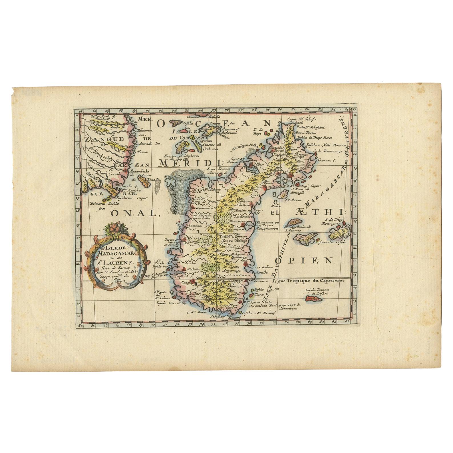
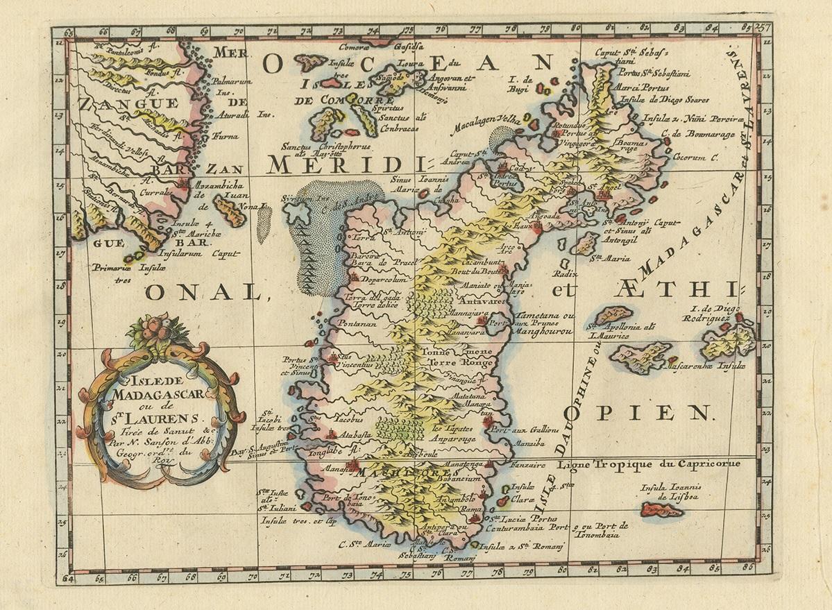
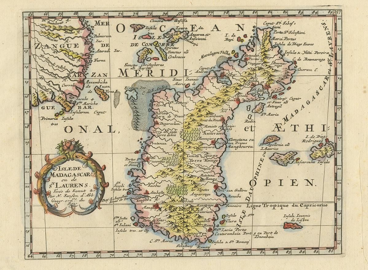
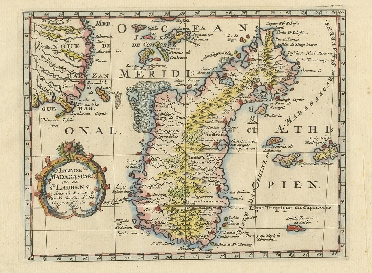
Antique Map of Madagascar by N. Sanson, circa 1680

€ 250

One of a kind: this is the sheet in the photographs. Ships from Langweer, the Netherlands.

Date
1680
Mapmaker / artist
Nicolas Sanson (Artist)
Sheet size
24.5 × 37 cm (9.6 × 14.6 in)
Condition
Good
Reference
BG-12416-3

Condition

General age-related toning. Minor wear and foxing, blank verso. Please study images carefully.
About this sheet

Antique map titled 'Isle de Madagascar ou de St. Laurens. Tiree de Sanutu &c'. Antique map of Madagascar, first published by Sanson in 1657. Sanson notes the source of his map as Livio Sanuto and others. Livio Sanuto was a mid-16th century Italian cosmographer and mathematician who contributed and was one of the primary map makers of his time.

Sanuto created the first Atlas of Africa ( Geografia dell 'Africa) published in 1588 in Venice, which was without question the most accurate work of its time and formed the basis for the mapping of Africa for the next century.

More from Africa

Ask about this sheet

Antique Map of Madagascar by N. Sanson, circa 1680
1680 · Ref. BG-12416-3 · € 250
We reply by email, usually within one working day.