Maps & PrintsBartele Gallery · Langweer
Home / Antique Maps / Africa

Africa · 19th century

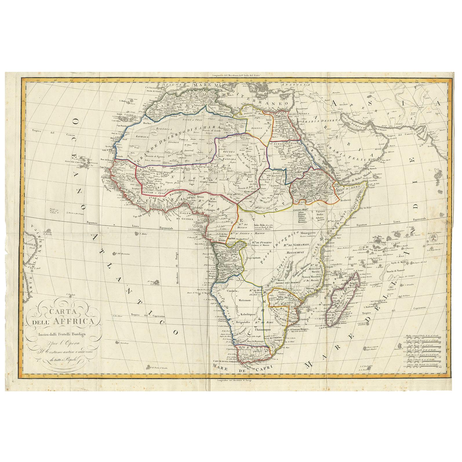
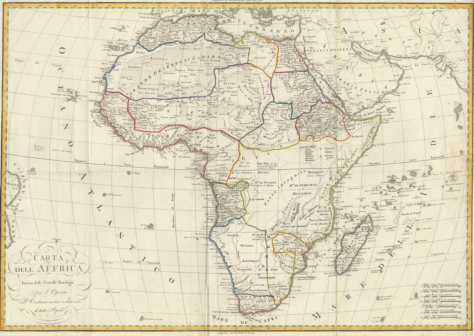
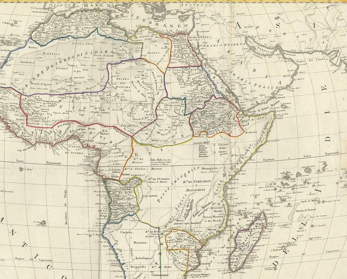
Antique Map of Africa by Bordiga Fratelli 'circa 1818'

€ 1 800

One of a kind: this is the sheet in the photographs. Ships from Langweer, the Netherlands.

Date
1818
Sheet size
56 × 76.5 cm (22.0 × 30.1 in)
Condition
Good
Reference
BG-12177

Condition

Repaired: right margin trimmed to neat line, paper repair on verso. Wear consistent with age and use. Old folds, some marginal foxing.

About this sheet

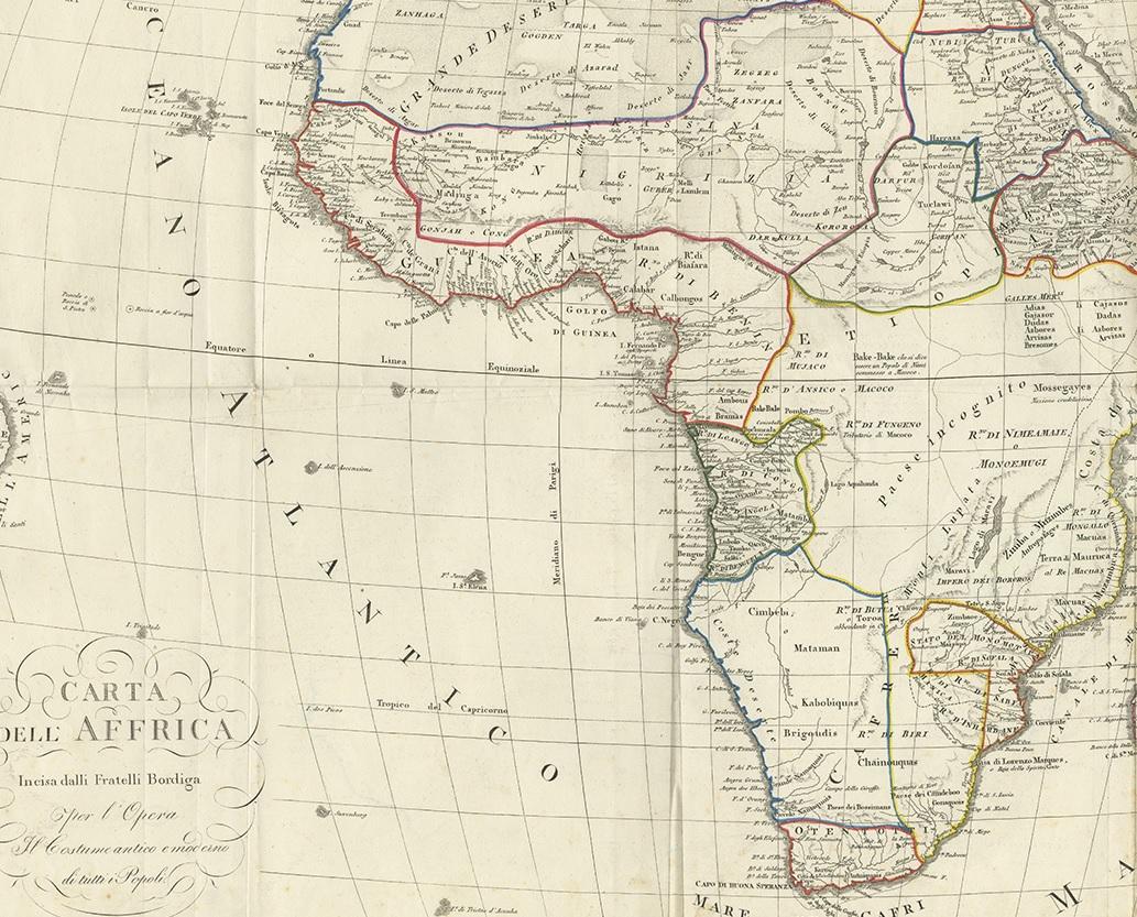
Antique map titled 'Carta dell Africa'. Large and quite scarce Italian map of Africa, reflecting the then-current knowledge of the continent's geography, with large areas left completely blank. Where known, the map gives good detail of the topography, rivers, lakes, and deserts, and locates numerous African tribes. Pencil notation on the reverse reads "Milano McCCXVIII." OCLC lists two examples of the map with date given as 1824, one dated 1837, and one dated 1814, but no listings for an 1818 issue.

More from Africa

Ask about this sheet

Antique Map of Africa by Bordiga Fratelli 'circa 1818'
1818 · Ref. BG-12177 · € 1 800
We reply by email, usually within one working day.