Maps & PrintsBartele Gallery · Langweer
Home / Antique Maps / Africa

Africa · 19th century

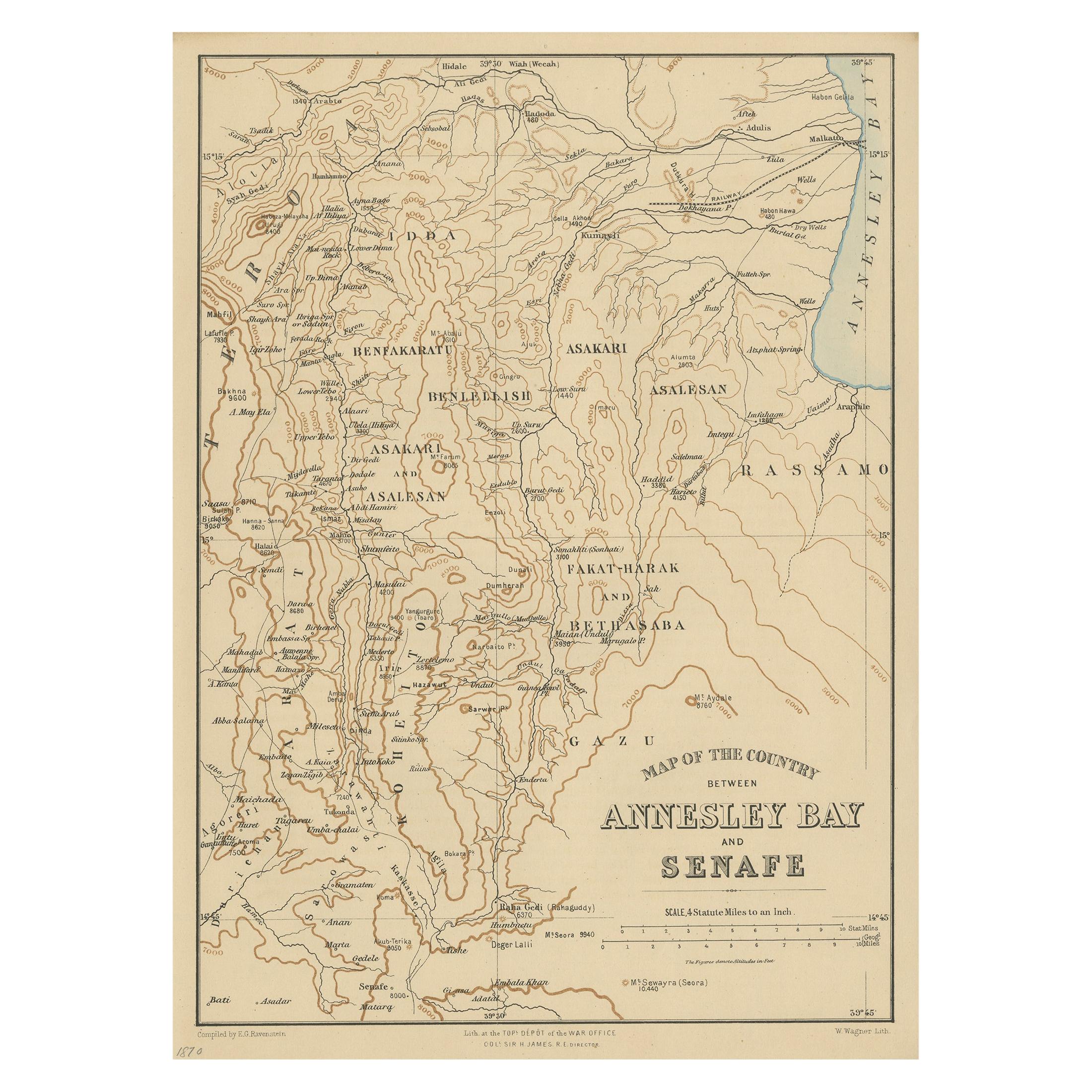
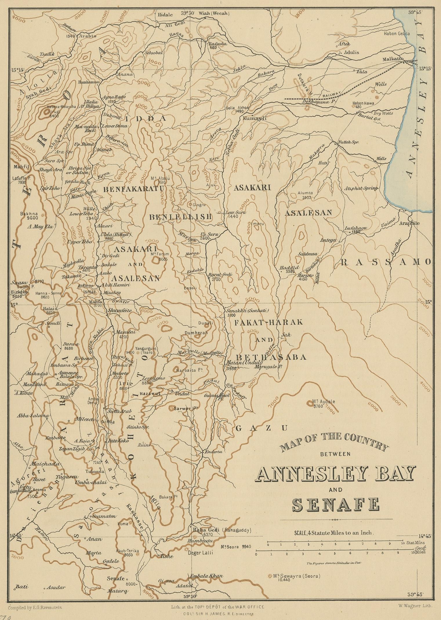
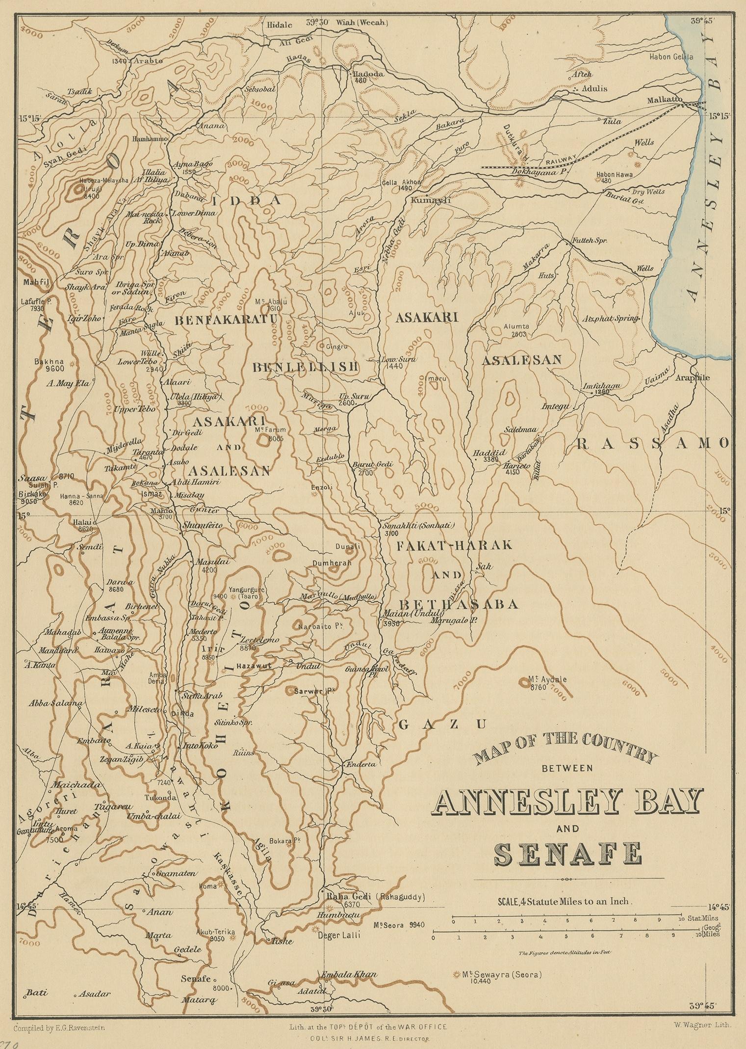
Antique Map of the region near Annesley Bay by Wagner, 1870

€ 160

One of a kind: this is the sheet in the photographs. Ships from Langweer, the Netherlands.

Date
1870
Sheet size
29.5 × 21.5 cm (11.6 × 8.5 in)
Condition
Good
Reference
JAK-865

Condition

General age-related toning, blank verso. Please study images carefully.
About this sheet

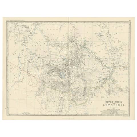
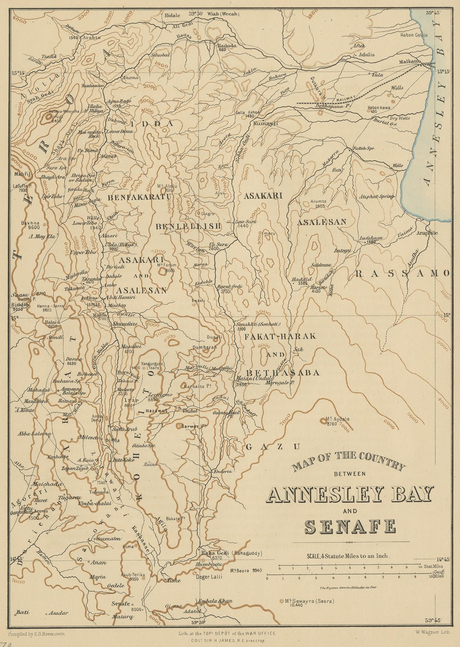
Antique print titled 'Map of the Country between Annesley Bay and Senafe'. Map of the region near Annesley Bay (Gulf of Zula, Bay of Arafali), Eritrea, Africa. The bay is located about 30 miles south of the modern day Eritrean city of Massawa. This print originates from 'Record of the Expedition to Abyssinia compiled by order of the Secretary of State for War' by Major Trevenen J. Holland ; & Captain Henry Hozier.

More from Africa

Ask about this sheet

Antique Map of the region near Annesley Bay by Wagner, 1870
1870 · Ref. JAK-865 · € 160
We reply by email, usually within one working day.