Maps & PrintsBartele Gallery · Langweer
Home / Antique Maps / Europe

Europe · 17th century

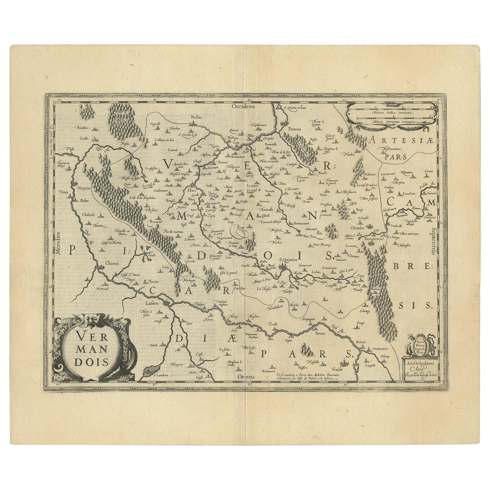
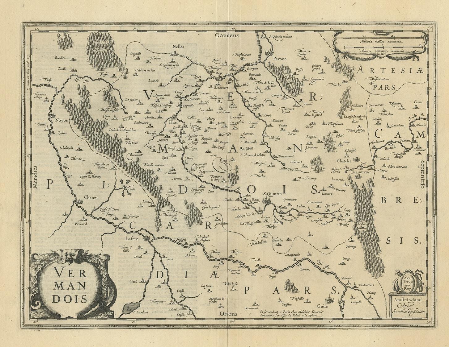
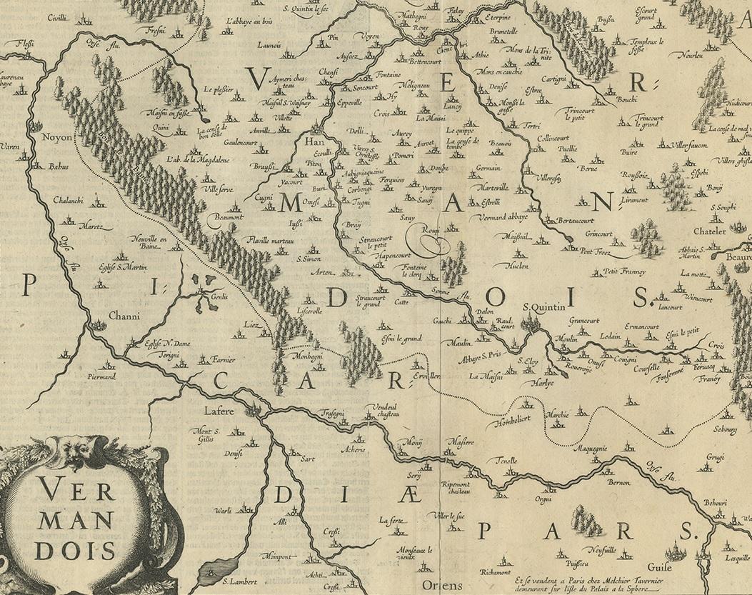
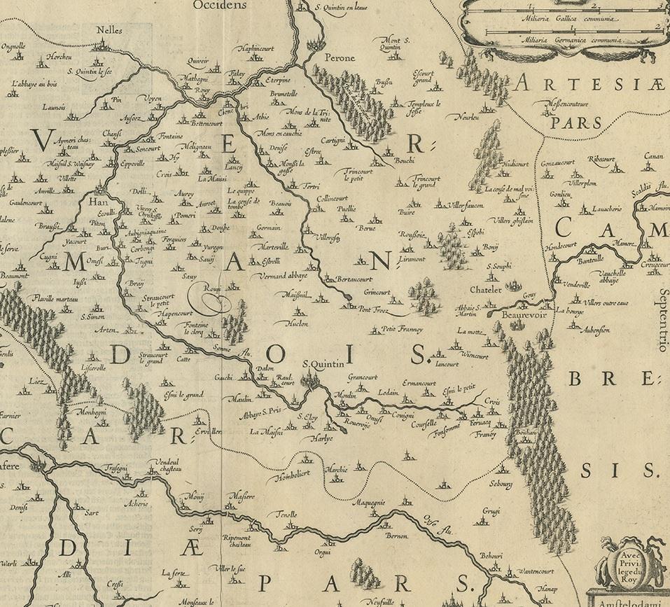
Antique Map of the Vermandois Region by Janssonius, circa 1650

€ 450

One of a kind: this is the sheet in the photographs. Ships from Langweer, the Netherlands.

Date
1650
Mapmaker / artist
Johannes Janssonius (Artist)
Sheet size
50 × 58.5 cm (19.7 × 23.0 in)
Condition
Good
Reference
BG-12390-42

Condition

General age-related toning, Dutch text on verso. Minor wear and creasing, please study images carefully.
About this sheet

Antique map titled 'Vermandois'. Old map of the Vermandois region, France. Vermandois was a French County that appeared in the Merovingian period. Its name derives from that of an ancient tribe, the Viromandui. In the 10th century, it was organised around two castellan domains: St Quentin (Aisne) and Péronne (Somme). In today's times, the Vermandois County would fall in the Picardy region of northern France. This map shows the cities of S. Quintin, Channi, Noyon, Perone, Lafere and others. Published by J. Janssonius, circa 1640.

More from Europe

Ask about this sheet

Antique Map of the Vermandois Region by Janssonius, circa 1650
1650 · Ref. BG-12390-42 · € 450
We reply by email, usually within one working day.