Maps & PrintsBartele Gallery · Langweer
Home / Antique Maps / World Maps

World Maps · 19th century

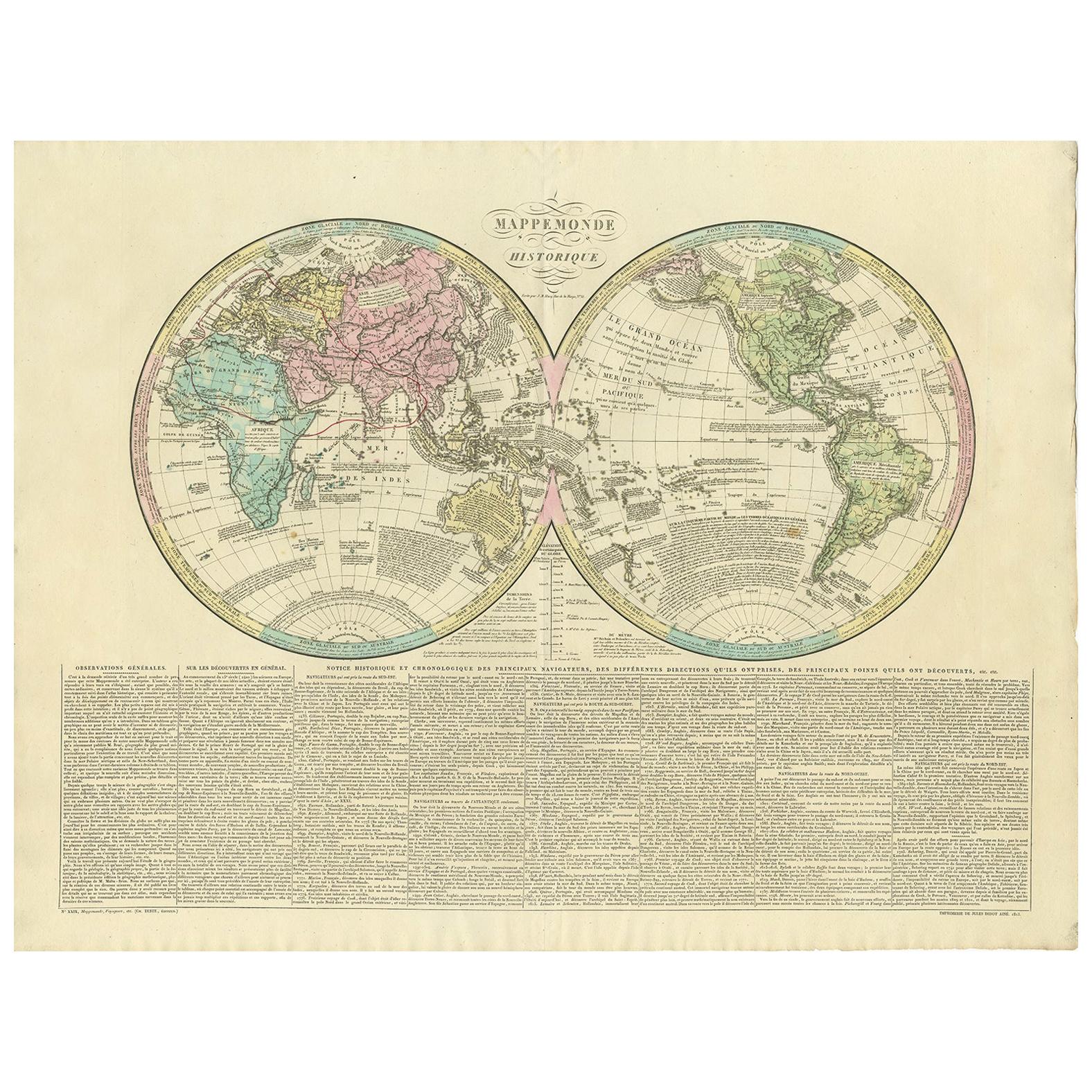
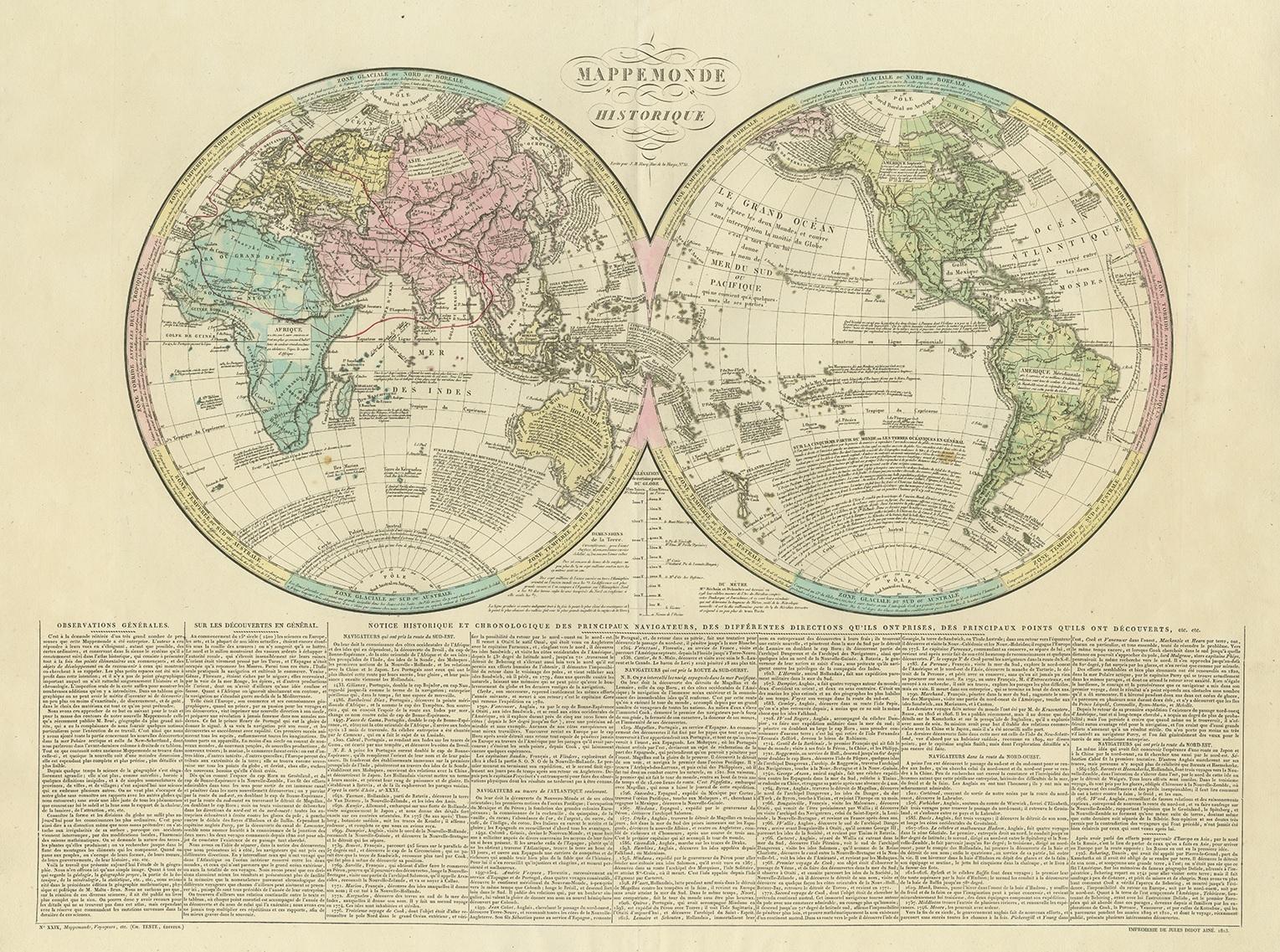
Antique World Map by Lesage, 1823

€ 300

One of a kind: this is the sheet in the photographs. Ships from Langweer, the Netherlands.

Date
1823
Sheet size
53.5 × 70 cm (21.1 × 27.6 in)
Condition
Good
Reference
BG-12289-13

Condition

Great condition, minor wear. Blank verso. Please study images carefully.
About this sheet

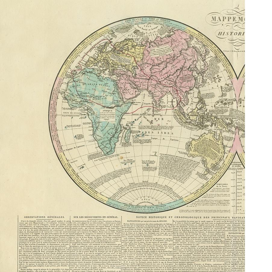
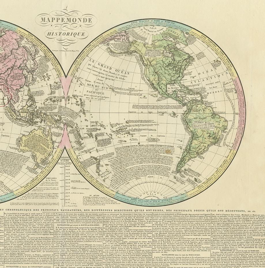
Antique world map titled 'Mappe Monde Historique'. The map depicts both the Eastern and Western Hemispheres, with the hemispheres meeting in the middle of the Pacific Ocean near the Solomon Islands. Features commentary on world affairs - including forms of government. This map originates from 'Atlas historique de Lesage' by Emmanuel-Augustin-Dieudonné-Joseph, comte de Las Cases (June 21, 1766 - May 15, 1842), a French historian and atlas maker. He published the atlas under the pseudonym A. Lesage.

More from World Maps

Ask about this sheet

Antique World Map by Lesage, 1823
1823 · Ref. BG-12289-13 · € 300
We reply by email, usually within one working day.