Maps & PrintsBartele Gallery · Langweer
Home / Antique Maps / Africa

Africa · 20th century

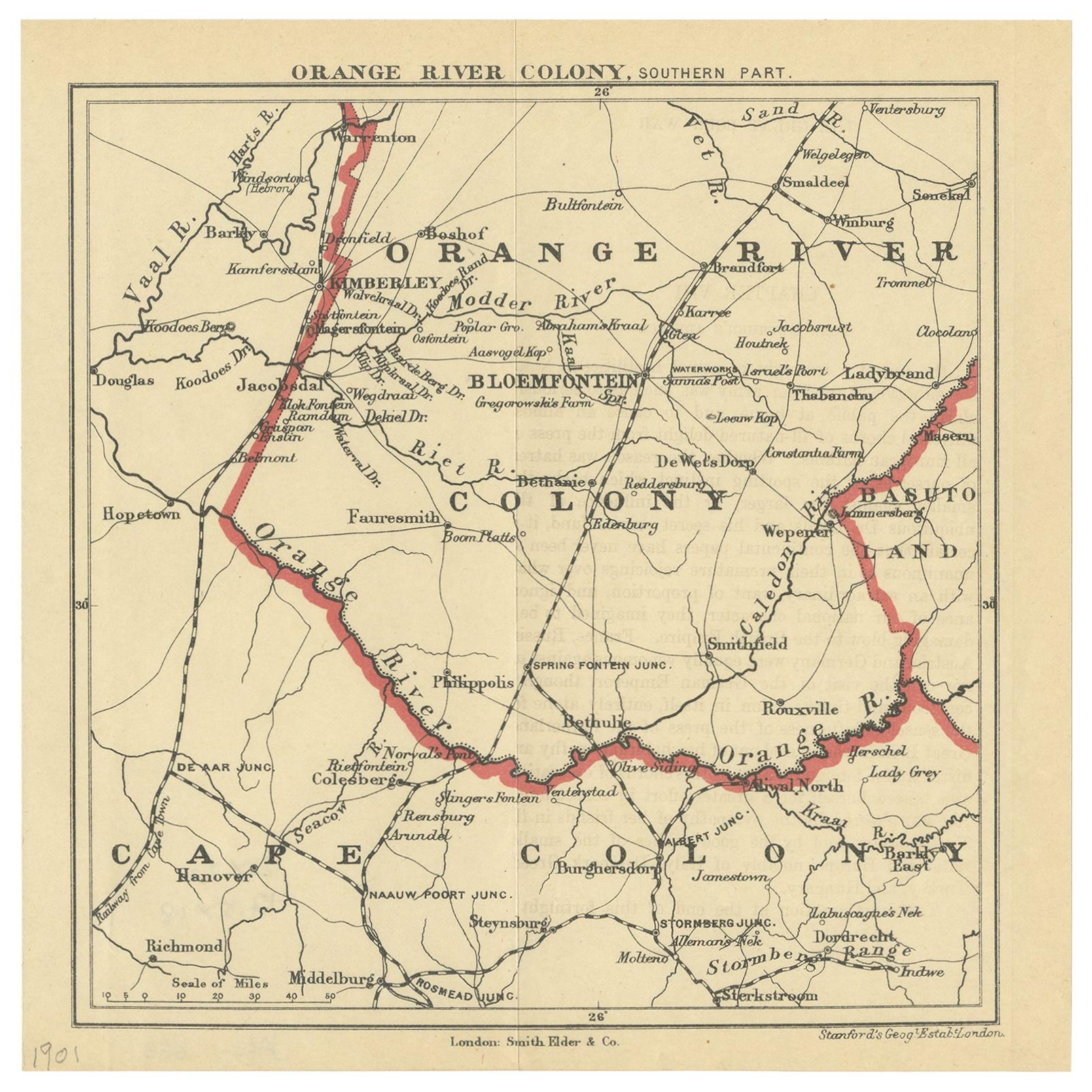
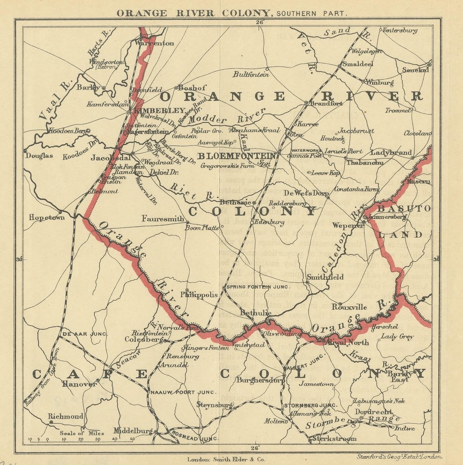
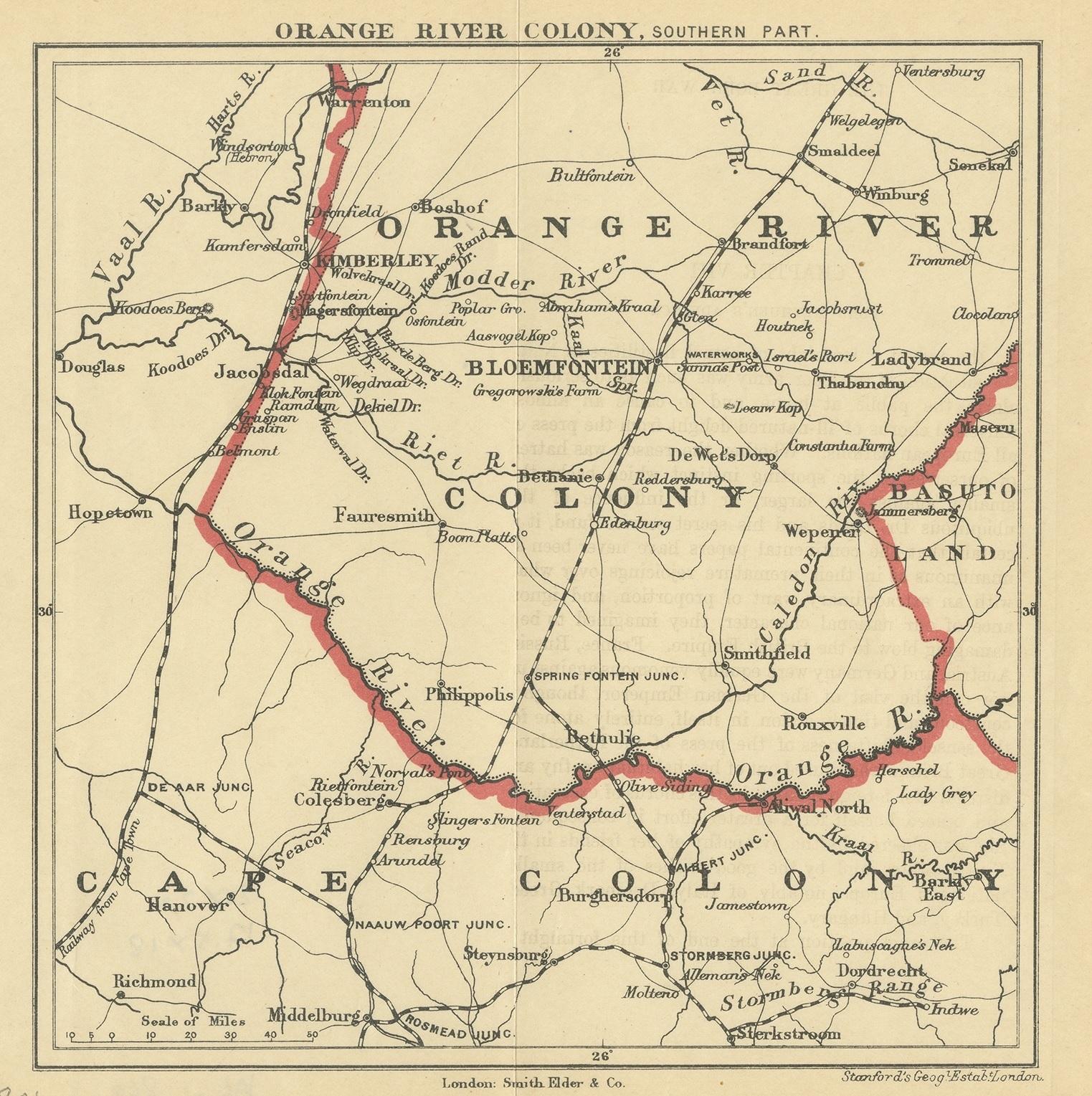
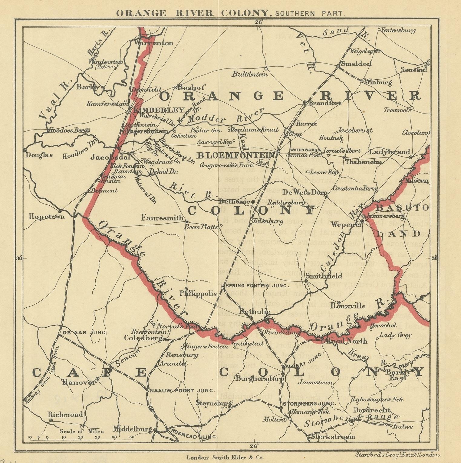
Antique Map of the Southern Part of the Orange River Colony by Stanford, 1901

€ 100

One of a kind: this is the sheet in the photographs. Ships from Langweer, the Netherlands.

Date
1901
Sheet size
20 × 20 cm (7.9 × 7.9 in)
Condition
Good
Reference
JAK-869

Condition

General age-related toning, original folding lines. Blank verso. Please study images carefully.
About this sheet

Antique map titled 'Orange River Colony, southernpart'. Lithograph of the southern part of the Orange River Colony, Africa. The Orange River Colony was the British colony created after Britain first occupied (1900) and then annexed (1902) the independent Orange Free State in the Second Boer War. The colony ceased to exist in 1910, when it was absorbed into the Union of South Africa as Orange Free State Province.

More from Africa

Ask about this sheet

Antique Map of the Southern Part of the Orange River Colony by Stanford, 1901
1901 · Ref. JAK-869 · € 100
We reply by email, usually within one working day.