Maps & PrintsBartele Gallery · Langweer
Home / Antique Maps / Europe / Western Europe / Germany

Germany · 18th century

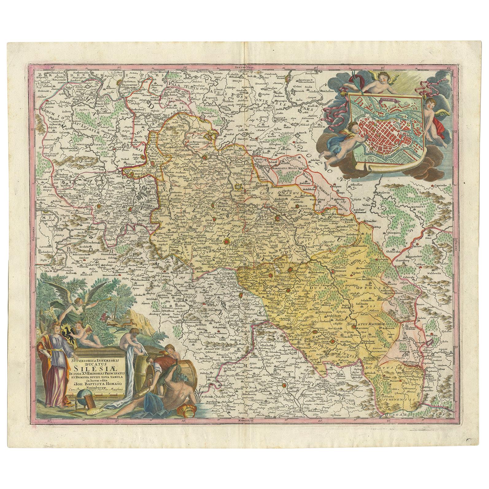
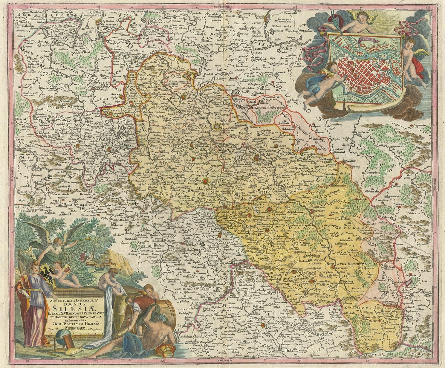
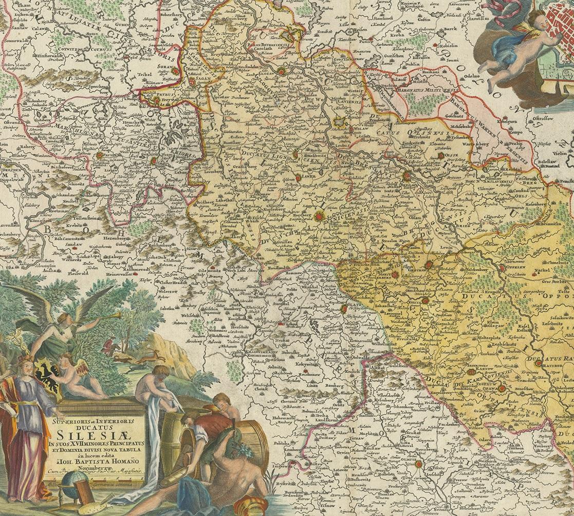
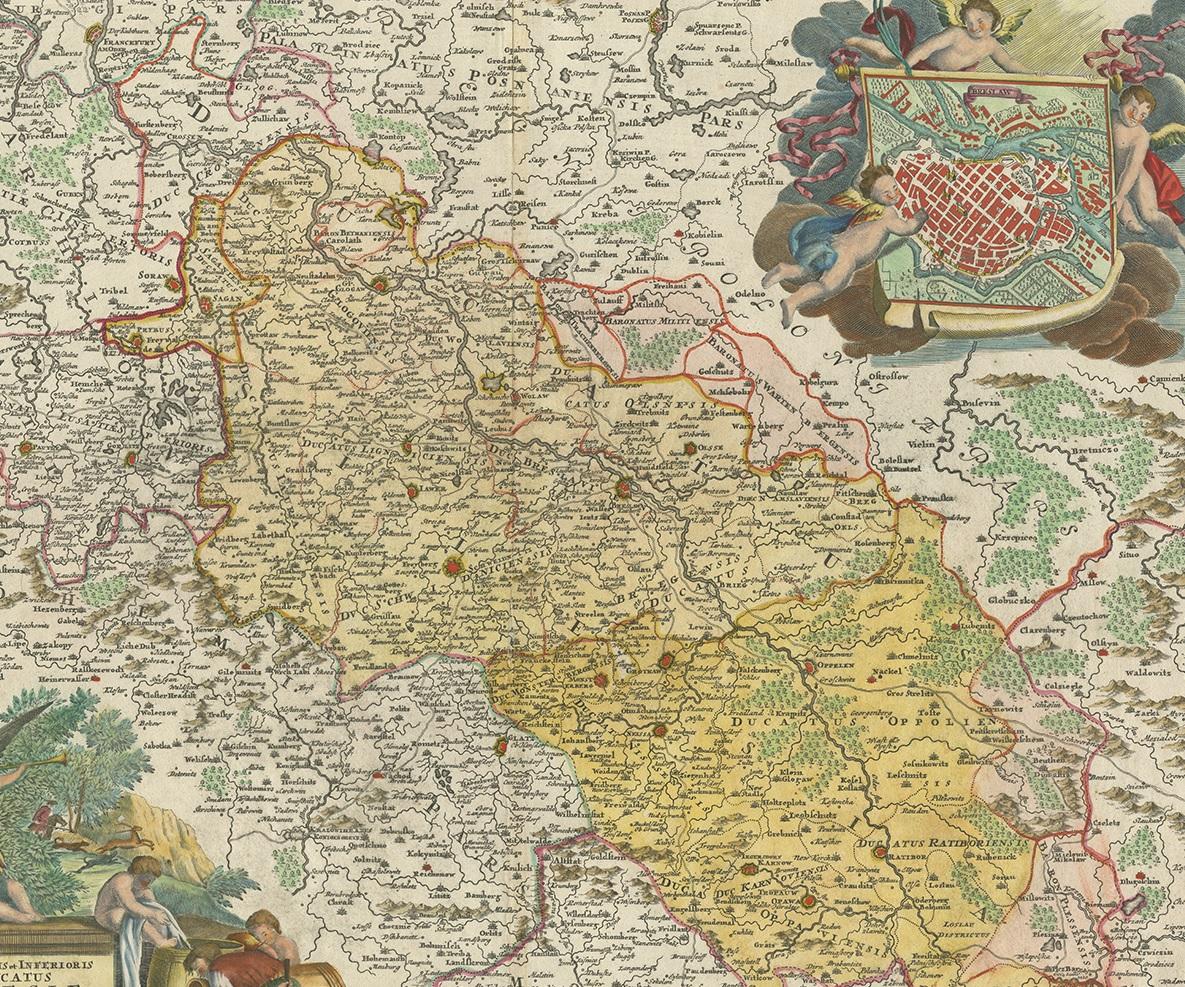
Antique Map of Silesia, Southwest Poland and a City View of Wroclaw, c 1720

€ 880

One of a kind: this is the sheet in the photographs. Ships from Langweer, the Netherlands.

Date
1720
Mapmaker / artist
Johann Baptist Homann (Artist)
Sheet size
55 × 63 cm (21.7 × 24.8 in)
Condition
Good
Reference
BG-12424-2

Condition

Beautiful coloring, minor wear and age-related toning. Blank verso, please study images carefully.
About this sheet

Antique map titled 'Superioris et Inferioris ducatus Silesiae (..)'.

Detailed map of Silesia by Johann Baptist Homann. Shows the Southwestern part of Poland between Frankfurt Oder in the northwest, over Krosno Odrzanskie, Glogów, Freiberg, Brzeg, Racibórz and Opava in the southeast. With a beautiful title cartouche and a great city view of Wroclaw, titled Breslaw, to the upper right.

More from Germany

Ask about this sheet

Antique Map of Silesia, Southwest Poland and a City View of Wroclaw, c 1720
1720 · Ref. BG-12424-2 · € 880
We reply by email, usually within one working day.