Maps & PrintsBartele Gallery · Langweer
Home / Antique Maps / Europe

Europe · 19th century

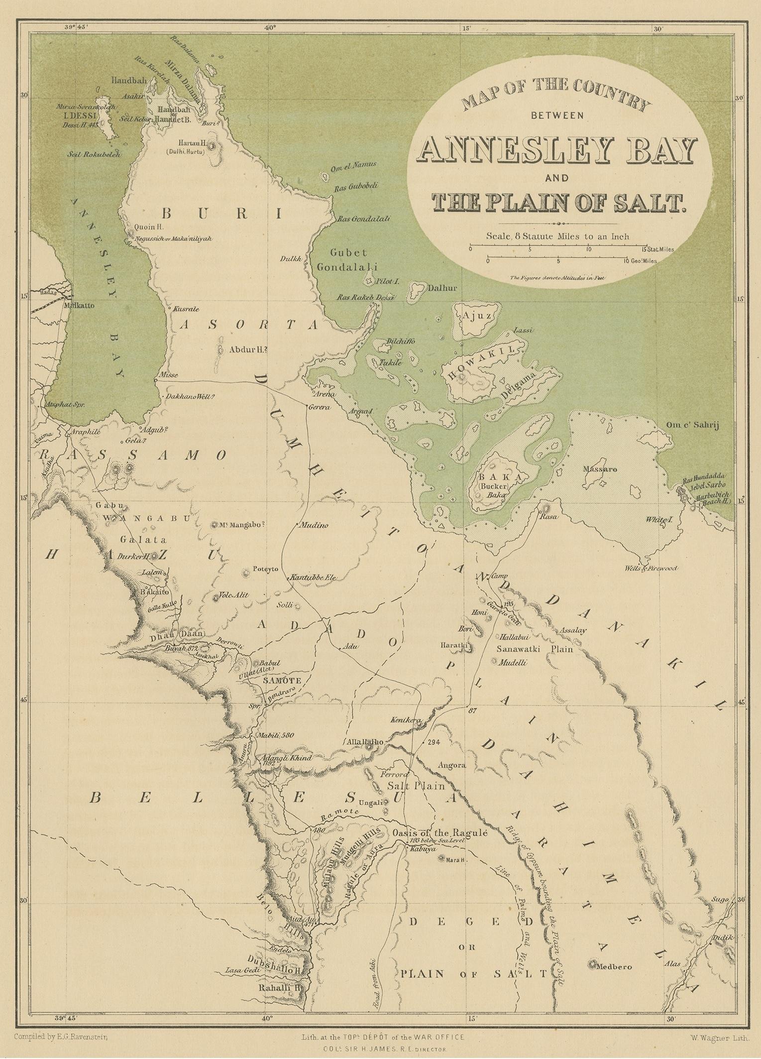
Antique Map of the Region Near the Gulf of Zula, 1870

€ 120

One of a kind: this is the sheet in the photographs. Ships from Langweer, the Netherlands.

Date
1870
Sheet size
29 × 21 cm (11.4 × 8.3 in)
Condition
Good
Reference
JAK-866

Condition

General age-related toning, blank verso. Please study images carefully.

About this sheet

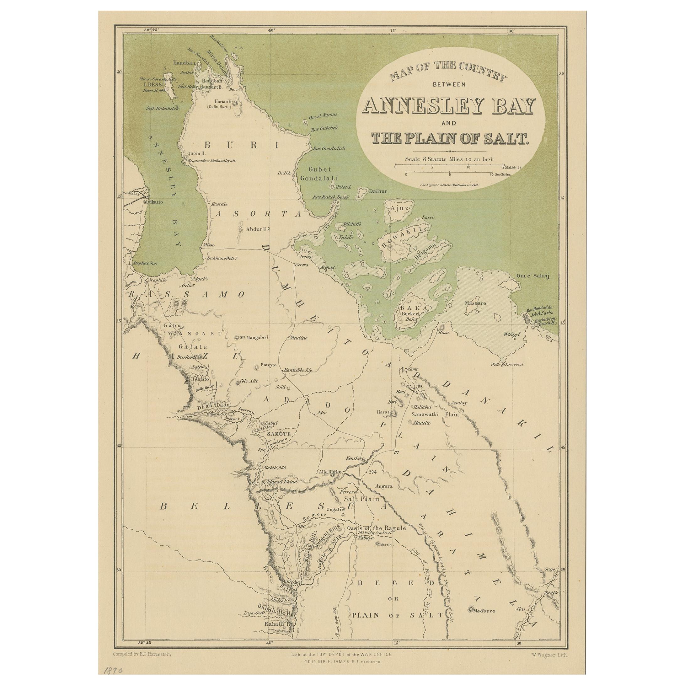
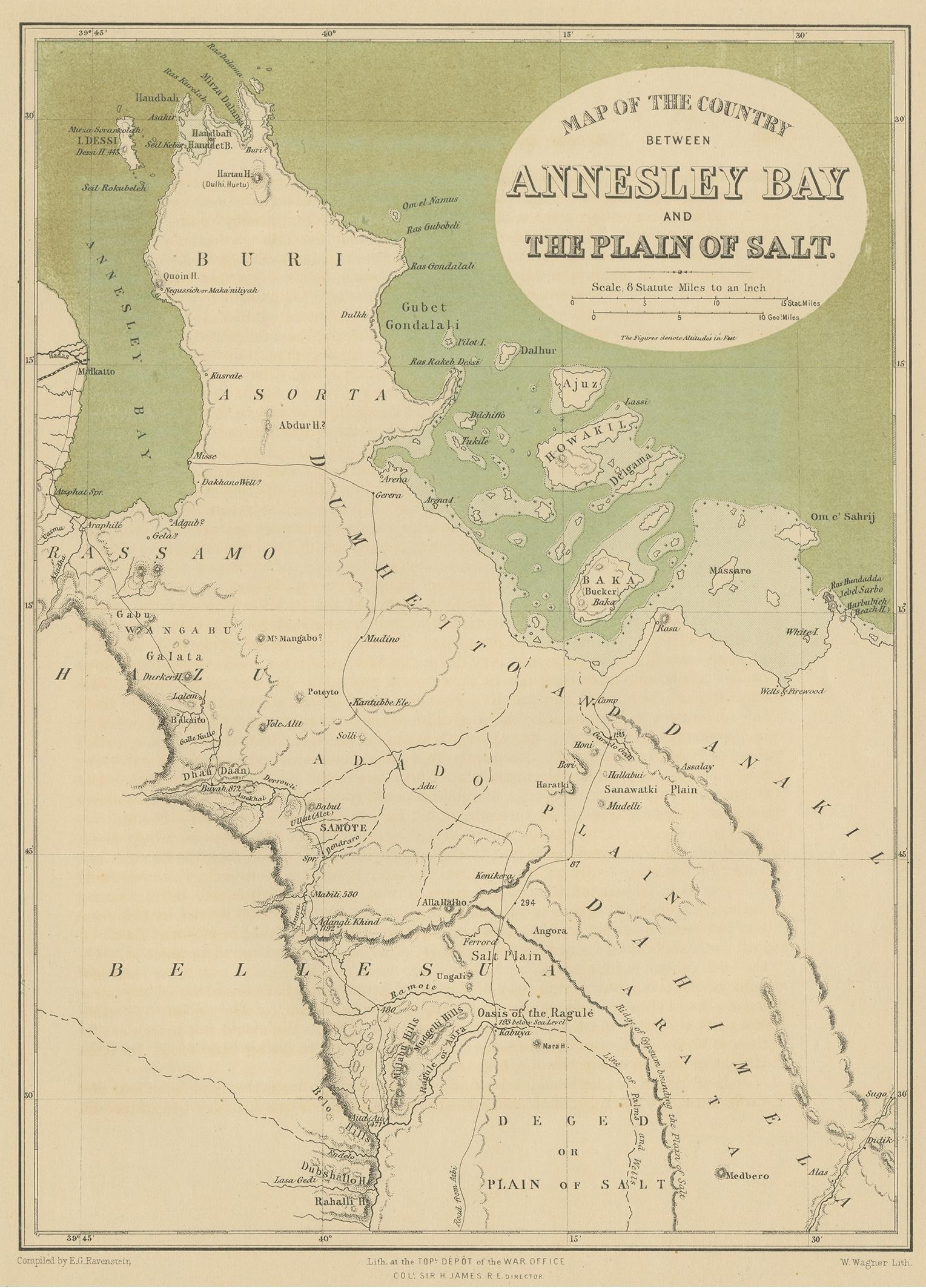
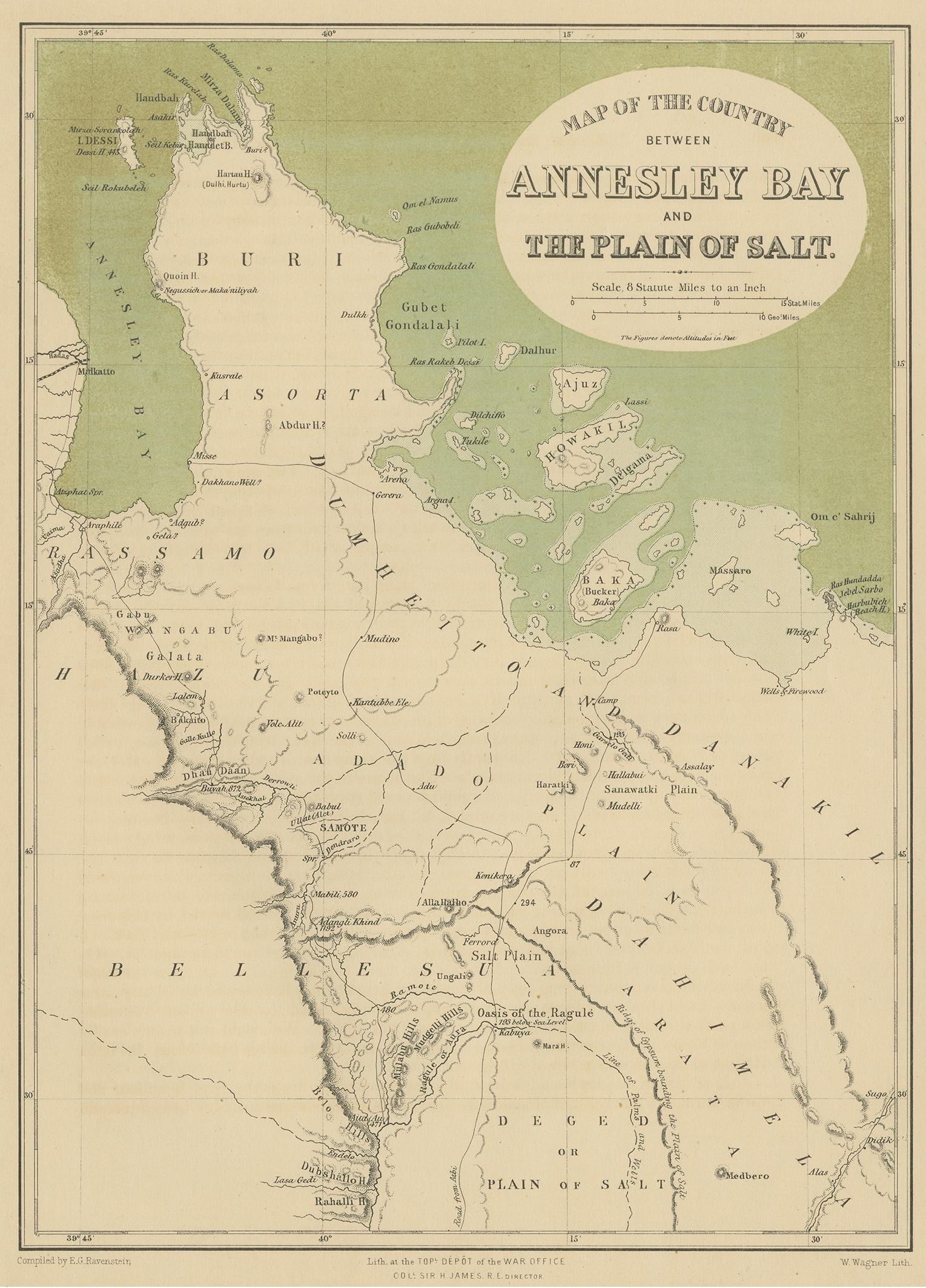
Antique map titled 'Map of the Country between Annesley Bay and the Plain of Salt'. Lithographed map of the region near the Gulf of Zula, also known as Annesley Bay, Baia di Arafali or Zula Bahir Selat’e, is a body of water on the Eritrean coastline on the Red Sea. Lithographed by Wagner.

More from Europe

Ask about this sheet

Antique Map of the Region Near the Gulf of Zula, 1870
1870 · Ref. JAK-866 · € 120
We reply by email, usually within one working day.