Europe as a Whole · 19th century
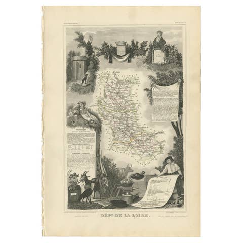
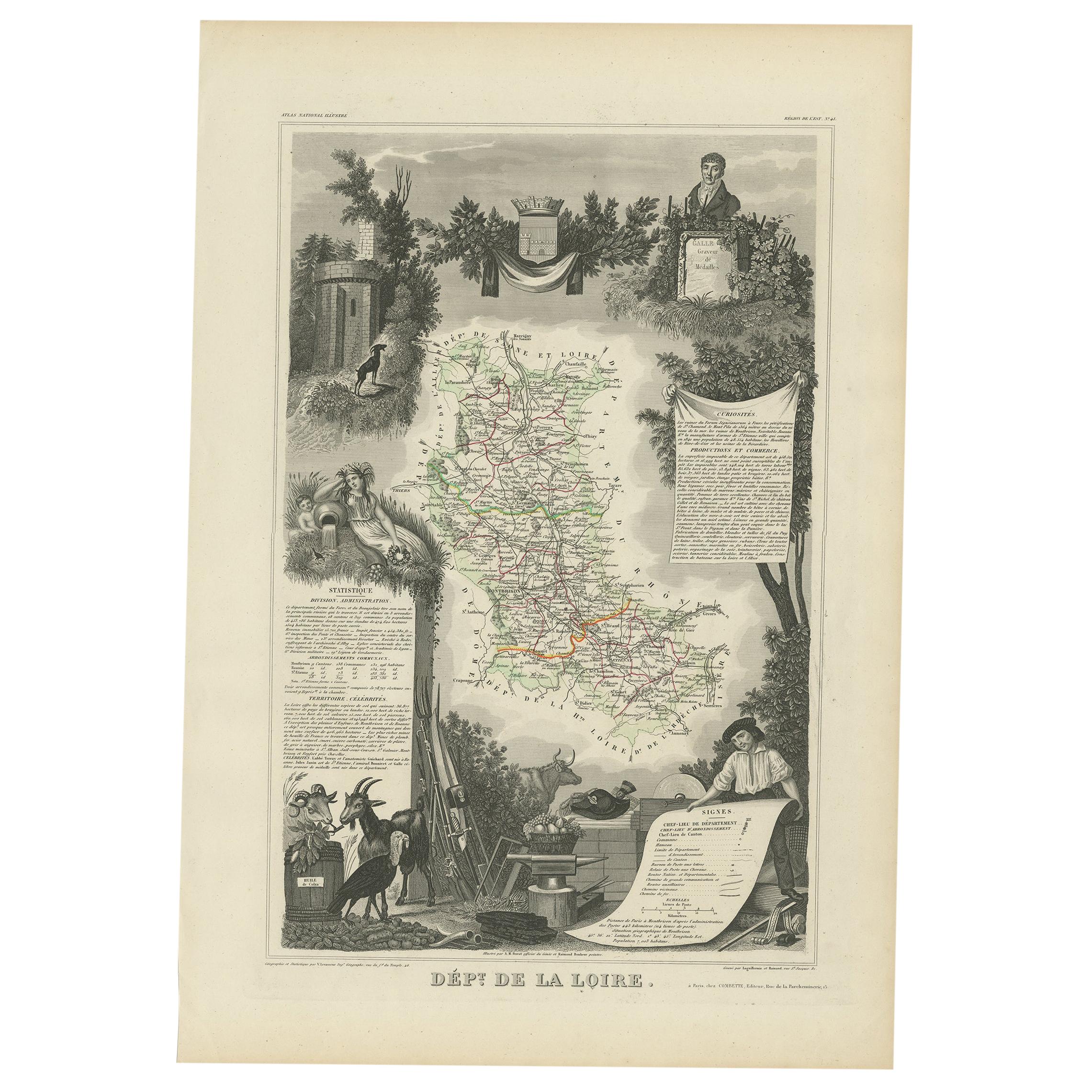
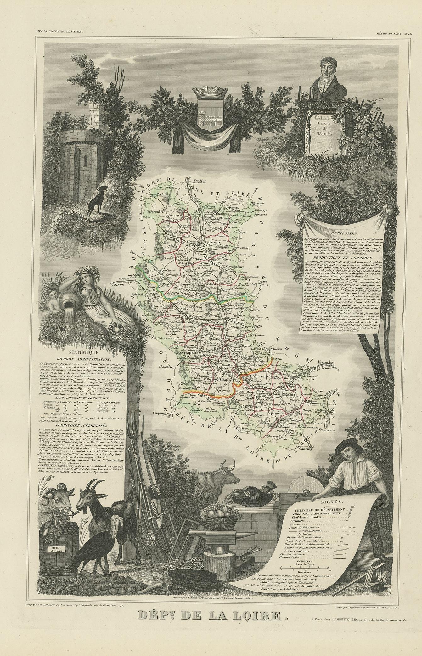
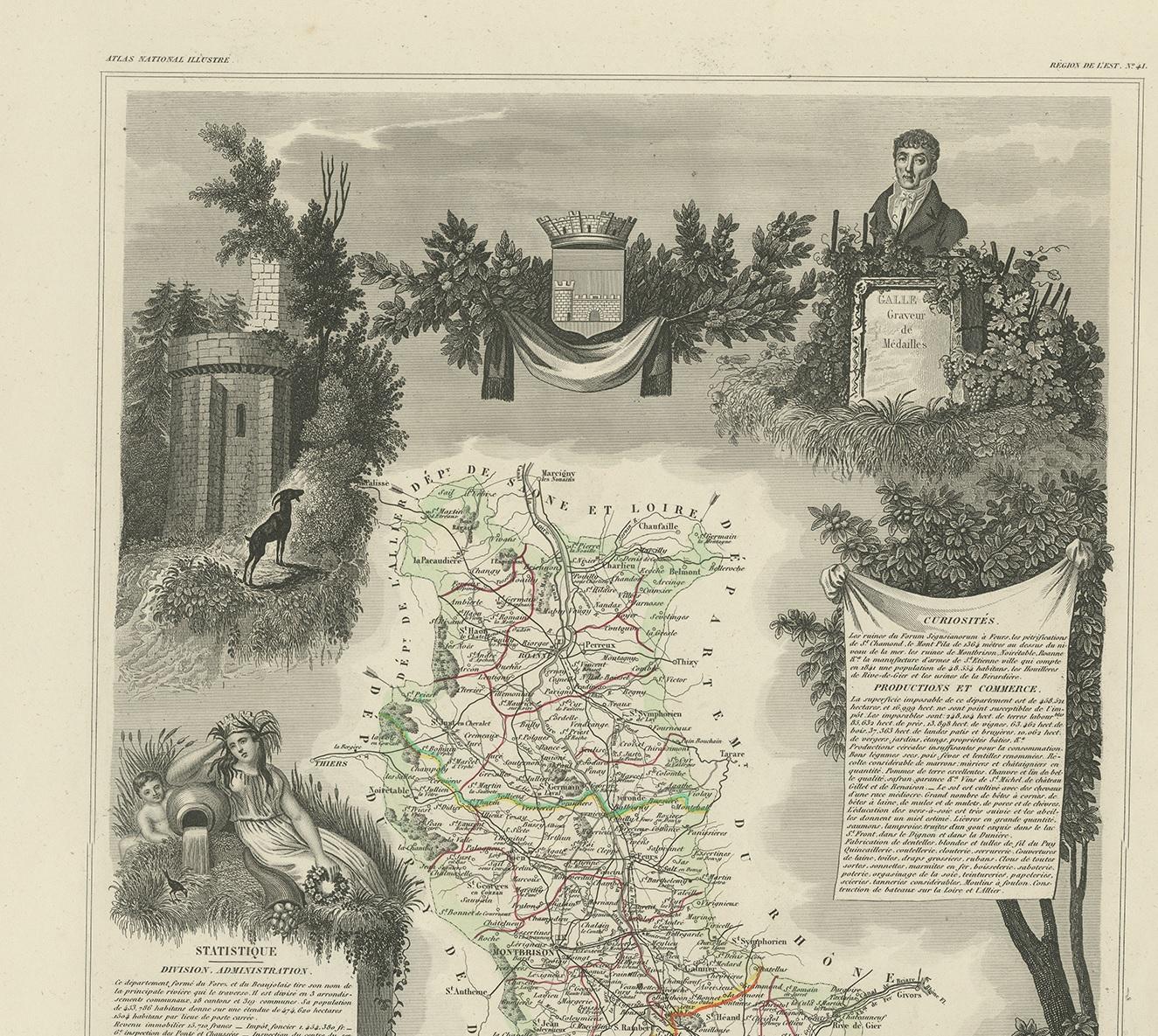
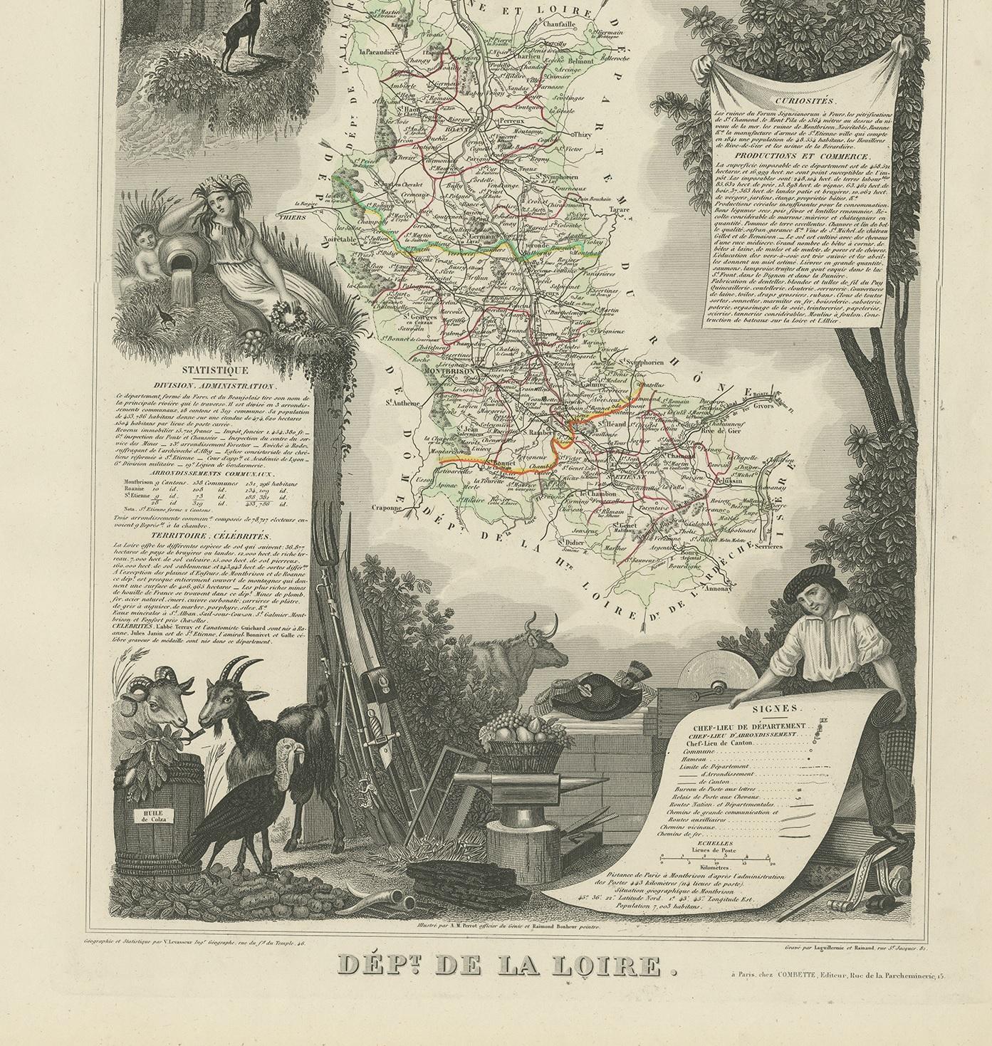
Antique Map of Loire ‘France’ by V. Levasseur, 1854
€ 150
One of a kind: this is the sheet in the photographs. Ships from Langweer, the Netherlands.
- Date
- 1854
- Sheet size
- 53.5 × 36.5 cm (21.1 × 14.4 in)
- Condition
- Good
- Reference
- BG-12418-15
Condition
General age-related toning. Minor wear, blank verso. Please study image carefully.