About this sheet
Antique Map of Prussia – Blaeu “Prussiae Nova Tabula”, c.1635
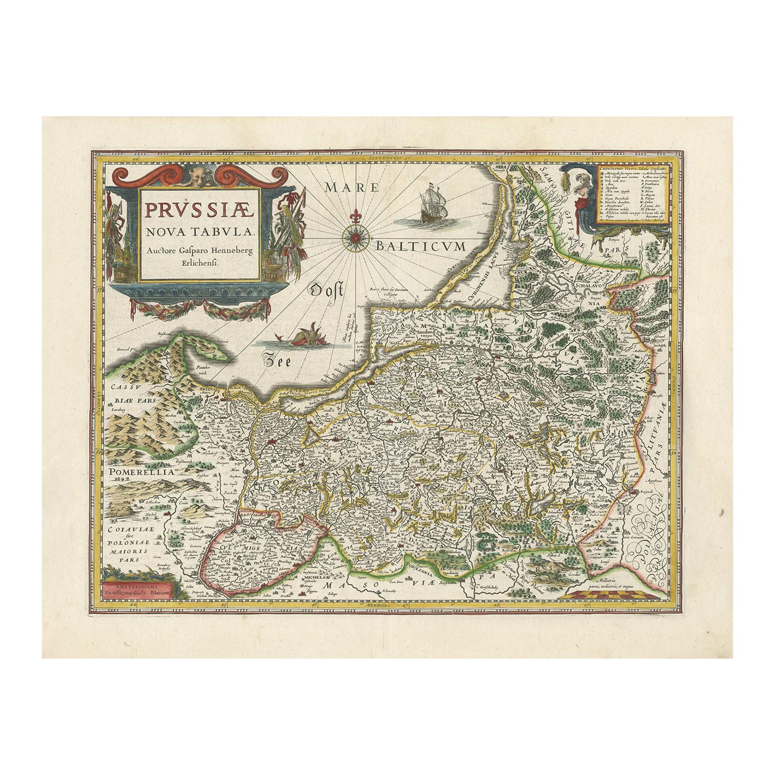
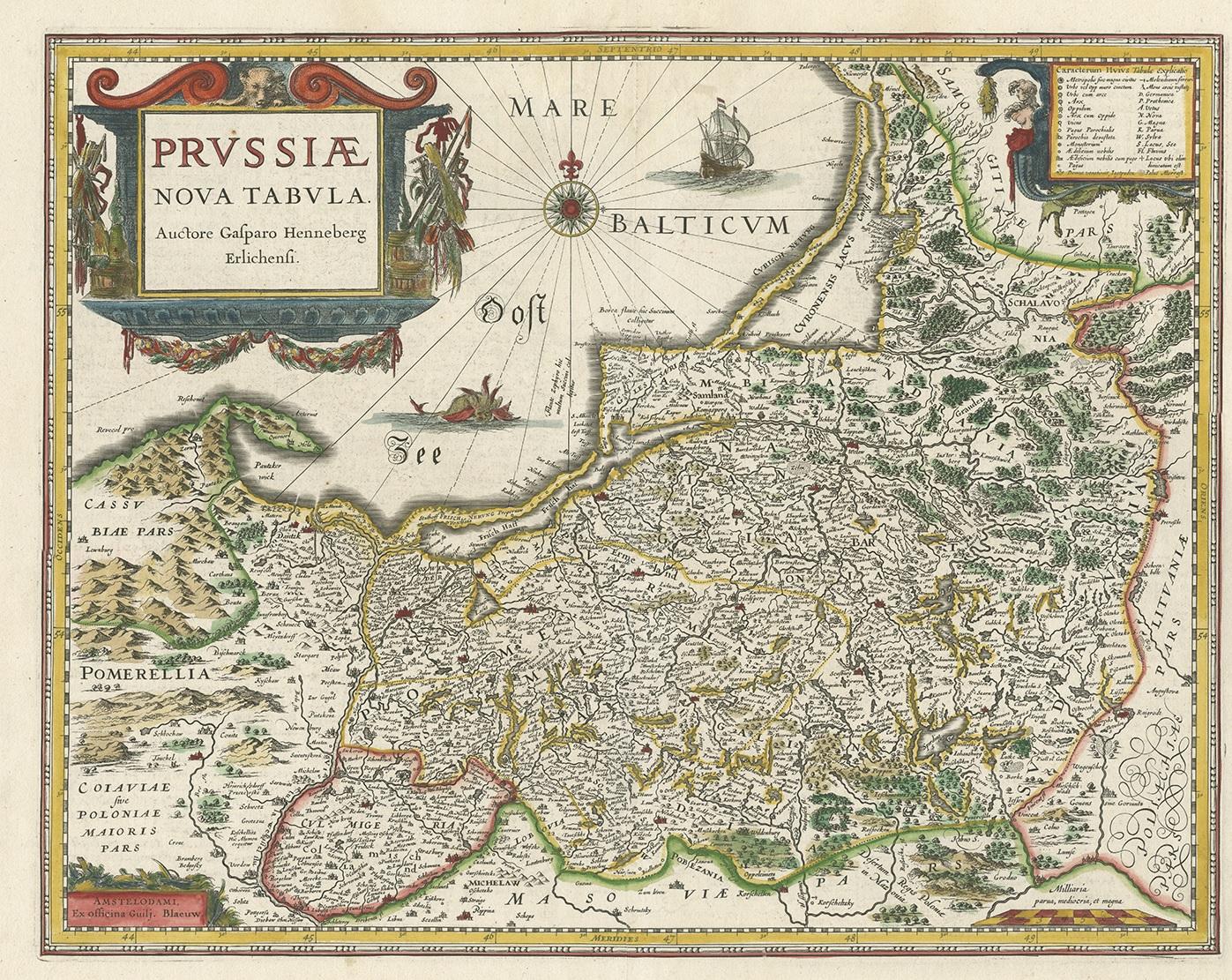
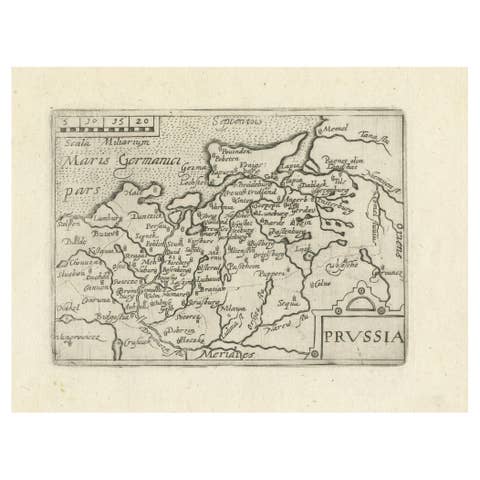
Original antique engraved map titled “Prussiae Nova Tabula,” depicting the historic region of Prussia along the southeastern coast of the Baltic Sea. This is a rare early edition of the celebrated Prussia map by Willem Janszoon Blaeu, issued around 1635 and among the most decorative and authoritative representations of the region produced in the seventeenth century.
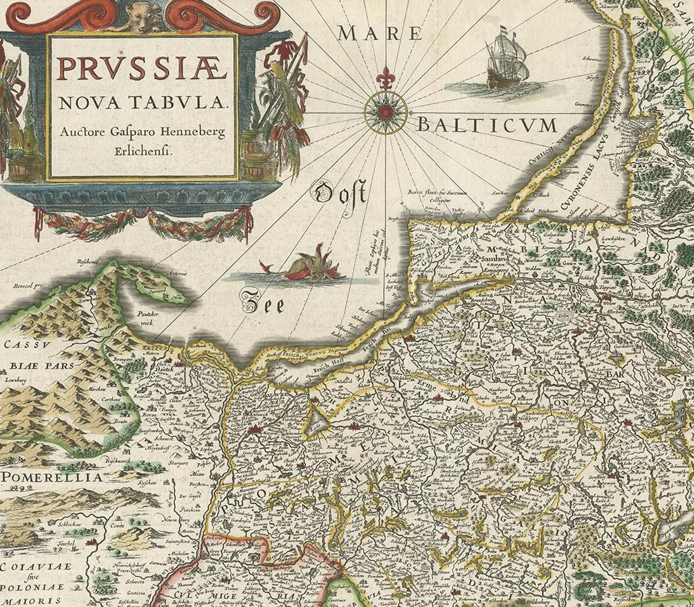
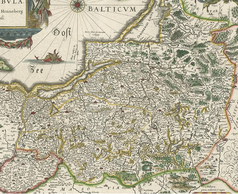
The map covers Prussia proper together with adjoining territories, showing an exceptionally dense network of towns, rivers, forests, and roads. Mountain ranges are rendered in the characteristic Blaeu style, while political boundaries are carefully distinguished in original hand color. The Baltic coastline is prominently displayed, with maritime orientation reinforced by a large compass rose radiating across the sea.
Visually, the map is enriched by a magnificent ornamental cartouche bearing the title, flanked by allegorical figures, as well as a finely engraved sailing ship and a dramatic sea monster in the Baltic. These elements reflect the high point of Dutch Golden Age cartography, when geographic precision was combined with artistic splendor to create maps intended both for study and for display.
Prussia emerged as a significant political entity in 1525 with the establishment of the Duchy of Prussia and would later develop into one of the most influential states in Central and Northern Europe. Blaeu’s map captures the region at a formative stage in its history, making it an important document for understanding the territorial foundations of later German and Baltic political developments.
“Prussiae Nova Tabula” was engraved after earlier work by Caspar Henneberg and refined by Blaeu, whose editions are prized for their clarity, accuracy, and superior engraving. Maps from Blaeu’s workshop represent the pinnacle of seventeenth-century atlas production and are highly sought after by collectors.
A superb and historically important map, combining decorative appeal with cartographic authority, ideal for collectors of early European maps, German and Baltic history, and Dutch Golden Age cartography, as well as for refined interior display.
Condition
Good original condition with light age-related toning and minor handling wear consistent with seventeenth-century engraved maps. Original hand coloring. Central fold as issued. No later restoration observed.
Framing tips
This richly decorative map frames exceptionally well in a dark walnut or ebonized frame with a wide ivory or soft off-white mat. Museum glass is recommended to protect the original hand coloring and fine engraved detail.
Technique: Engraving with original hand color
Maker: Willem Janszoon Blaeu, Amsterdam, circa 1635