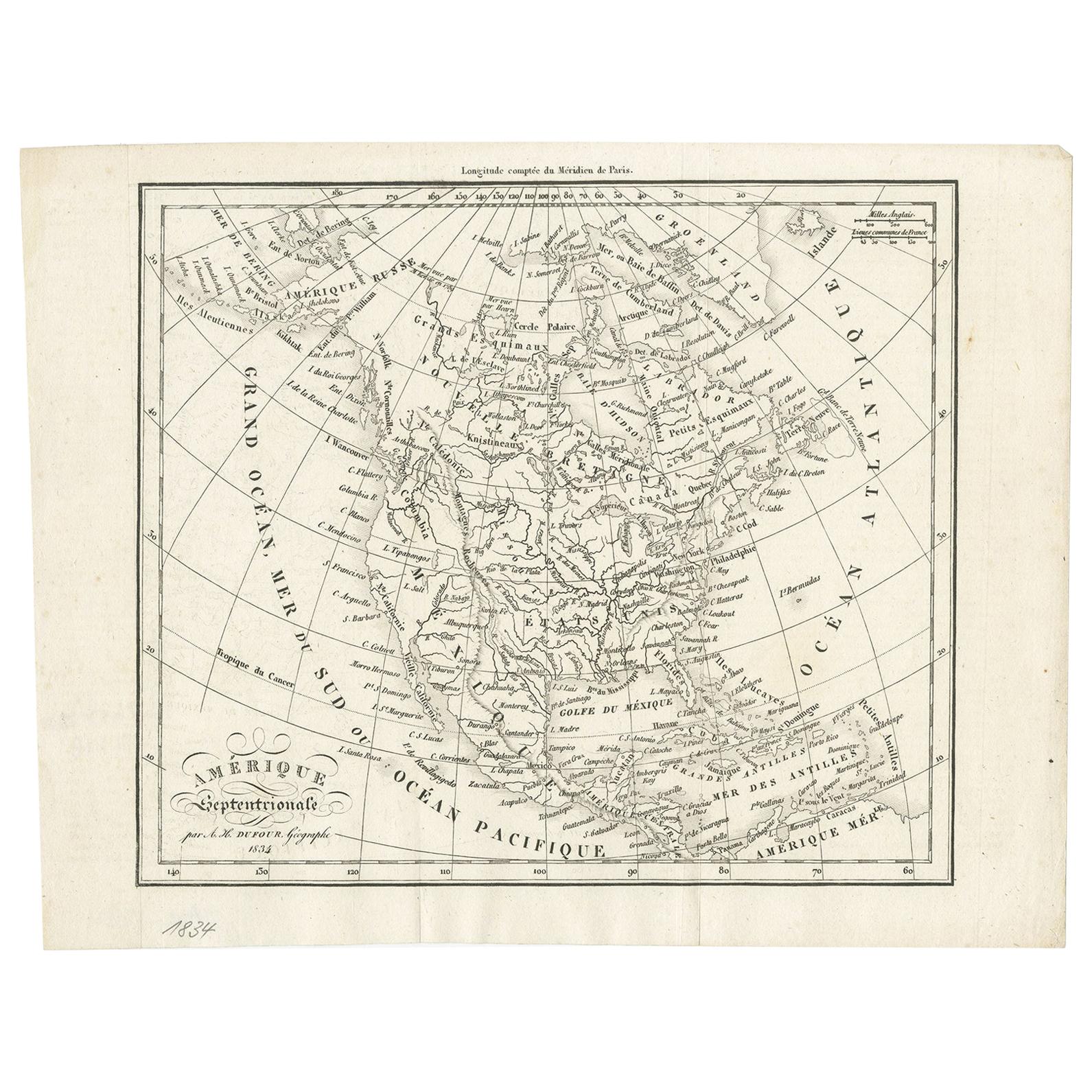
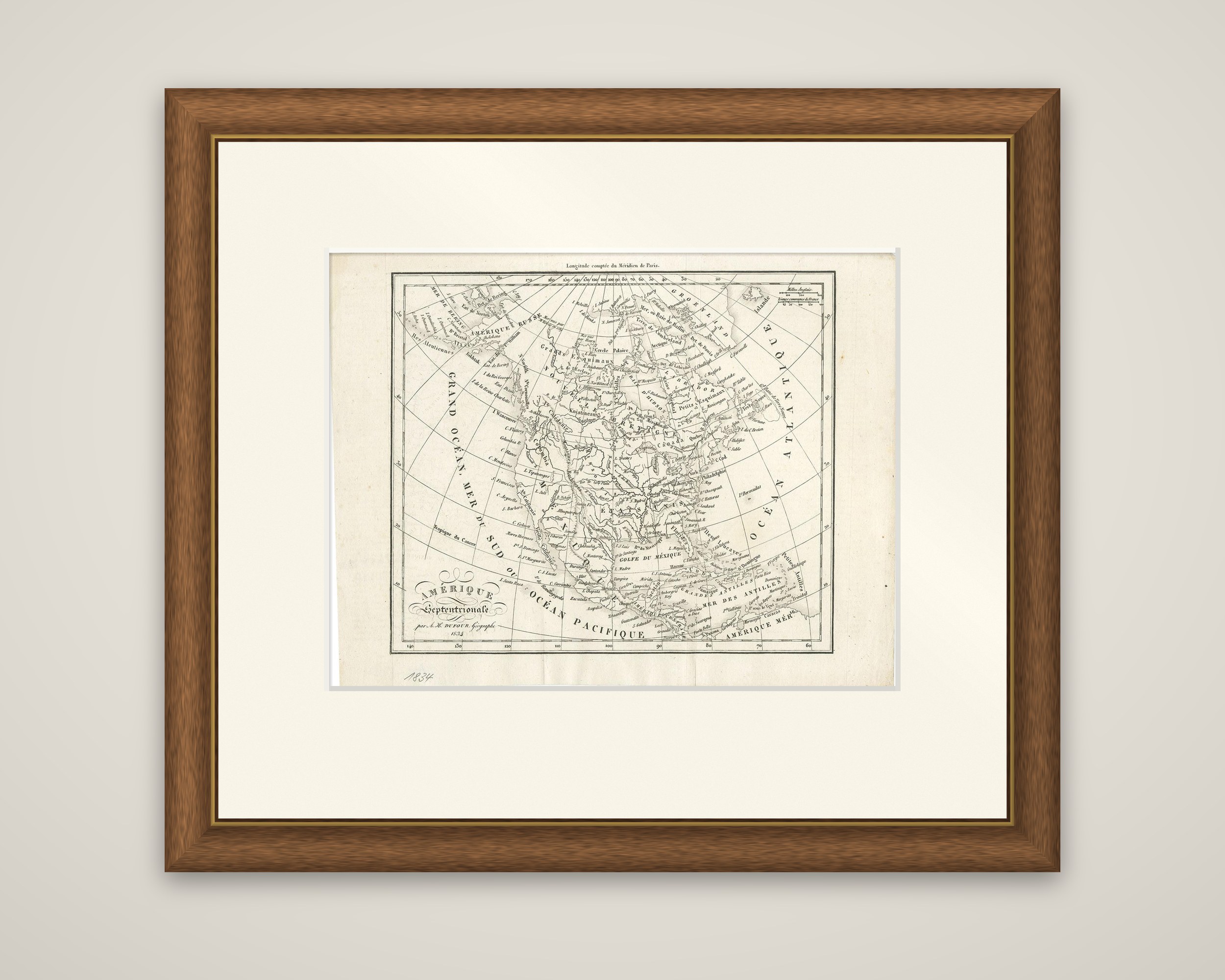
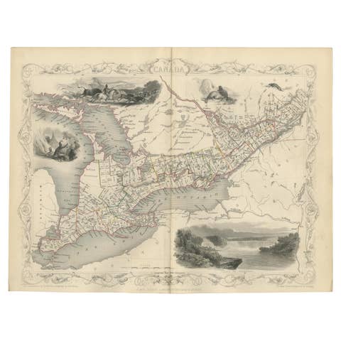
Antique Map of North America by Dufour 'circa 1834'
€ 200
Original antique · The actual sheet photographed · Certificate of authenticity on request · Sold unframed · Worldwide shipping from € 15 (rates)
Date
1834
Sheet size
20.5 × 26.5 cm (8.1 × 10.4 in)
Condition
Good
Reference
JAK-1254
What the condition grades mean
Excellent
Bright and clean, with no faults worth mentioning.
Very good
Only light signs of age, such as faint toning.
Good
Normal signs of age for a sheet of this period: toning, some foxing, small marks or neat old repairs.
Fair
Clear faults such as staining, tears or repairs, priced to match.
Every fault we see is written in the condition note, and the whole sheet is shown uncropped in the photos.
Condition
General age-related toning, original folding lines. Blank verso. Please review the images for further condition details.
About this sheet
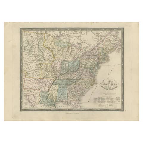
North America, an original engraved map titled "Amerique Septentrionale" and signed "par A. H. Dufour, Geographe, 1834" in the title block at the lower left. The sheet is printed in black without color, and the date has been added in pencil below the border.
The map shows the whole continent on a projection with curved meridians, with the longitude counted from the Paris meridian along the top. Alaska appears as "Amerique Russe" at the upper left and Greenland at the upper right, with the Arctic coasts drawn broadly. The interior carries the names of the United States, Mexico and the British lands, with the Great Lakes, the Mississippi and the Gulf of Mexico clearly drawn, and the West Indies, lettered "Mer des Antilles", at the lower right. The seas are named in large spaced capitals: "Grand Ocean" or "Mer du Sud ou Ocean Pacifique" on the west and "Ocean Atlantique" on the east. A small scale of miles stands at the upper right, and the title is set in a script block at the lower left.