About this sheet
Antique Biblical Map of the Holy Land – Janssonius Abraham Isaac Jacob, c. 1650
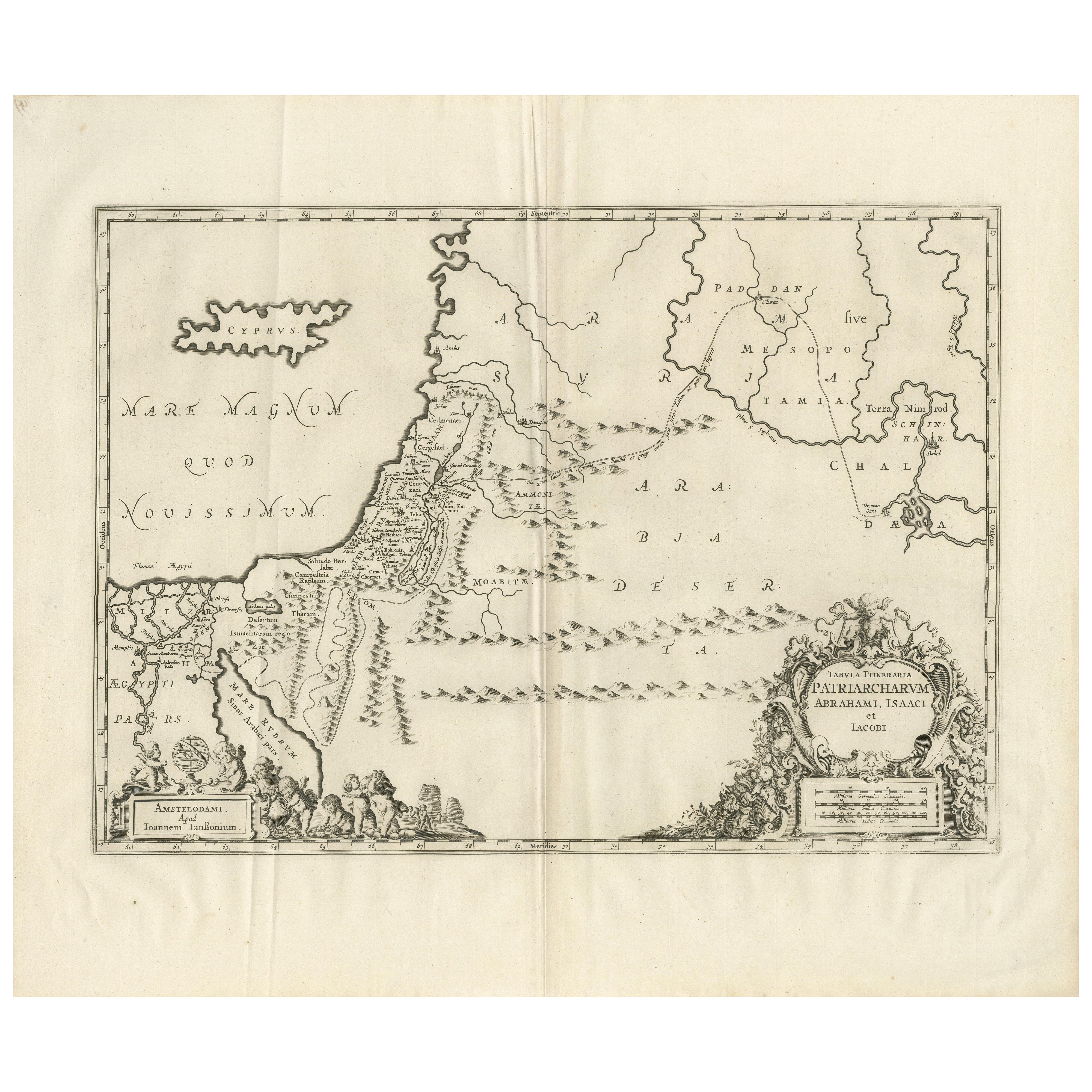
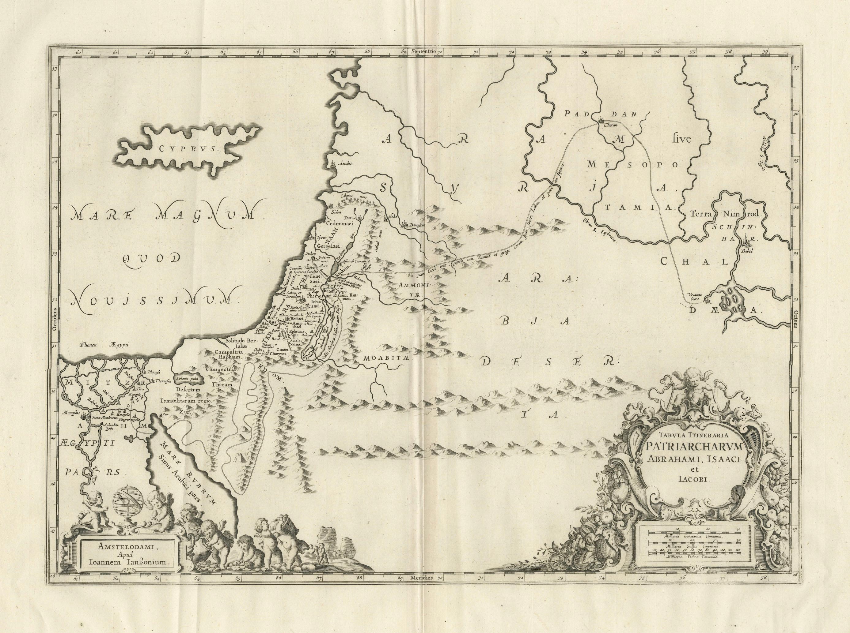
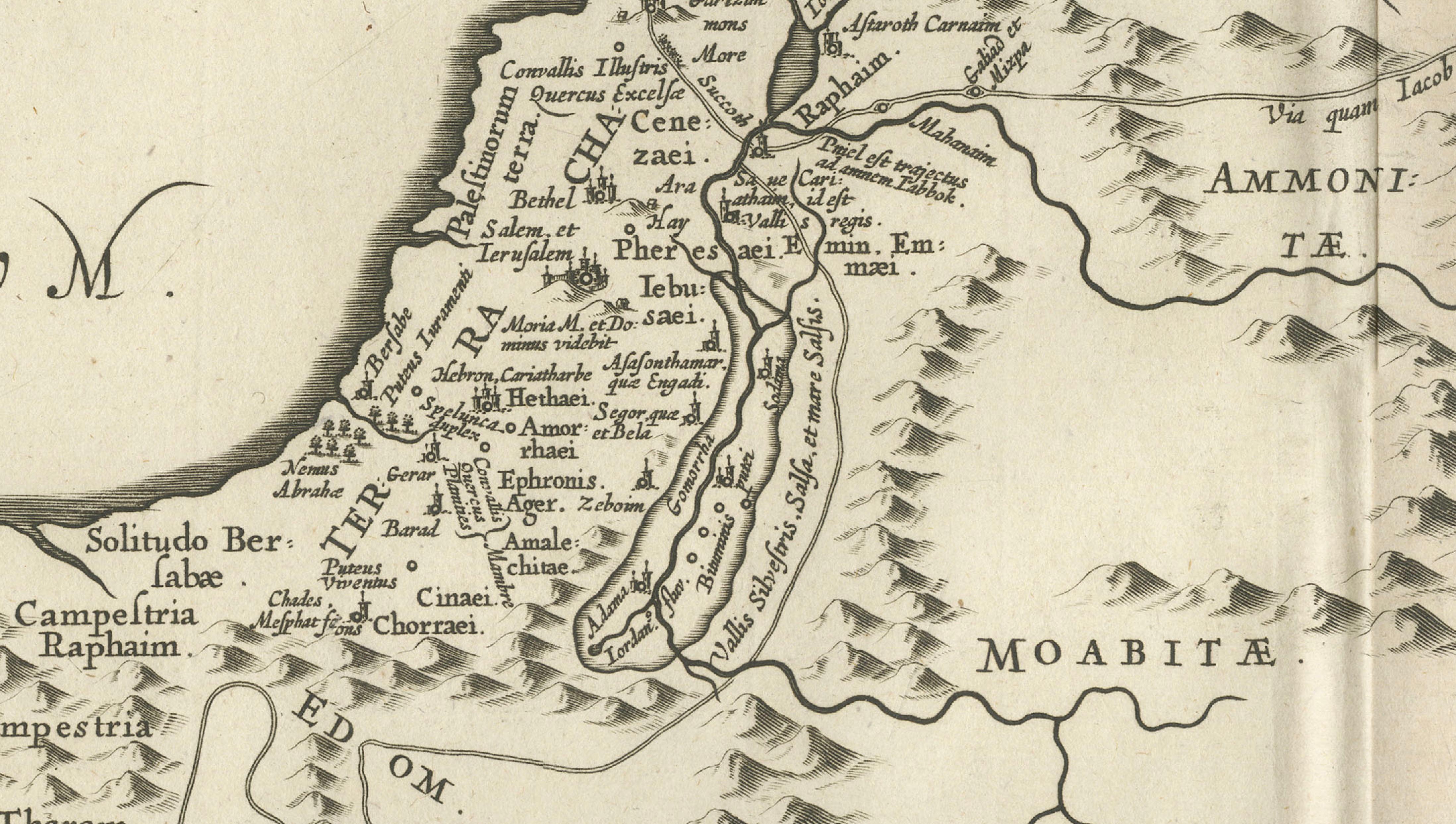
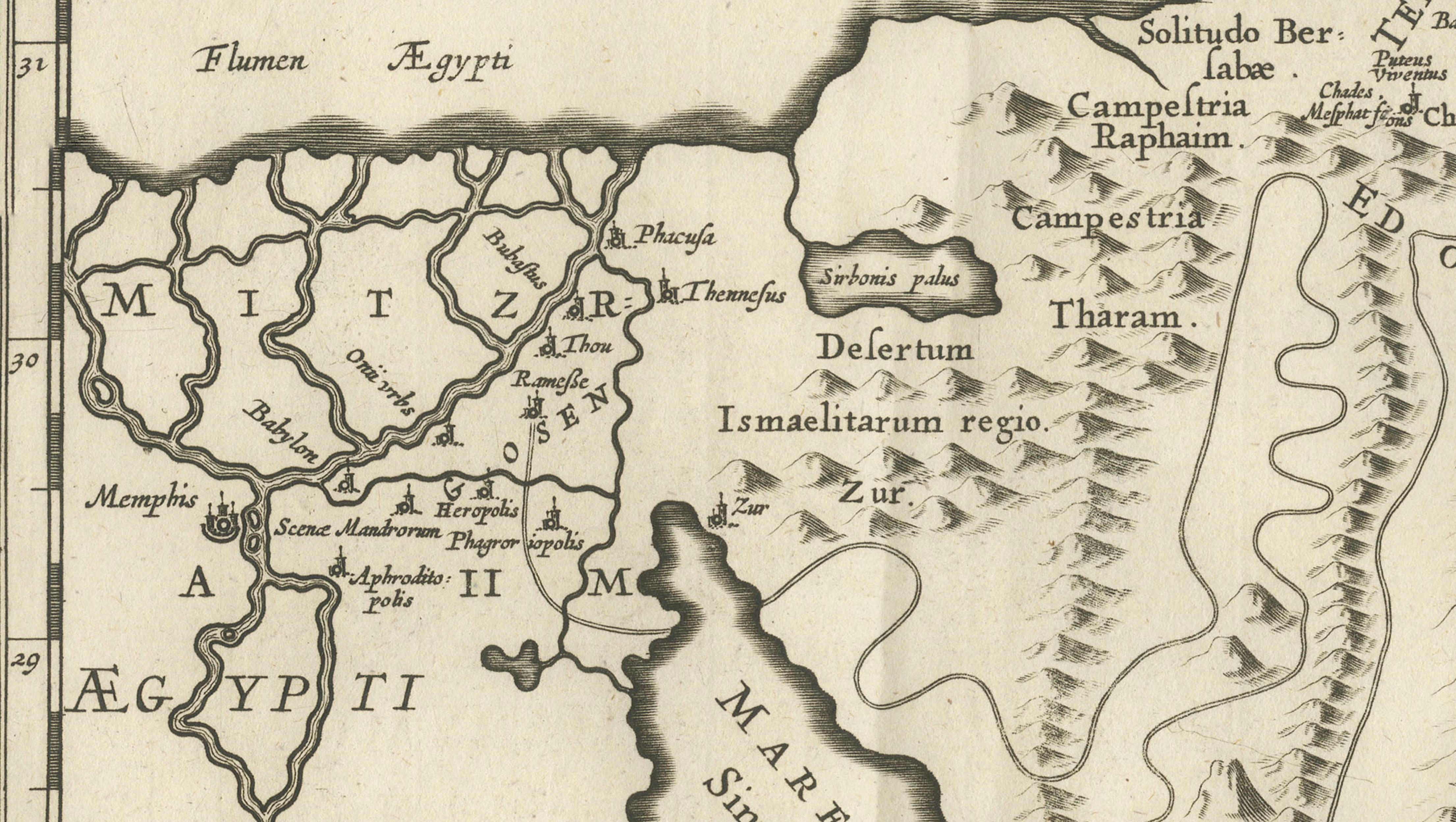
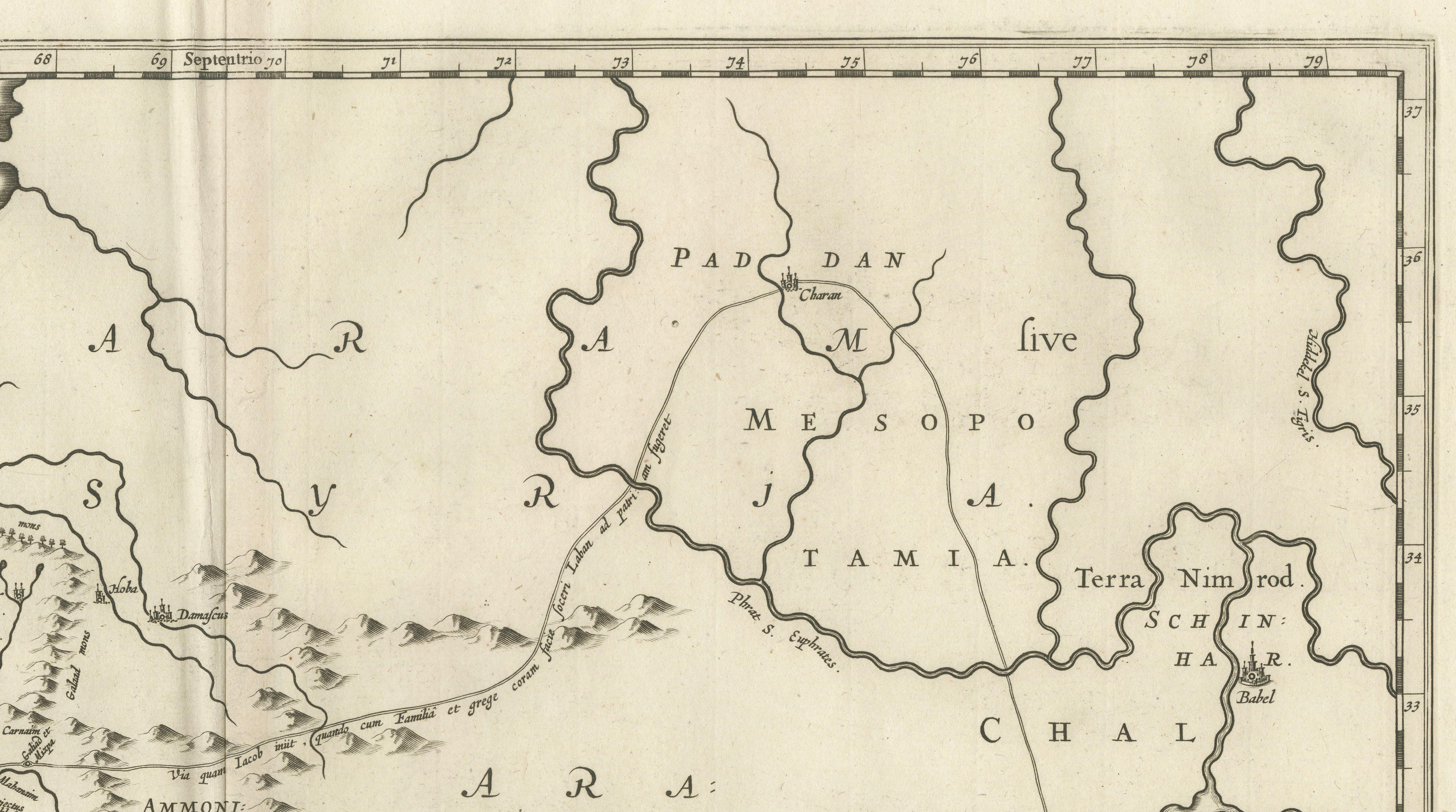
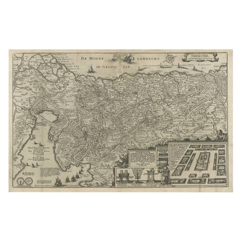
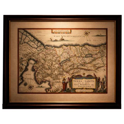
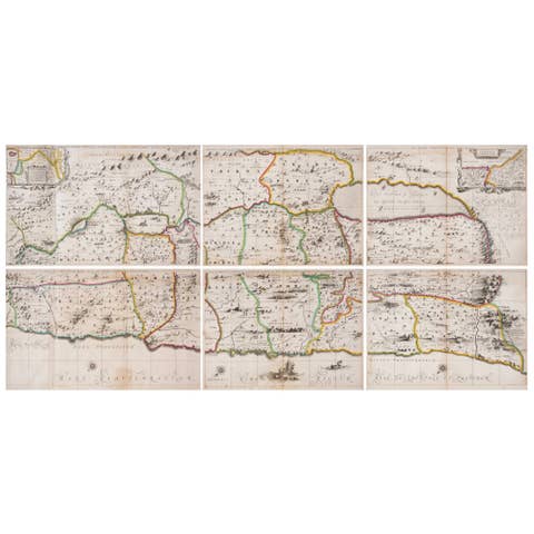
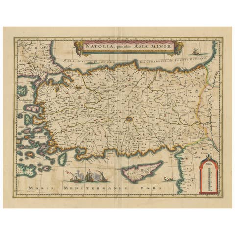
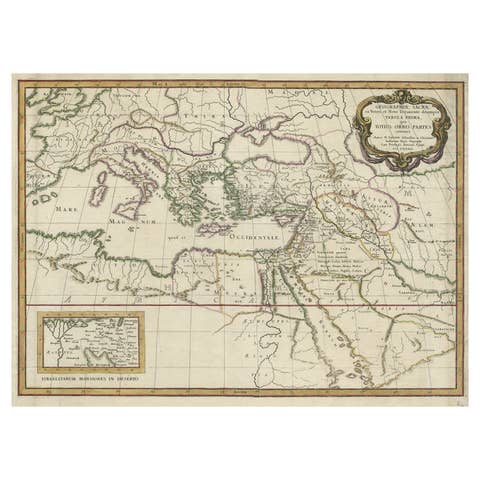
This finely engraved 17th-century map illustrates the biblical journeys of the Patriarchs Abraham, Isaac, and Jacob across the lands of the Old Testament. Issued by the renowned Amsterdam mapmaker Joannes Janssonius, the map presents a richly imagined vision of the Promised Land, extending from Egypt and the Mediterranean coast through Judea, Mesopotamia, and the Arabian Desert.
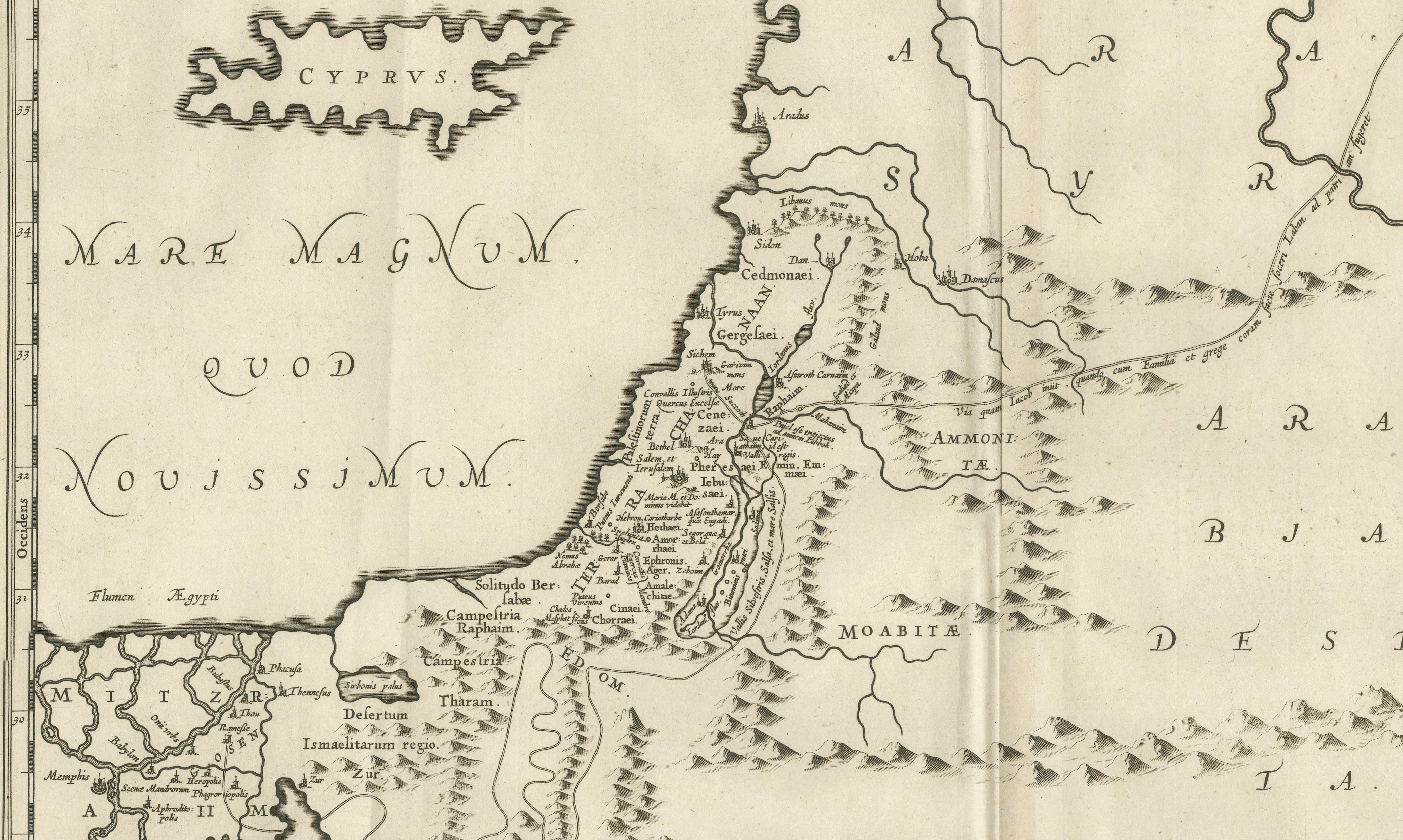
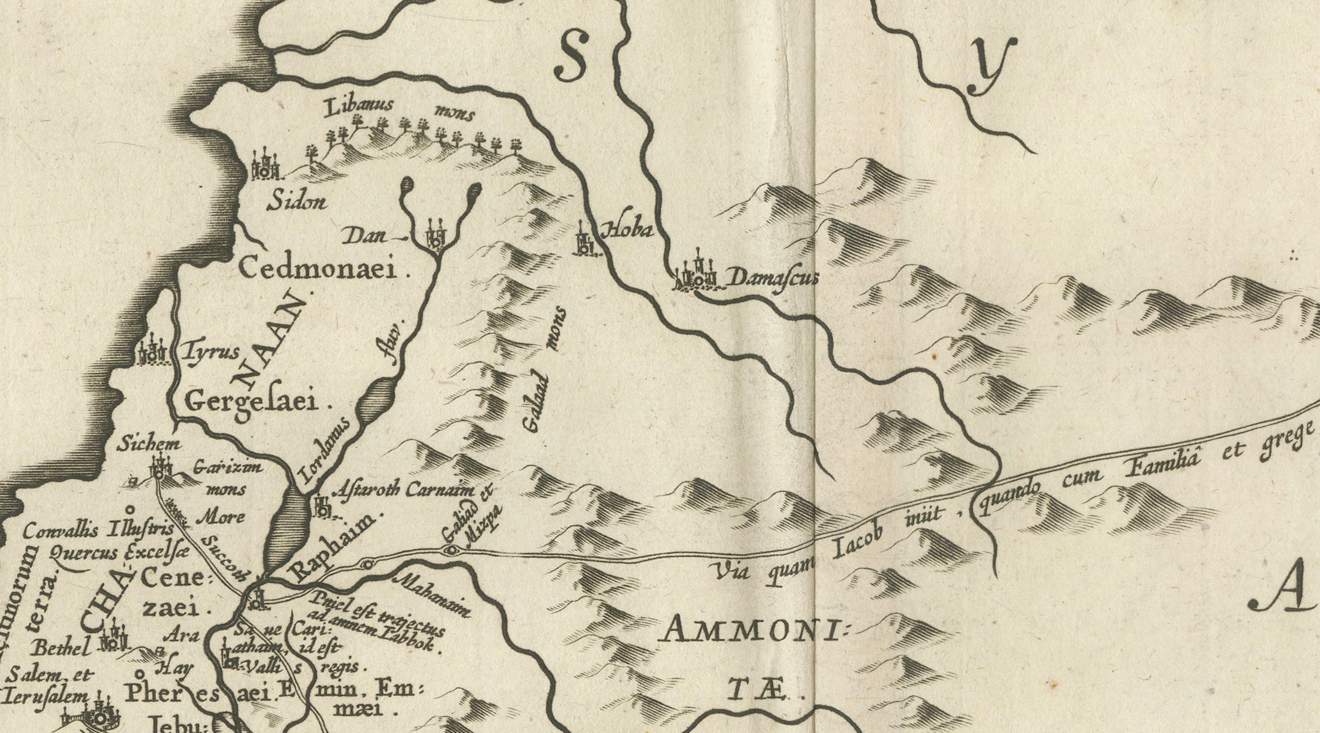
Designed as a tabula itineraria, the map traces sacred routes rather than political boundaries, emphasizing spiritual geography and narrative movement. Mountain ranges, deserts, rivers, and ancient cities are rendered with elegant clarity, while place names drawn from scripture reinforce its theological purpose. Cyprus appears offshore, and the Mediterranean is prominently labeled Mare Magnum, anchoring the composition in classical cartographic tradition.
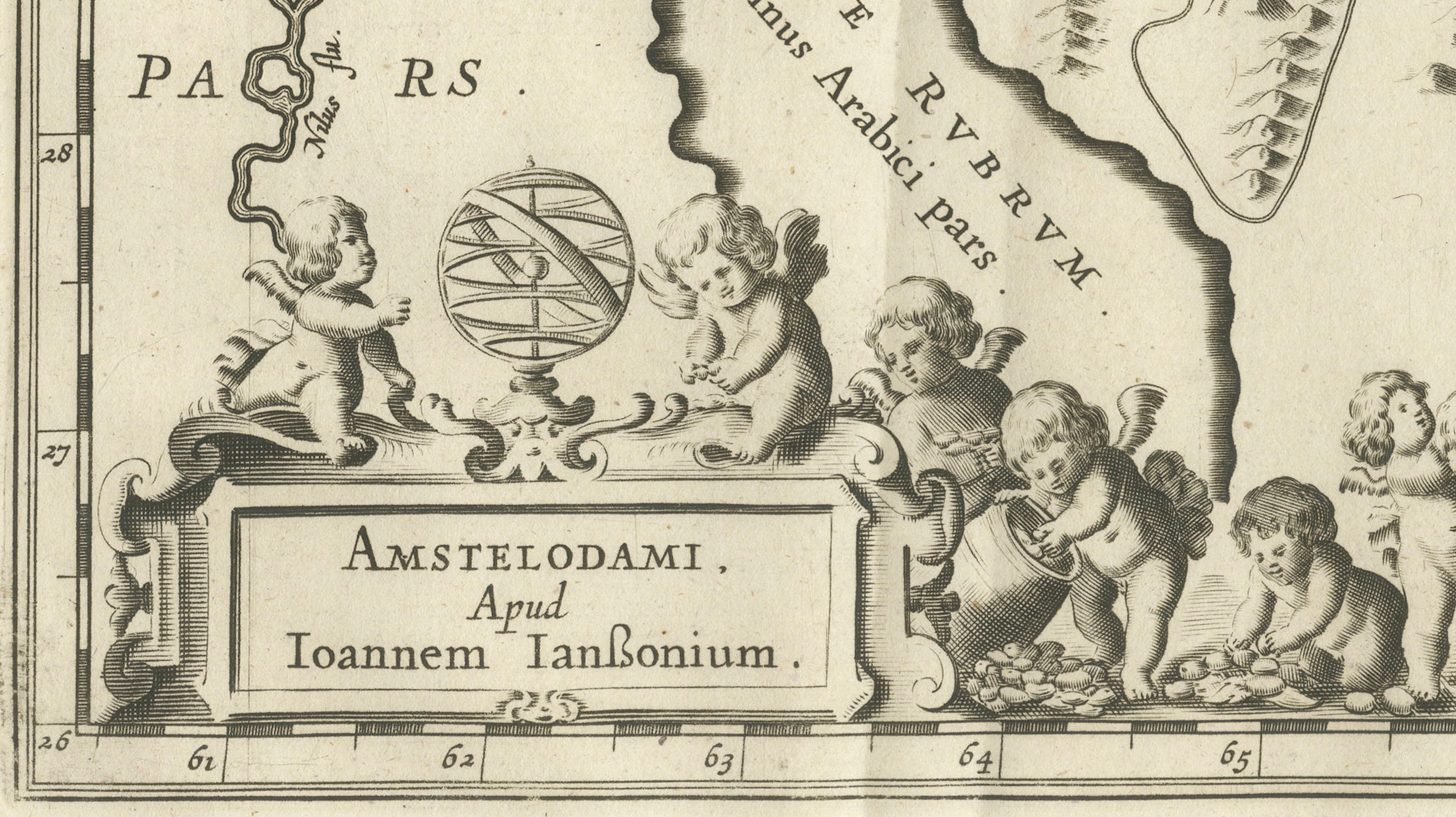
Two elaborate baroque cartouches frame the lower portion of the map. One bears the full Latin title, surrounded by scrollwork and allegorical ornament, while the other includes the Amsterdam imprint of Janssonius. These decorative elements elevate the sheet from a functional map to a display piece intended for learned interiors, libraries, or devotional settings.
Maps of the Patriarchs were especially popular in the 17th century among theologians, scholars, and collectors interested in biblical history, typology, and sacred geography. Janssonius’s interpretation is among the most refined, combining scholarly content with decorative elegance typical of the Dutch Golden Age of cartography.
Today, this map appeals equally to collectors of antique maps, biblical scholars, and interior designers seeking a historically rich and visually calm work with spiritual resonance. Its balanced layout, restrained engraving, and classical ornament make it particularly suitable for traditional, neoclassical, or library interiors.
Condition:
Good antique condition. Copper engraving on laid paper with visible central fold as issued. Light age toning and minor handling wear consistent with age. Plate mark visible.
Framing tips:
Frame in dark walnut or ebonized wood with a generous ivory or light cream mat to emphasize the engraving and cartouches. Works beautifully in a classic library, study, or refined hotel-style interior.
Technique: Copper engraving
Maker: Joannes Janssonius, Amsterdam, mid-17th century