About this sheet
Here is a catalogue entry in your preferred format for the Persia map you uploaded, in plain text and without using *:
---
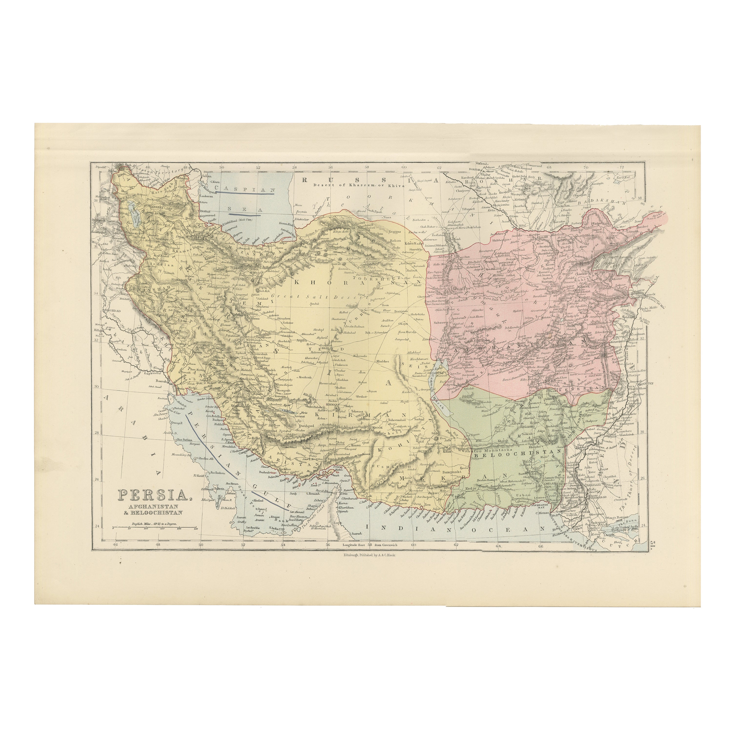
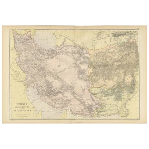
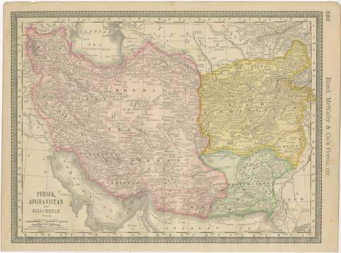
Title: Antique Map of Persia, Afghanistan and Beloochistan – Black’s Atlas, 1884
This finely engraved and hand-colored map titled “Persia, Afghanistan & Beloochistan” was published in the New and Revised Edition of Black’s General Atlas of the World, Edinburgh, 1884. It presents a detailed political and geographical view of the Iranian plateau and its surrounding regions during the height of 19th-century imperial rivalry in Central and South Asia.
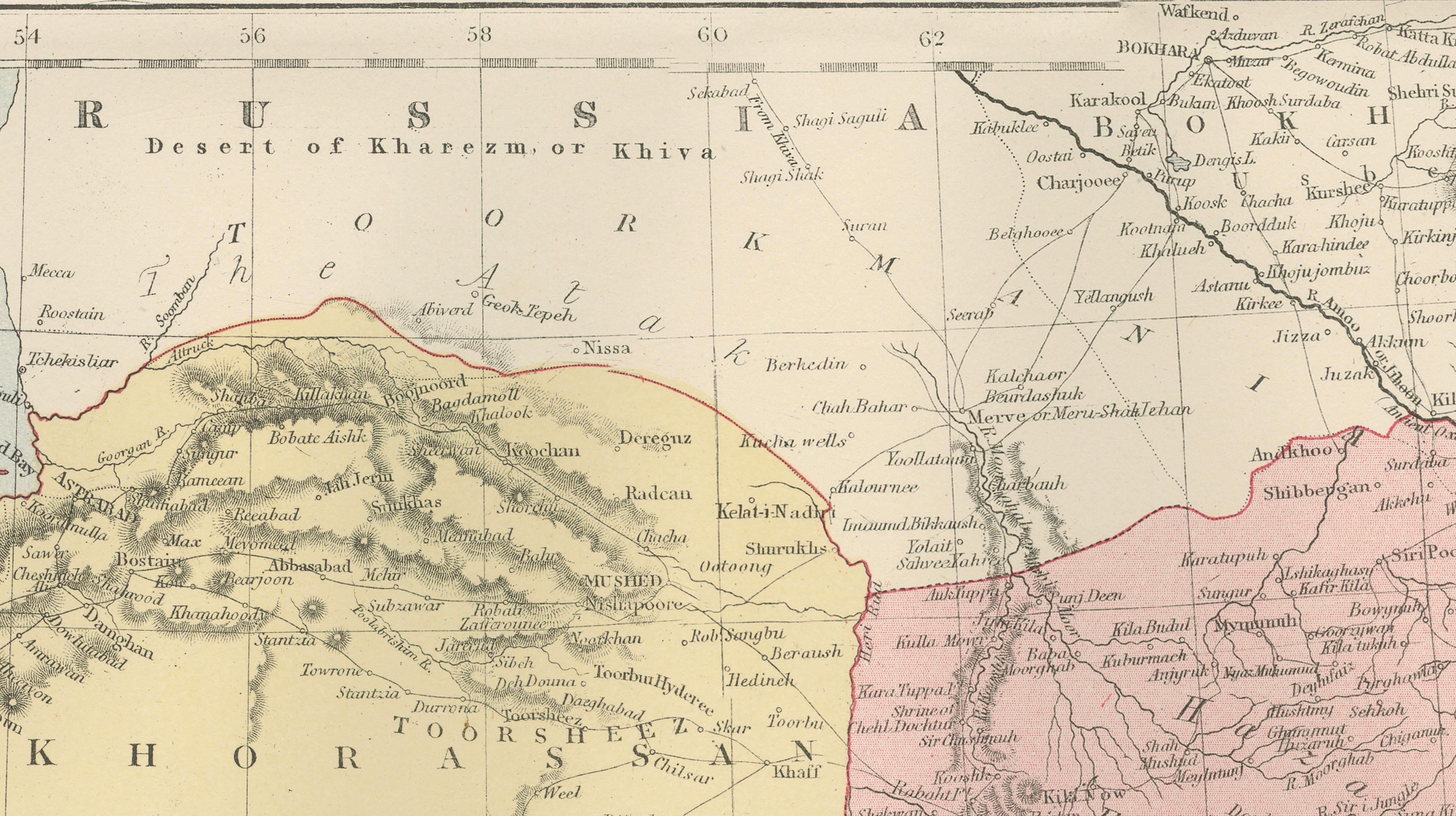
The map covers Persia (modern Iran) in its full extent, bordered by the Caspian Sea to the north and the Persian Gulf and Arabian Sea to the south. To the east, Afghanistan and Beloochistan are shown in detail, while parts of Central Asia and British India appear along the margins. Political boundaries are clearly delineated and enhanced with subtle original hand coloring, distinguishing the major regions and spheres of influence of the period.
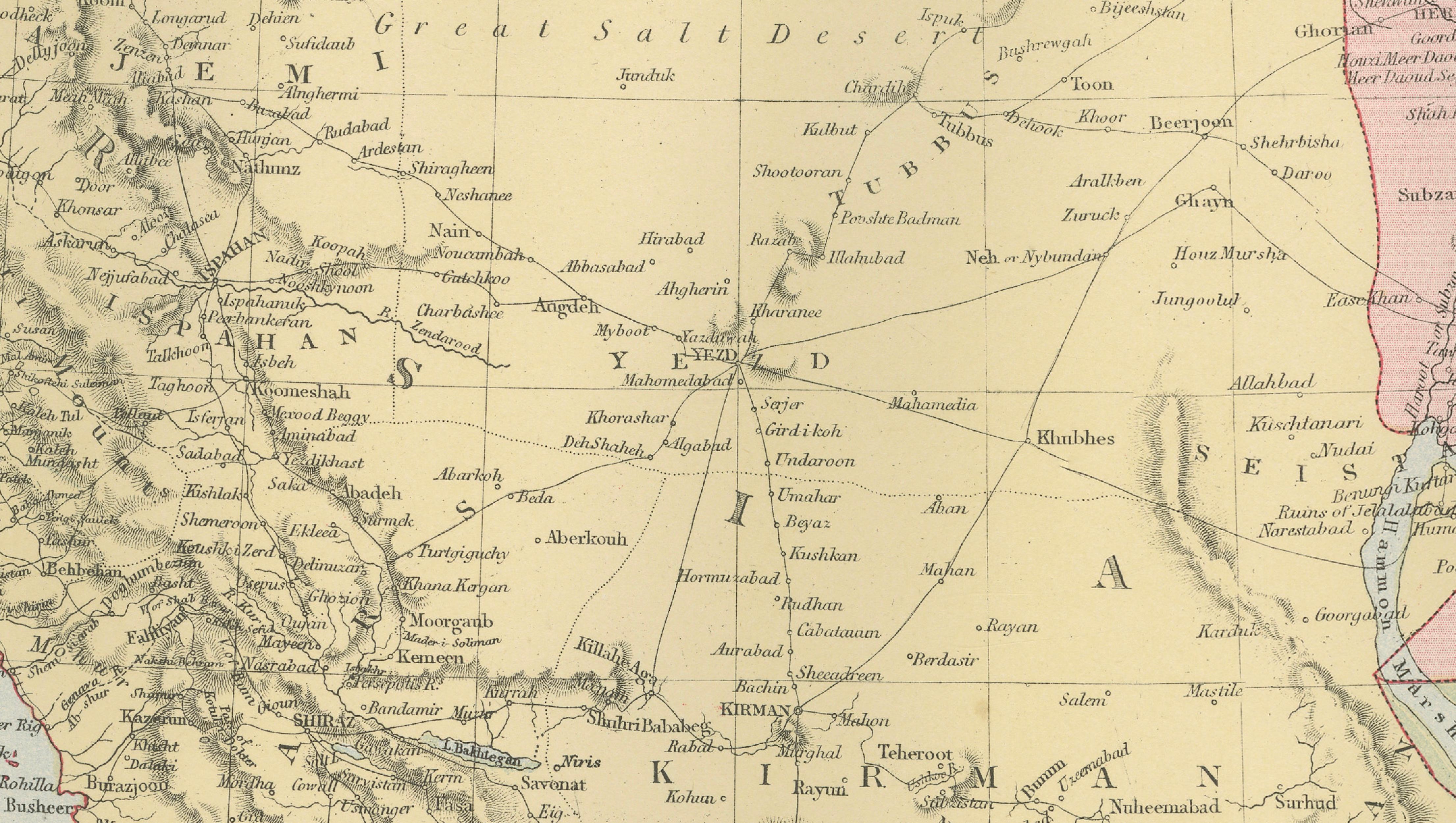
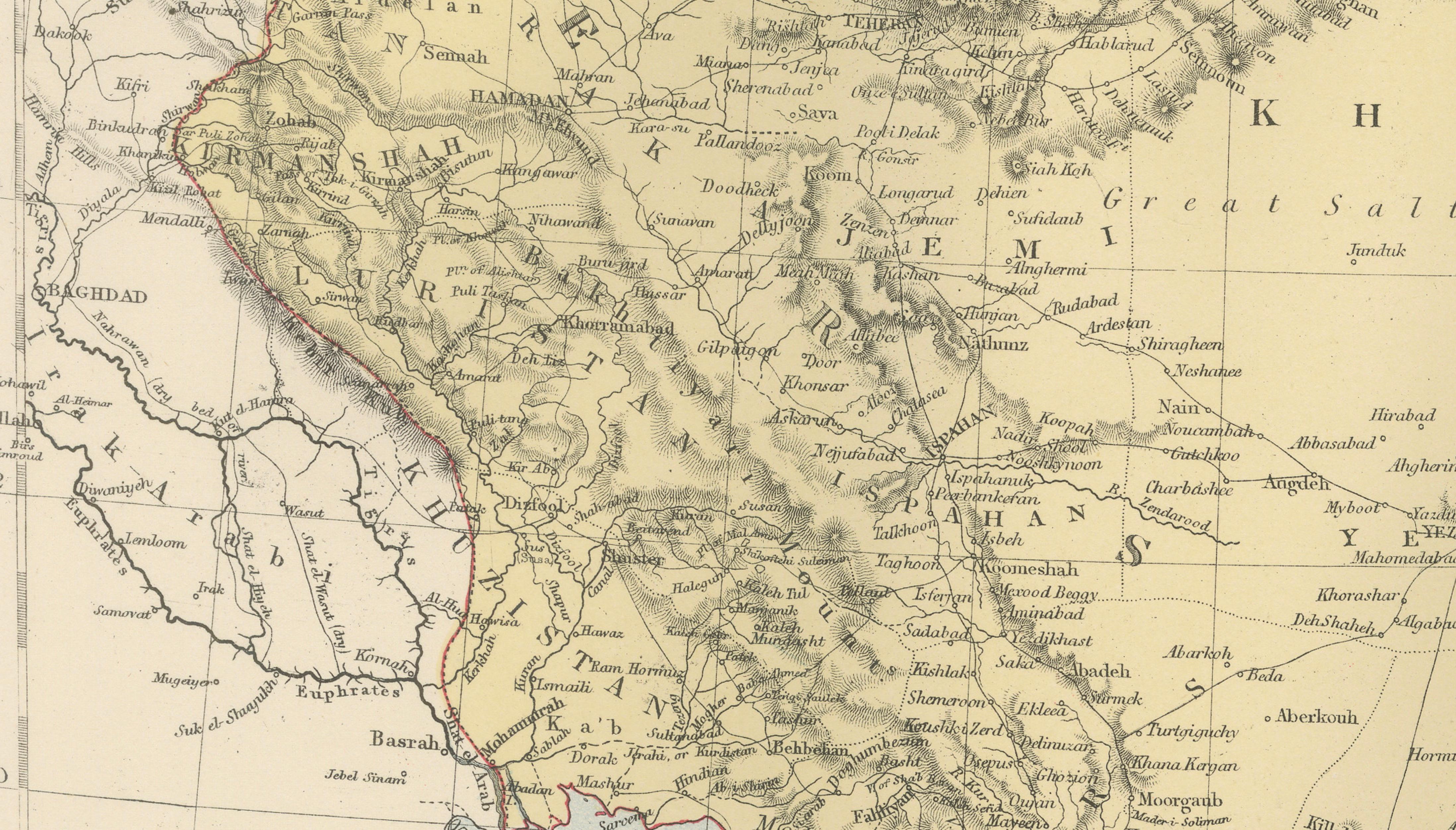
Mountain ranges such as the Zagros and Elburz are rendered with careful hill shading, while deserts including the Great Salt Desert and surrounding arid regions are clearly identified. Rivers, caravan routes, towns, and cities are finely engraved, including Tehran, Isfahan, Shiraz, Tabriz, Mashhad, Herat, Kandahar, and Kabul. Coastal details along the Persian Gulf are especially well drawn, emphasizing the strategic maritime importance of the region.
This map reflects the geopolitical realities of the late 19th century, when Persia stood at the center of the so-called Great Game between British and Russian interests. It provides a valuable historical snapshot of borders, trade routes, and regional geography before the major political transformations of the 20th century.
Condition report:
Very good condition. Original hand coloring remains clear and harmonious. Light marginal toning and faint age-related spotting consistent with atlas maps of this period. No tears or losses.
Framing tips:
This map benefits from an archival mat in ivory or light cream to complement the muted pastel coloring. A dark walnut or black frame enhances contrast and legibility, while a restrained gilt frame highlights its late Victorian character. UV-protective glass is recommended to preserve the original hand coloring.
Technique: Engraving with original hand coloring
Maker: Black’s General Atlas, Edinburgh, 1884