Antique Maps of Japan
36 original sheets
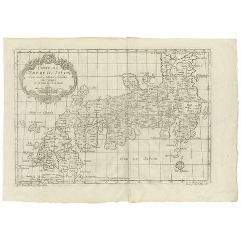
Antique Map of Japan by J.N. Bellin, 1752
1752 · € 460
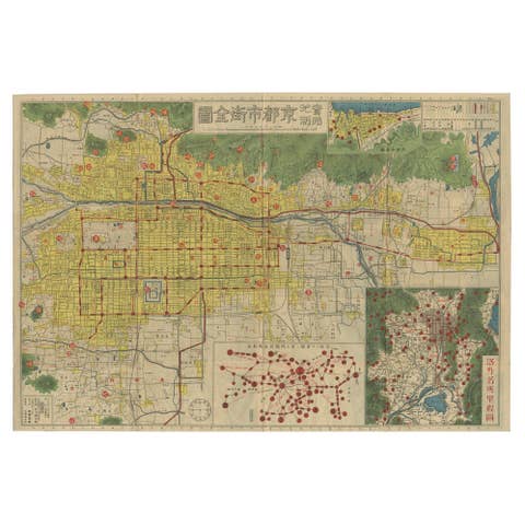
Antique Folding Map of Kyoto, Japan, 1920
1920 · € 1 600
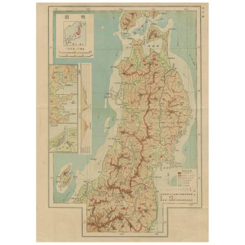
Set of 11 Antique Maps of Japan Originating from a Japanese Atlas, 1906
1906 · € 500
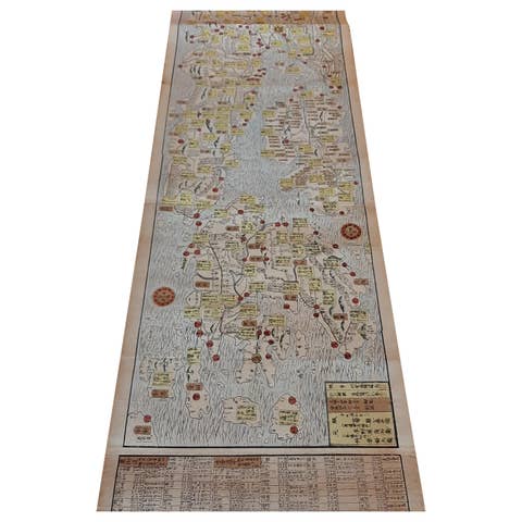
Antique Japanese Woodblock Print Map, Paper, Circa 1860, Large Size
1860 · € 2 500
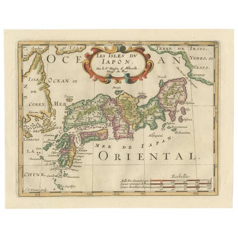
Antique Map of Japan and Korea by Sanson, 'c.1690'
1690 · € 1 000

Antique Map of Japan and Korea by Johnston '1909'
1909 · € 350
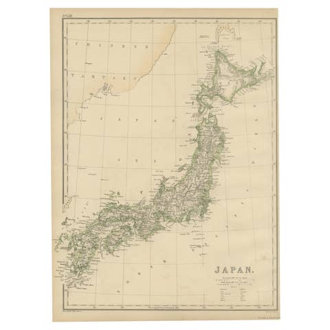
Antique Map of Japan by W. G. Blackie, 1859
1859 · € 200
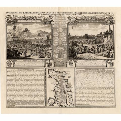
Antique Engravings of Japan incl a Map and the Arrival of the Dutch, 1732
1732 · € 503

Extremely Rare Map of The land of Eso or Hokkaido in Japan, 1725
1725 · € 725
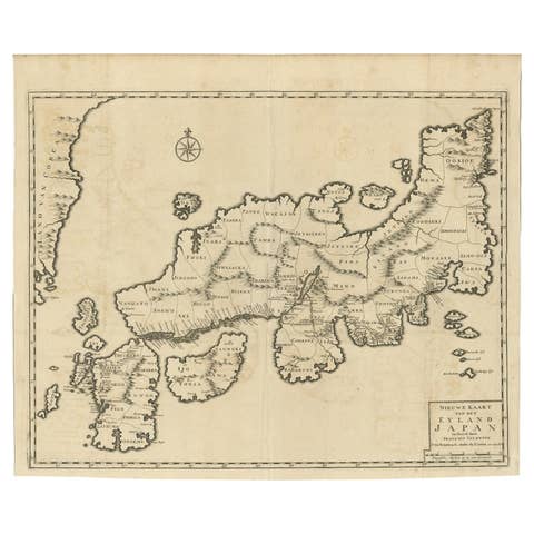
Rare Antique Map of Japan with Place Names Given in Dutch Nomenclature, 1726
1726 · € 2 250
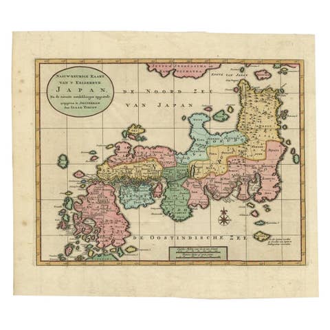
Antique Map of Japan with Scale and Compass Rose, c.1730
1730 · € 900
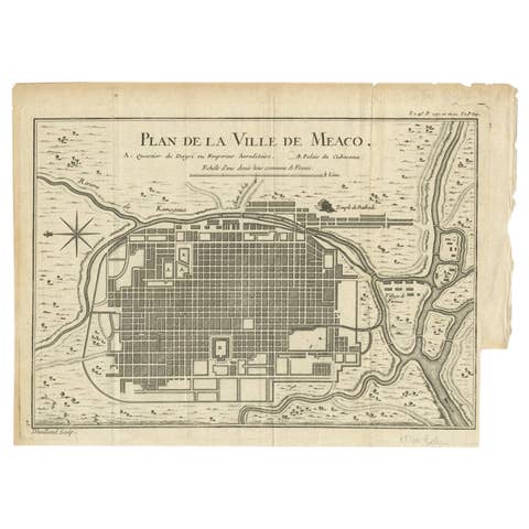
Antique Map of Kyoto located in The Kansai Region on the Island of Honshu, c1740
€ 450
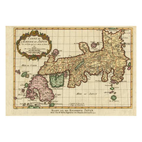
Nice Antique Map of the Empire of Japan. Centered on the Bay of Osaka, ca.1752
1752 · € 950
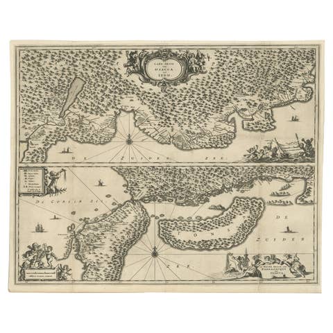
Map of Japanese Coast from Osaka to Tokyo & the Kyushu and Shikoku Islands, 1669
1669 · € 1 450
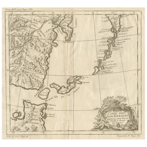
Old Map of The Kurile Islands, from Hokkaido, Japan to Kamchatka, Russia, c.1750
1750 · € 310

Decorative Map of the Empire of China, Korea, Japan, Taiwan, Lucon, Macau, 1780
1780 · € 650
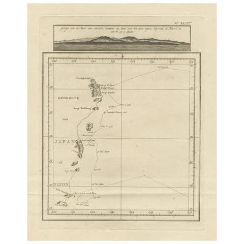
Map of the East Coast of Hanshu or Honshu & a View of the Japanese Coast, 1803
1803 · € 520
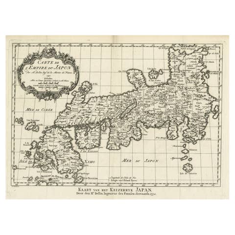
Original Antique Map of the Empire of Japan, Centered on the Bay of Osaka, c1752
€ 840
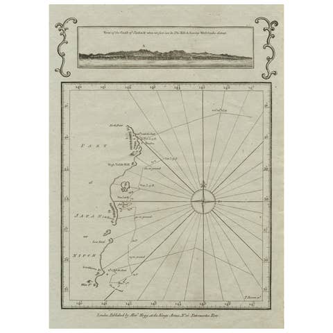
Old Map of the East Coast of Honshu with an Inset, Japan, c.1785
1785 · € 220
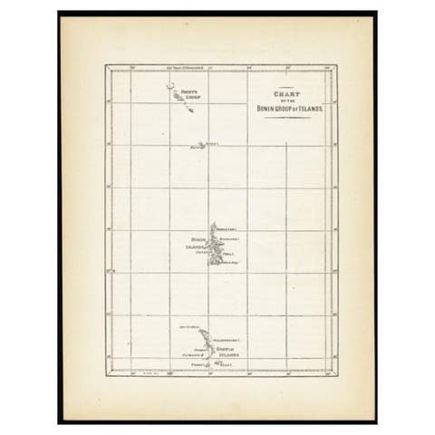
Antique Map of the Bonin Islands by Hawks, 1856
1856 · € 88
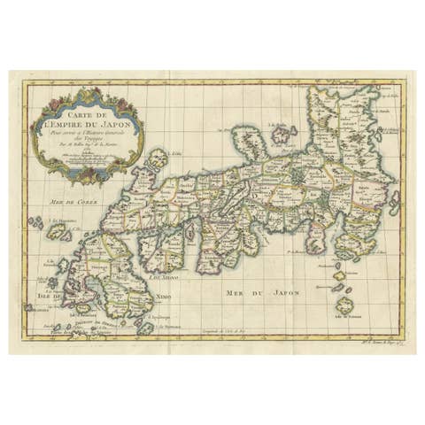
Attractive Hand-Tinted Antique Map of Japan, Published in 1752
1752 · € 560
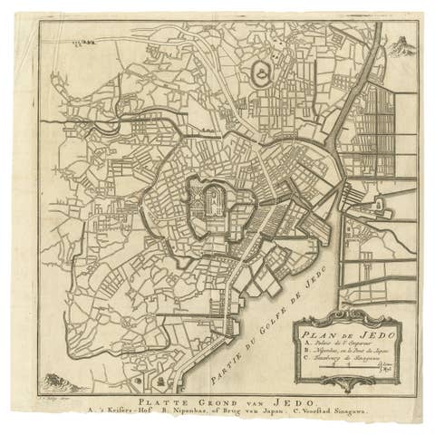
Antique Street Map of the City of Edo 'Modern Tokyo' in Japan
€ 290
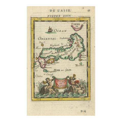
Japanese Isles Map by Mallet, 1683 – Decorative Miniature Map
1683 · € 440
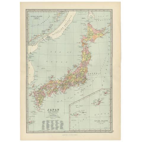
Antique Map of Japan, the Kurile Islands and Liu Kiu Islands, 1886
1886 · € 117
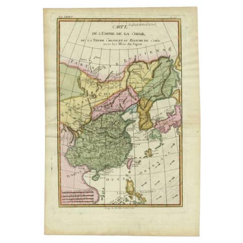
Antique Map of the Empire of China by Bonne, c.1780
1780 · € 650
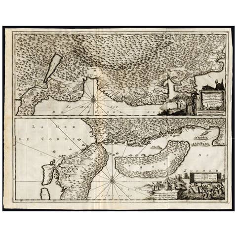
Antique Map of the Region of Osaka and Hirado Island in Japan, 1725
1725 · € 1 325
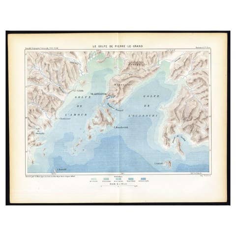
Antique Map of the Peter the Great Gulf by Reclus, 1881
1881 · € 89
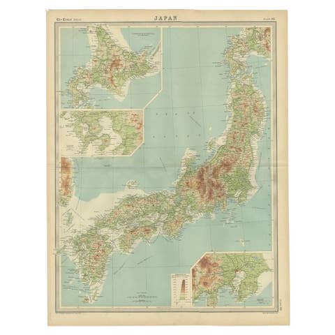
Antique Map of the Region of Tokyo and Nagasaki in Japan, 1922
1922 · € 125
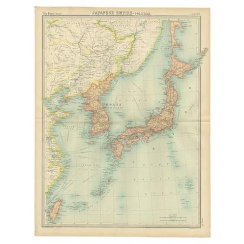
Antique Political Map of the Japanese Empire, 1922
1922 · € 140
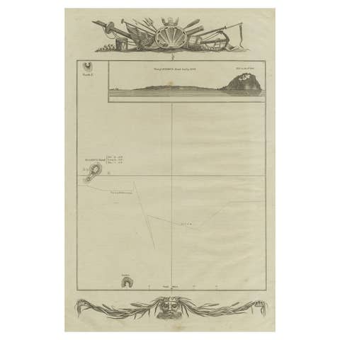
Antique Map of the Islands of Iwo Jima and Sulfur
€ 260
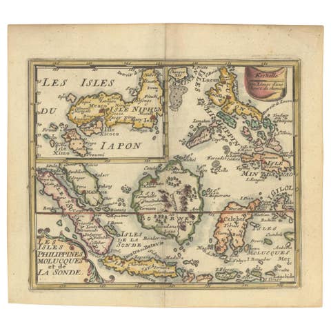
1692 Jacq. Peeters Map: East Indies, Indonesia, Japan, Philippines and Singapore
1692 · € 660
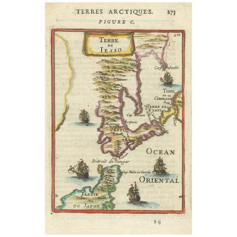
1685 Alain Manesson Mallet Map of Hokkaido (Lesso) in Northern Japan
1685 · € 460
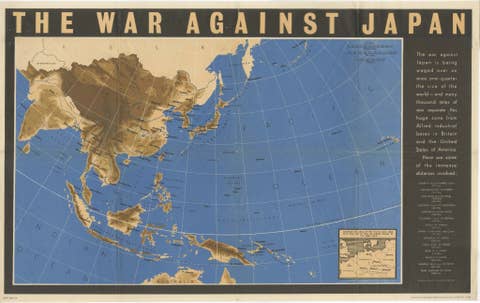
Original Vintage WWII Pacific Theater Map “The War Against Japan” Poster, 1944
1944 · € 980

Antique Map of Japan by Johnson & Ward, Decorative Civil War Era Atlas Map, 1865
1865 · € 440
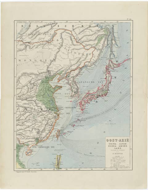
Antique Map of East Asia, Japan & Korea by J. Kuijper, circa 1860
1860 · € 310
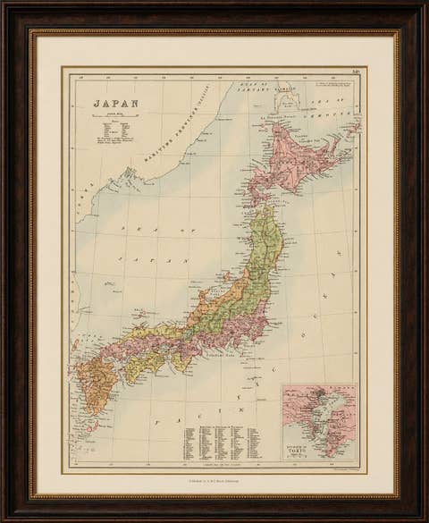
Antique Map of Japan with Tokyo Inset, Black’s General Atlas, 1885
1885 · € 450