Antique Maps of Province of Friesland
194 original sheets
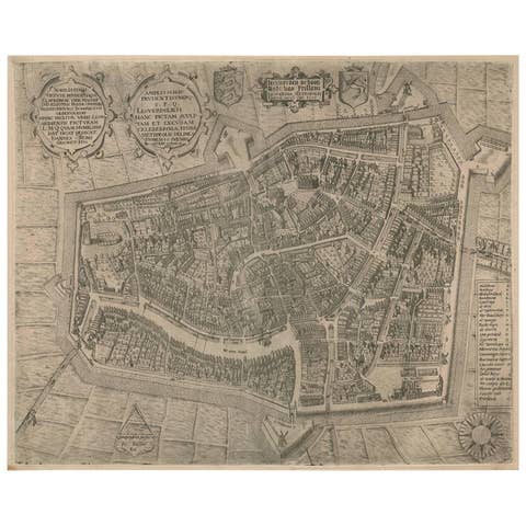
Rare Antique Map of Leeuwarden by P. Bast, 1603, Wall Art, Netherlands
1603 · € 4 250
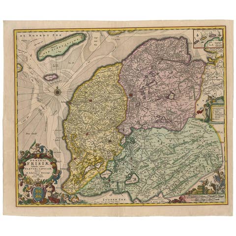
Antique Map: Friesland and Terschelling with Inset Isles, by Visscher II, 1670
1670 · € 975
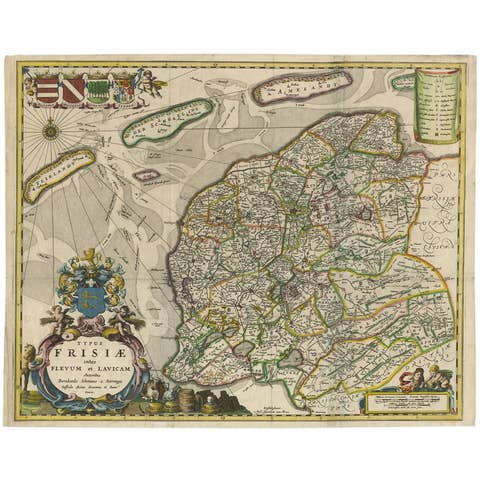
Antique Map of Friesland 'The Netherlands' by B. Schotanus, 1664
1664 · € 1 675
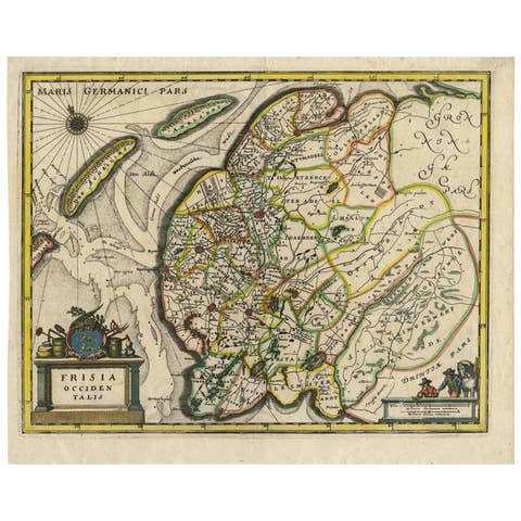
Original Antique Hand-Colored Map of Friesland by C. Merian, 1659
1659 · € 380
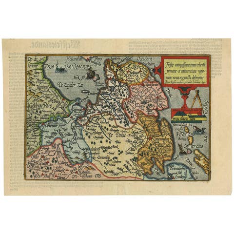
Antique Map of Friesland 'The Netherlands' by J. Bussemacher, 1596
1596 · € 580
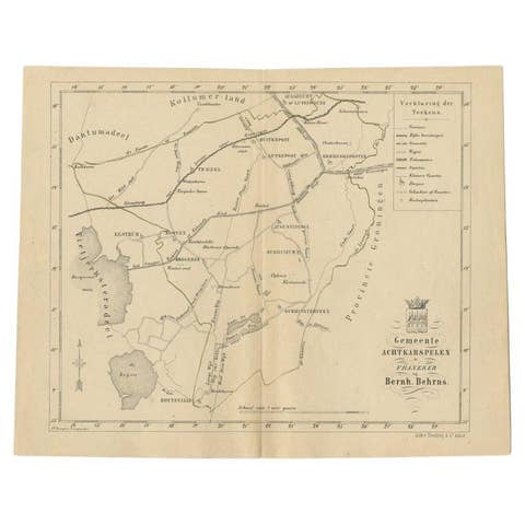
Antique Map of The Dutch Achtkarspelen Township by Behrns, 1861
1861 · € 86
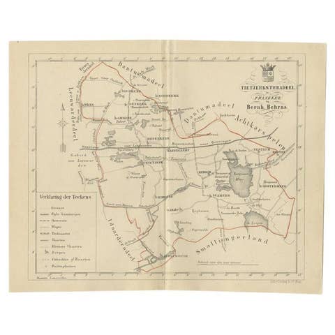
Antique Map of the Frisian Tietjerksteradeel Township in the Netherlands, 1861
1861 · € 89
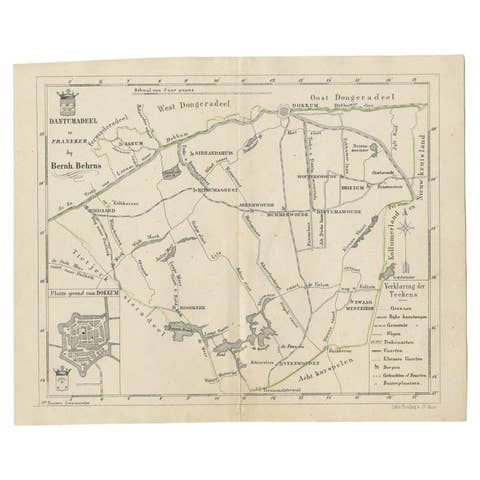
Antique Map of the Dutch Dantumadeel Township, 1861
1861 · € 130
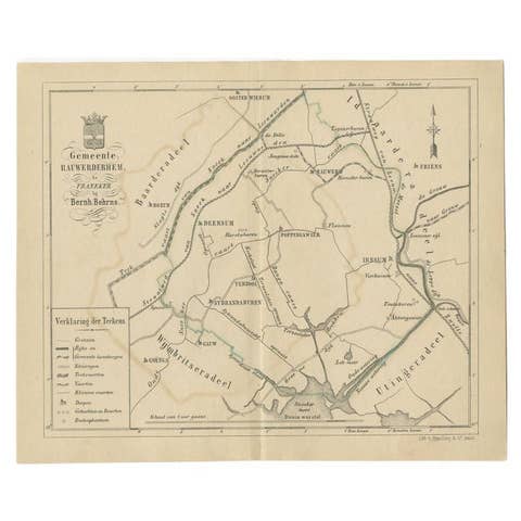
Antique Map of The Dutch Township Rauwerderhem, 1861
1861 · € 120
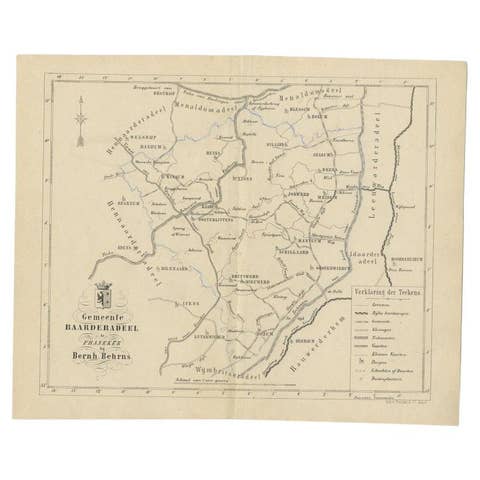
Antique Map of the Dutch Township Baarderadeel, 1861
1861 · € 120
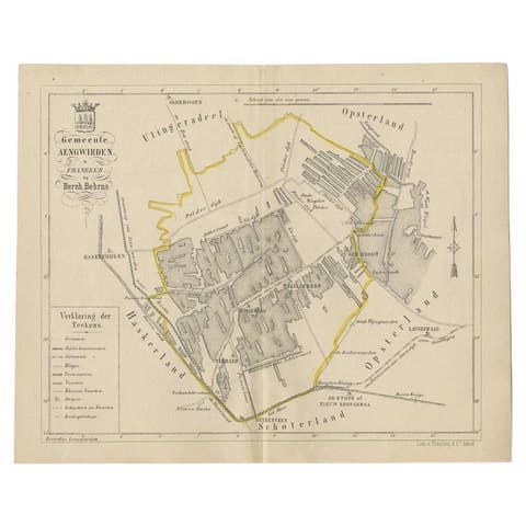
Antique Map of the Dutch Township Aengwirden, 1861
1861 · € 120
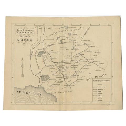
Antique Map of The Region of Heerenveen by Behrns, 1861
1861 · € 130
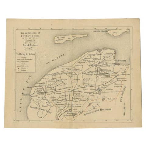
Antique Dutch Map of The Region of Leeuwarden by Behrns, 1861
1861 · € 150
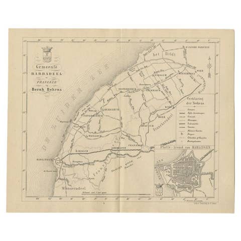
Antique Dutch Map of The Barradeel Township by Behrns, 1861
1861 · € 120
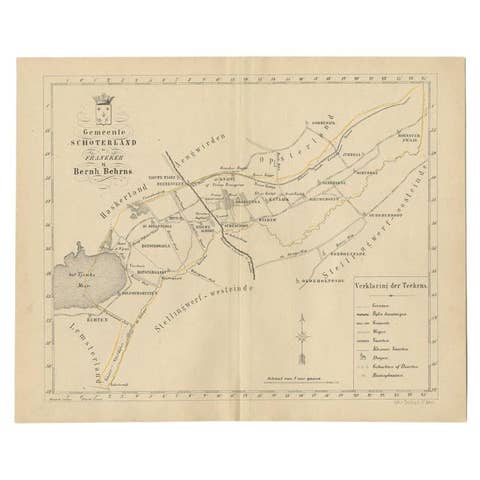
Antique Map of the Schoterland Township in Friesland, the Netherlands, 1861
1861 · € 89
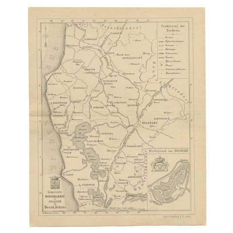
Antique Map of The Wonseradeel Township in Friesland, The Netherlands, 1861
1861 · € 190
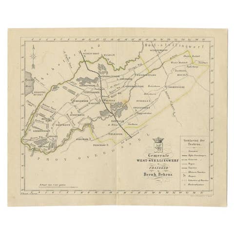
Antique Map of The Dutch West-Stellingwerf Township by Behrns, 1861
1861 · € 120
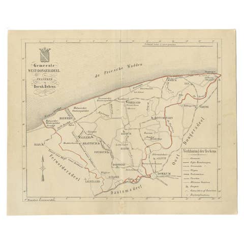
Antique Map of The Dutch West-Dongeradeel Township by Behrns, 1861
1861 · € 120
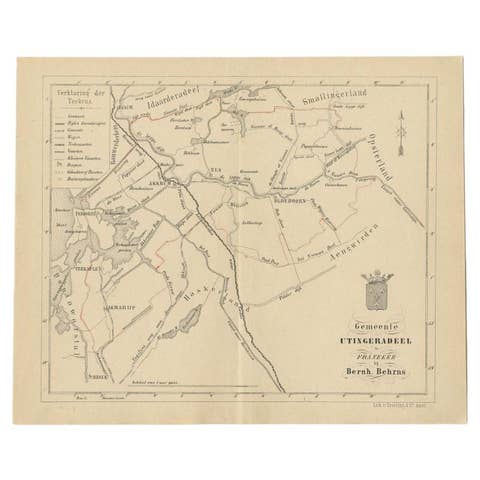
Antique Map of the Dutch Utingeradeel Township by Behrns, 1861
1861 · € 120
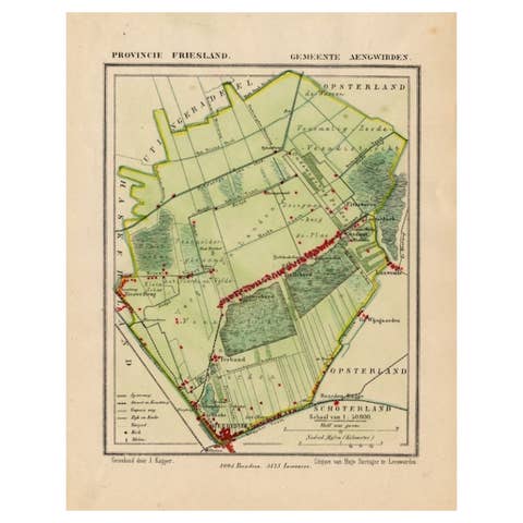
Antique Map of Frisian Municipality of Aengwirden in the Netherlands, 1868
1868 · € 130
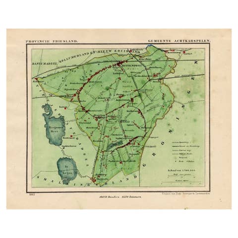
Antique Map of Frisian Municipality of Achtkarspelen in the Netherlands, 1868
1868 · € 140
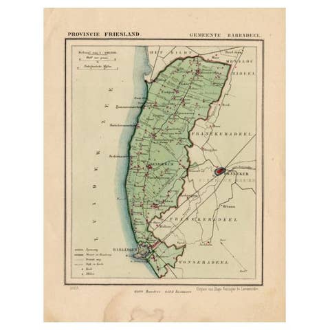
Antique Map of Barradeel, a County in Friesland, The Netherlands, 1868
1868 · € 105
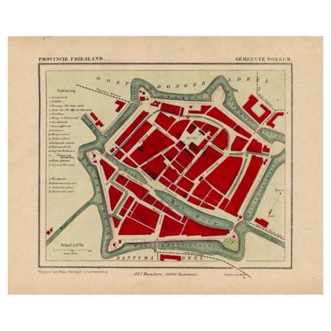
Antique Map of Dokkum a City in the North of Friesland, the Netherlands, 1868
1868 · € 210
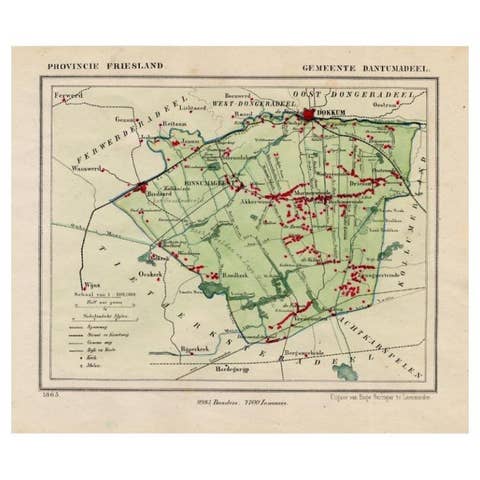
Antique Map of Dantumadeel, Friesland, The Netherlands, 1868
1868 · € 108
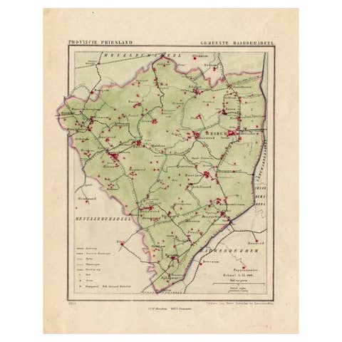
Antique Map of Frisian Township of Baarderadeel in the Netherlands, 1868
1868 · € 180
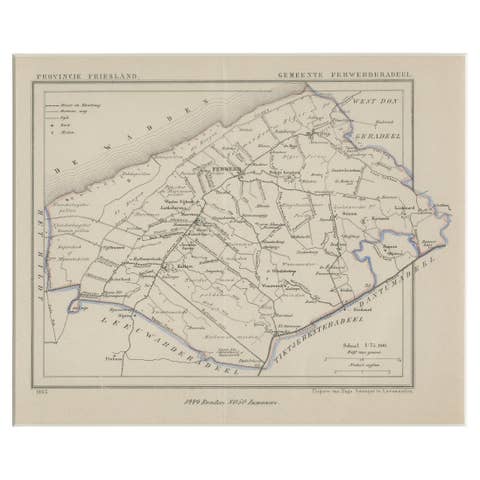
Antique Map of Ferwerderadeel, a County in Friesland, The Netherlands, 1868
1868 · € 180
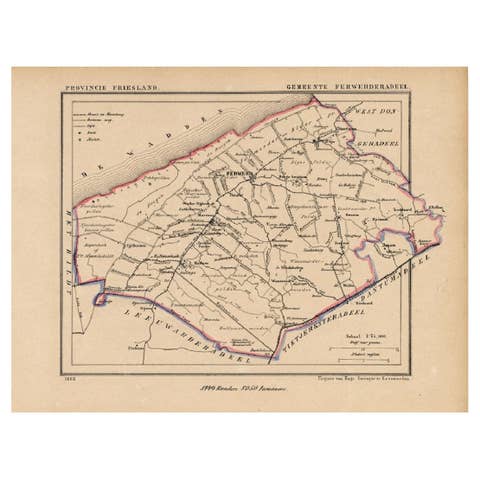
Antique Map of the County Ferwerderadeel, Friesland, The Netherlands, 1868
1868 · € 160
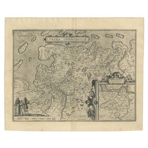
Antique Map of East Frisia by Ortelius, c.1595
1595 · € 850
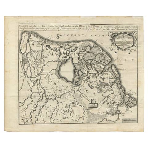
Rare Antique Map of Friesland in Roman Times, Published 1778
1778 · € 950
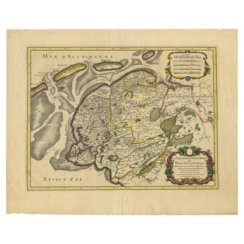
French Edition of an Antique Map of Friesland in the Netherlands, 1709
1709 · € 890

Antique Map of Friesland, The Netherlands, 1638
1638 · € 475
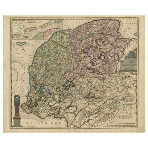
Antique Map of the Province of Friesland in The Netherlands, 1718
1718 · € 750
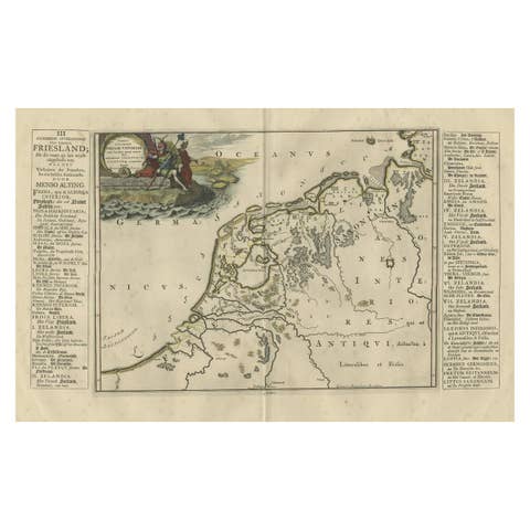
Antique Map of Friesland During Its Widest Spread, 1718
1718 · € 220
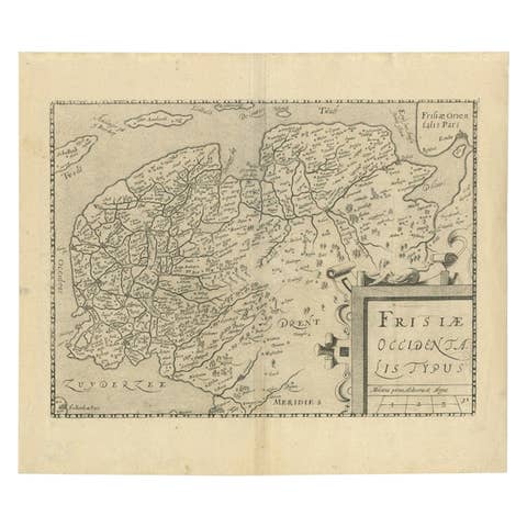
Original Antique Map of Friesland by Guicciardini, 1612
1612 · € 550
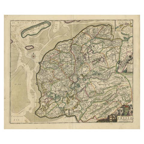
Antique Map of Friesland by De Wit, c.1690
1690 · € 820
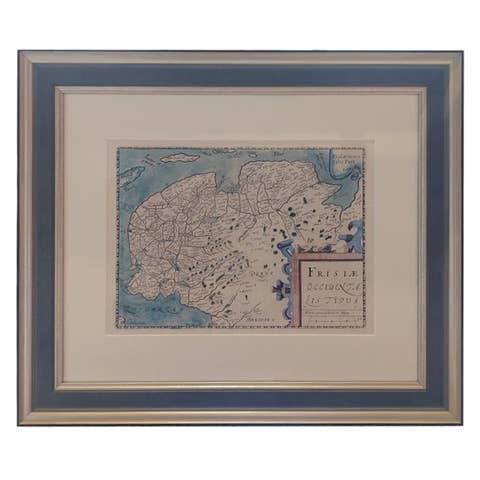
Original Antique Map of Friesland in Frame, The Netherlands, 1612
1612 · € 750
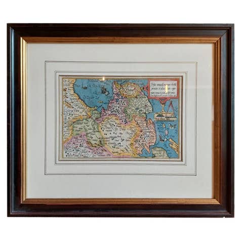
Antique Map of Friesland by Bussemacher in Frame, c.1592
1592 · € 750
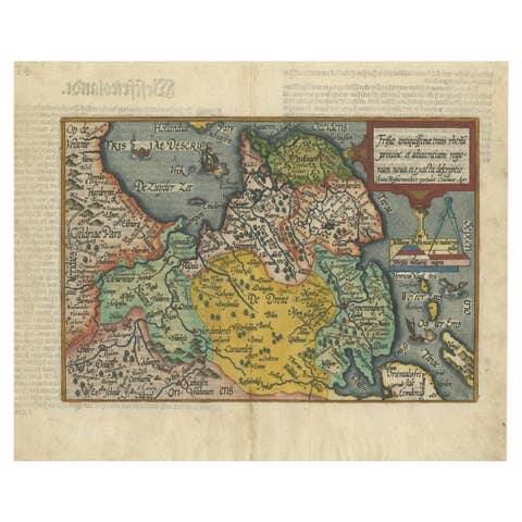
Original Antique Map of Friesland in Decorative Hand-Coloring, 1600
1600 · € 620
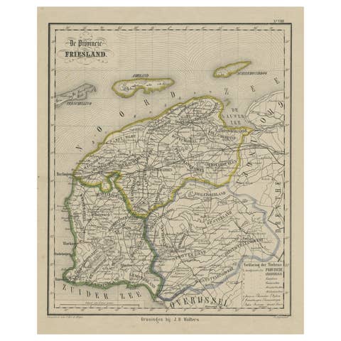
Antique Map of Friesland, Province in The Netherlands, 1864
1864 · € 140
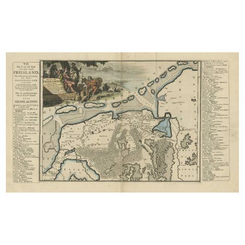
Antique Map of Friesland after the Floods of the 13th Century, 1718
1718 · € 350
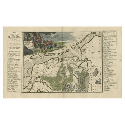
Antique Map of Friesland after the Floods of the 13th Century, 1718
1718 · € 355
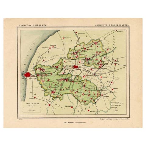
Antique Map of Franekeradeel, Township in Friesland, The Netherlands, 1868
1868 · € 130
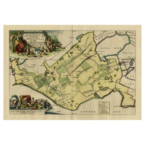
Antique Map of Gaasterland in Friesland, the Netherlands, 1718
1718 · € 650
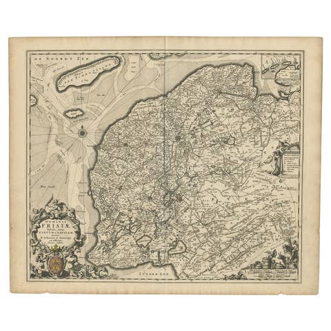
Beautiful First State Map of Friesland, the Netherlands, c.1665
1665 · € 875
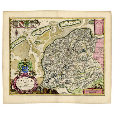
Antique Map of Friesland with Four Coats of Arms, 1664
1664 · € 1 450
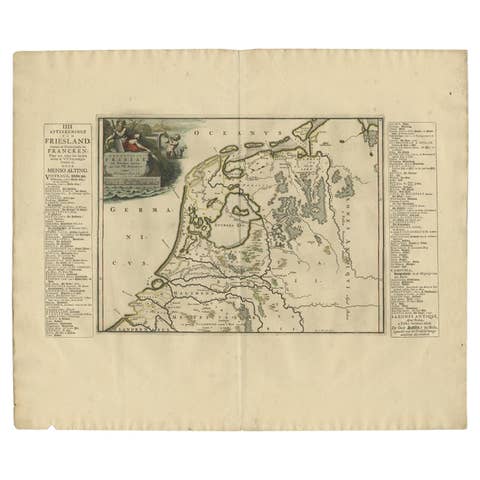
Antique Map of Friesland in the Time of the Franks, 1718
1718 · € 230
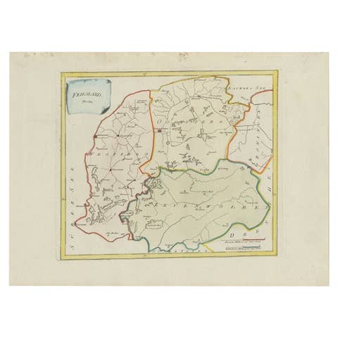
Antique Map of Friesland by Von Reilly, 1791
1791 · € 193
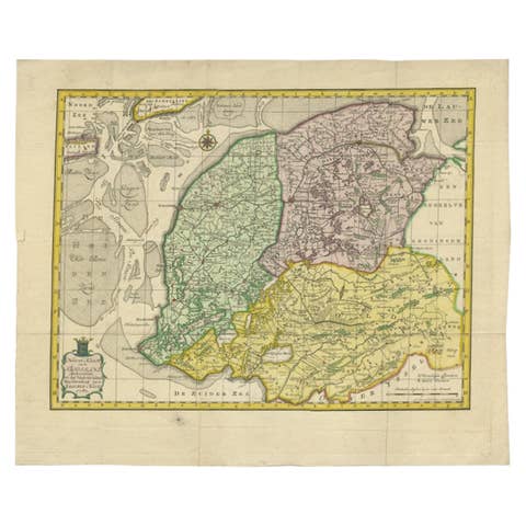
Antique Map of Friesland by Van Krevelt, 1787
1787 · € 459