Antique Maps of China
108 original sheets
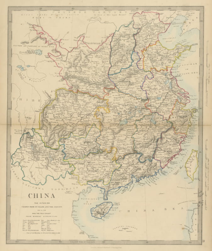
Antique Map of China with the Route of Lord Macartney and Lord Amherst, 1858
1858 · € 240
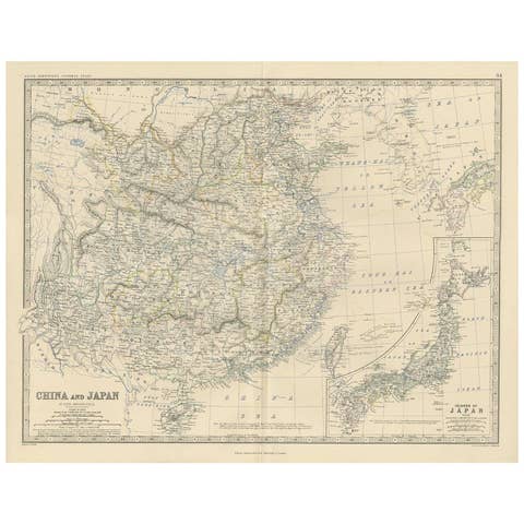
Antique Map of China and Japan by A.K. Johnston, 1865
1865 · € 300
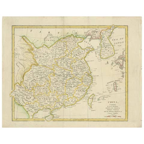
Antique Map of China by Artist Wilkinson, Engraved Paper, 1803
1803 · € 300
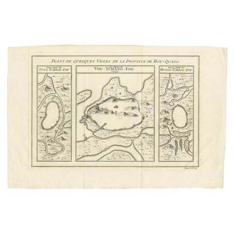
Antique Map of Three Cities of China's Hubei and Hunan Provinces by Bellin, 1755
1755 · € 165
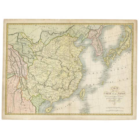
Antique Map of China and Japan by Tardieu, 1821
1821 · € 668
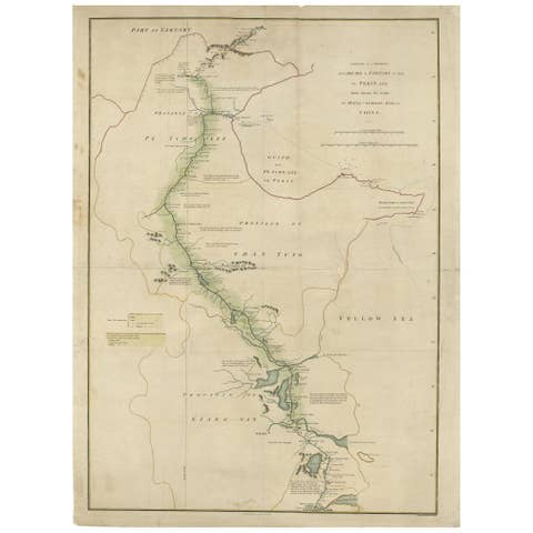
Antique Map of the Journey from Zhe-Hol in Tartary to Beijing and Hang-Tchoo Foo
€ 535
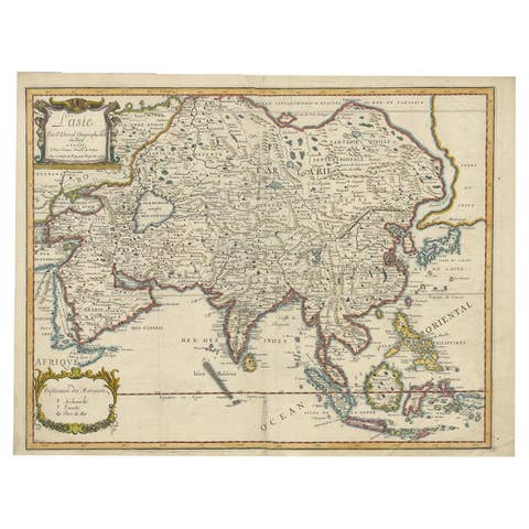
Antique Duval Map of East Asia with China, Japan, Korea and the Great Wall, 1663
1663 · € 1 800
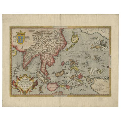
Antique Ortelius Map of Asia Featuring Japan, China, Taiwan & East Indies, 1587
1587 · € 4 950
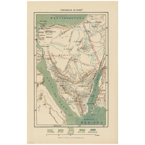
Antique Map of the Sinai Peninsula, '1895'
1895 · € 100
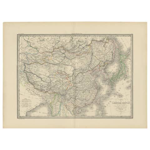
Antique Map of the Chinese Empire and Japan by Lapie, 1842
1842 · € 400
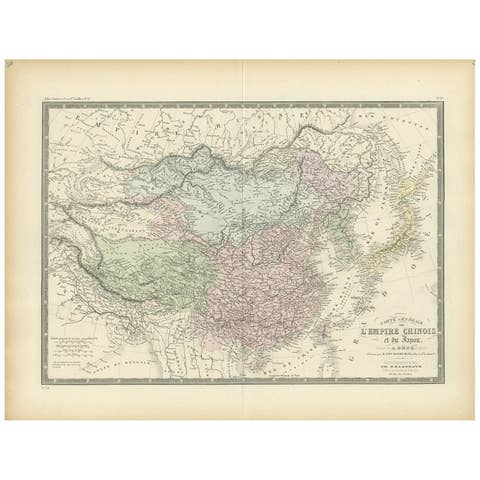
Antique Map of the Chinese Empire and Japan, 1875
1875 · € 390
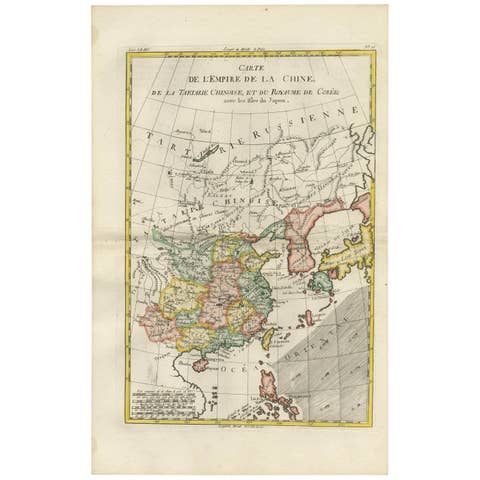
Antique Map of China, Korea, Japan and the Northern Philippines, circa 1780
1780 · € 330
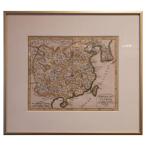
Antique Map of China Including Korea and Taiwan by Vaugondy, 1749
1749 · € 500

Antique Map of China and Japan by Johnson, 1872
1872 · € 300
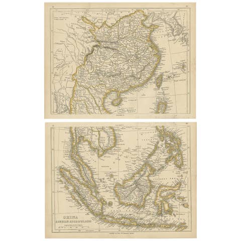
Antique Map of China and the East Indies by Lowry, 1852
1852 · € 350
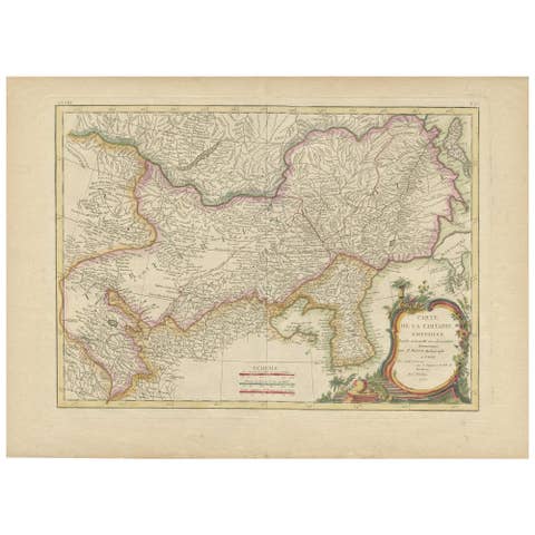
Antique Map of Korea and Southern China by Bonne '1771'
1771 · € 575

Antique Map of China and Japan by Wyld '1845'
1845 · € 300
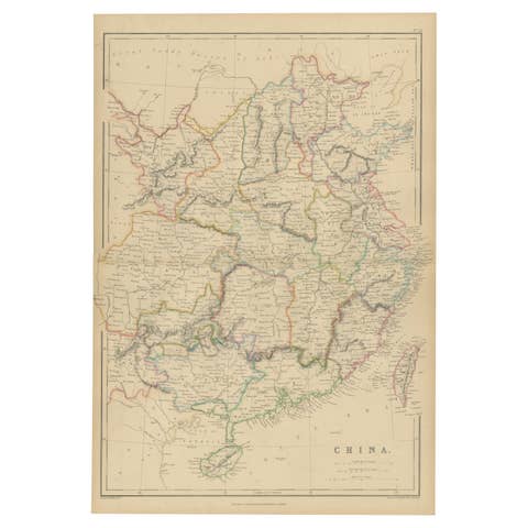
Antique Map of China by W. G. Blackie, 1859
1859 · € 250
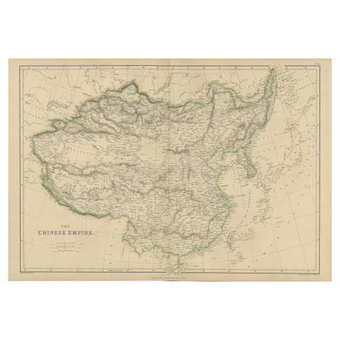
Antique Map of the Chinese Empire by W. G. Blackie, 1859
1859 · € 250
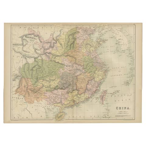
Antique Map of China by A & C, Black, 1870
1870 · € 275
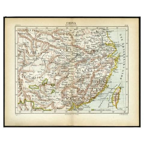
Antique Map of Central and Southern China by Kuyper, 1880
1880 · € 65
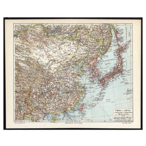
German Antique Map of China And Japan by Meyer, 1902
1902 · € 80
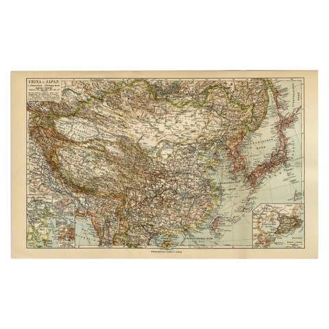
Antique Map of China and Japan by Meyer, 1895
1895 · € 85
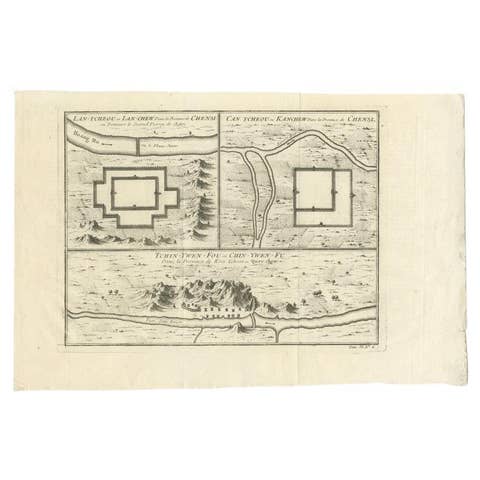
Antique Map of Cities of the Province of Shanxi in China, 1749
1749 · € 250
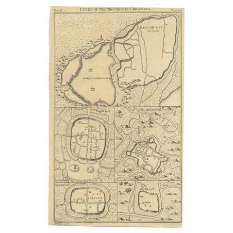
Antique Map of Cities of the Province of Che-Kyang in China, 1738
1738 · € 350
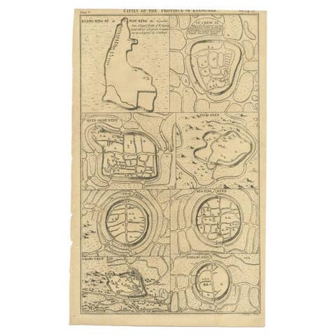
Antique Map of Cities of the Province of Che-Kiang in China, 1738
1738 · € 350

Antique Map of Cities of the Jiangsu Region in China, c.1760
1760 · € 200
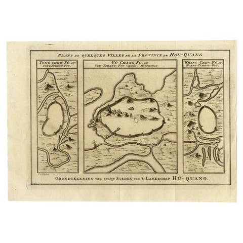
Antique Map of Cities in the Region of Hubei in China, 1758
1758 · € 320
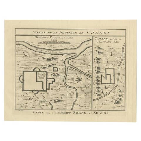
Antique Map of Cities in the Province of Shanxi in China, 1749
1749 · € 290
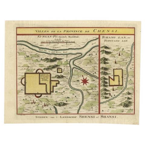
Antique Hand-Colored Map of Cities in the Province of Shanxi in China, 1749
1749 · € 350
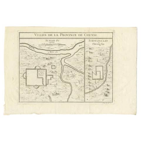
Antique Map of Two Cities in the Province of Shanxi or Chensi, China, 1748
1748 · € 310
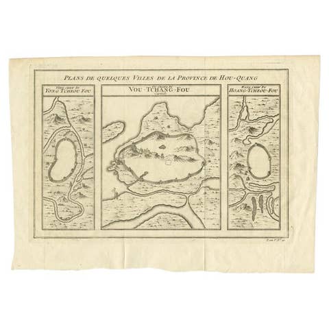
Antique Map of Cities in the Hubei and Hunan Provinces of China, 1755
1755 · € 290

Antique Map of Chinese and Independent Tartary, Korea and Japan, 1806
1806 · € 350

Antique Map of China, 1874
1874 · € 250
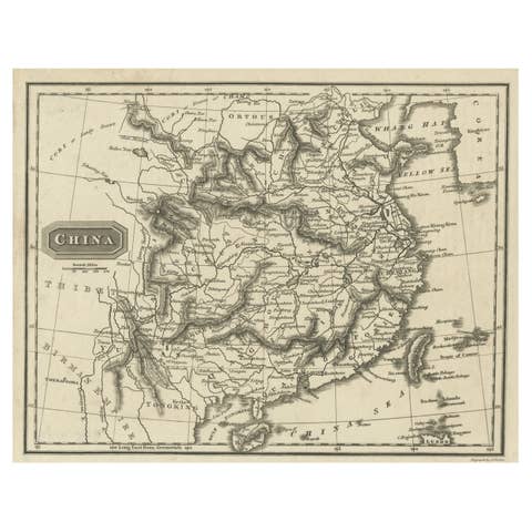
Old Map of the Mainland of China and the Islands of Formosa or Taiwan, c.1817
1817 · € 116
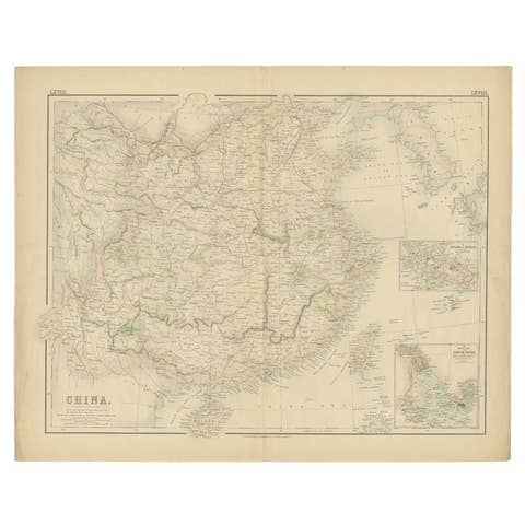
Antique Map of China with insets the Island of Chusan and Canton River, c.1860
1860 · € 120
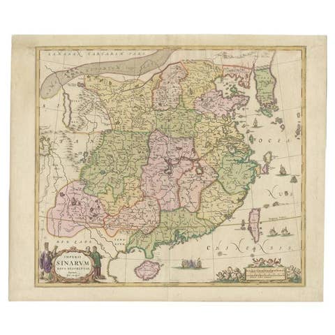
Antique Map of China and Korea incl Formosa and Hainan, by Janssonius, ca.1650
1650 · € 2 950

Antique Map of China, Also Depicting Formosa 'Taiwan' and Part of Korea, c.1840
1840 · € 240
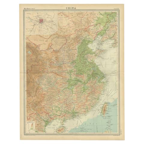
Original Old Map of Eastern China, Also Depicting Taiwan 'Formosa', 1922
1922 · € 220

Antique Map of Three Chinese Cities in Chensi and Koei Tcheou, c.1758
1758 · € 280

Antique Map of Cities Nanking and Suzhou in the Jiangsu Region, China, c.1758
1758 · € 240
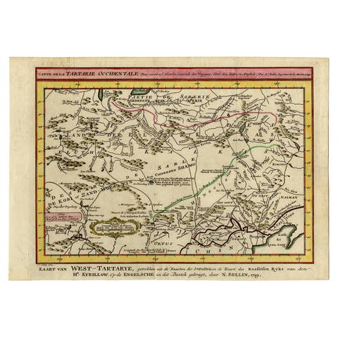
Antique Map of Eastern Tartary and the Gobi Desert by Van Schley, 1758
1758 · € 350
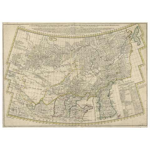
Rare Hand-Colored Antique Map of Tartary, China and Korea, ca.1741
1741 · € 2 750
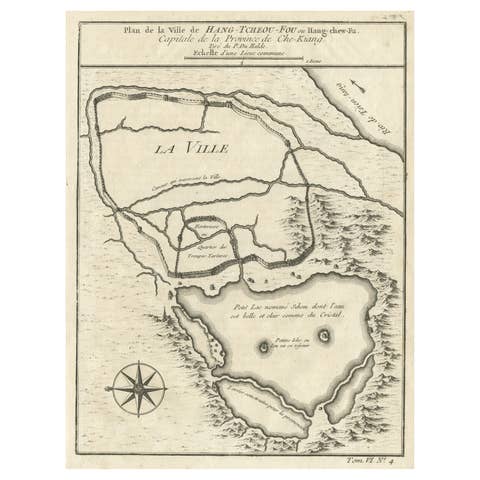
Antique Map of Hangzhou, Capital of the Province of Zheijang, China, 1748
1748 · € 340
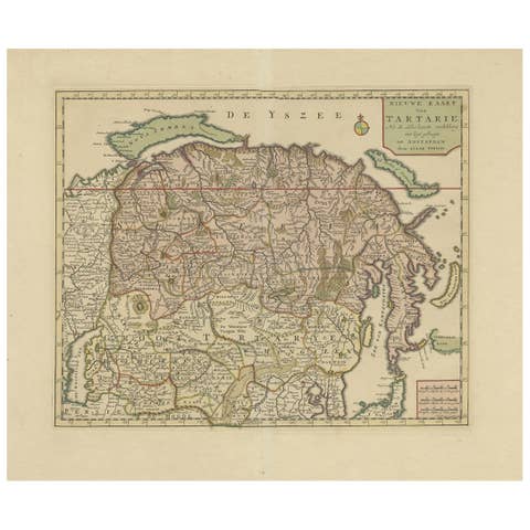
Antique Map of Siberia and Chinese Tartary, Incl Nova Zembla, ca.1732
1732 · € 860
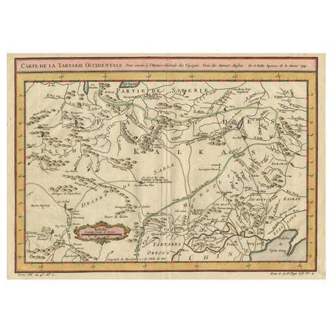
Old Hand-Colored Map of Western Tartary with Focus on Present-Day Mongolia, 1749
1749 · € 440

Antique Map of Part of the Chinese Coast, Explored by the French, Ca.1852
1852 · € 850
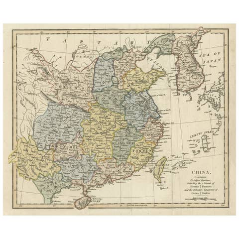
Original Old China Map, From Korea and the Sea of Japan to Teypin Island, 1803
1803 · € 550