Antique Maps of France
158 original sheets
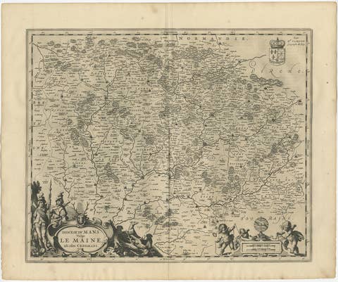
Antique Map of the Maine Region by Janssonius, 1657
1657 · € 440
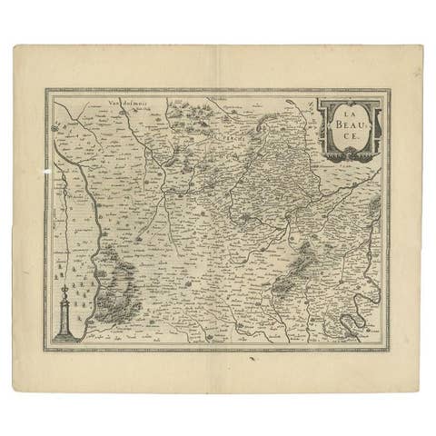
Antique Map of the Region of Beauce in France by Janssonius, c.1650
1650 · € 410
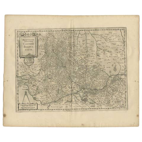
Antique Map of the Region of Beauvais by Janssonius, 1657
1657 · € 320
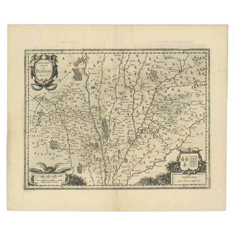
Antique Map of the Region of Blois by Janssonius, c.1650
1650 · € 313
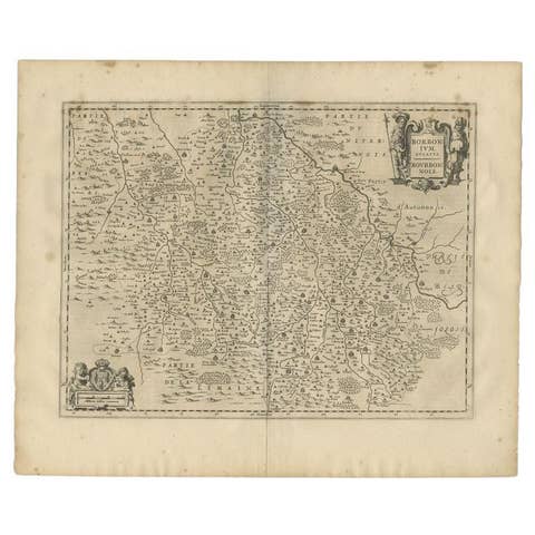
Antique Map of the Region of Bourbon by Janssonius, 1657
1657 · € 413
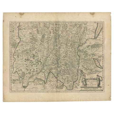
Antique Map of the Region of Bresse by Janssonius, 1657
1657 · € 320
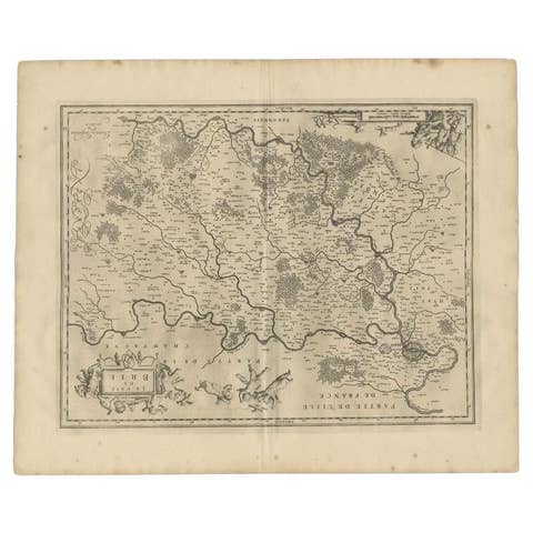
Antique Map of the Region of Brie by Janssonius, 1657
1657 · € 343
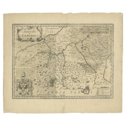
Antique Map of the Region of Cambrai in France, c.1630
1630 · € 440
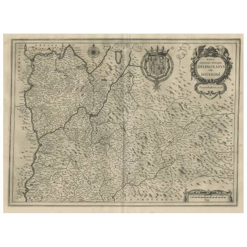
Antique Map of the Region of Dauphiné by Janssonius, 1657
1657 · € 480
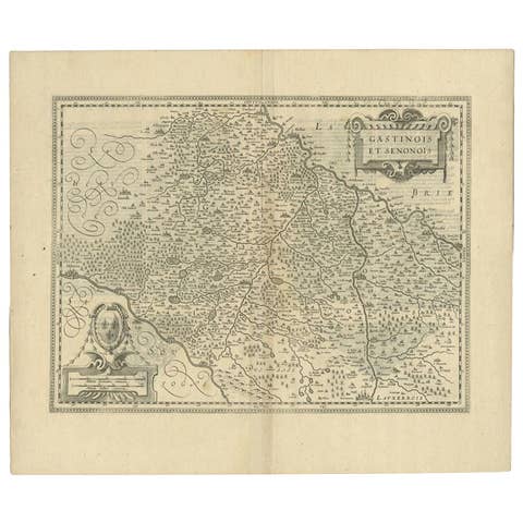
Antique Map of the Region of Étampes and Sens by Janssonius, c.1650
1650 · € 355
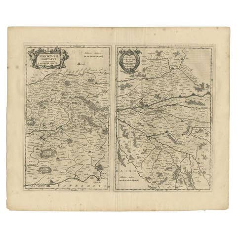
Antique Map of the Region of Perce and Blois by Janssonius, 1657
1657 · € 343
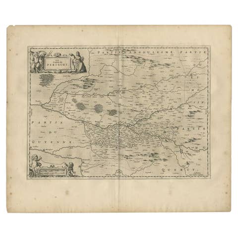
Antique Map of the Region of Périgord by Janssonius, 1657
1657 · € 354
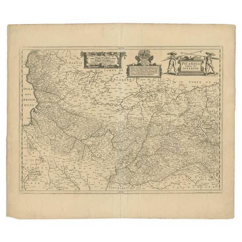
Antique Map of the Region of Picardy by Janssonius 'c.1650'
1650 · € 297
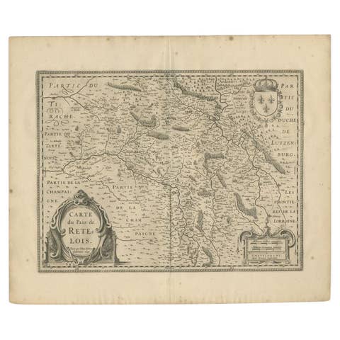
Antique Map of the Region of Rethel by Janssonius, 1657
1657 · € 320
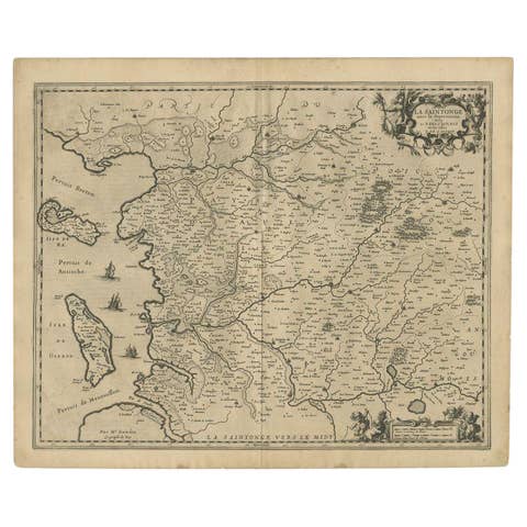
Antique Map of the Region of Saintonge by Janssonius, 1657
1657 · € 425
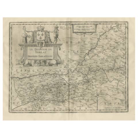
Antique Map of the Region of Sarlat in France by Janssonius, 1657
1657 · € 508
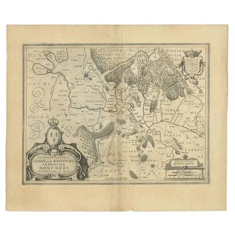
Antique Map of the Region of Sedan and Doncheri in France by Janssonius, c.1650
1650 · € 660
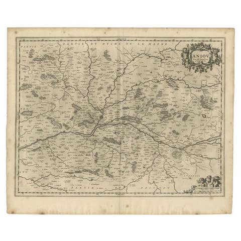
Antique Map of the Region of the Loire Valley by Janssonius, 1657
1657 · € 343
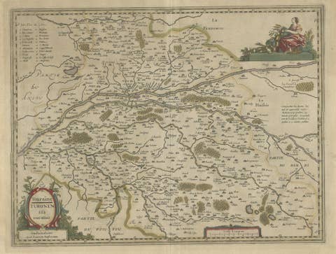
Antique Map of the Region of Touraine in France by Janssonius, 1657
1657 · € 460
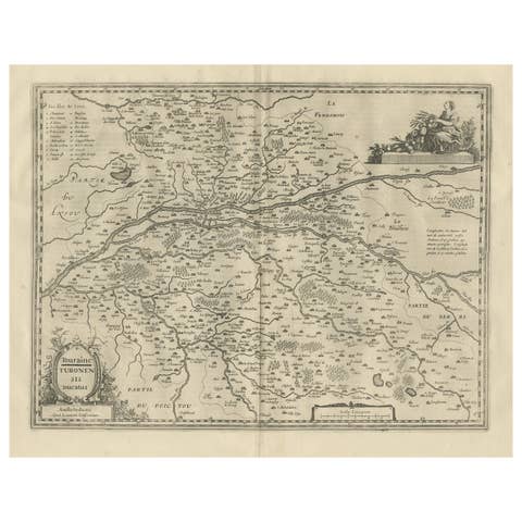
Antique Map of the Region of Touraine, France by Janssonius, 1657
1657 · € 590
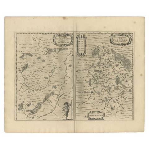
Antique Map of the Region of Vermandois and Cappelle, France by Janssonius, 1657
1657 · € 670
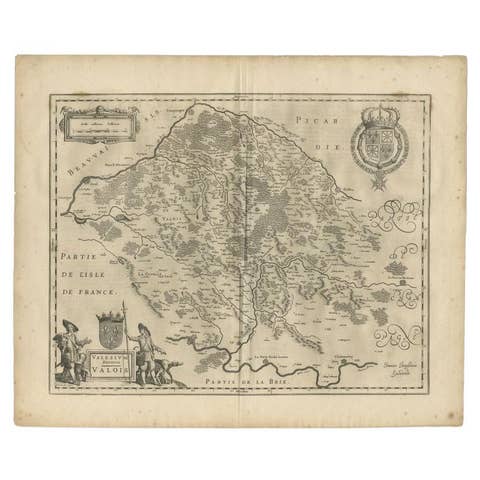
Antique Map of the Seine-et-Marne / Champagne Region by Janssonius, 1657
1657 · € 310
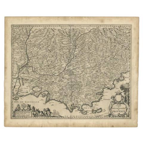
Original Antique Map of the Southern Coast of France by Janssonius, 1657
1657 · € 720
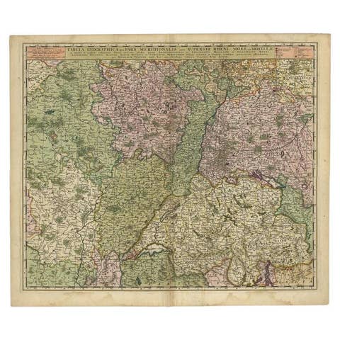
Antique Map of the Rhine and Moselle River Region in Germany and France, c.1680
1680 · € 550
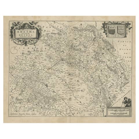
Antique Map of the Rethelois or Rethel Region in France by Janssonius, ca.1650
1650 · € 276

Antique Map of the Southern Lorraine Region by Mercator, c.1625
1625 · € 163
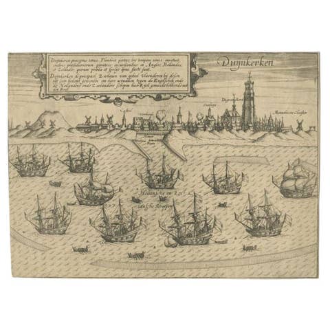
Antique Plan of Duinkerke or Dunkirk in France by Guicciardini, 1612
1612 · € 151
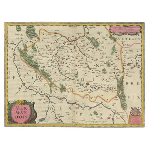
Antique Map of the Vermandois Region 'Picardy' in France by Janssonius, C.1640
1640 · € 440
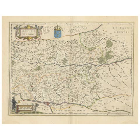
Lyonnais, Beaujolais, Forez, Mâconnais: A 1644 Depiction of France's Provinces
1644 · € 480

Mapping the Heart of France: Willem Blaeu's 17th Century Île-de-France, ca.1650
1650 · € 380

Antique Map of Lotharingia (Lorraine) by Danckerts, c. 1700 – Hand-Colored
1700 · € 940

Beautiful 17th Century Map of Paris and Isle de France by Templeux, c.1650
1650 · € 640
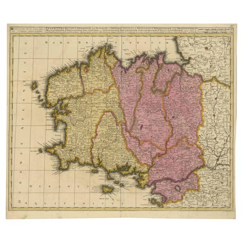
Map of Brittany and Western France by Gerard Valk, circa 1690
1690 · € 770
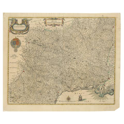
Map of Languedoc by Willem Blaeu, Antique French Copper Engraving 1635
1635 · € 950
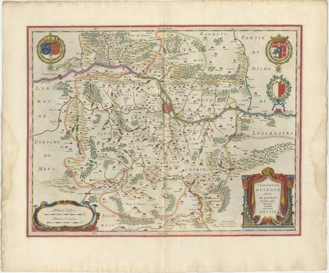
Metz, Lorraine & Verdun Antique Blaeu Atlas Map, France, 1642
1642 · € 1 950
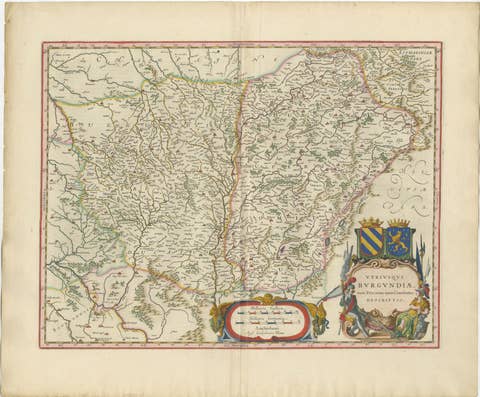
Burgundy Antique Blaeu Atlas Map of Burgundy and Franche-Comté, 1642
1642 · € 2 450
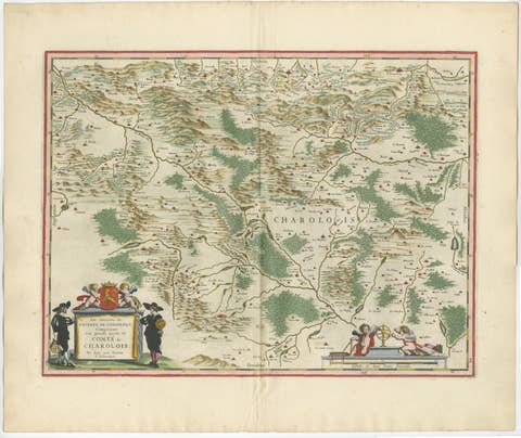
Charolais, Burgundy Antique Blaeu Atlas Map of France, 1642
1642 · € 2 450
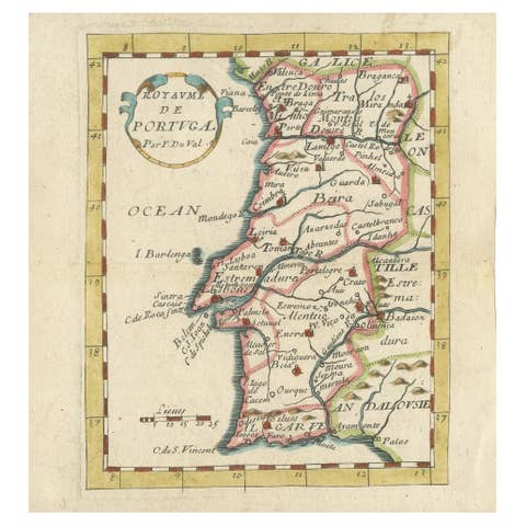
Antique Miniature Map of Portugal by Pierre Du Val, Paris - Hand-Colored ca.1680
1680 · € 470
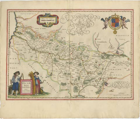
Decorative Blaeu Map of Picardy with Costume Figures, France 1642
1642 · € 3 450

Antique Blaeu Map Vermandois & La Capelle France, Dual Sheet - 1642
1642 · € 4 250
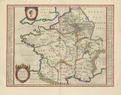
Caesar’s Gallia Antiqua – Blaeu Map of Ancient France, c.1642
1642 · € 5 950
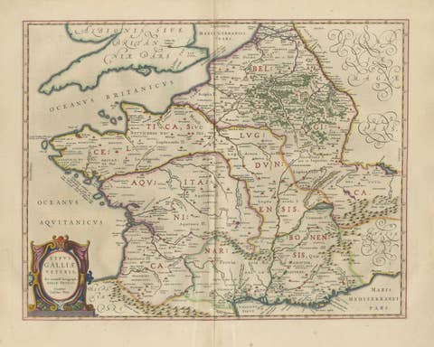
Caesar’s Gallia Veteris – Blaeu Map of Ancient Gaul, France c.1642
1642 · € 5 500
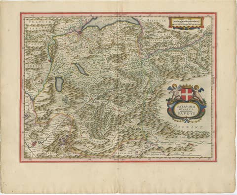
Blaeu Map of Savoy & Alps, Geneva Piedmont France Italy, c.1642
1642 · € 4 750
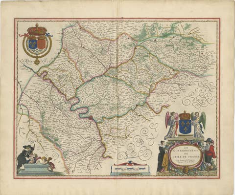
Blaeu Map of Île-de-France – Paris Region with Royal Arms, c.1642
1642 · € 3 450
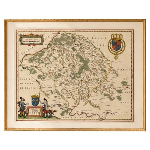
Antique Map of Valois, Picardy France – Blaeu Hand Colored c.1642
1642 · € 3 950
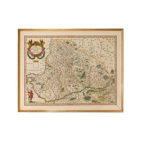
Antique Map Beauvais, Picardy France – Blaeu Hand Colored c.1642
1642 · € 3 450
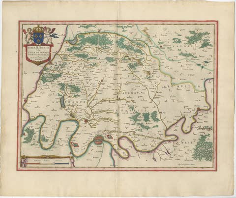
Antique Map Paris & Île-de-France – Blaeu Hand Colored c.1642
1642 · € 4 450
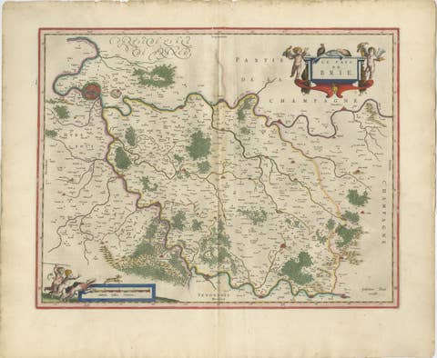
Antique Map Brie & Champagne France, Blaeu c.1642 – Paris Region
1642 · € 4 500