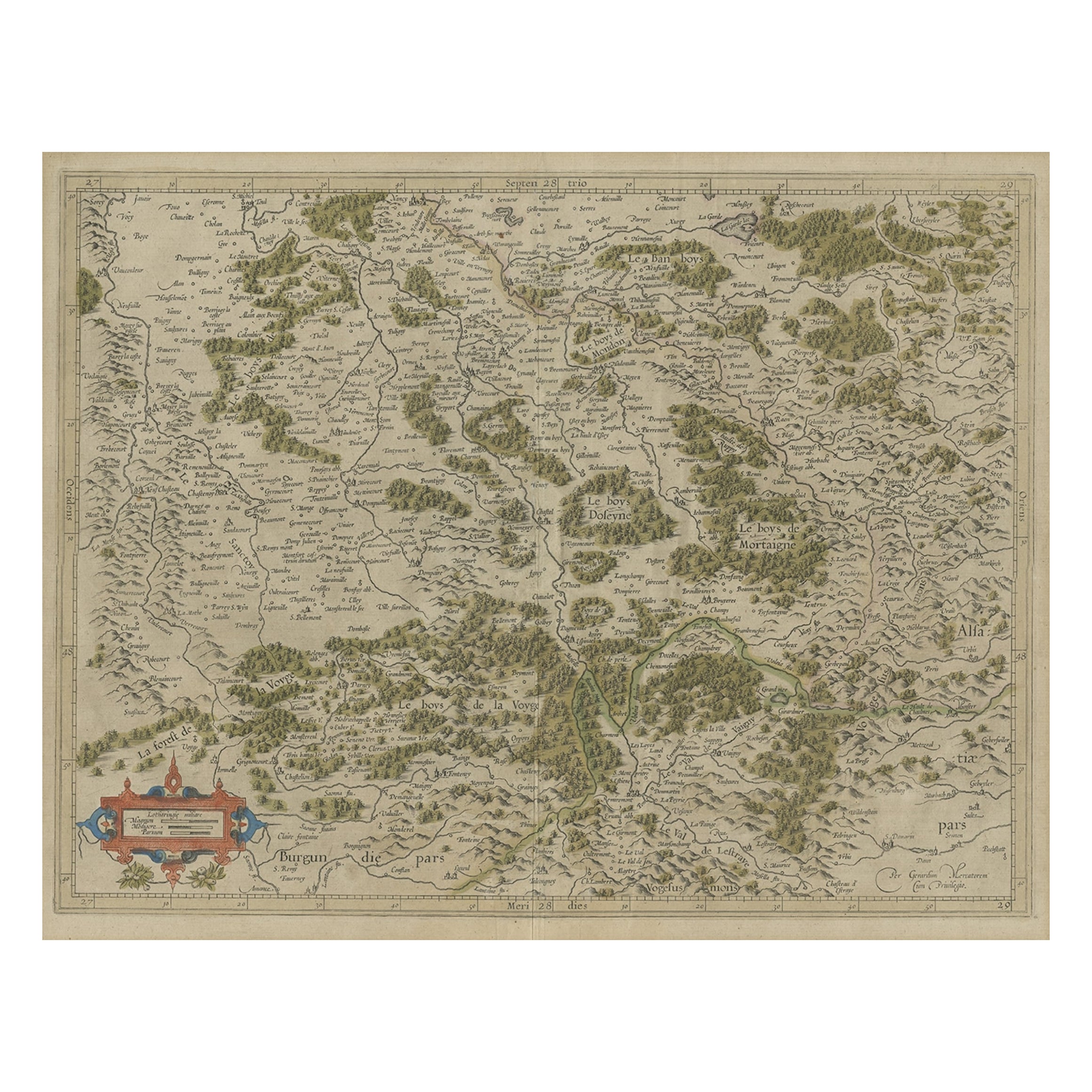
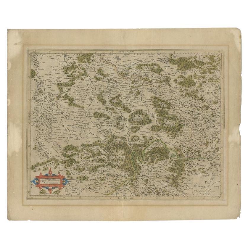
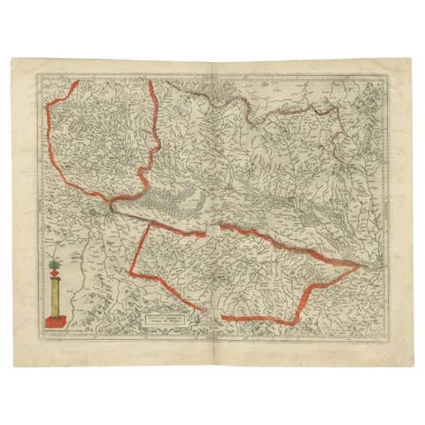
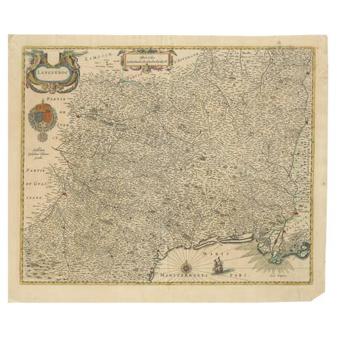
Antique Map of the Southern Lorraine Region by Mercator, c.1625
€ 163
Original antique · The actual sheet photographed · Certificate of authenticity on request · Sold unframed · Worldwide shipping from € 15 (rates)
Date
1625
Mapmaker / artist
Gerard Mercator
Sheet size
46 × 56 cm (18.1 × 22.0 in)
Condition
Fair
Reference
BG-12389-3
Condition
Repaired: Repairs on folding line and margins. Wear consistent with age and use. Fair, age-related toning. Latin text on verso. Repairs on folding line and margins. Also defects/ wear in image. Please review the images for further condition details.
About this sheet
Antique map titled 'Lotharingiae Ducatus'. Old map of the southern portion of the Lorraine region, France. Lorraine is a cultural and historical region in north-eastern France, now located in the administrative region of Grand Est. Lorraines name stems from the medieval kingdom of Lotharingia.
Artists and Engravers: Gerard Mercator (Kremer) was born in Rupelmonde in Flanders and studied in Louvain. He drawn his first map in 1537 and became a cartographer and globe maker. In 1552 he moved to Duisburg, Germany where he published his famous 18-sheet world map in 1569 with his own new projection, today called Mercator projection. Later he decided to publish a new edition of Ptolemy's Geographia. Followed by his major work, a 3 volume collection of maps to which the word "Atlas" was applied the first time. The first volume was published 1585, followed by the second in 1589 and the third one after his death in 1595 by his son Rumold. A second edition of all three parts was published 1602. 1604 Jodocus Hondius acquired the plates and published several edition together with his sons Jodocus II and Henricus until 1633. More editions followed until 1666 by Janssonius who was in partnership with Henricus. Some of the plated where also used in W.J. Blaeu in 1630.
Condition: Fair, age-related toning. Latin text on verso. Repairs on folding line and margins. Also defects/ wear in image, please study image carefully. Date: c.1625 Overall size: 56 x 46 cm. Image size: 47 x 36 cm.
We sell original antique maps to collectors, historians, educators and interior decorators all over the world. Our collection includes a wide range of authentic antique maps from the 16th to the 20th centuries. Buying and collecting antique maps is a tradition that goes back hundreds of years. Antique maps have proved a richly rewarding investment over the past decade, thanks to a growing appreciation of their unique historical appeal. Today the decorative qualities of antique maps are widely recognized by interior designers who appreciate their beauty and design flexibility. Depending on the individual map, presentation, and context, a rare or antique map can be modern, traditional, abstract, figurative, serious or whimsical. We offer a wide range of authentic antique maps for any budget.