About this sheet
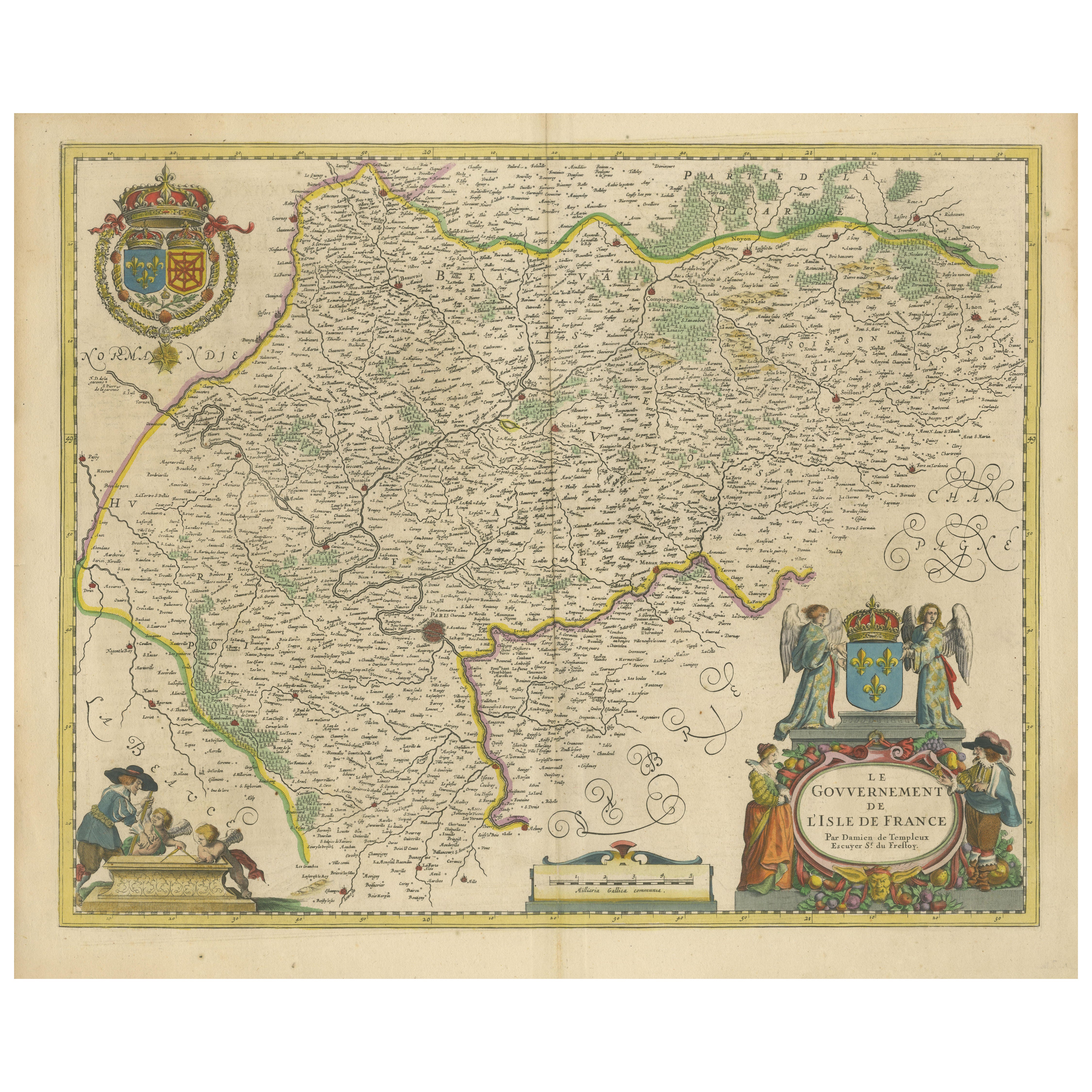
Map of Isle de France by D. de Templeux, ca. 1650, Hand-Colored and Decorative
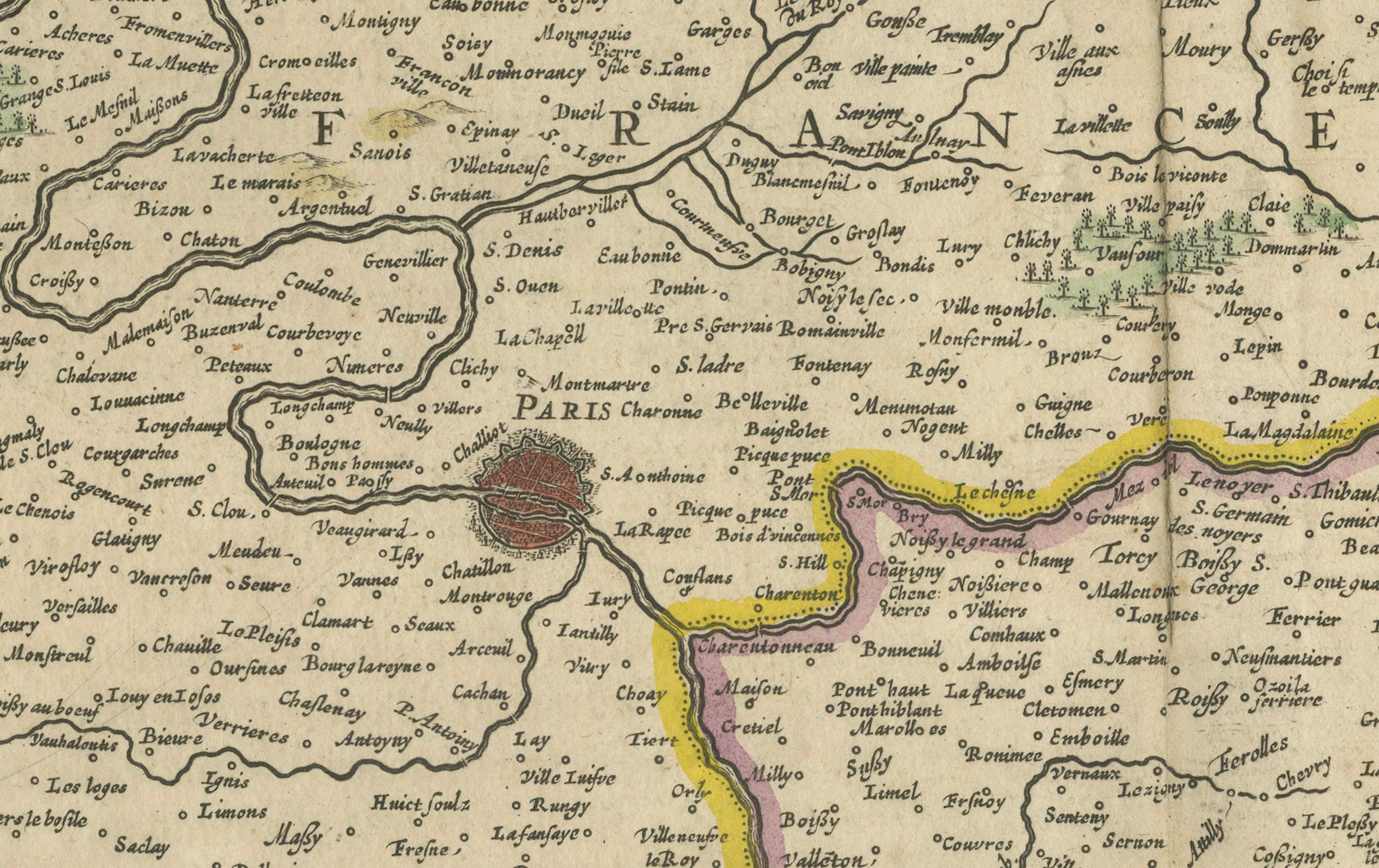
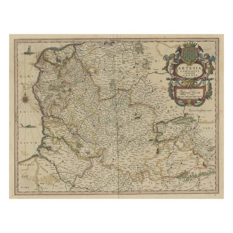
This richly detailed antique map titled *Le Gouvernement de L'Isle de France* was engraved by Daniel de Templeux and published circa 1650. It provides an intricate view of the historic French province of Île-de-France—home to the city of Paris and the political heart of France from the medieval period through the early modern era. The map is a masterful example of mid-17th-century French cartography, hand-colored and printed on laid paper from a copperplate engraving.
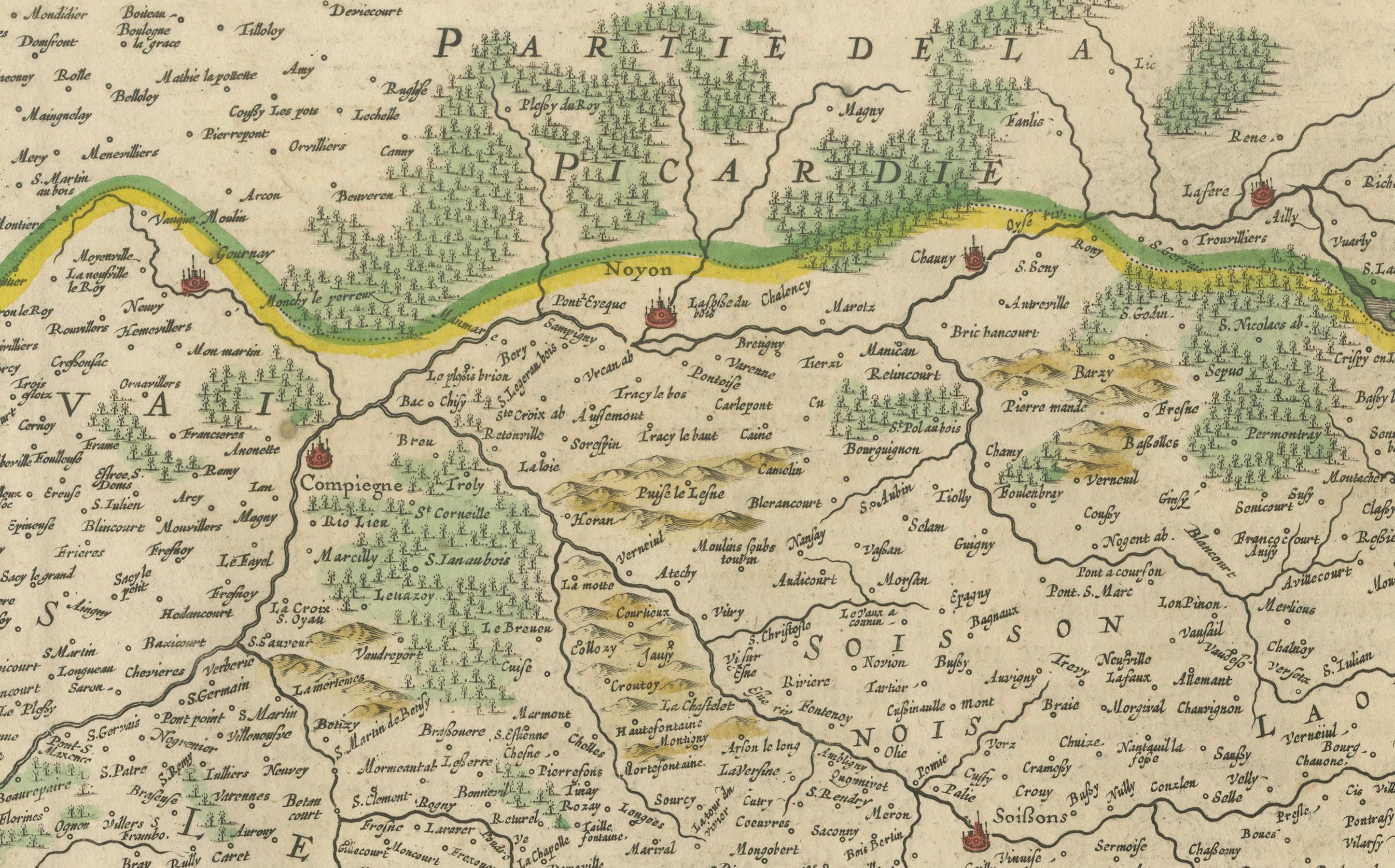
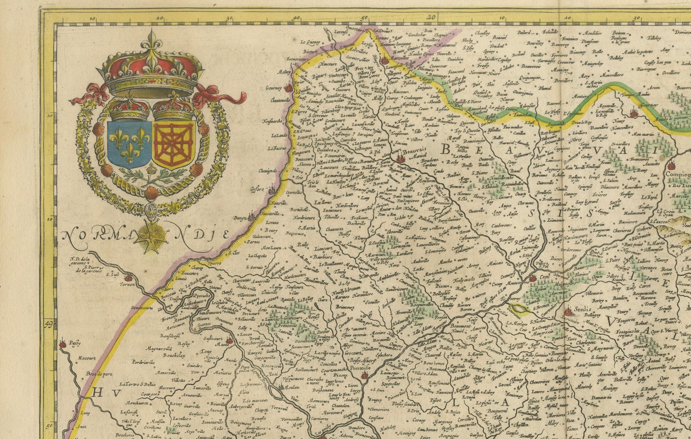
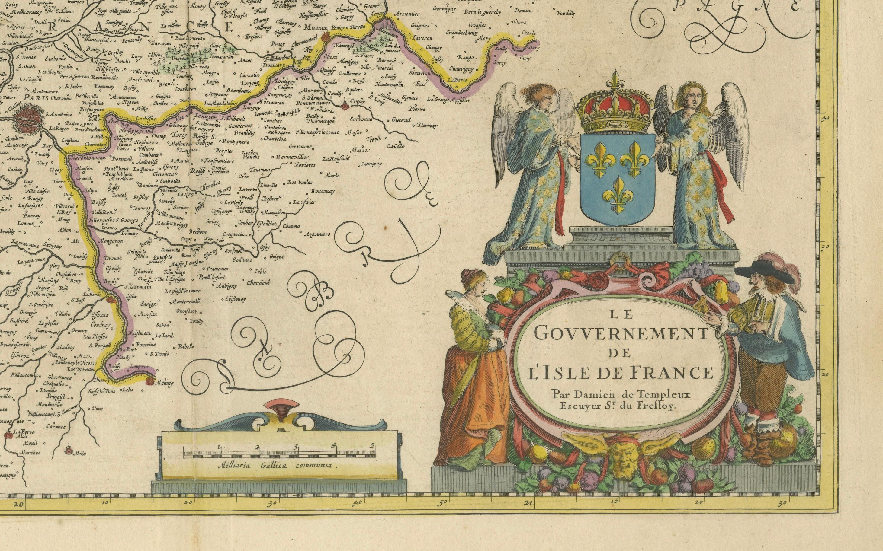
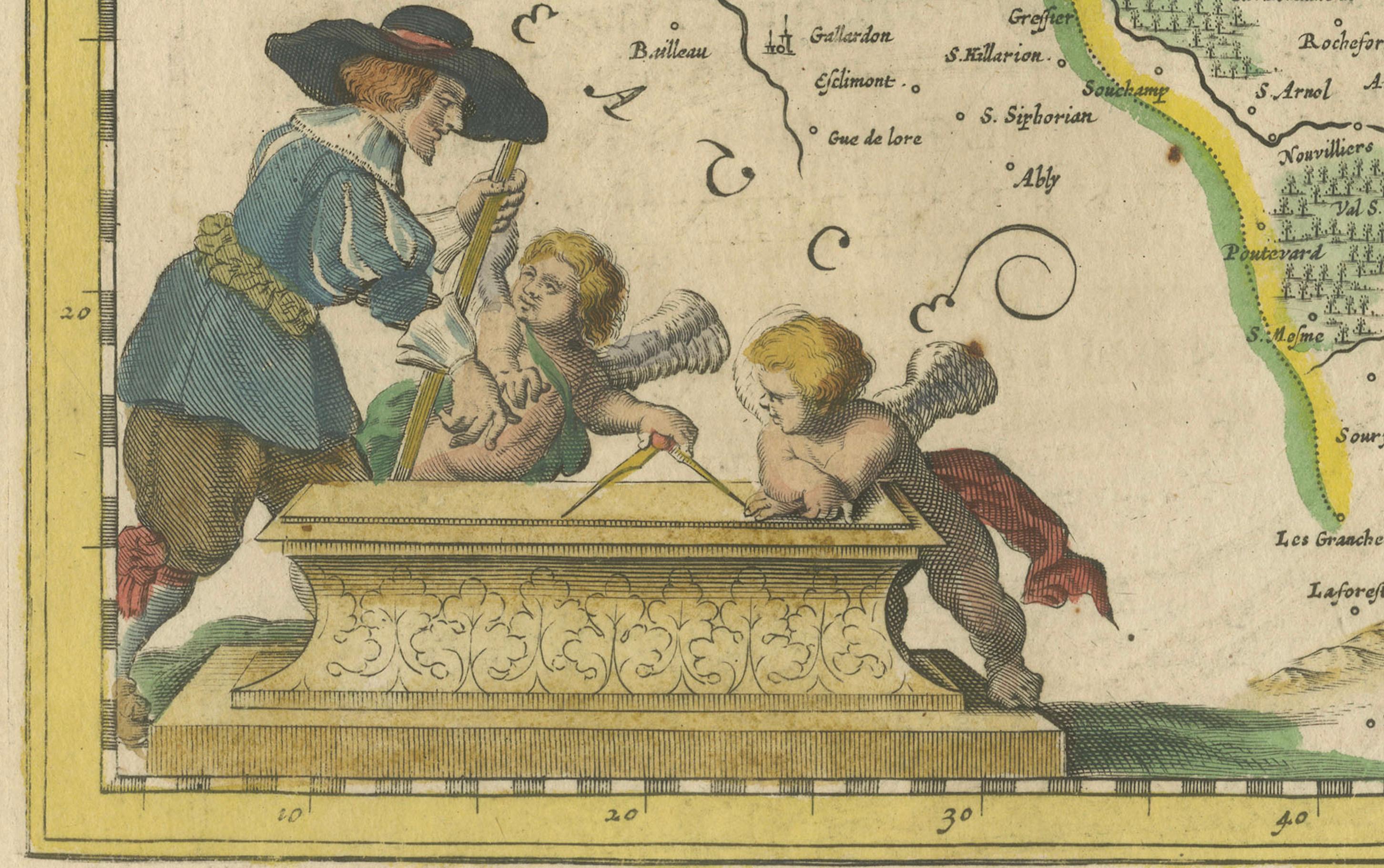
Covering the Île-de-France region and parts of neighboring provinces such as Normandy, Champagne, Picardy, and Orléanais, the map shows an elaborate network of towns, rivers, and forests. Paris, the capital, is prominently marked in the center of the map. The geography is framed by a vibrant, decorative cartouche in the lower right, supported by angelic and allegorical figures, and a large royal coat of arms at the top left, celebrating the sovereignty and symbolism of the French monarchy.
Daniel de Templeux, a lesser-known but talented engraver, created this map for inclusion in composite atlases of French territories. His work stands out for its artistic embellishments and fine linework, characteristics highly prized by collectors today. The baroque visual language of this map—with putti, fruit garlands, and royal symbolism—makes it as much a work of art as a historical document.
This map captures a period of French history when Île-de-France was central to royal administration and military strategy, long before the revolutionary reorganization into modern départements. It appeals to anyone with a historical interest in Paris, royal France, or decorative cartography.
Condition Report:
Good condition. Original hand coloring still vivid. Light overall age toning (slightly browned), particularly near margins, consistent with age. Centerfold as issued, with no repairs. Paper remains stable.
Framing Tips:
This map deserves a fine frame—gilded, ebonized, or dark walnut wood—paired with a light beige or parchment-colored mat to draw attention to its soft tones and baroque flourishes. A museum-quality frame with UV-filtering glass will help preserve its colors and prevent further toning. Float mounting is an option to showcase the full plate and margins.
Keywords:
Isle de France antique map, Paris region map 1650, French royal map, Île-de-France map Templeux, 17th century map France, decorative baroque map, antique map of Paris, map with royal coat of arms, hand-colored French map, cartography of Louis XIV France, Daniel de Templeux engraver, early map of Paris region, collectible French provinces map, copper engraved Paris map, French monarchy cartographic history.