Maps & PrintsBartele Gallery · Langweer
Home / Antique Maps / Europe / Western Europe / Germany

Germany · 17th century

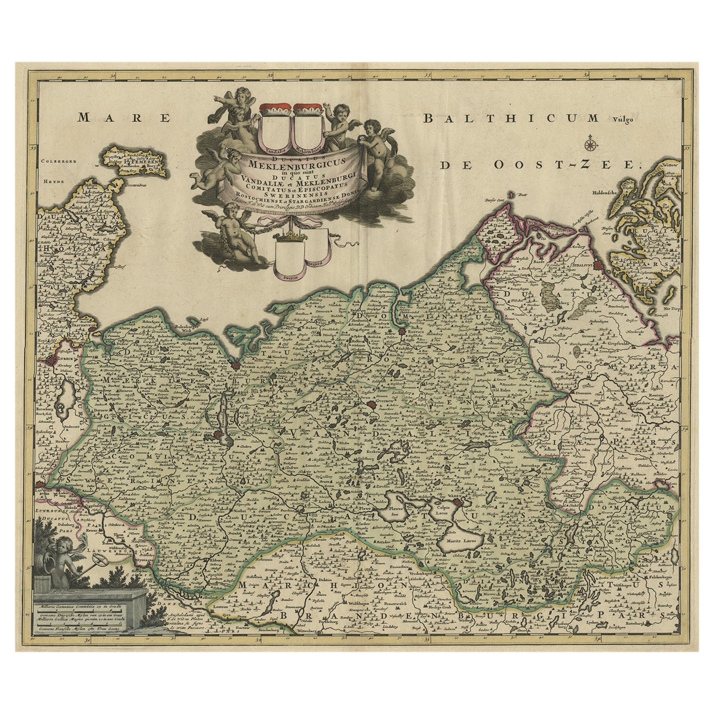
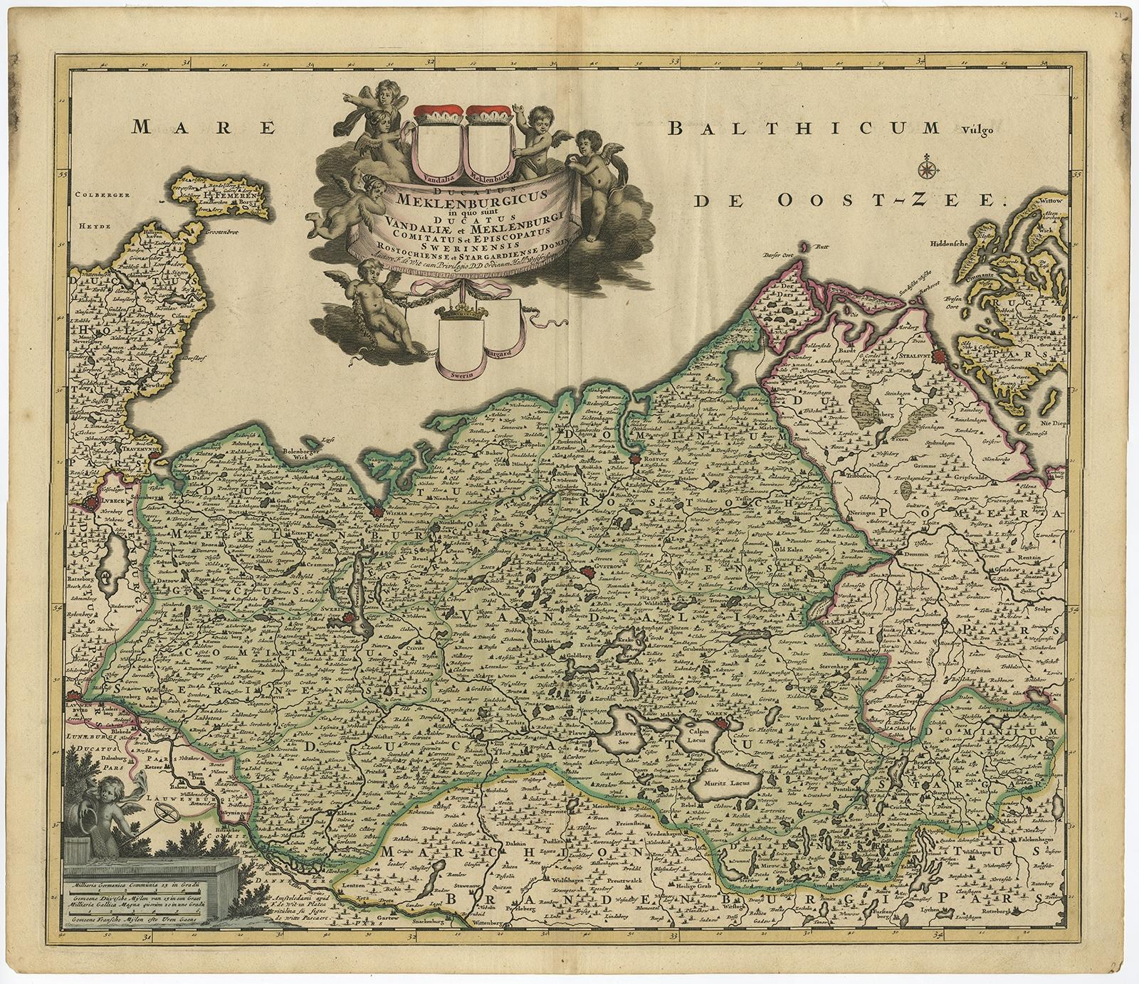
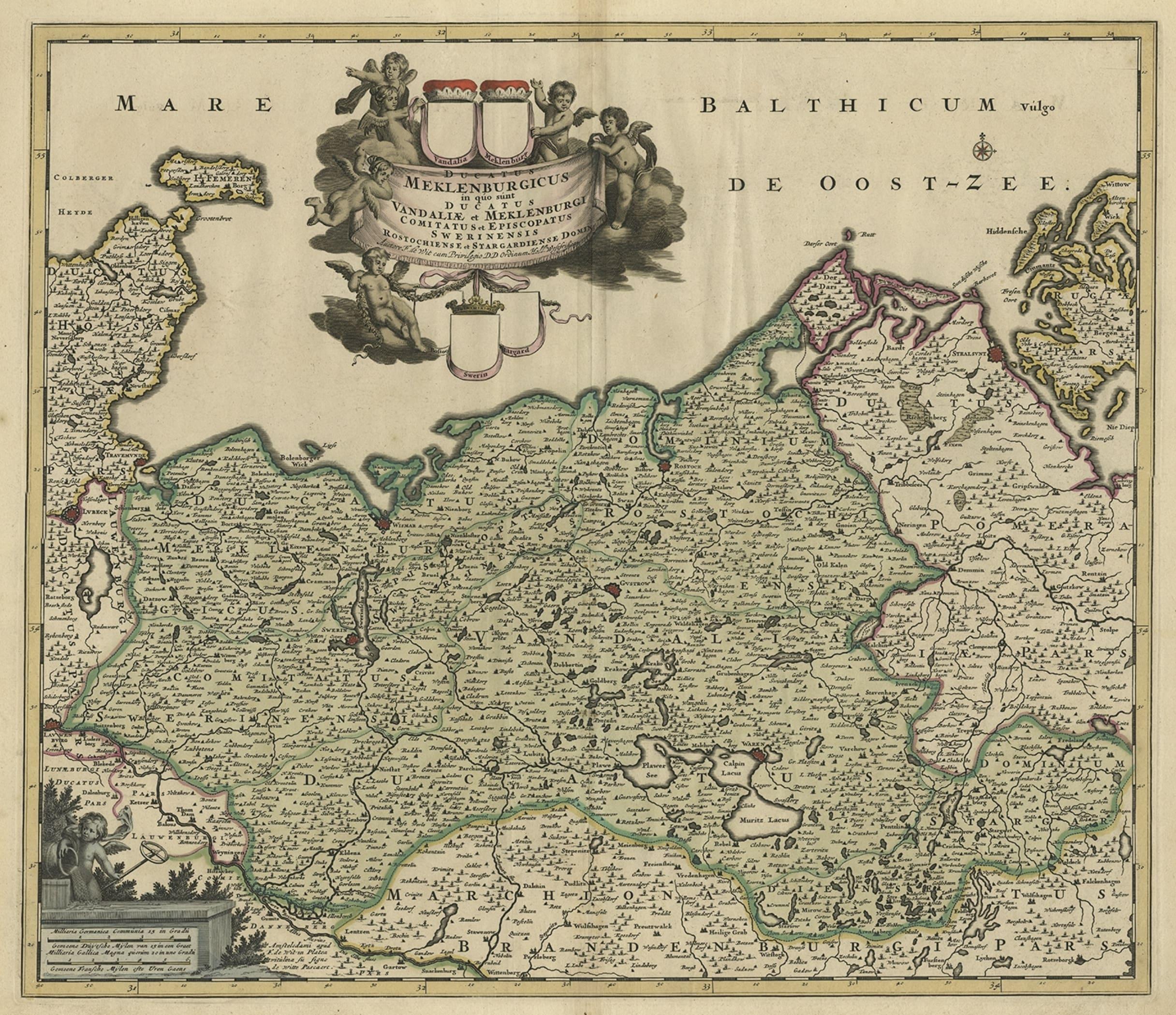
A Handsome & Detailed Map of the Duchy of Mecklenburg & Pomerania, Germany, 1680

€ 740

Original antique · The actual sheet photographed · Certificate of authenticity on request · Sold unframed · Worldwide shipping from € 15 (rates)

Date
1680
Sheet size
53.4 × 61.5 cm (21.0 × 24.2 in)
Condition
Good
Reference
PCT-58031

Condition

Edges browned and a few spots in the margins. Vertical creases left and right of middle fold. Small soft crease bottom right corner. Original middle fold as issued. General age-related toning and/or occasional minor handling defects.
About this sheet

Antique map titled 'Ducatus Meklenburgicus in quo sunt Ducatus Vandaliae et Meklenburgi Ducatus et Comitatus Swerinensis.'

A handsome and detailed map of the Duchy of Mecklenburg and Pomerania in Germany. The map is fully engraved with towns, political boundaries, rivers, and forests. The map is embellished with a title cartouche with putti and coats of arms. Below another cartouche with scale and putti. Source unknown, to be determined.

Artists and engravers: Made by 'Frederick de Wit' after an anonymous artist. Frederik/Frederick de Wit (Amsterdam 1630-1706), was a famous engraver and publisher in Amsterdam. He acquired many of the printing plates of Blaeu and Janssonius when it came to auction. His map were very popular because of the quality of the engravings and the beautiful colouring. After his death his work was re-issued by Pieter Mortier and Covens & Mortier.

More from Germany

Ask about this sheet

A Handsome & Detailed Map of the Duchy of Mecklenburg & Pomerania, Germany, 1680
1680 · Ref. PCT-58031 · € 740
We reply by email, usually within one working day.