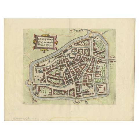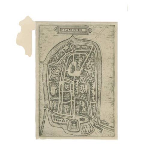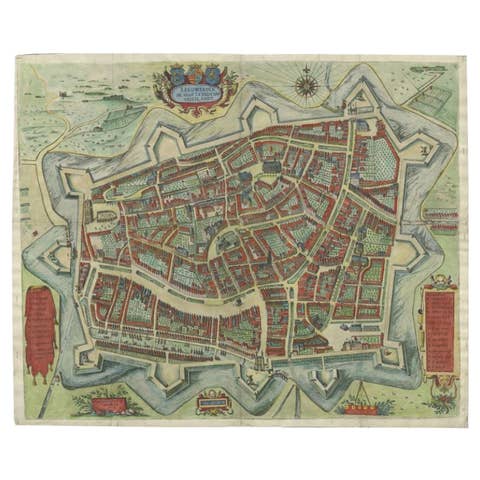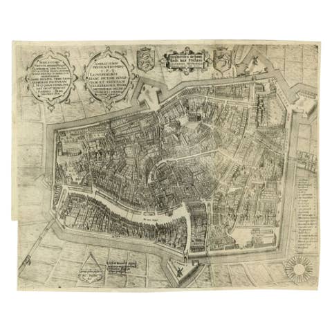
Town Plans of Friesland · 17th century
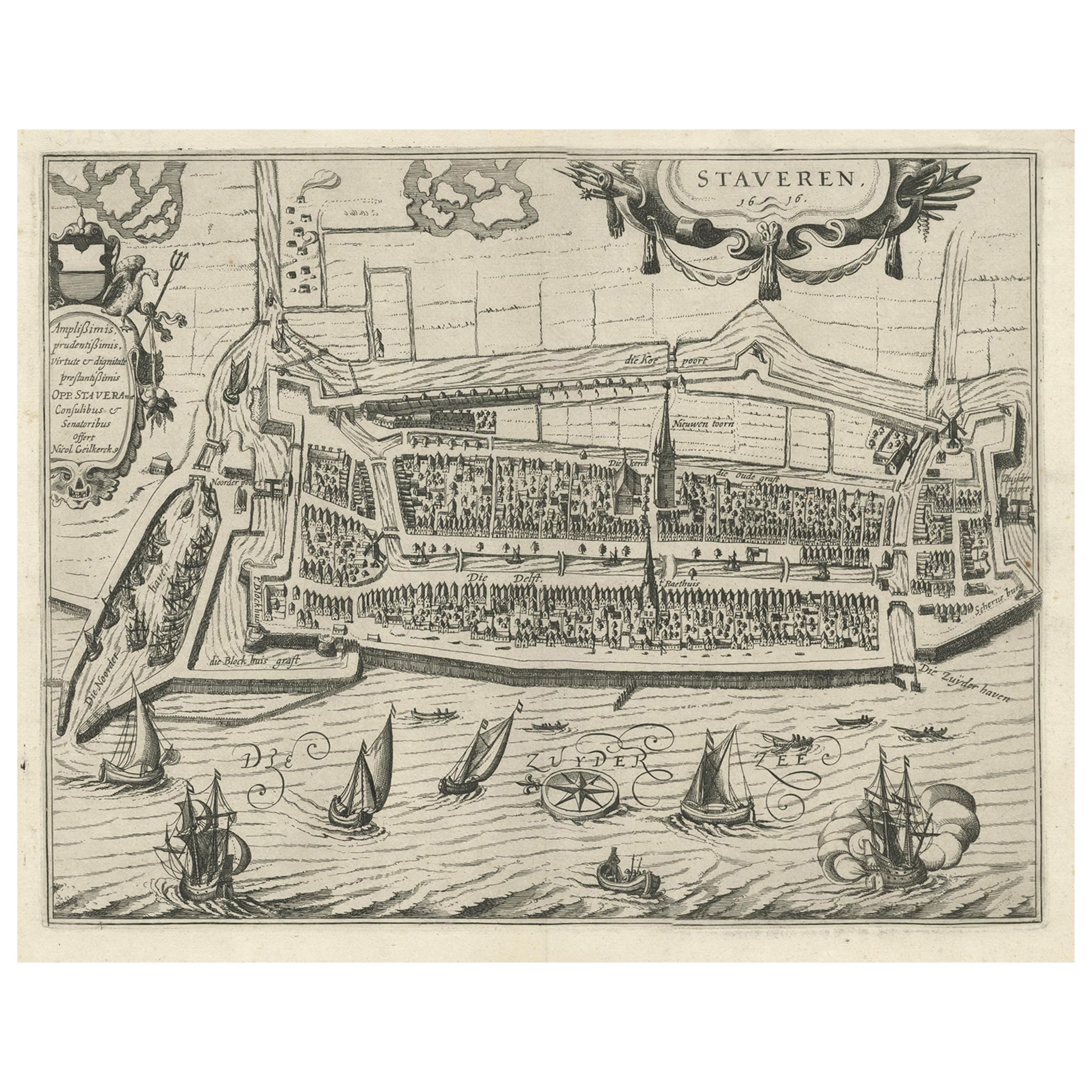
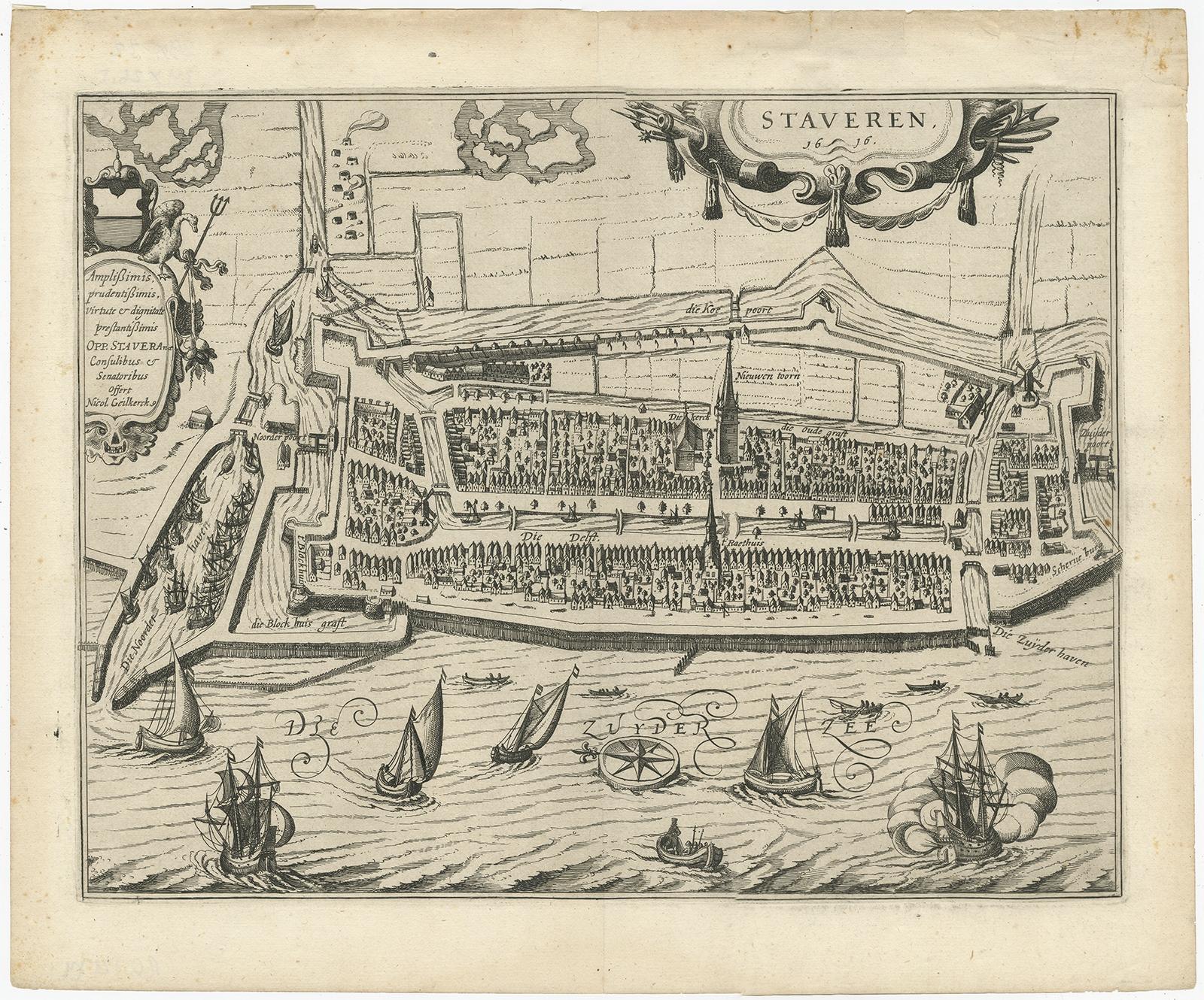
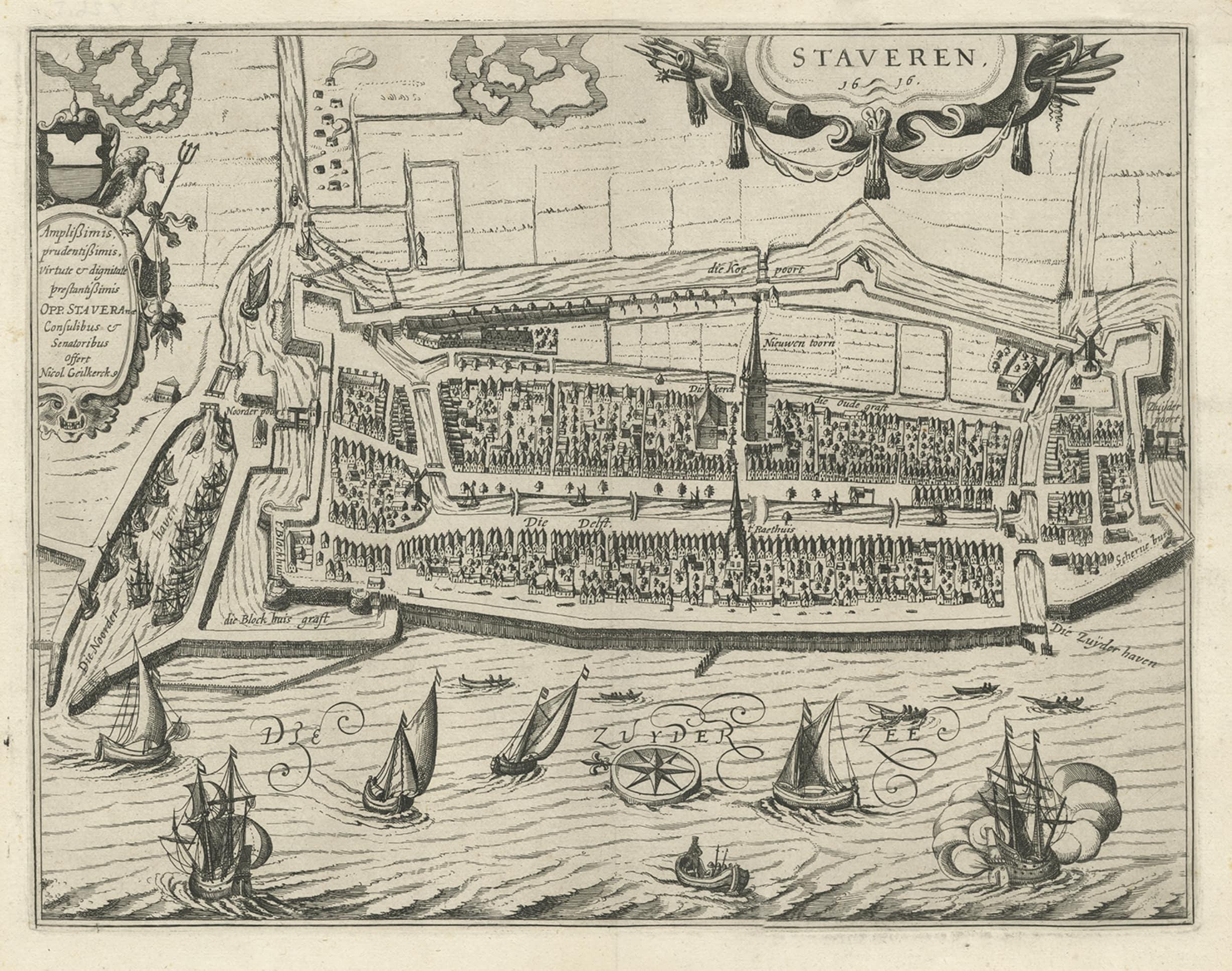
Rare Old Map of the City of Stavoren, Friesland, the Netherlands, 1616
€ 850
Original antique · The actual sheet photographed · Certificate of authenticity on request · Sold unframed · Worldwide shipping from € 15 (rates)
- Date
- 1616
- Sheet size
- 32 × 39 cm (12.6 × 15.4 in)
- Condition
- Good
- Reference
- BG-12174
What the condition grades mean
- Excellent
- Bright and clean, with no faults worth mentioning.
- Very good
- Only light signs of age, such as faint toning.
- Good
- Normal signs of age for a sheet of this period: toning, some foxing, small marks or neat old repairs.
- Fair
- Clear faults such as staining, tears or repairs, priced to match.
Every fault we see is written in the condition note, and the whole sheet is shown uncropped in the photos.
Condition
General age-related toning. Few tears in upper margin. Please review the images for further condition details.