Maps & PrintsBartele Gallery · Langweer
Home / Antique Maps / Europe / Western Europe / The Netherlands & Belgium

The Netherlands & Belgium

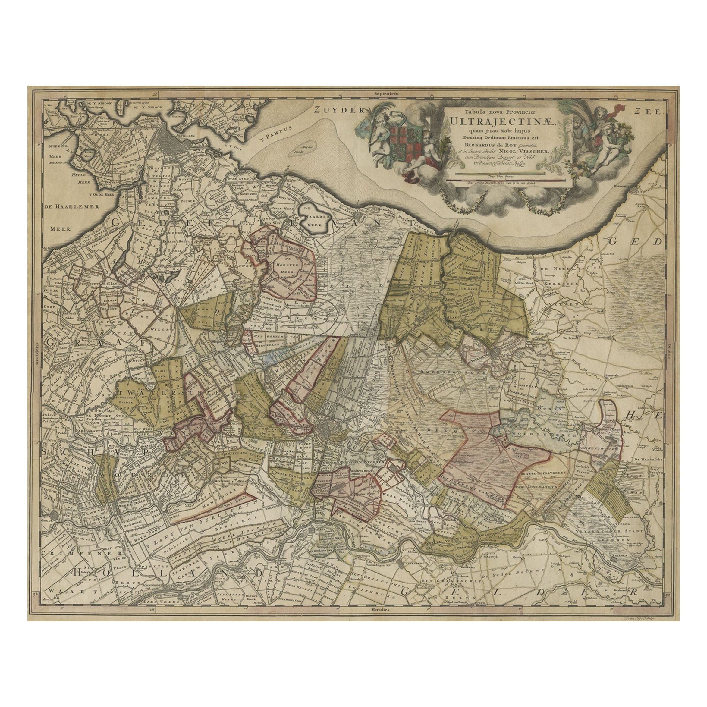
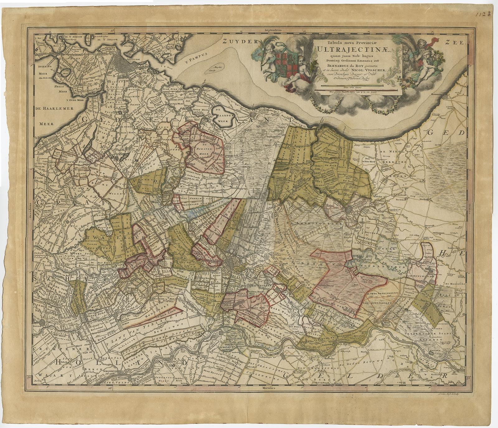
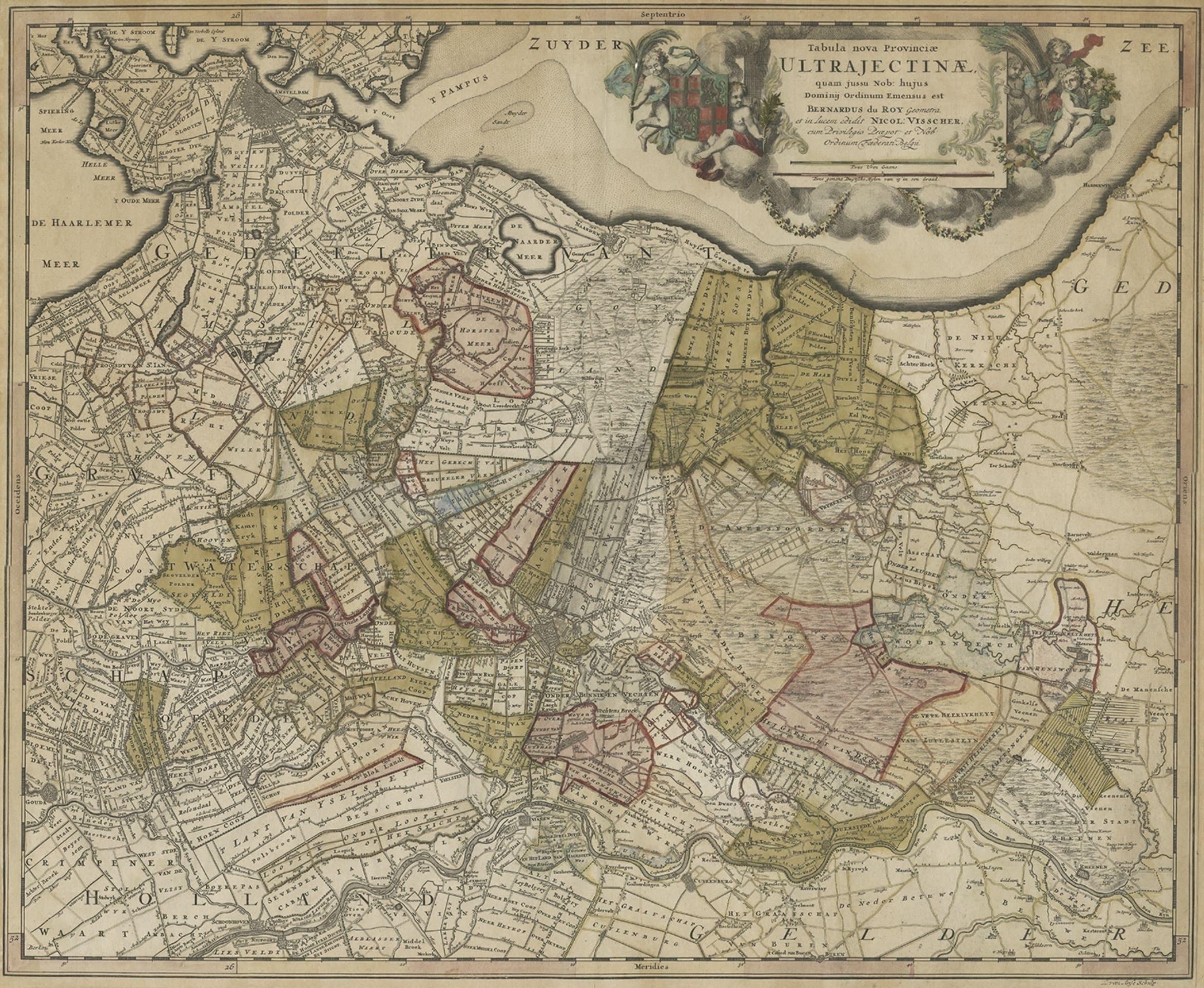
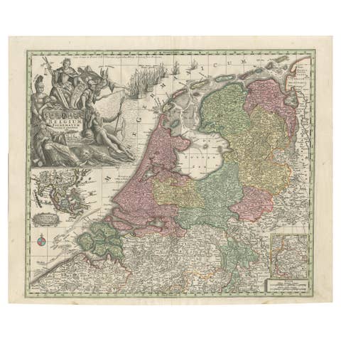
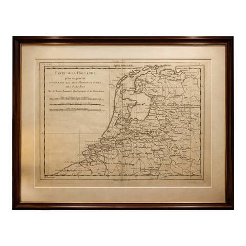
Original Colored Antique Map of Utrecht & Surroundings, The Netherlands, c1690

€ 890

Original antique · The actual sheet photographed · Certificate of authenticity on request · Sold unframed · Worldwide shipping from € 15 (rates)

Sheet size
53 × 61.5 cm (20.9 × 24.2 in)
Condition
Good
Reference
BG-11253

Condition

Age-related toning. Original, contemporary hand coloring. Please review the images for further condition details.
About this sheet

Antique map titled 'Tabula nova Provinciae Ultrajectinae quam jussu Nob: hujus Dominij Ordinum Emensus est Bernardus du Roy'.

Map of the region of Utrecht, The Netherlands. This map depicts many cities and most prominently Amsterdam at the top-left.

Artists and engravers: Engraved by L. van Anse. Published by N. Visscher.

More from The Netherlands & Belgium

Ask about this sheet

Original Colored Antique Map of Utrecht & Surroundings, The Netherlands, c1690
Ref. BG-11253 · € 890
We reply by email, usually within one working day.