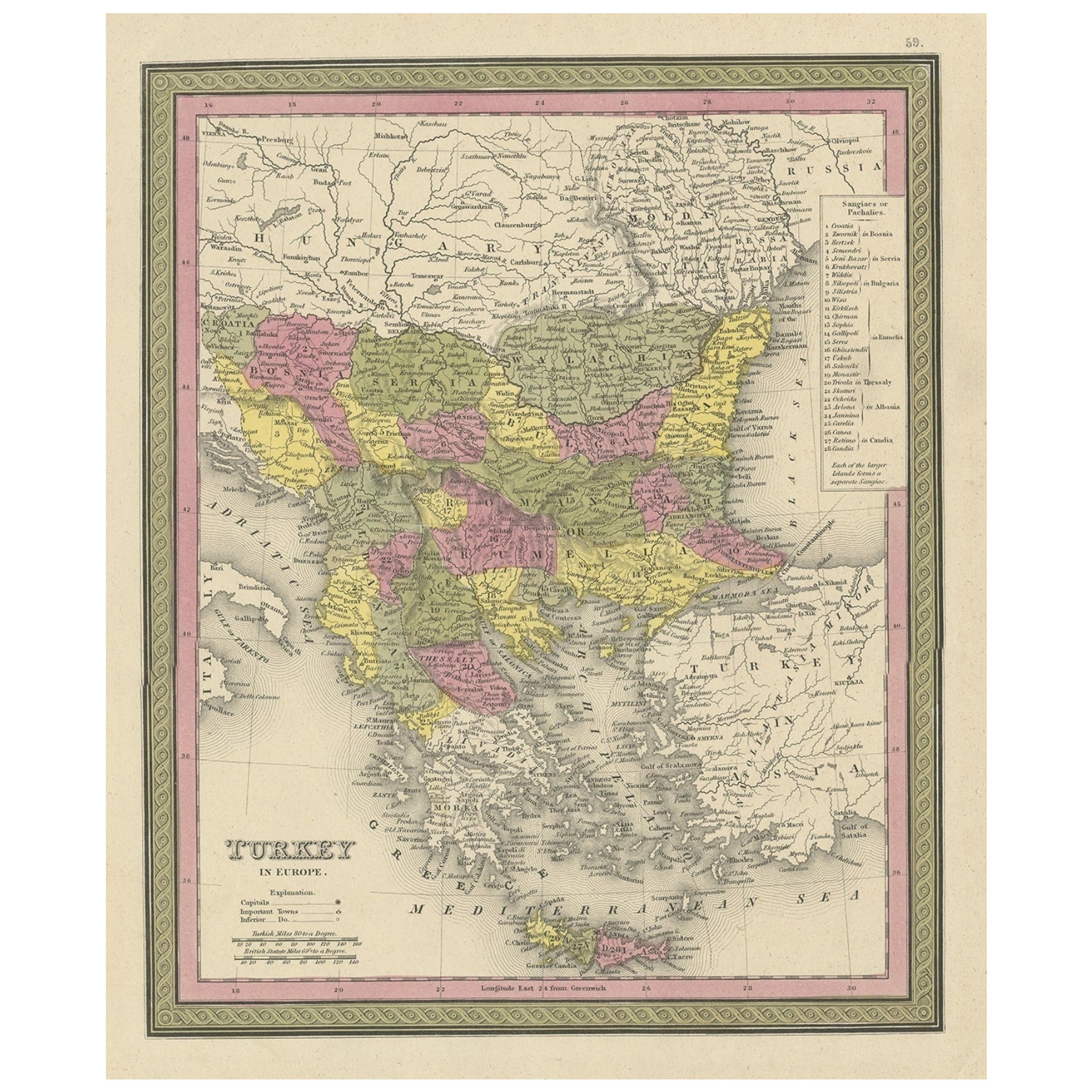
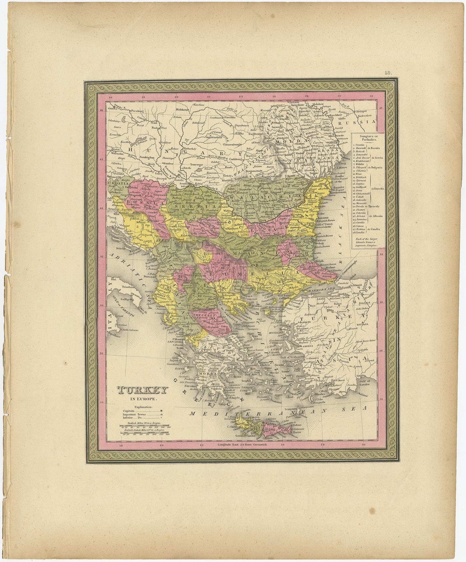
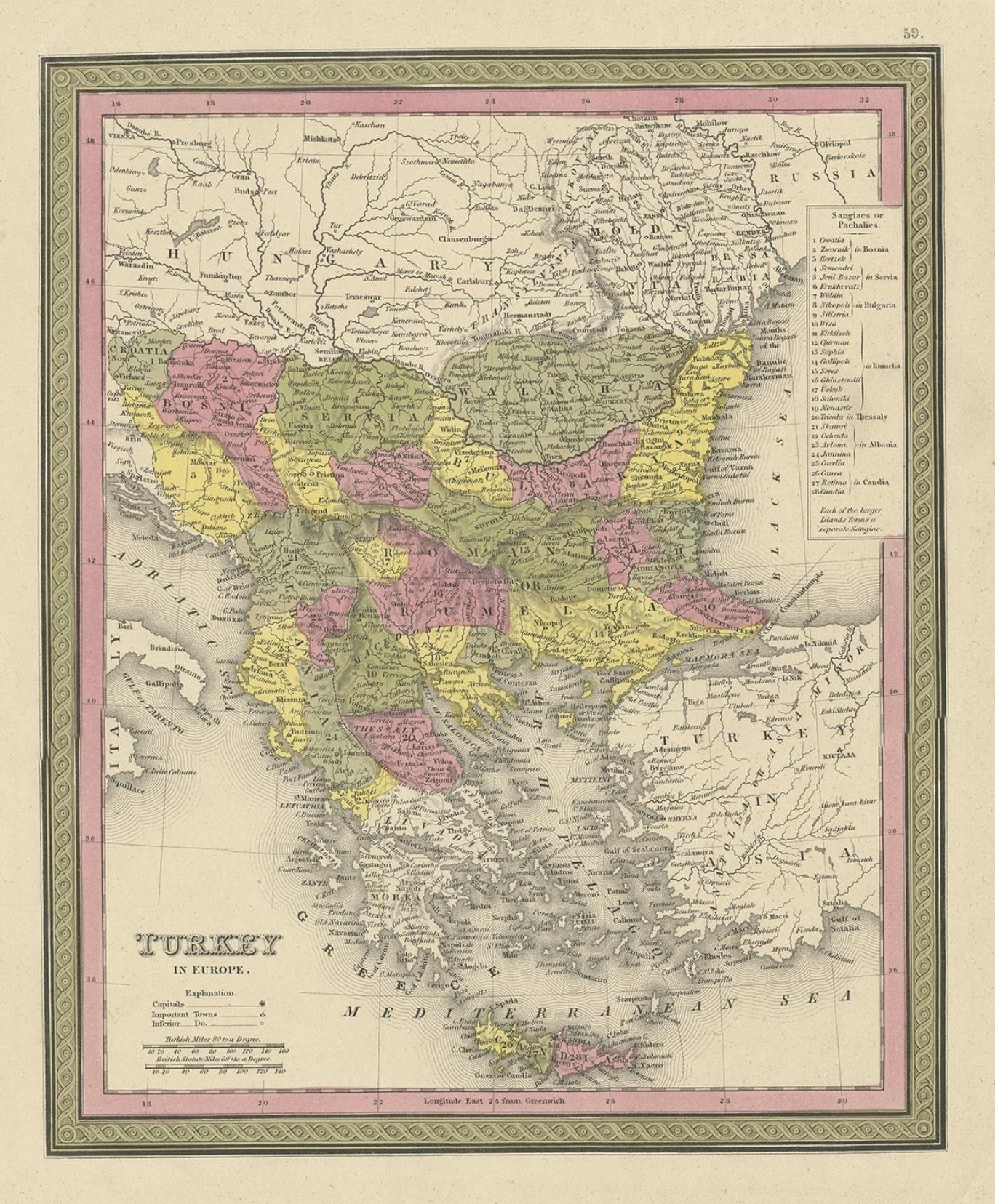
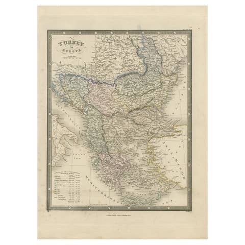
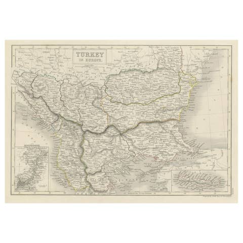
Old Colourful Decorative Map of Turkey in Europe, 1846
€ 230
Original antique · The actual sheet photographed · Certificate of authenticity on request · Sold unframed · Worldwide shipping from € 15 (rates)
Date
1846
Sheet size
43.5 × 35 cm (17.1 × 13.8 in)
Condition
Good
Reference
BG-12418-34
Condition
Original/contemporary hand coloring. Age-related toning and some wear, mainly in margins. Blank verso. Please review the images for further condition details.
About this sheet
Antique map titled 'Turkey in Europe'. Old map of Turkey in Europe.
This map originates from 'A New Universal Atlas Containing Maps of the various Empires, Kingdoms, States and Republics Of The World (..) by S.A. Mitchell.
Artists and Engravers: Samuel Augustus Mitchell was an American geographer. Mitchell worked as a teacher before turning to publishing geography textbooks and maps. He became involved in geography after teaching and realizing that there were so many poor quality geographical resources available to teachers. He was in Philadelphia when he founded his company. His son, S. Augustus Mitchell, became owner in 1860. Their publications covered all genres of geography: maps, travel guides, textbooks, and more.