Maps & PrintsBartele Gallery · Langweer
Home / Antique Maps / Europe / Western Europe / Germany

Germany · 17th century

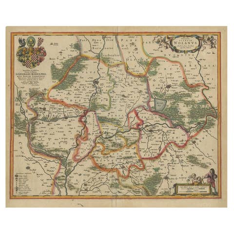
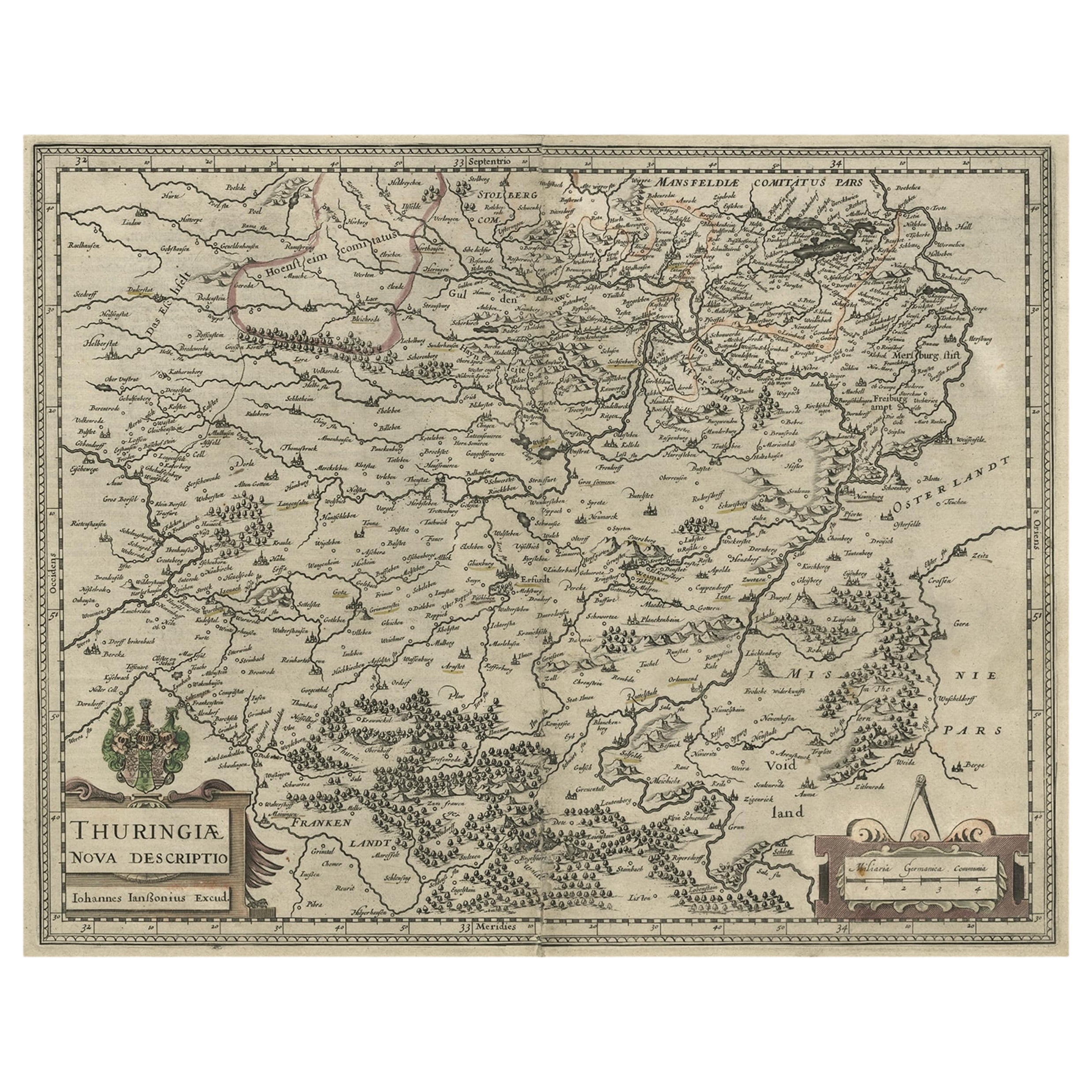
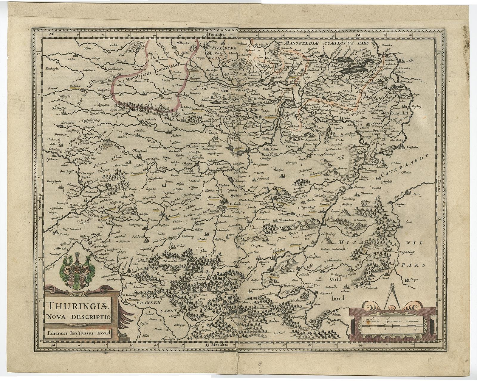
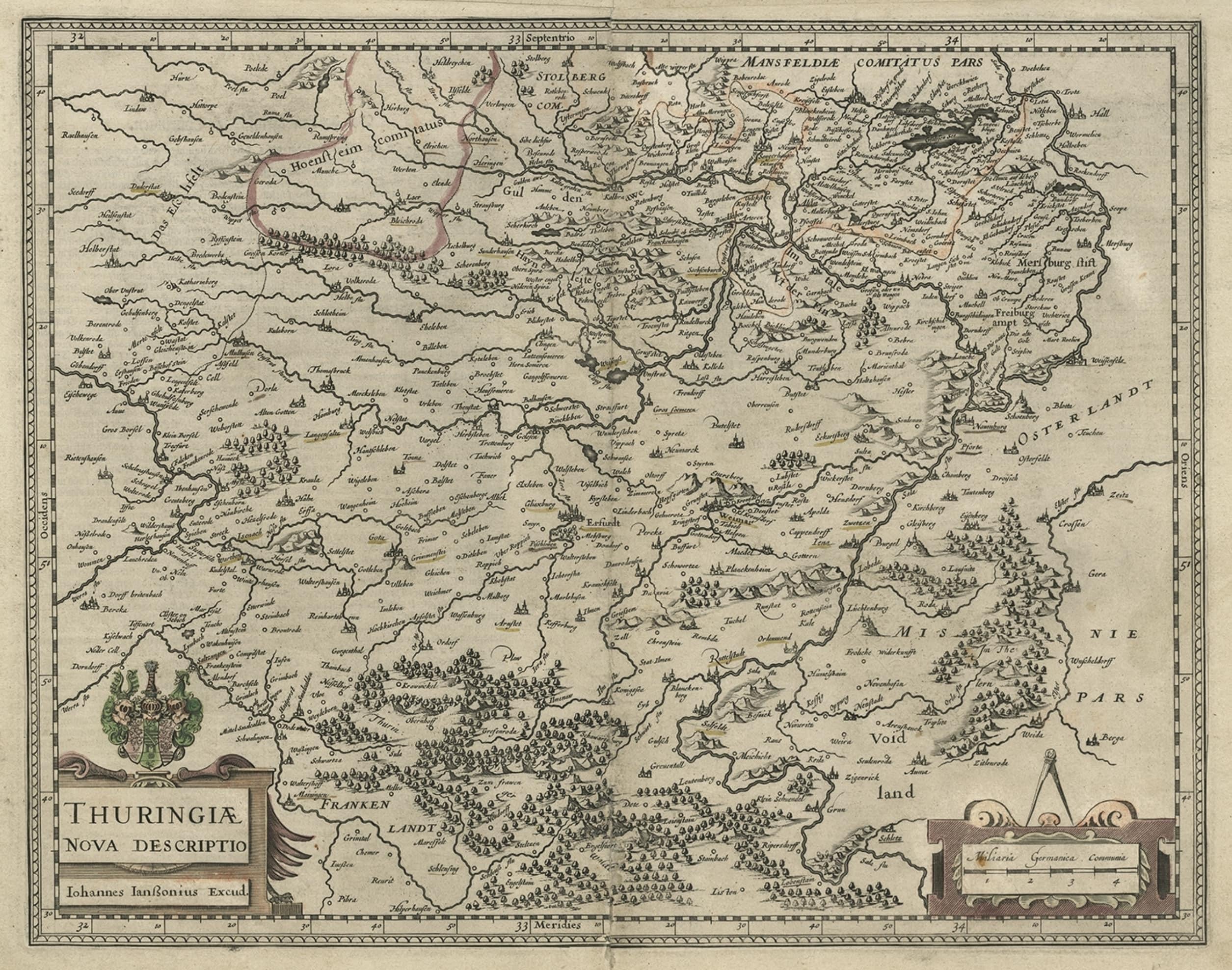
Detailed Original Antique Map of Thuringia, Germany by J. Janssonius, ca.1650

€ 670

Original antique · The actual sheet photographed · Certificate of authenticity on request · Sold unframed · Worldwide shipping from € 15 (rates)

Date
1650
Sheet size
43.2 × 54 cm (17.0 × 21.3 in)
Condition
Fair
Reference
PCT-57996

Condition

Given age. A few spots. Top edge remargined (for framing). Original middle fold as issued. General age-related toning and/or occasional minor defects from handling. German text.
About this sheet

Antique map titled 'Thuringiae Nova Descriptio.' Detailed map of Thuringia, Germany by J. Janssonius. With one cartouche, coat-of-arms and a mileage scale. With Erfurt in the centre. German text on verso. Source unknown, to be determined.

Artists and engravers: Johannes Janssonius also known as Jan Jansson was born 1588 in Arnhem, Netherlands. His father was a bookseller and publisher (Jan Janszoon the Elder). When he married the daughter of the cartographer Jodocus Hondius he also set up a business as book publisher in Amsterdam. His first map was published in 1616. Around 15 years later he set up a partnership with his brother in law Hondius add issued further editions of the Mercator/Hondius atlas. After his death in 1664, his heirs still have published several maps. Many of his plates have been acquired by Pieter Schenk and Gerard Valk.

More from Germany

Ask about this sheet

Detailed Original Antique Map of Thuringia, Germany by J. Janssonius, ca.1650
1650 · Ref. PCT-57996 · € 670
We reply by email, usually within one working day.