Maps & PrintsBartele Gallery · Langweer
Home / Antique Maps / Europe / Western Europe / United Kingdom & Ireland

United Kingdom & Ireland · 19th century

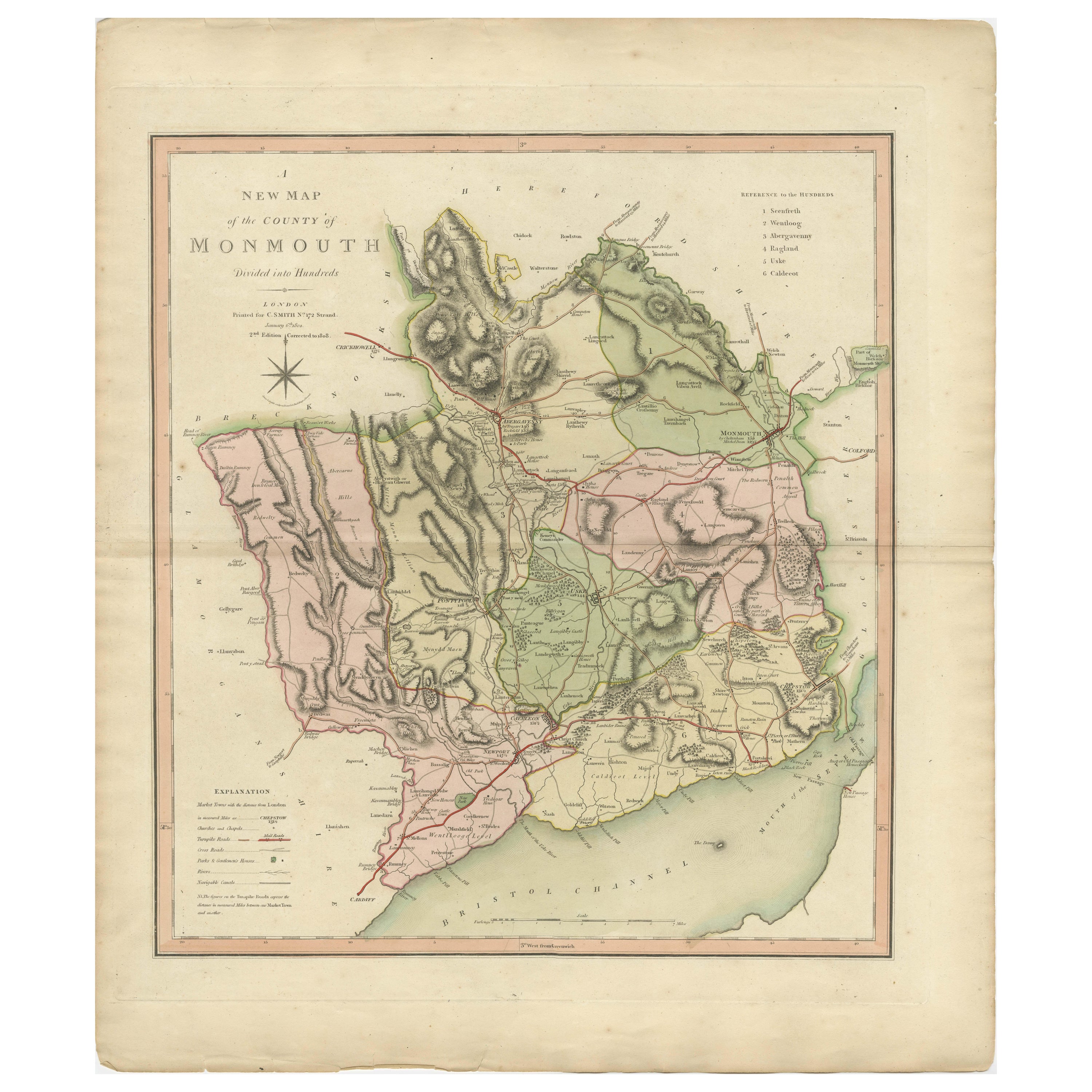

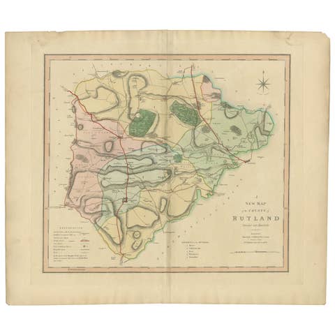
Antique County Map of Monmouthshire, England, circa 1804

€ 325

One of a kind: this is the sheet in the photographs. Ships from Langweer, the Netherlands.

Date
1804
Technique
Engraved
Sheet size
64 × 54 cm (25.2 × 21.3 in)
Condition
Good
Reference
BG-12924-12

Condition

General age-related toning. Small tears on the edges but not into the plate mark and image. Folding line as issued. Please study image carefully.
About this sheet

Antique county map of Monmouthshire first published circa 1800. Villages, towns, and cities illustrated include Newport, Chepstow, Rockfield, and Pontypool.

Charles Smith was a cartographer working in London from circa 1800. His maps were finely engraved on copper and featured beautiful hand colouring. The county maps were initially issued as single sheets for travelers from 1800. In 1804 they were published as an atlas, Smith's New English Atlas.

More from United Kingdom & Ireland

Ask about this sheet

Antique County Map of Monmouthshire, England, circa 1804
1804 · Ref. BG-12924-12 · € 325
We reply by email, usually within one working day.