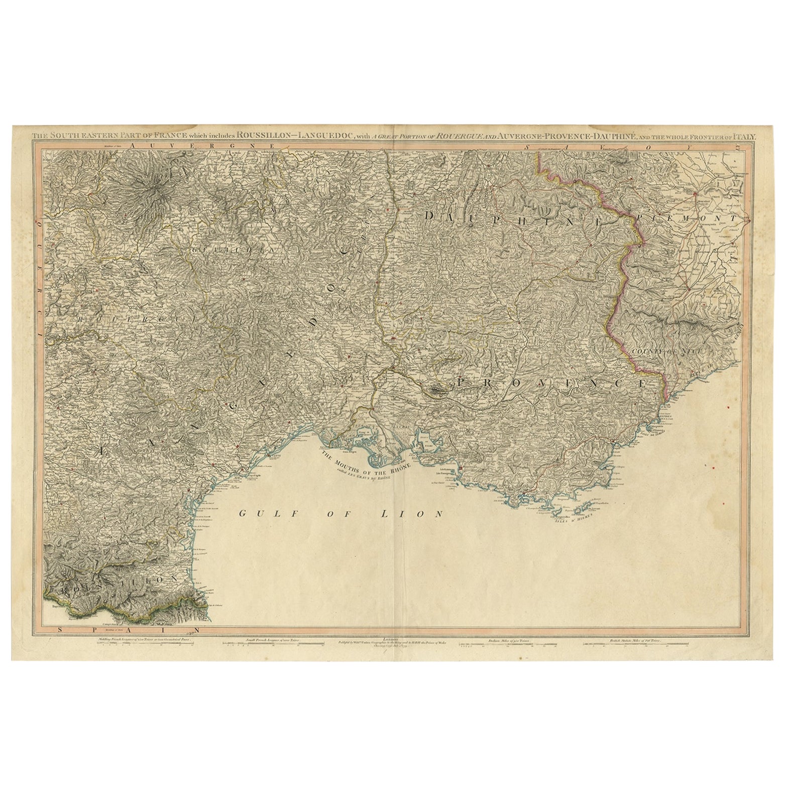
Striking Large Format Antique Map of Southeastern France, 1799
€ 650
Original antique · The actual sheet photographed · Certificate of authenticity on request · Sold unframed · Worldwide shipping from € 15 (rates)
Date
1799
Sheet size
58.4 × 82.7 cm (23.0 × 32.6 in)
Condition
Fair
Reference
PC-58930
Condition
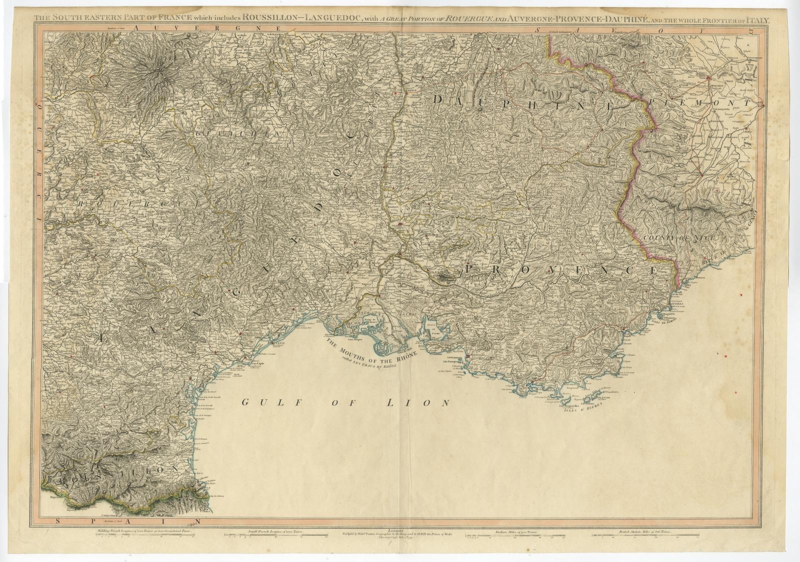
/good, general age-related toning. Original folding line. Few tears in margin, one in left margin sl. affecting image. Minor wear and soiling, blank verso. Please review the images for further condition details.
About this sheet
Antique map titled 'The South Eastern Part of France which includes Roussillon-Languedoc, with a Great Portion of Rouergue and Auvergne-Provence-Dauphine, and the Whole Frontier of Italy'.
Striking large format map of Southeastern France, showing the region from the Mediterranean Coast and Gulf of Lyon to the Alps and extending into Piemonte. One of the most detailed English language maps of the region. Source unknown, to be determined.
Artists and Engravers: Made by 'William Faden' after an anonymous artist. William Faden (1749 – 1836) was an English cartographer and a publisher of maps. He was the royal geographer to King George III. He replaced Thomas Jeffreys in that role. The title of "geographer to the king" was given to various people in the 18th century, including John Senex, Herman Moll, Emmanuel Bowen and Thomas Jeffreys. All of these men, including William Faden, were engravers and publishers, not scholars or academics. Their part was to publish and supply maps to the crown and parliament.