Scarce Map of the Mediterranean and Parts of Europe, Africa & Middle East, 1725
€ 470
Original antique · The actual sheet photographed · Certificate of authenticity on request · Sold unframed · Worldwide shipping from € 15 (rates)
Date
1725
Technique
Engraved
Sheet size
40 × 47 cm (15.7 × 18.5 in)
Reference
PCT-61930
Condition
Very good, given age. Edges browned. One small spot lower right just above the c of Africa. Original middle fold as issued. General age-related toning and/or occasional minor defects from handling. Please review the images for further condition details.
About this sheet
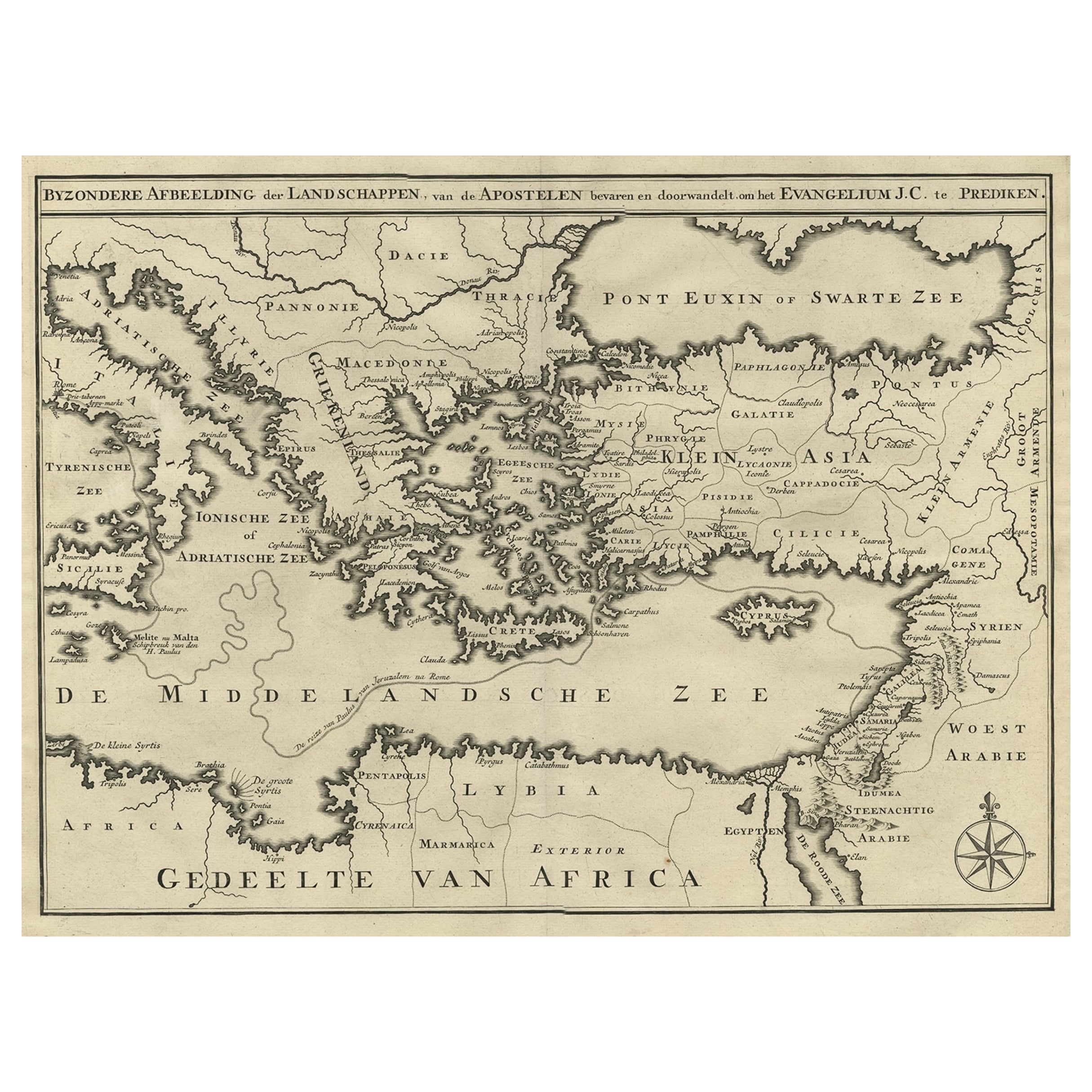
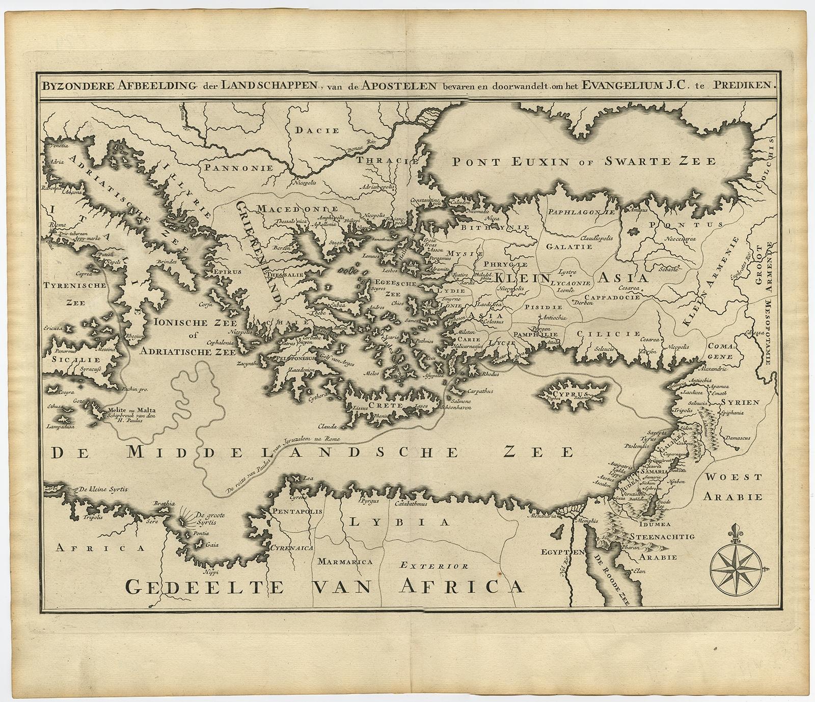
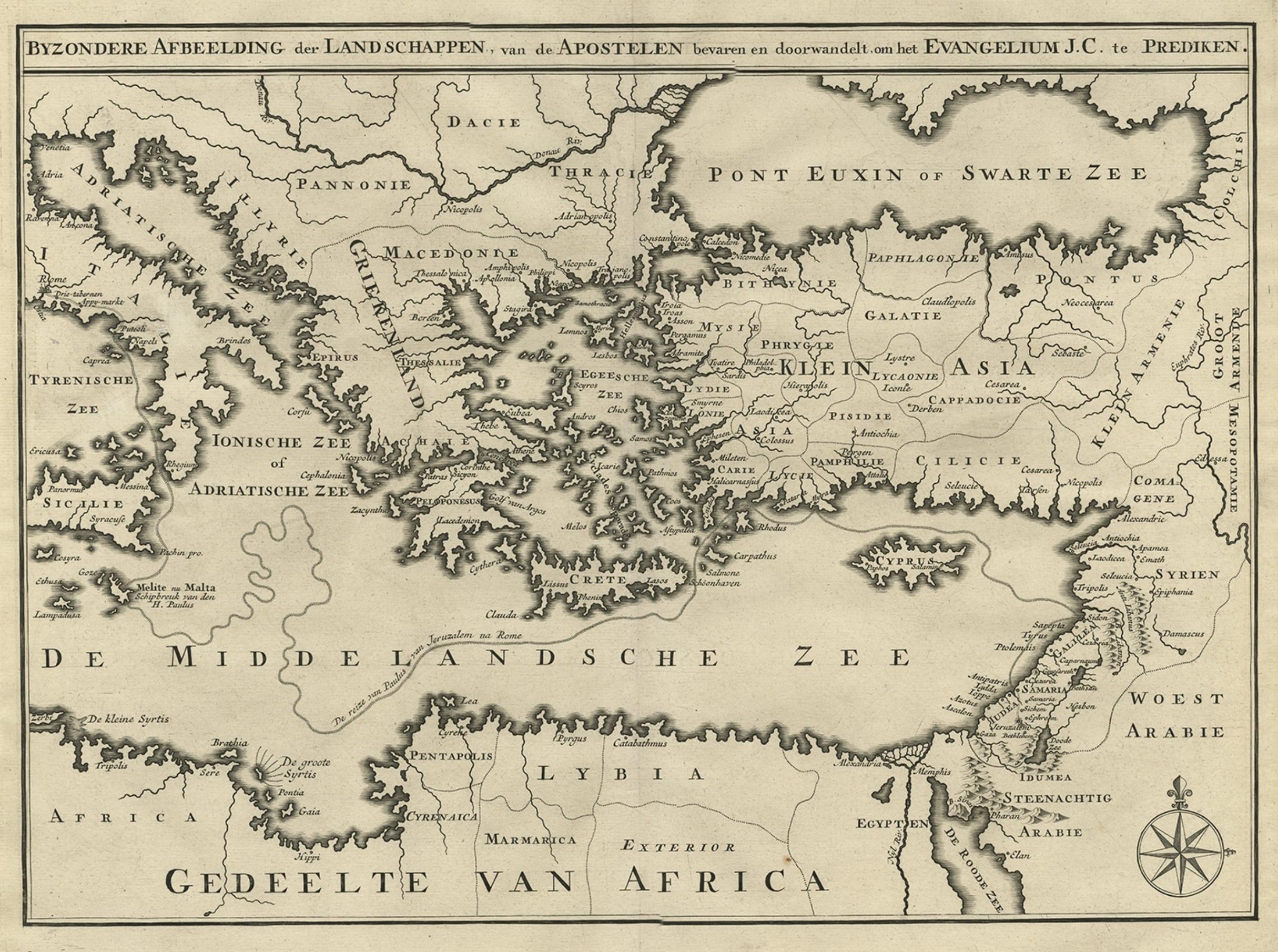
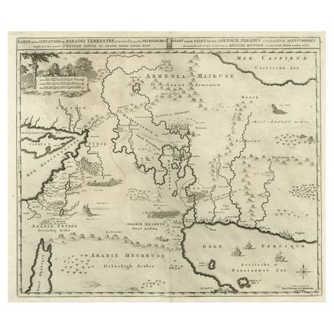
Antique map titled: Byzondere afbeelding der landschappen, van de Apostelen bevaren en doorwandelt, om het Evangelium J.C. te prediken.
Scarce map of the Mediterranean and contiguous parts of Europe, Africa and the Middle East, illustrating the travels of Paul between the Holy Land and Rome, through the Mediterranean. This map originates from: Het algemeen groot historisch, oordeelkundig, chronologisch, geografisch, en letterlyk naam- en woord-boek, van den gantschen H. Bybel by A. Calmet, 1725.
Artists and Engravers: Antoine Augustin Calmet ( 1672 - 1757 ), French Benedictine.