Antique Maps of the Americas
354 original sheets

Antique Ontario Map Wall Art – Lake Superior & Northern Ontario, ca.1888
1888 · € 280€ 19630% off

Antique Map North America, Texas Republic, Decorative Levasseur Atlas, c.1845
1845 · € 1,250€ 1,00020% off
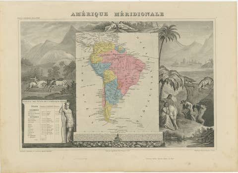
Antique Map South America, Levasseur, Decorative Original Hand Colored, c.1845
1845 · € 790€ 55330% off
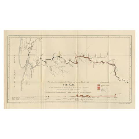
Antique Geological Survey Map of Surinam 1888 Hand Colored, Rare
1888 · € 650€ 45530% off
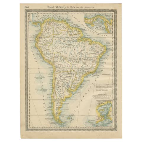
Antique South America Map Wall Art – Brazil, Andes & Amazon, Rand McNally, 1888
1888 · € 210€ 14730% off
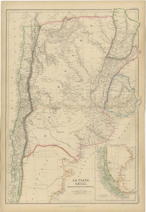
Antique Map of La Plata, Chile, Paraguay, Uruguay and Patagonia, 1860
1860 · € 290€ 20330% off
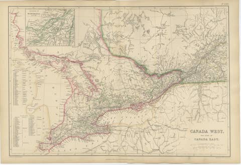
Antique Map of Canada West and Part of Canada East, Ontario & Quebec, 1860
1860 · € 370€ 25930% off
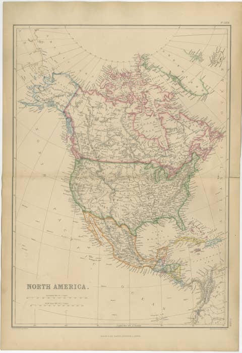
Antique Map of North America, Canada, United States and Mexico, 1860
1860 · € 290€ 20330% off

Antique North America Map, Canada, USA, Mexico, Bartholomew, 1884
1884 · € 395€ 29725% off

Antique Brazil Map, Uruguay, Paraguay & Guiana, Bartholomew, 1884
1884 · € 340€ 23830% off
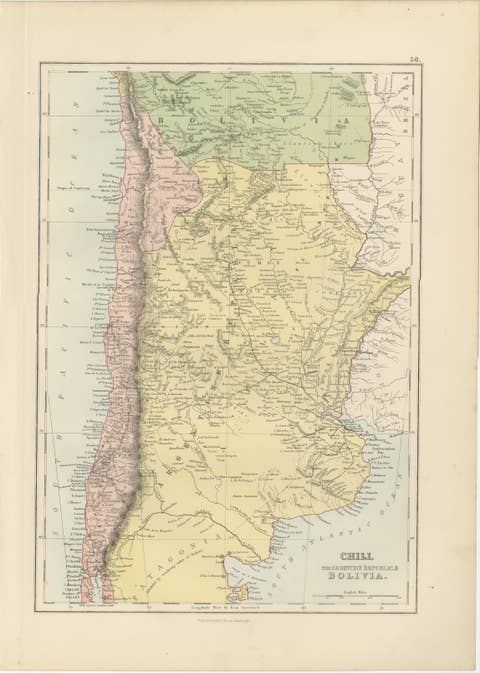
Antique Chile, Argentina & Bolivia Map, Patagonia, Bartholomew, 1884
1884 · € 320€ 22430% off
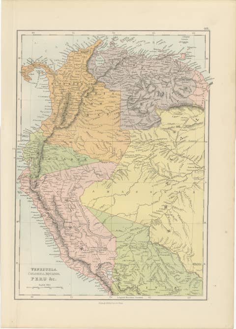
Antique Venezuela, Colombia, Ecuador & Peru Map, Bartholomew, 1884
1884 · € 350€ 24530% off
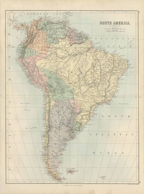
Antique South America Map, Brazil, Argentina, Chile, Bartholomew, 1884
1884 · € 395€ 29725% off
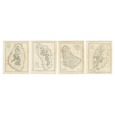
Set of Four Antique Maps of Caribbean Islands by Bryan Edwards, 1818
1818 · € 440€ 30830% off
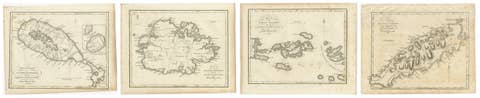
Antique Caribbean Maps of St. Kitts, Antigua, Virgin Islands & Tobago, 1818
1818 · € 360€ 25230% off
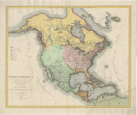
Large Antique Map of North America, United States & Canada, 1806
1806 · € 855€ 64225% off

Large Antique Map of North & South America by Weiland, 1826
1826 · € 545€ 40925% off
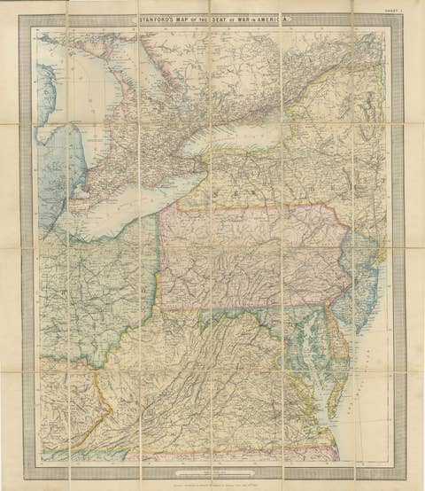
American Civil War “Seat of War” Map, Published Just After Bull Run, 1861
1861 · € 1,940€ 1,55220% off