About this sheet
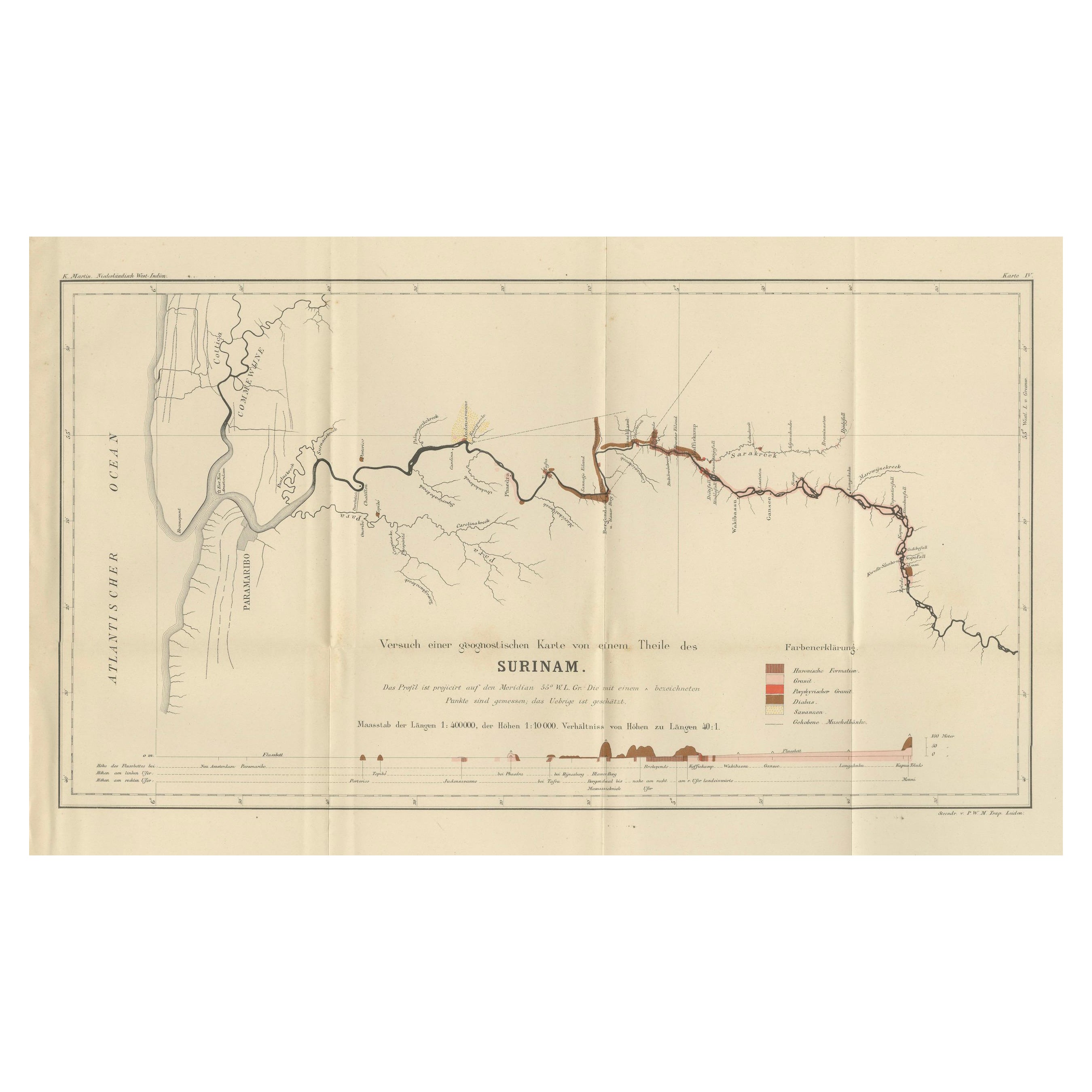
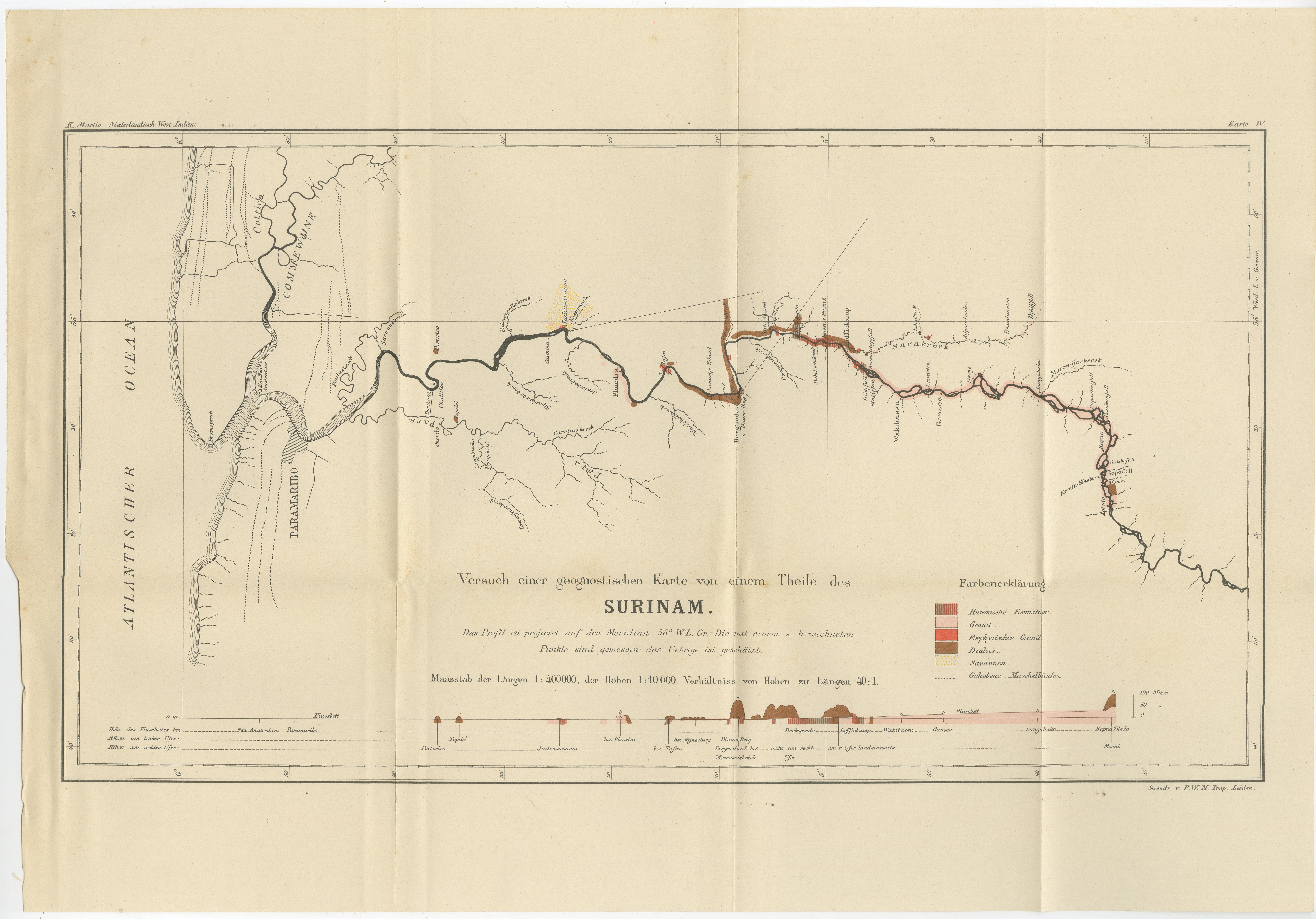
Antique Geological Survey Map of Surinam 1888 Hand Colored
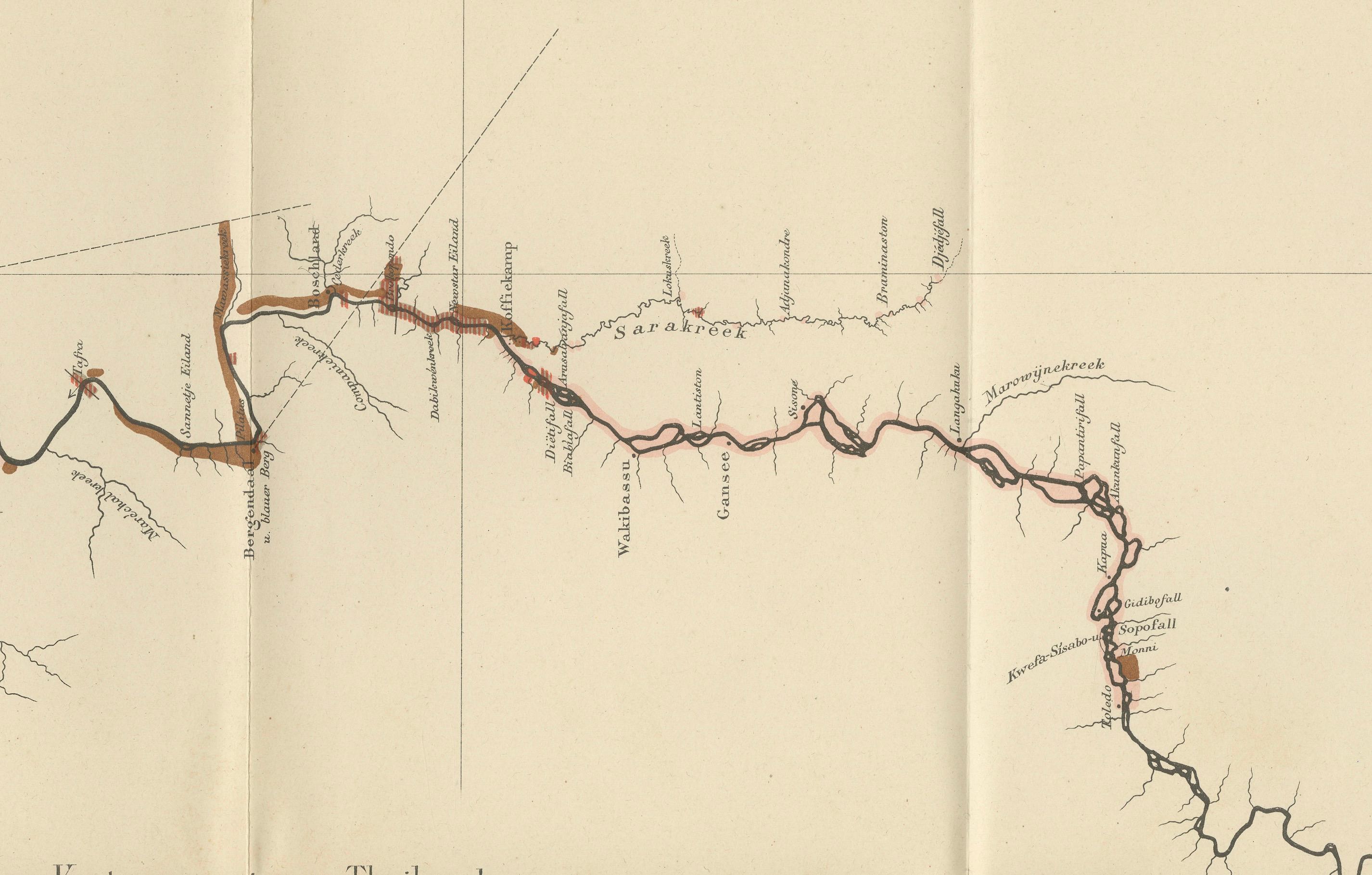
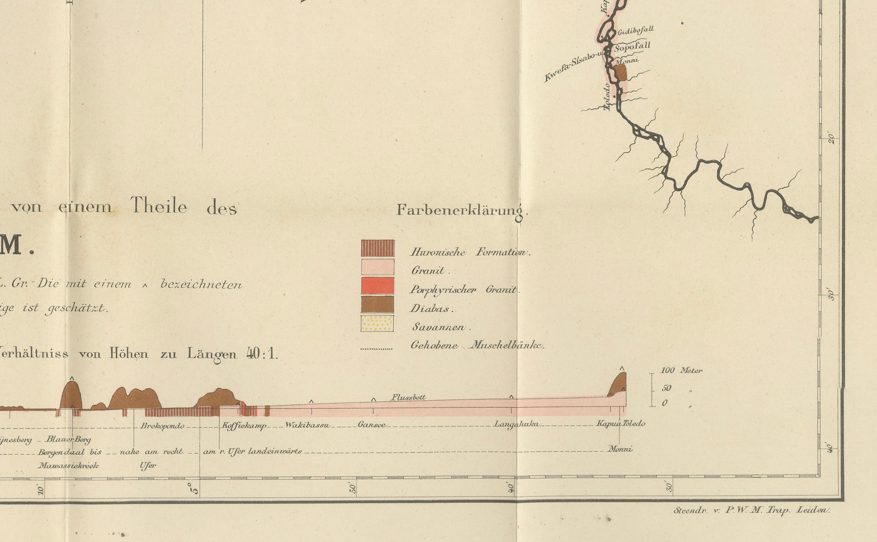
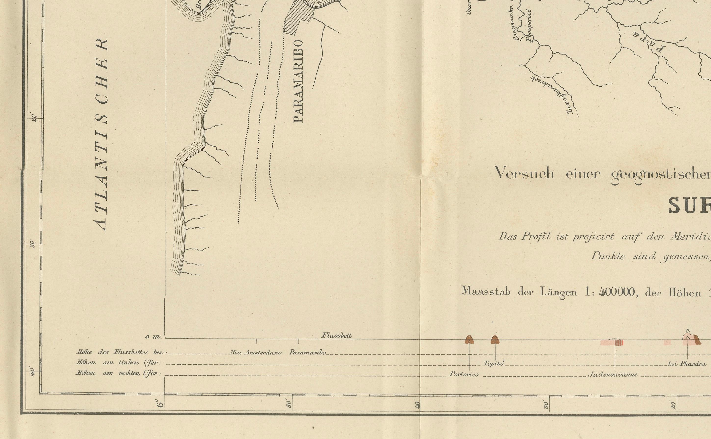
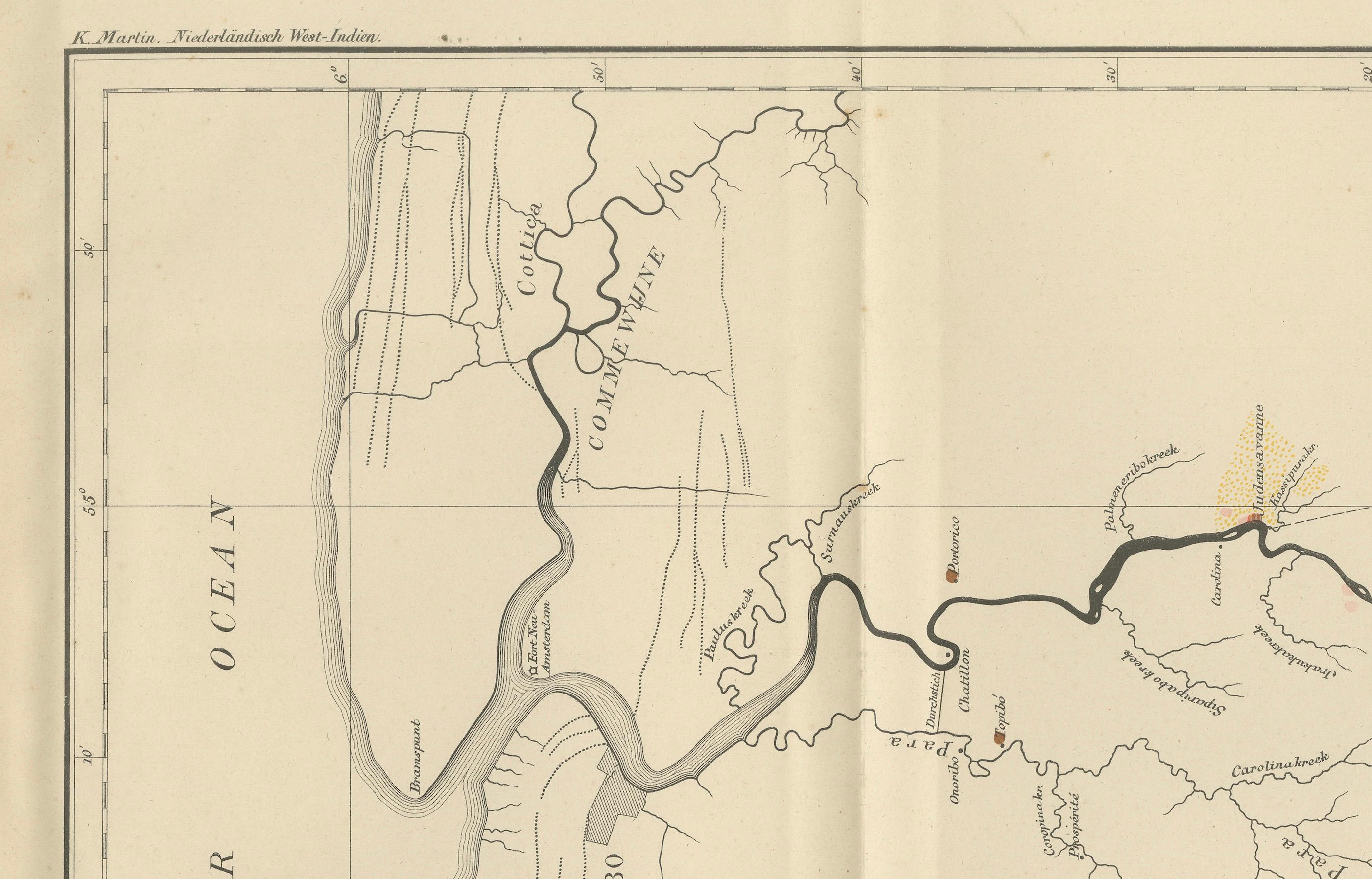
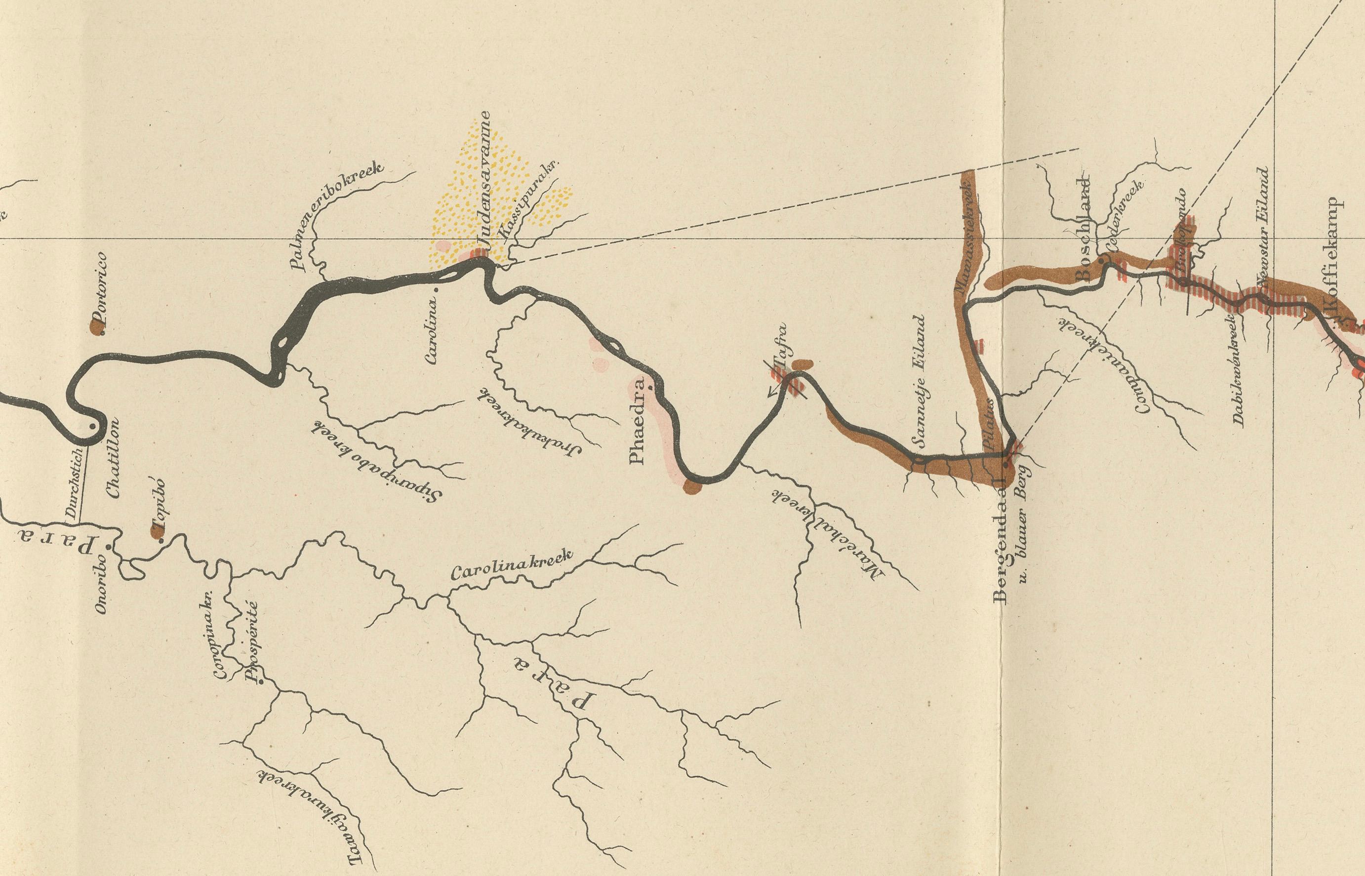
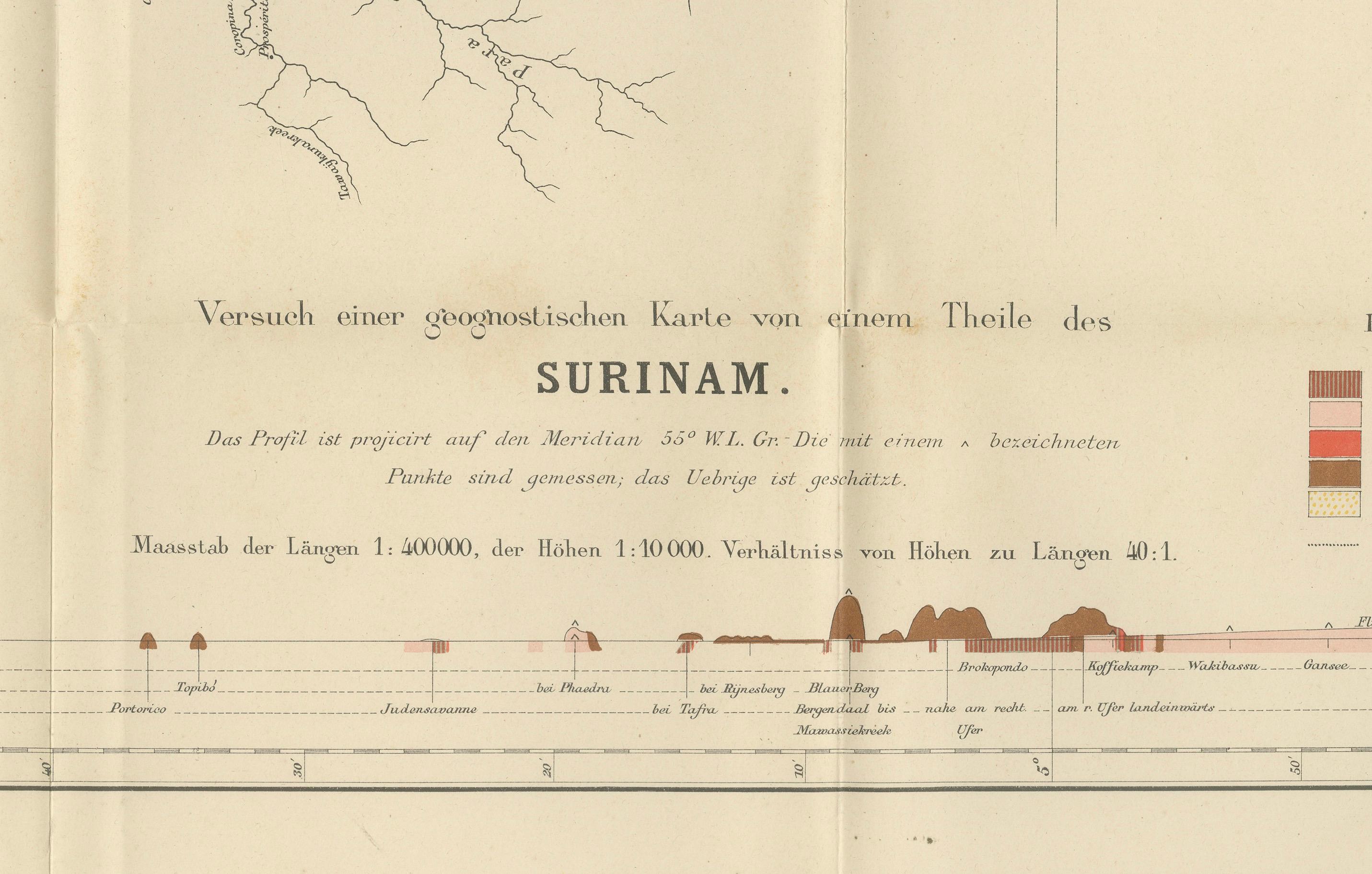
This impressive hand-colored geological survey map of Surinam was published in 1888 as part of Karl Martin’s monumental scientific study of the Dutch West Indies. The map focuses on the river systems and geological structure of a large central section of Surinam, extending inland from the Atlantic coast near Paramaribo deep into the interior. It is one of the earliest detailed geological mappings of the Surinamese river regions and stands as a key document of Dutch colonial scientific exploration.
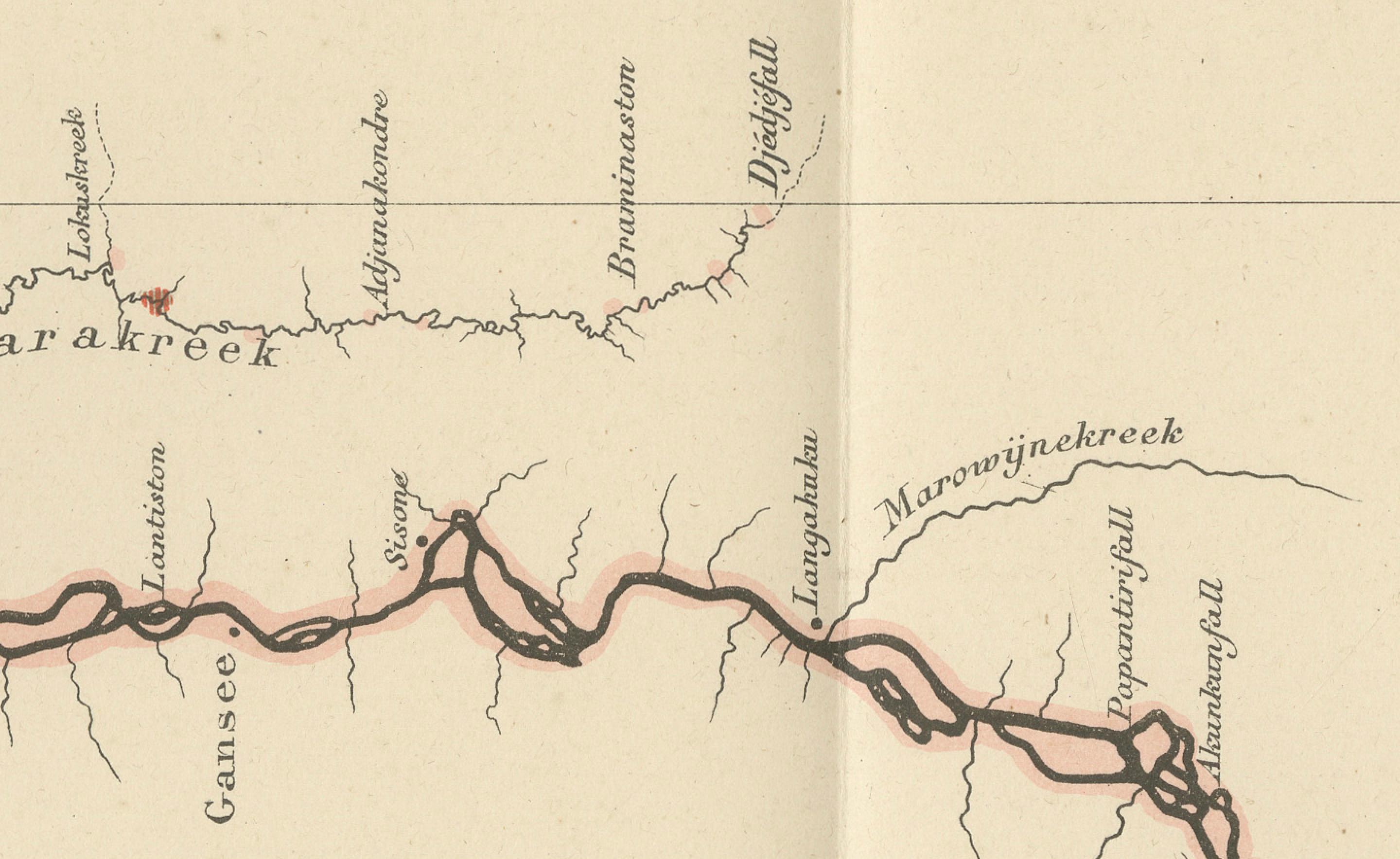
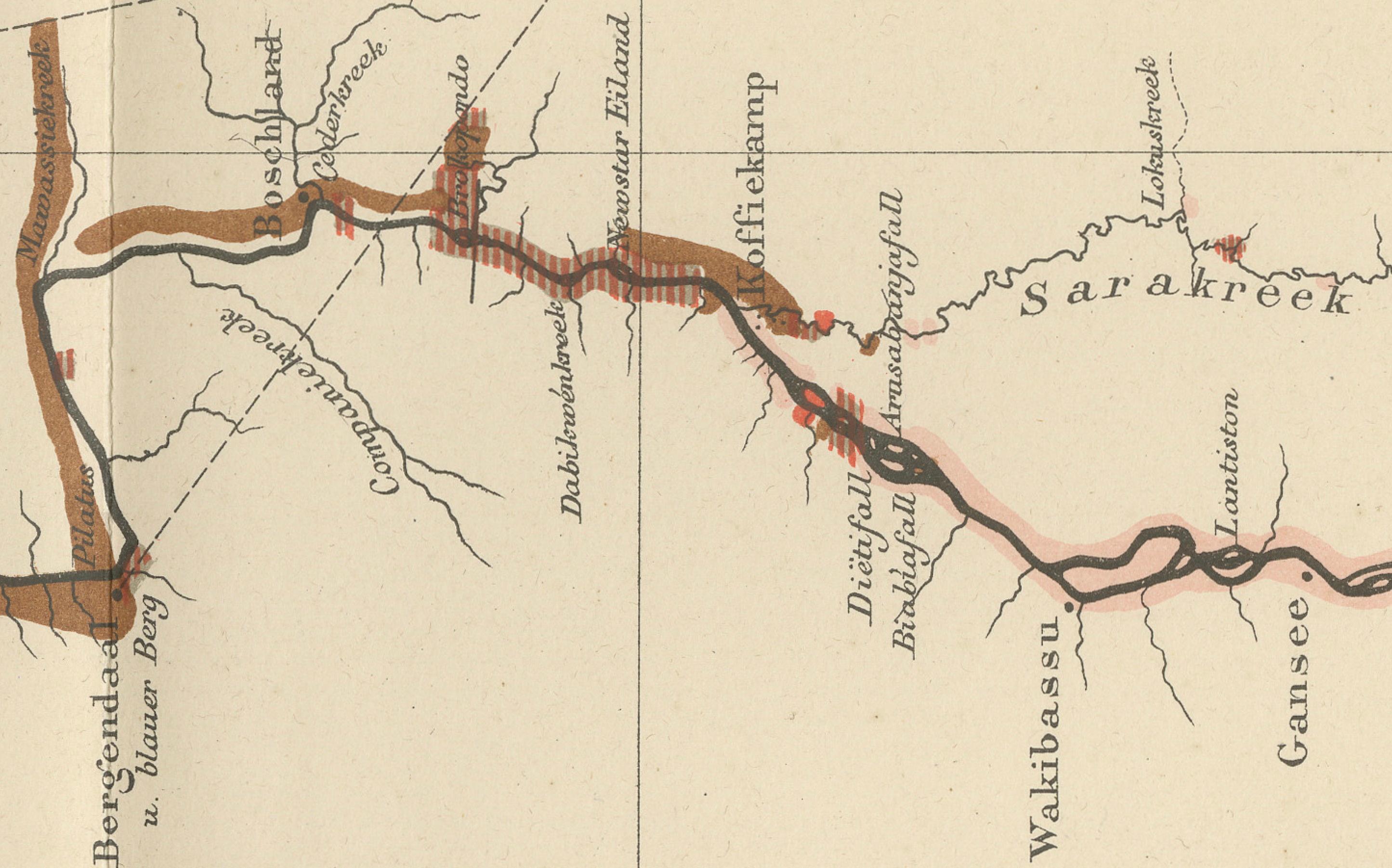
The map combines cartography with geology and elevation profiling. The winding river is traced in bold with surrounding tributaries carefully delineated, while color-coded geological formations indicate granite, porphyry, diabase, savannas, and coastal sediment zones. Along the lower margin, a continuous geological cross-section shows elevation and subsoil structure, offering a rare scientific visualization of Surinam’s interior terrain as understood in the late 19th century.
Published in Leiden and engraved by P.W.M. Trap, this map reflects the growing European academic interest in South American natural resources, mining potential, river navigation, and tropical geology during the height of colonial expansion. Maps of Surinam from this period are significantly scarcer than those of the Caribbean islands and are increasingly sought after by collectors focused on colonial South America, Dutch overseas history, and scientific cartography.
Visually, the map is understated yet powerful, with its long horizontal composition emphasizing the vastness of the Surinamese landscape. The restrained hand coloring in earthy reds, browns, greens, and yellows adds both scientific clarity and strong decorative appeal, making it highly suitable for both academic collections and refined interiors with a historical or exploration theme.
This is an outstanding example for collectors of:
– Surinam and Guiana cartography
– Dutch colonial exploration
– Geological and scientific mapping
– South American river systems
– 19th-century academic publishing
Condition report:
Good original condition. Original fold lines visible as issued. Light overall age toning present. Minor scattered foxing and light edge wear in the margins. No major tears or losses observed. Map remains clean, sharp, and very well preserved for its age.
Framing tips:
This wide-format map is ideally suited for a long horizontal frame in walnut, natural oak, or matte black with a wide warm-cream or light-grey passe-partout. A floating museum mount also works beautifully, emphasizing the original folds and full sheet proportions.
Technique: Hand-colored lithographic map
Maker: Karl Martin, Leiden, 1888
SEO keyword block:
Surinam antique map, Suriname geological map, Dutch colonial Surinam, 19th century Surinam map, Suriname river map, Karl Martin map, geological survey Surinam, South America colonial map, Paramaribo river map, Dutch West Indies Surinam, antique scientific map, hand colored Surinam map, Guiana colonial cartography