About this sheet
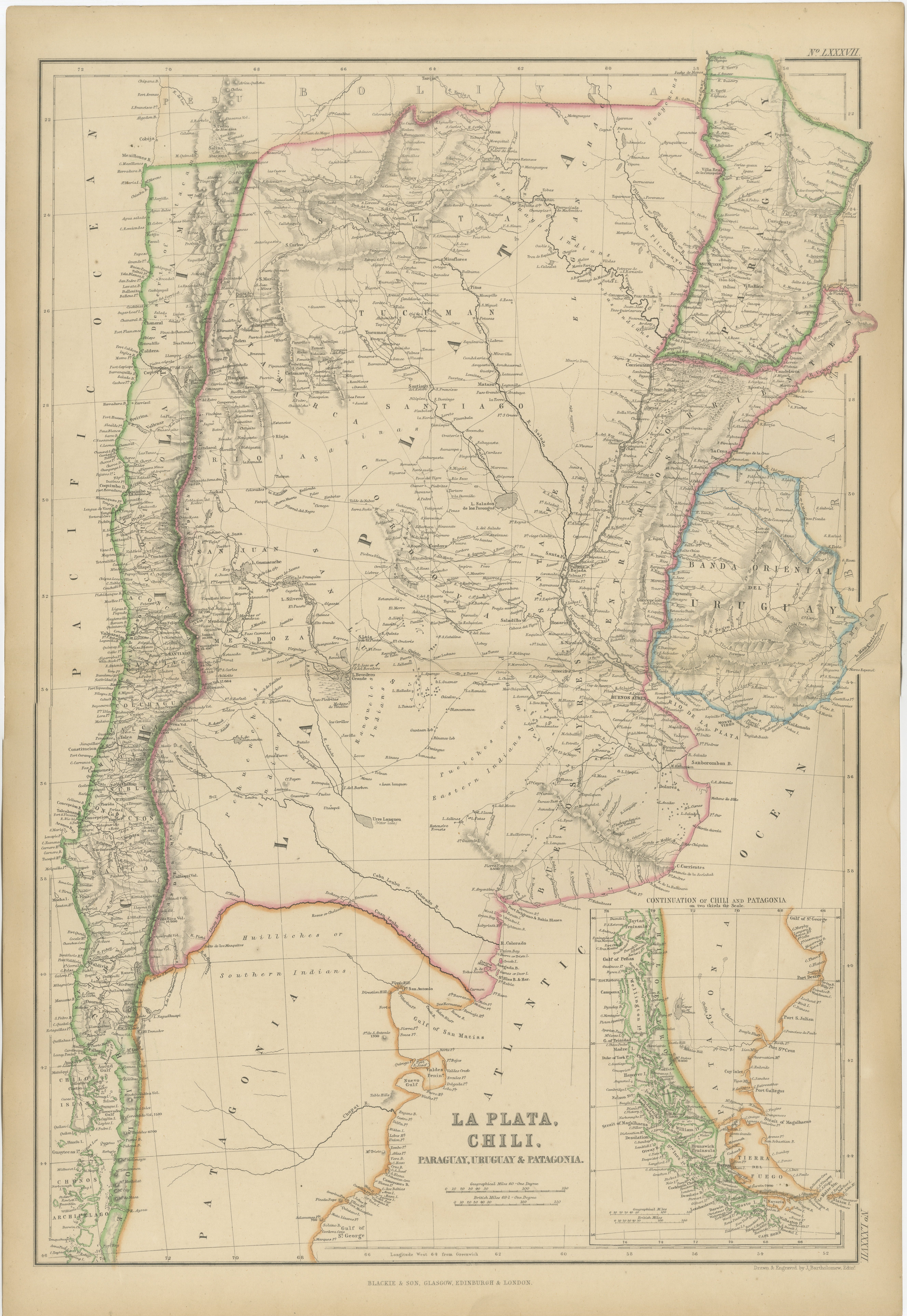
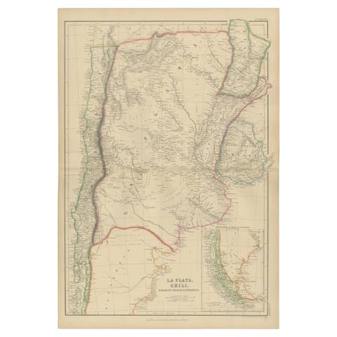
Antique Map of La Plata, Chile, Paraguay, Uruguay and Patagonia, 1860
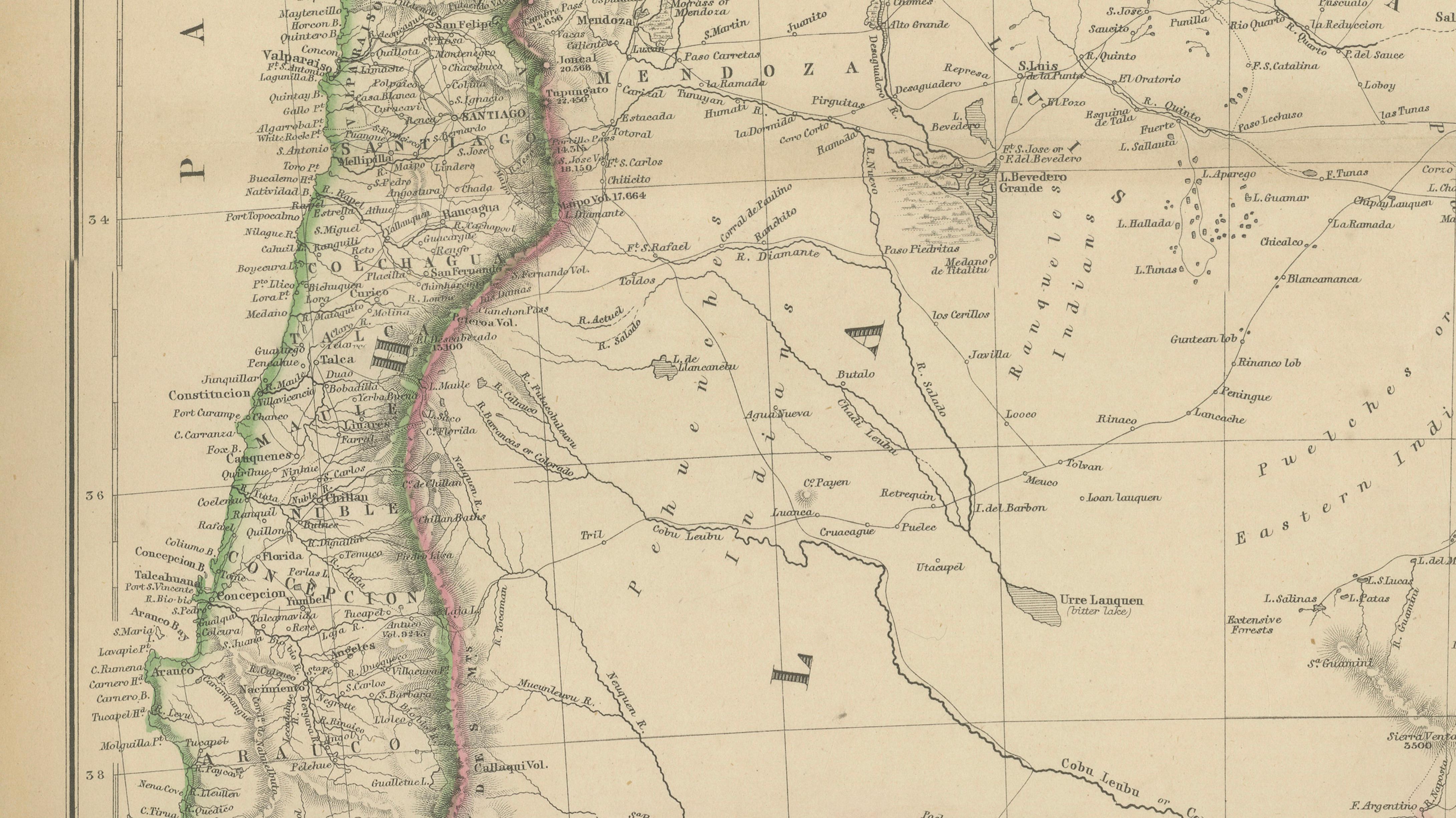
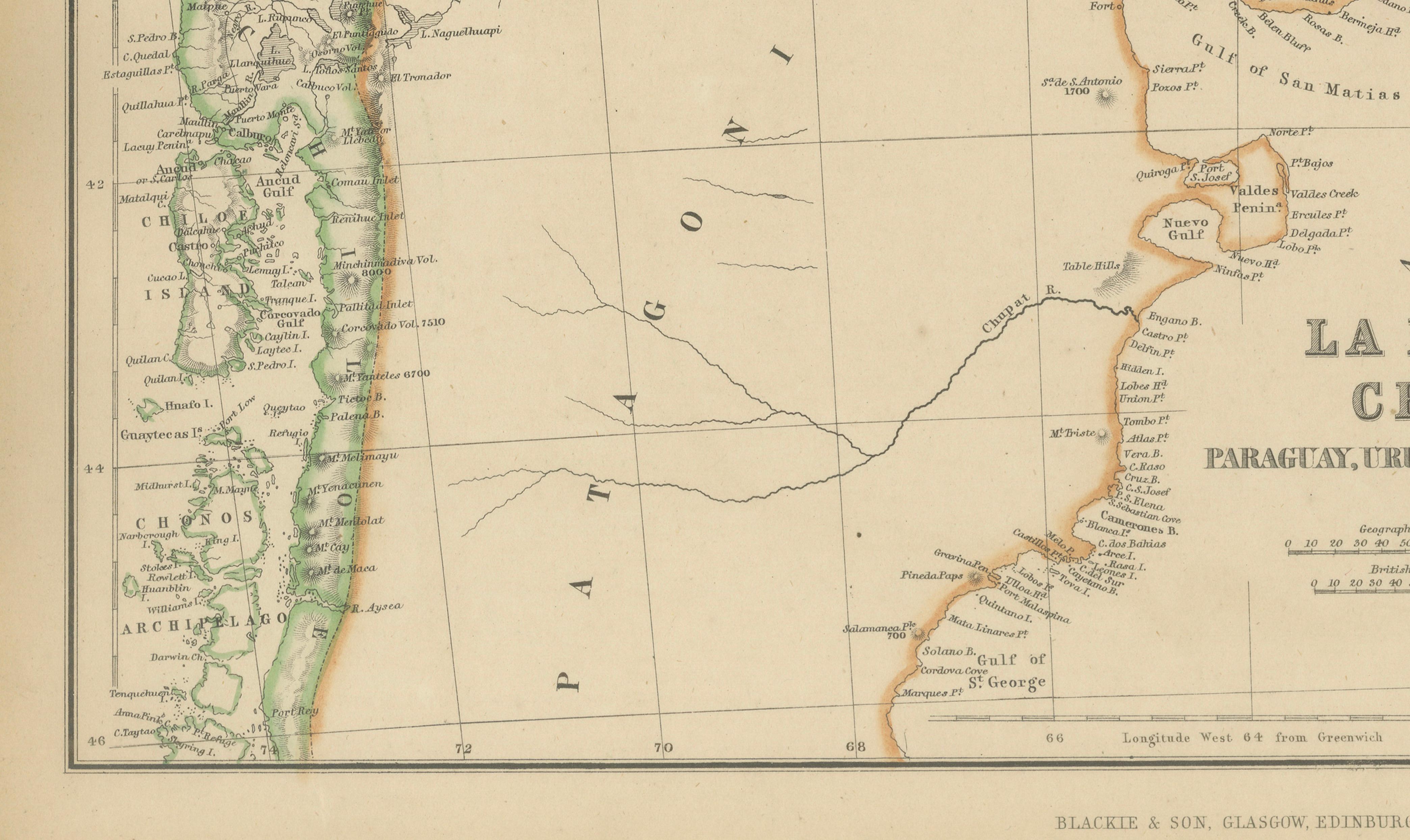
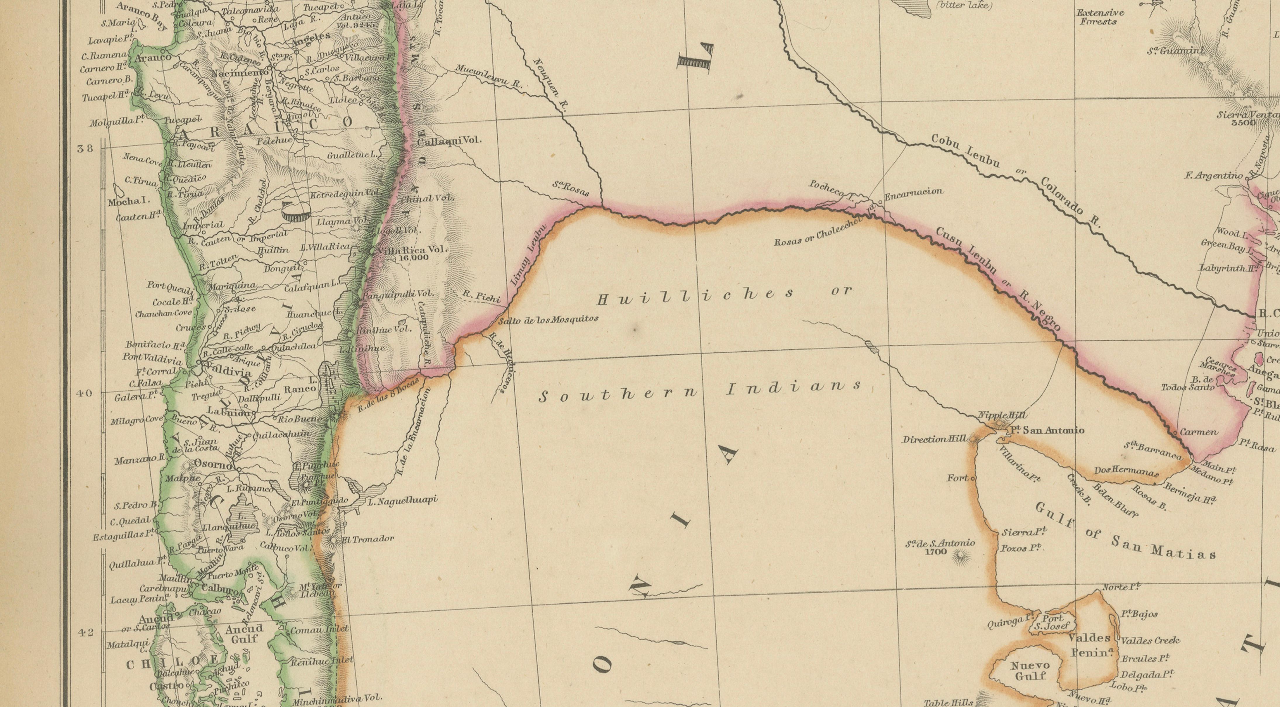
This finely engraved map of southern South America was published by W. G. Blackie of Scotland around 1860 and provides a detailed depiction of the vast territories historically known as La Plata, Chile, Paraguay, Uruguay, and Patagonia. Covering an immense region stretching from the Atacama Desert and the Andes to Tierra del Fuego and Cape Horn, the map captures the geography and political boundaries of South America during a transformative period in its history.
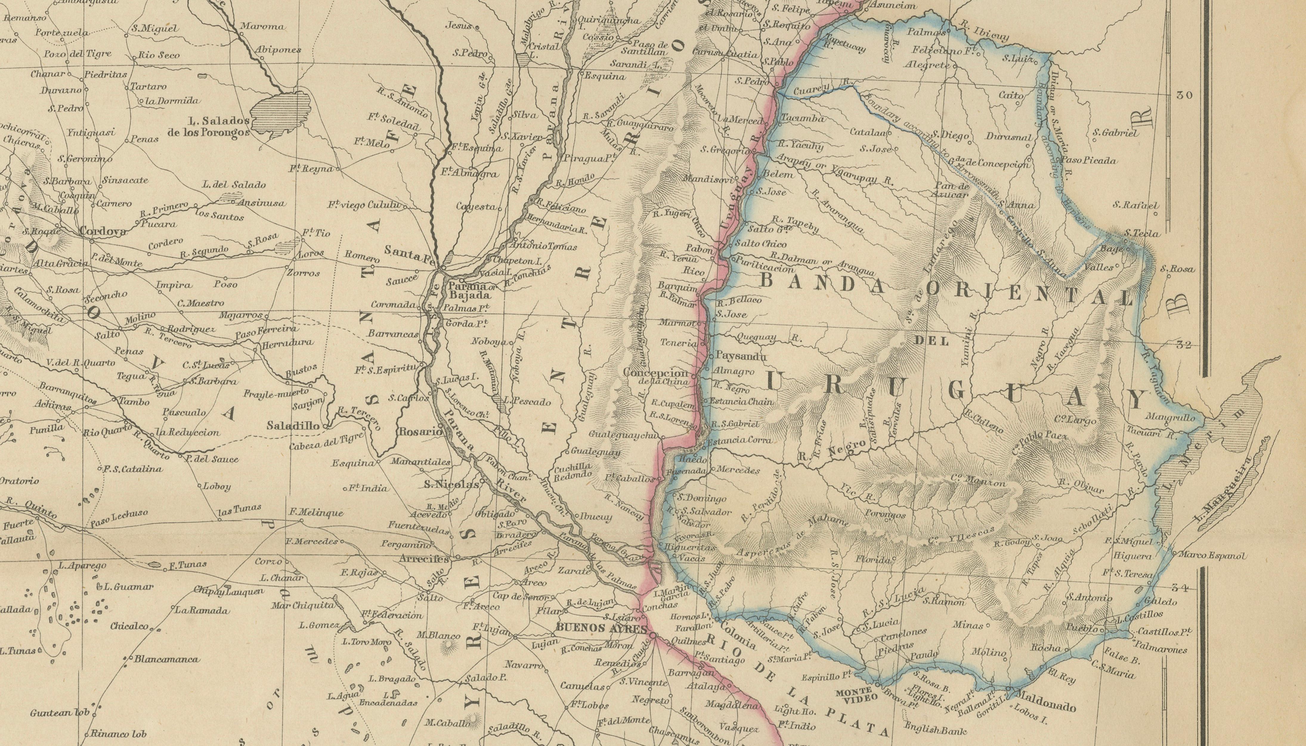
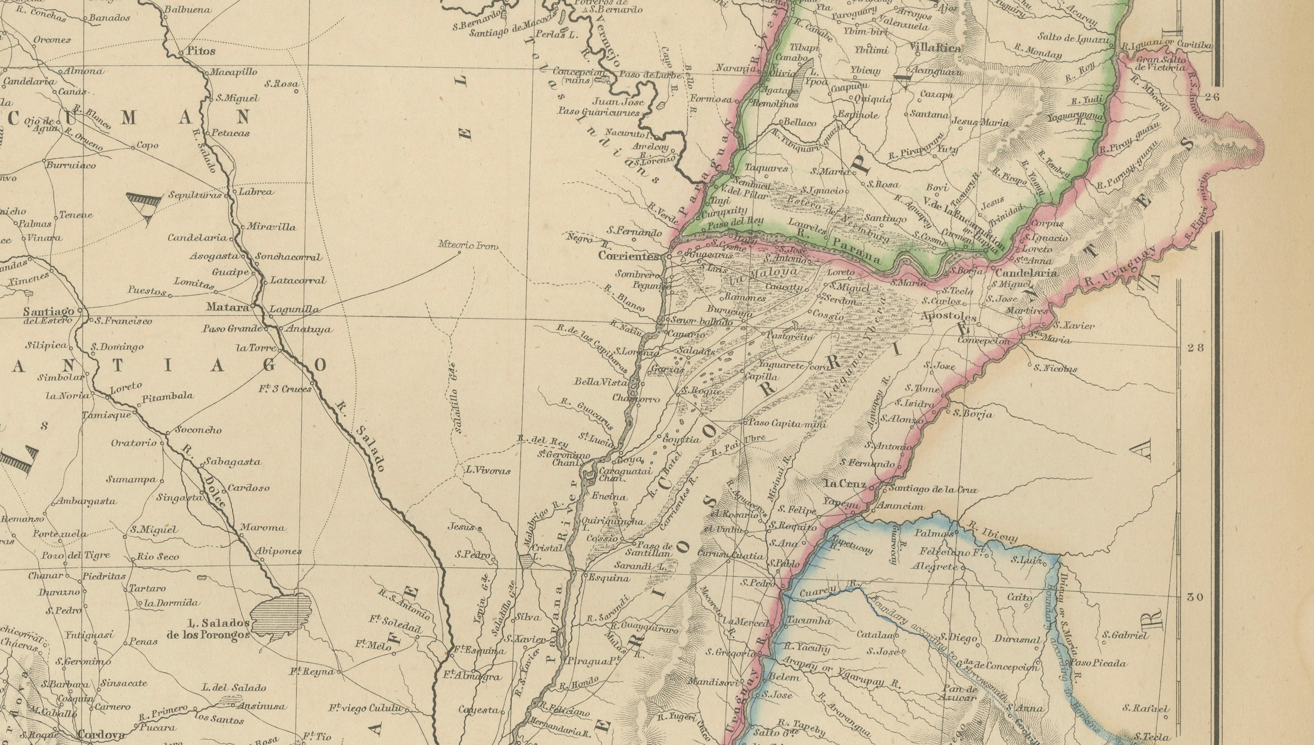
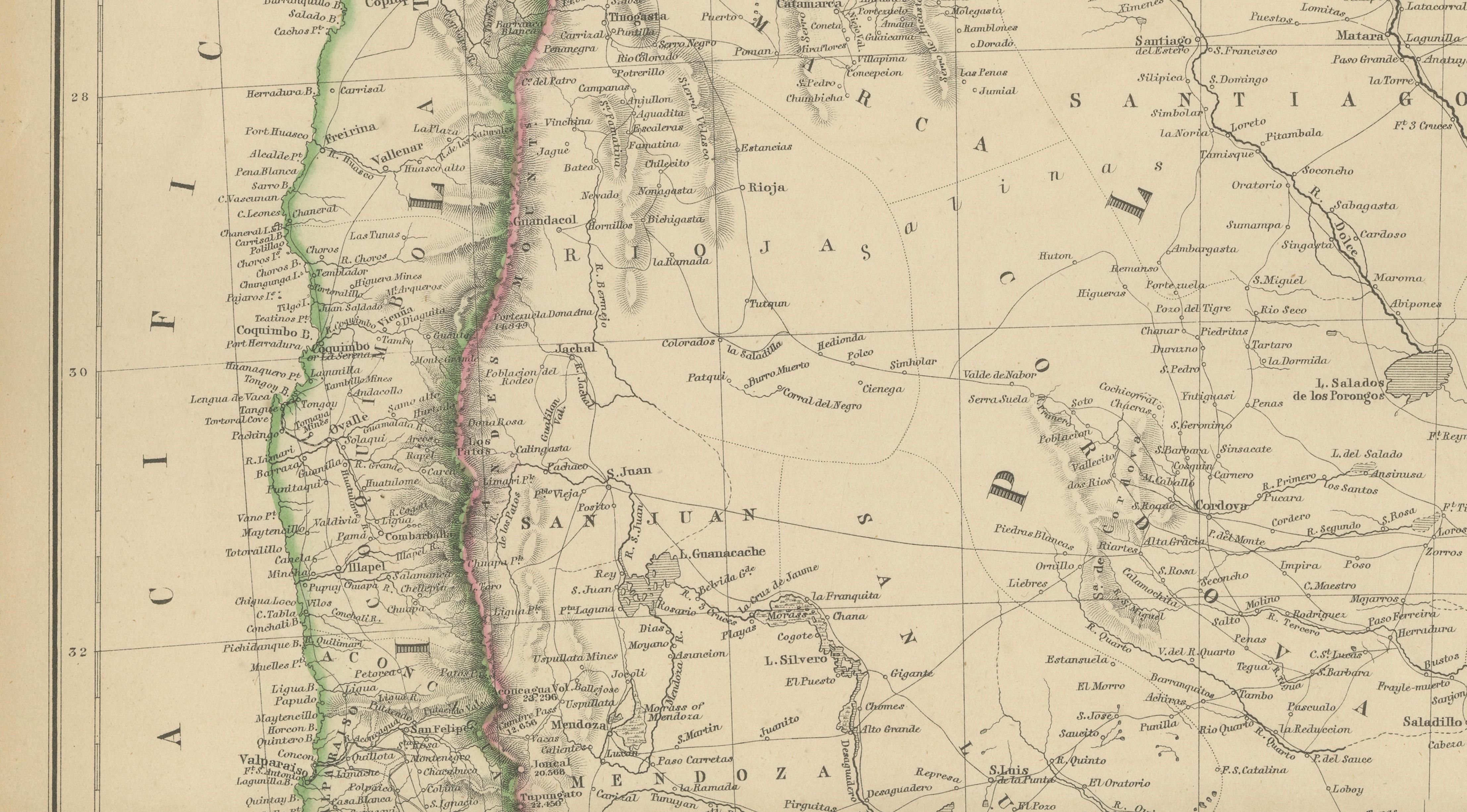
The map presents the independent republics of Argentina, Chile, Uruguay, and Paraguay in remarkable detail, while also illustrating the extensive and sparsely populated territories of Patagonia. Rivers, mountain ranges, settlements, trade routes, and administrative divisions are carefully engraved, reflecting the growing European interest in the region's economic and strategic importance during the nineteenth century.
Particularly impressive is the depiction of the Andes Mountains running the length of the continent's western edge. The map also highlights the Río de la Plata estuary, one of South America's most important commercial waterways, together with major cities such as Buenos Aires, Montevideo, Santiago, Valparaiso, Asunción, and Mendoza. Extensive indigenous territories, frontier regions, and remote settlements provide valuable insight into the political geography of the era.
An inset map of southern Patagonia and Tierra del Fuego offers additional detail of the region surrounding the Strait of Magellan, one of the world's most significant maritime passages before the opening of the Panama Canal. This inset dramatically illustrates the intricate channels, islands, and coastlines that challenged navigators for centuries.
Original hand coloring distinguishes the various political territories and enhances the map's visual appeal. Combining geographical precision with elegant Victorian engraving, this work represents the high standards of nineteenth-century British atlas production and serves as both a valuable historical document and an attractive decorative piece.
Today, maps of South America from this period are highly sought after by collectors of exploration, colonial history, South American studies, and antique cartography. This example would make an excellent addition to a collection or an impressive display in a study, library, or contemporary interior.
Condition report: Good antique condition with age-related toning and minor spotting consistent with age. Original hand color remains attractive and fresh. Please review the images carefully for exact condition.
Framing tips: This map displays particularly well in a dark walnut, ebonized, or museum-black frame with a generous warm ivory mat. A subtle gilt liner can beautifully highlight the original hand coloring and Victorian engraving.
Technique: Copper engraving with original hand coloring
Maker: W. G. Blackie, Scotland, 1860
This is an original 19th-century copperplate engraving, printed at the time. It is not a modern reproduction. Any images showing the print framed are for presentation purposes only. The map is supplied unframed.
Keywords: Argentina, Chile, Paraguay, Uruguay, Patagonia, La Plata, Rio de la Plata, Buenos Aires, Montevideo, Santiago, Valparaiso, Asuncion, Mendoza, Cordoba, Rosario, Santa Fe, Tucuman, Salta, Jujuy, San Juan, San Luis, Catamarca, La Rioja, Entre Rios, Corrientes, Misiones, Patagonia, Tierra del Fuego, Strait of Magellan, Cape Horn, Andes Mountains, Atacama Desert, Chaco, Gran Chaco, Pampas, Falkland Islands, Islas Malvinas, Neuquen, Rio Negro, Chubut, Santa Cruz, Magallanes, Punta Arenas, Concepcion, Coquimbo, Copiapo, Antofagasta, Araucania, Rio Uruguay, Rio Parana, Rio Paraguay, South America, Antique Map, Victorian Cartography, Hand-Colored Map, Copperplate Engraving, Blackie Atlas, Scottish Cartography, Exploration, Colonial History.