About this sheet
Antique Map South America, Levasseur, Decorative and Hand Colored, c.1845
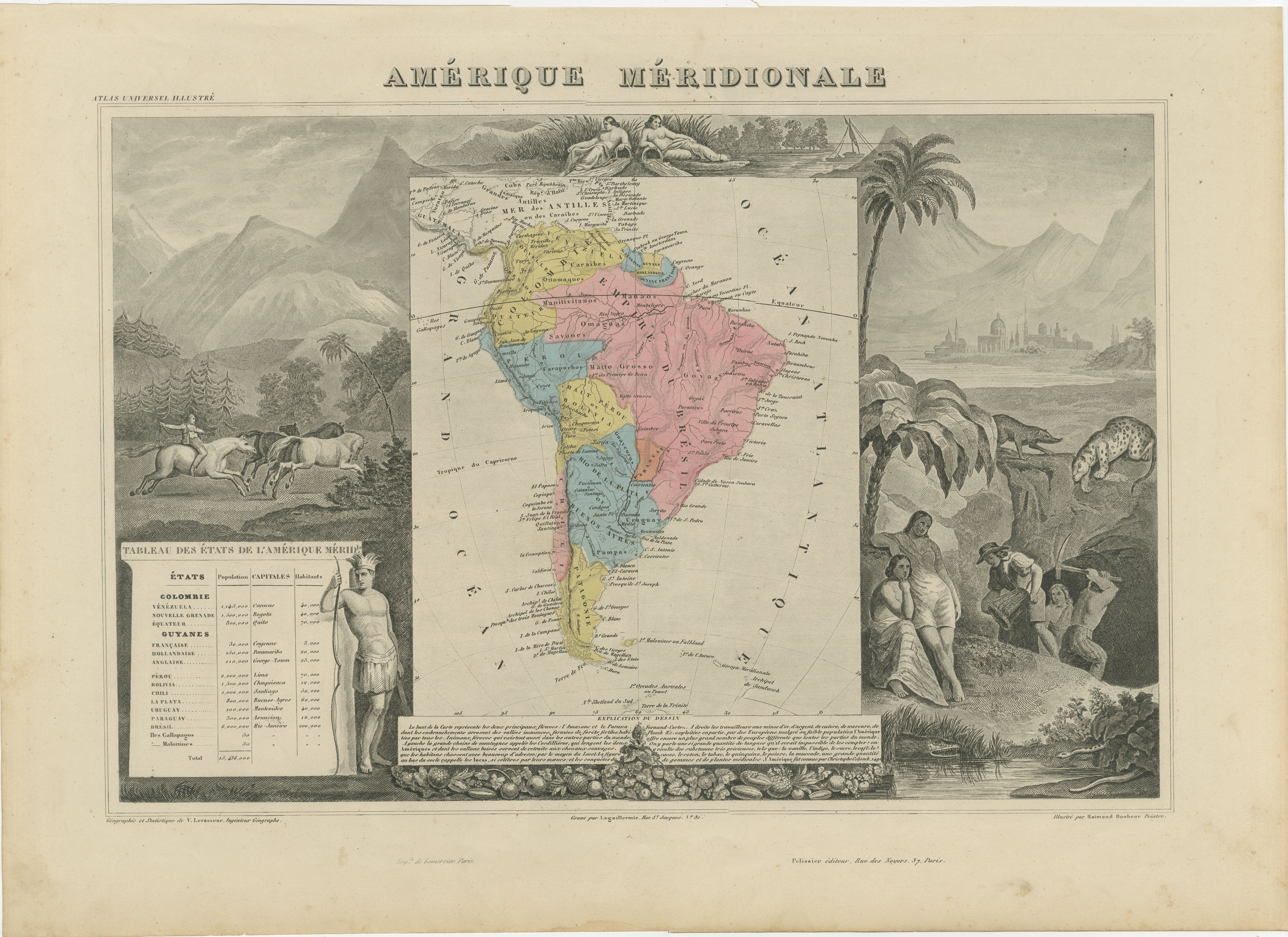
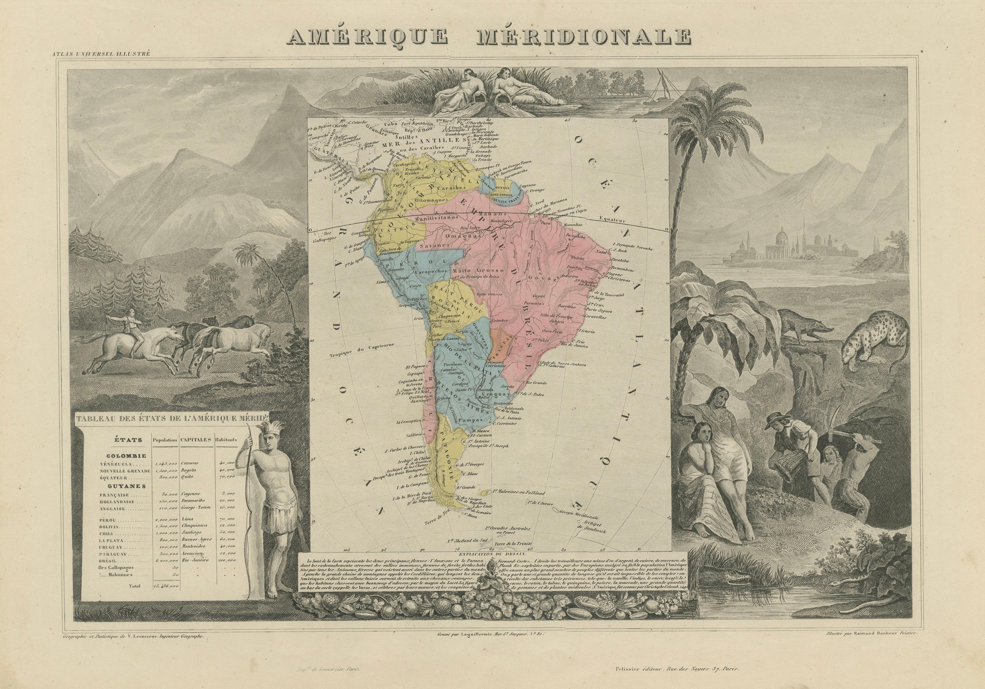
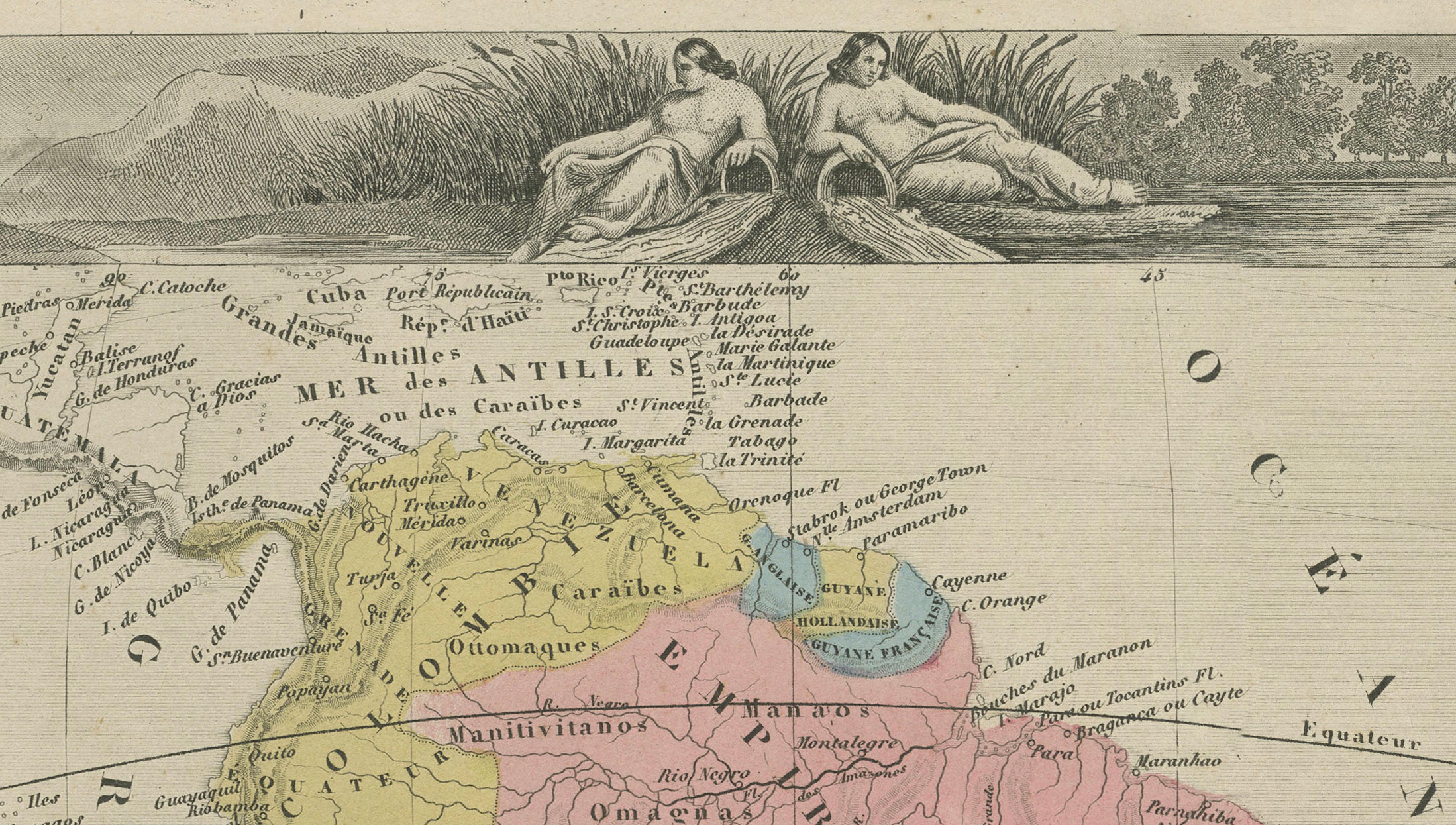
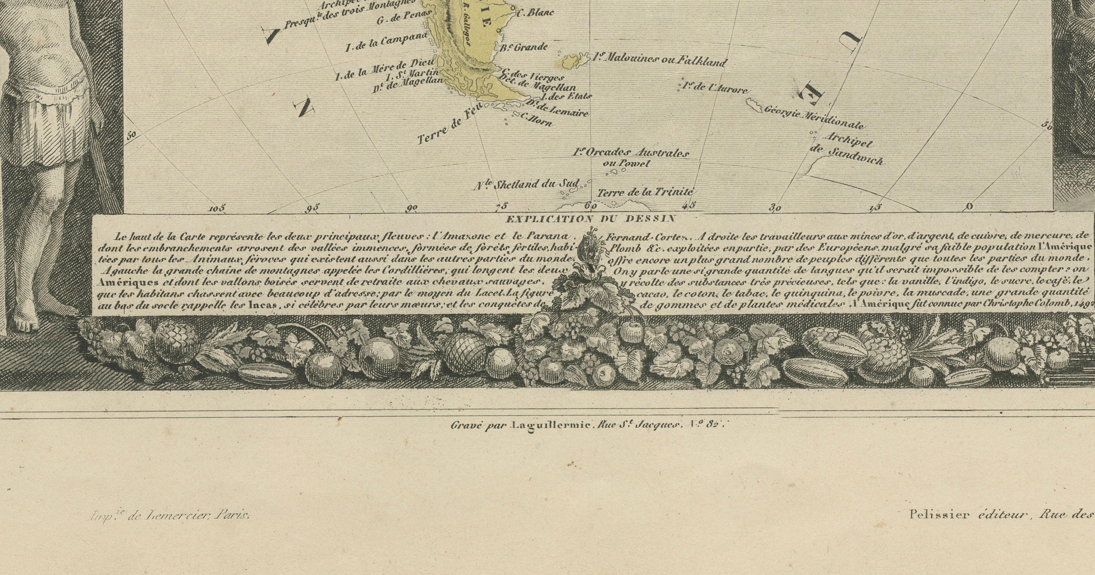
This richly decorative map titled Amérique Méridionale was created by Victor Levasseur and published in Paris circa 1842–1845 as part of the celebrated Atlas Universel Illustré. It represents one of the finest 19th-century decorative maps of South America, combining detailed geography with elaborate engraved ornamentation.
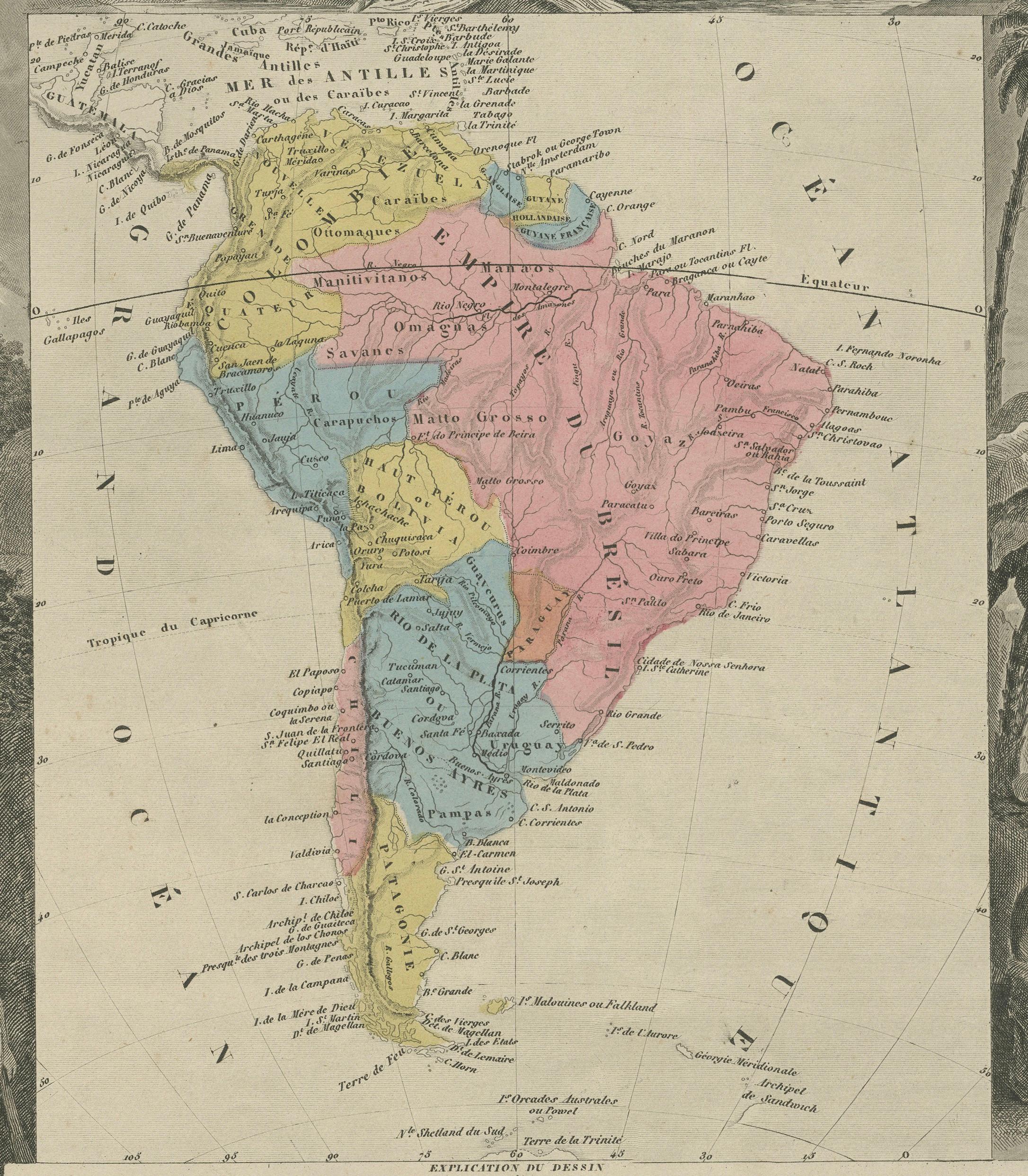
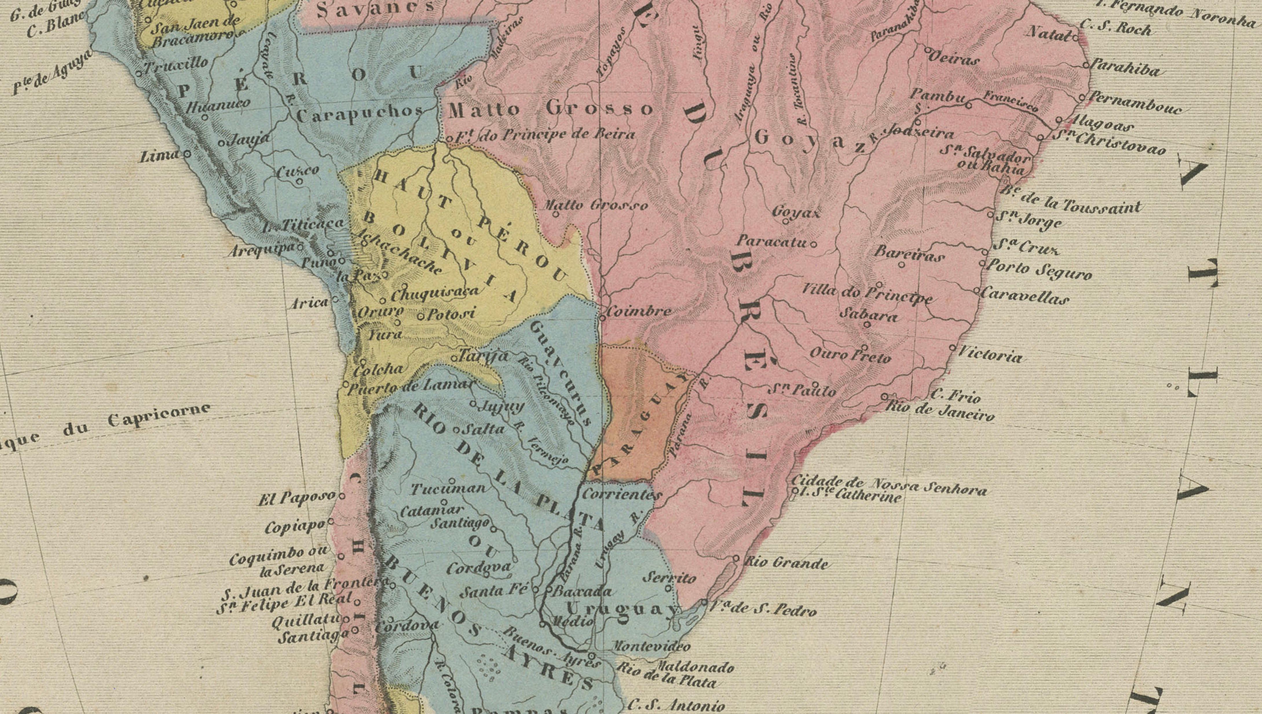
The central map presents South America with hand-colored political divisions, reflecting the post-independence landscape of the continent. Countries such as Brazil (then still an empire), Chile, Peru, and the regions of La Plata and Patagonia are clearly defined, offering a fascinating snapshot of South America during a period of political transformation in the mid-19th century.
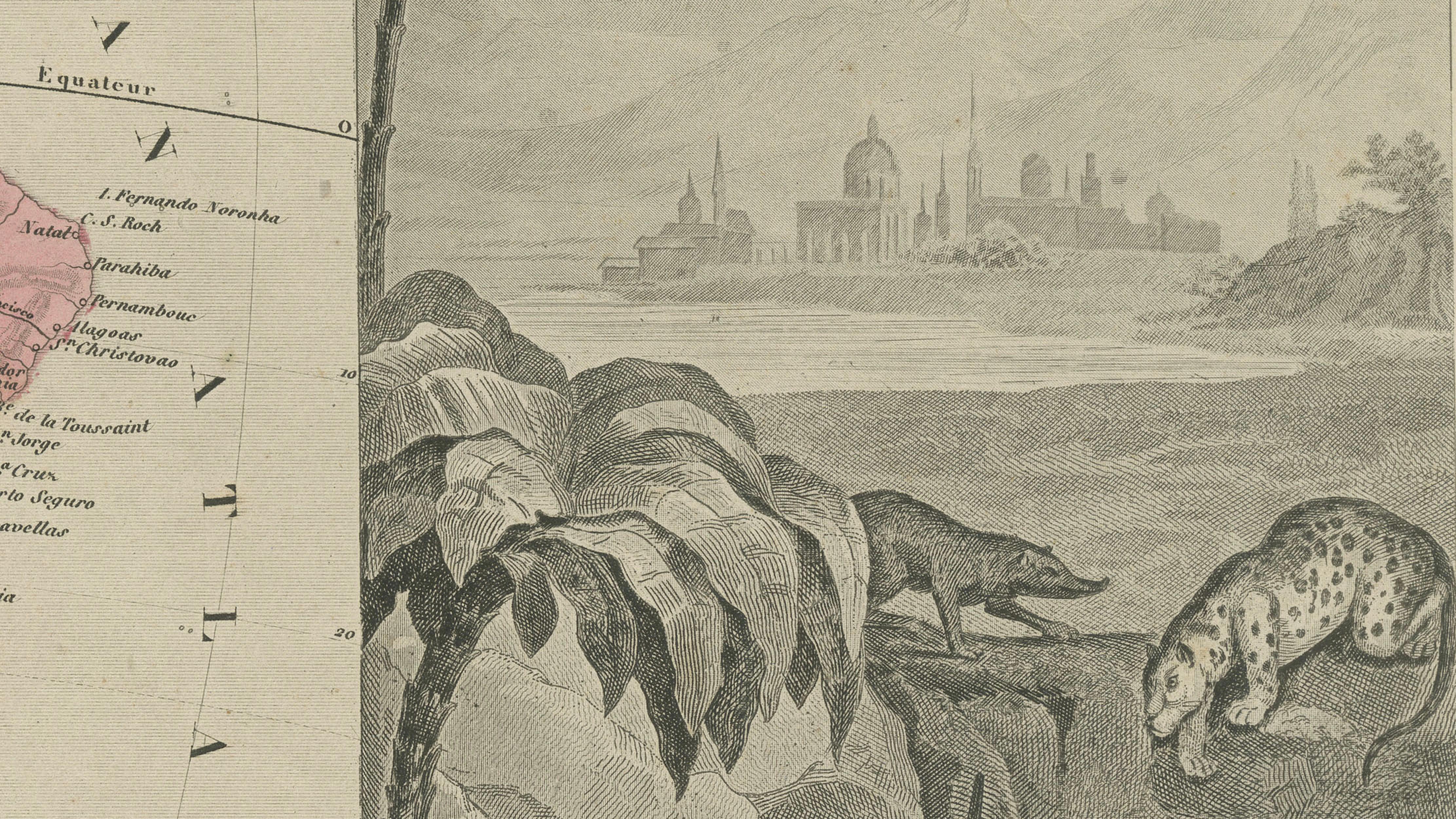
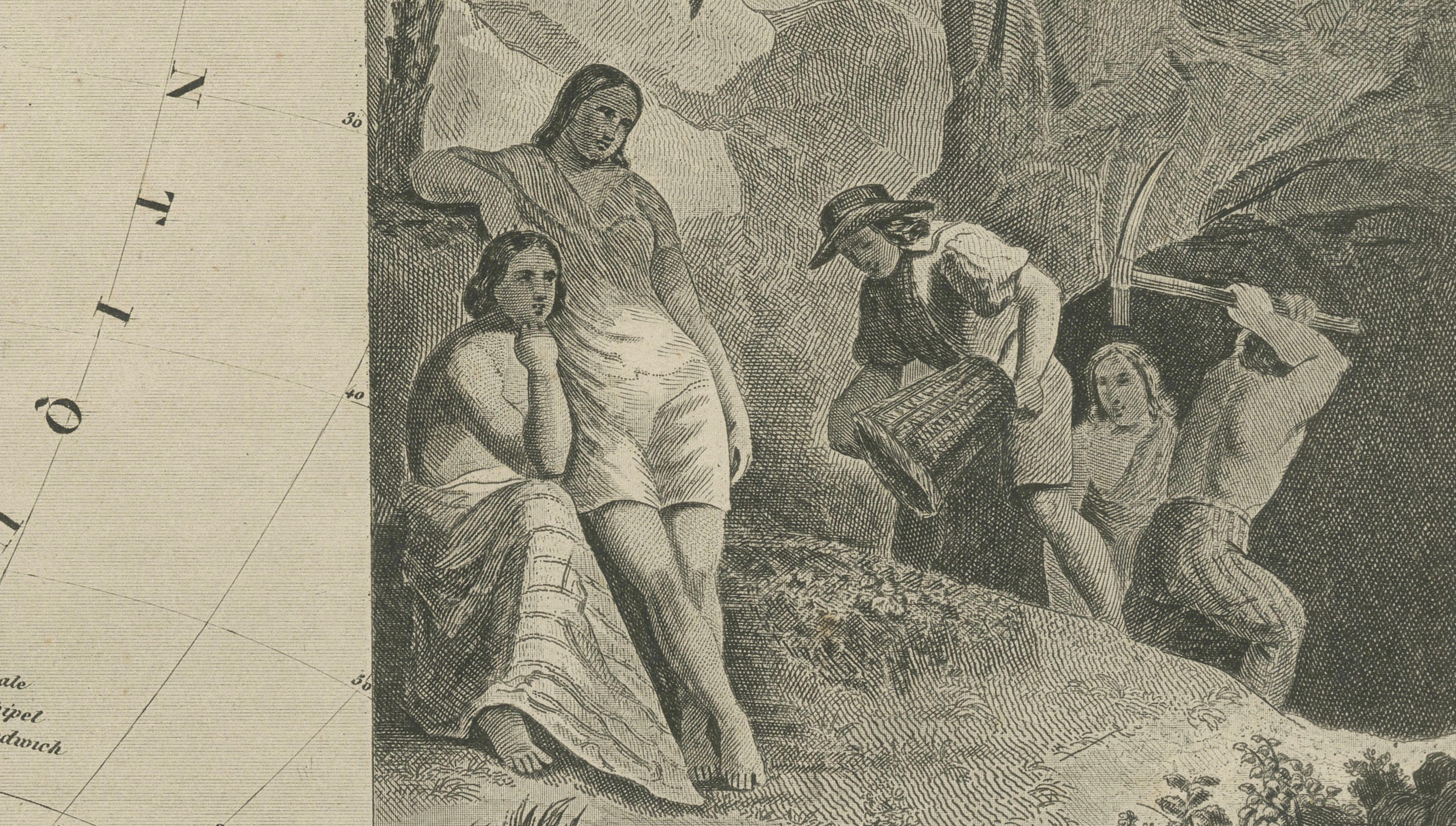
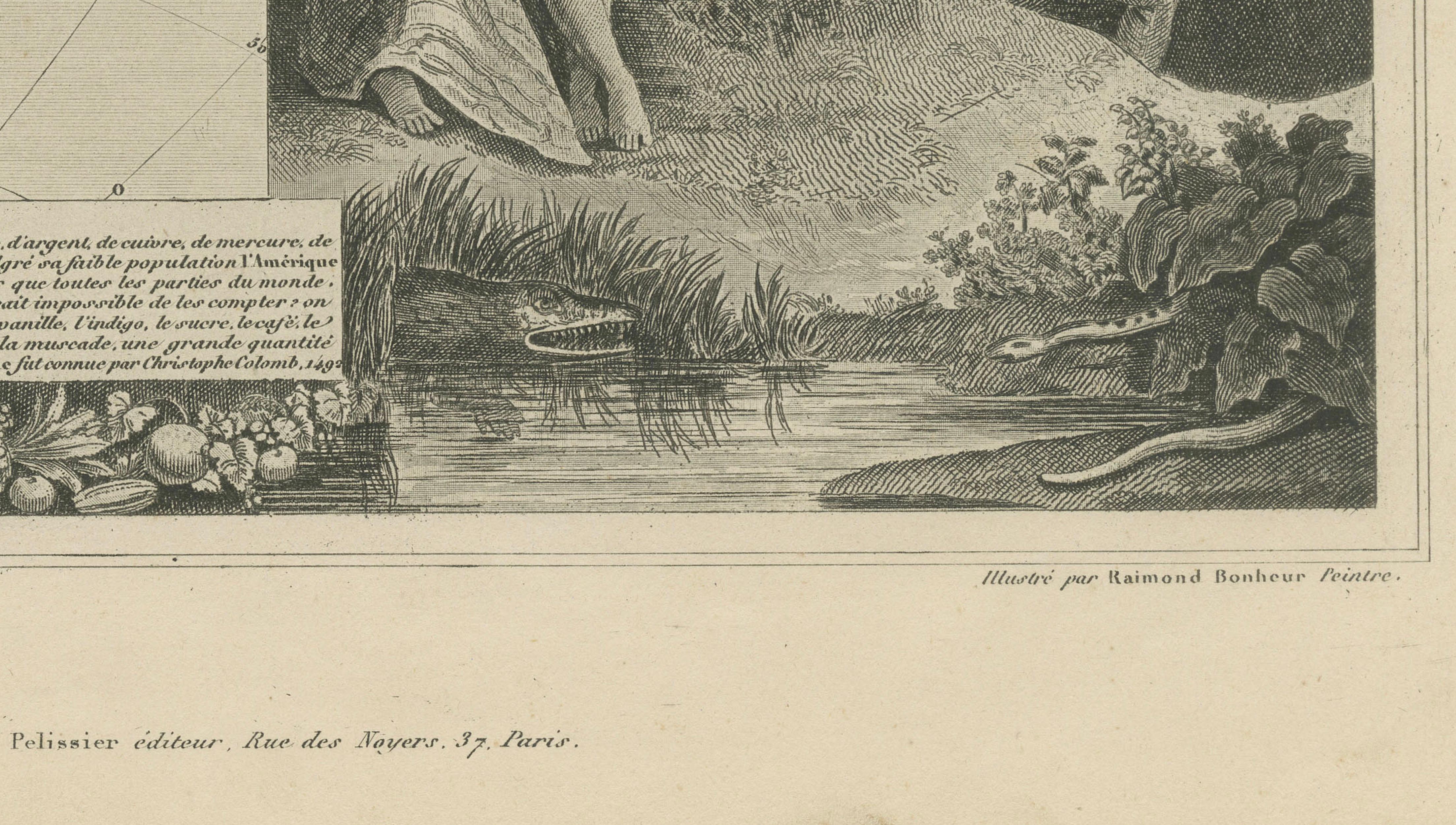
As with all Levasseur maps, the true visual strength lies in the surrounding decorative program, designed by Raymond Bonheur and engraved by Auguste Laguillermie. The composition is framed by romanticized scenes of the South American landscape, including mountainous terrain, tropical vegetation, and detailed depictions of wildlife such as a jaguar and reptiles. Figures representing indigenous inhabitants and local life further enhance the narrative quality of the piece.
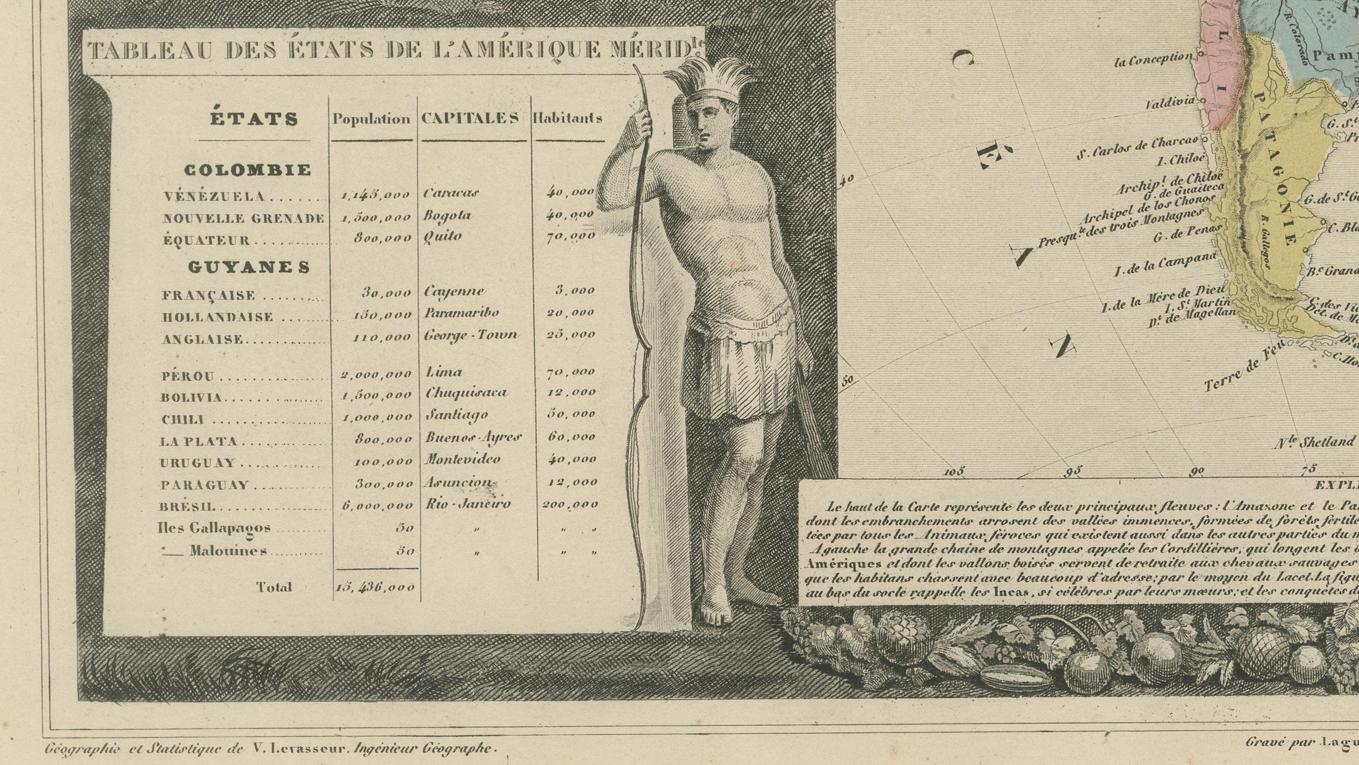
In the lower left, a statistical panel titled Tableau des États de l’Amérique Méridionale provides contemporary data on the various nations, including population and capital cities, reflecting the 19th-century interest in combining geography with empirical knowledge.
Both visually striking and historically informative, Levasseur maps are among the most sought-after decorative works of 19th-century cartography. This example is particularly well suited for interior display and pairs exceptionally well with the companion map of North America.
Note: Interior mockups shown are for visual inspiration only and do not represent the exact scale. We do not sell reproductions, only original works of art over 100 years old.
Condition: Good antique condition with age toning and light foxing. Margins generally well preserved. The engraving is sharp and the original hand coloring remains clear and attractive.
Framing tips: Best presented with a wide ivory mount to highlight the decorative border. A gilded or dark wood frame enhances contrast and gives the piece a refined, classic appearance.
Technique: Steel engraving with original hand coloring
Maker: Victor Levasseur, Paris, circa 1842–1845