About this sheet
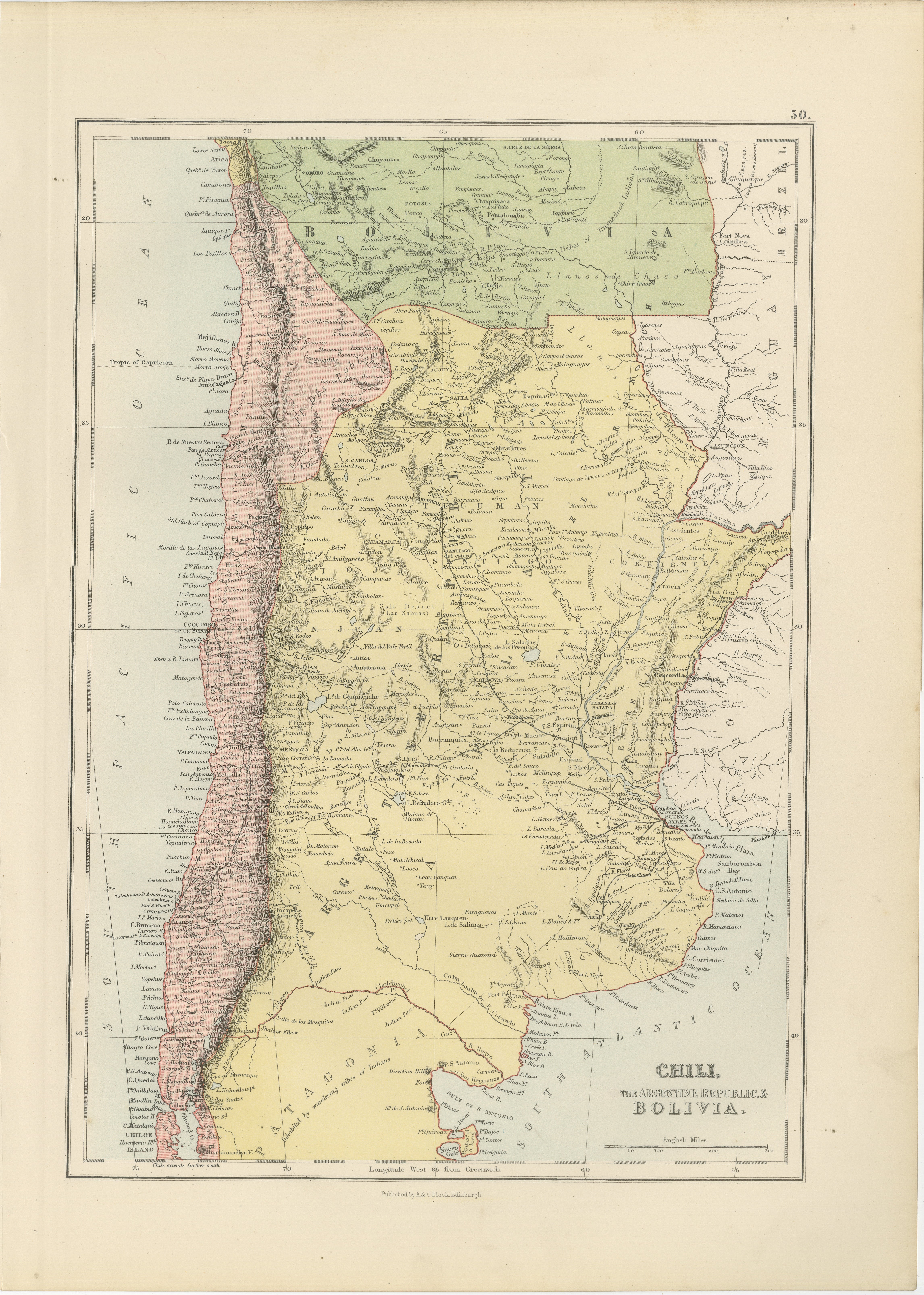
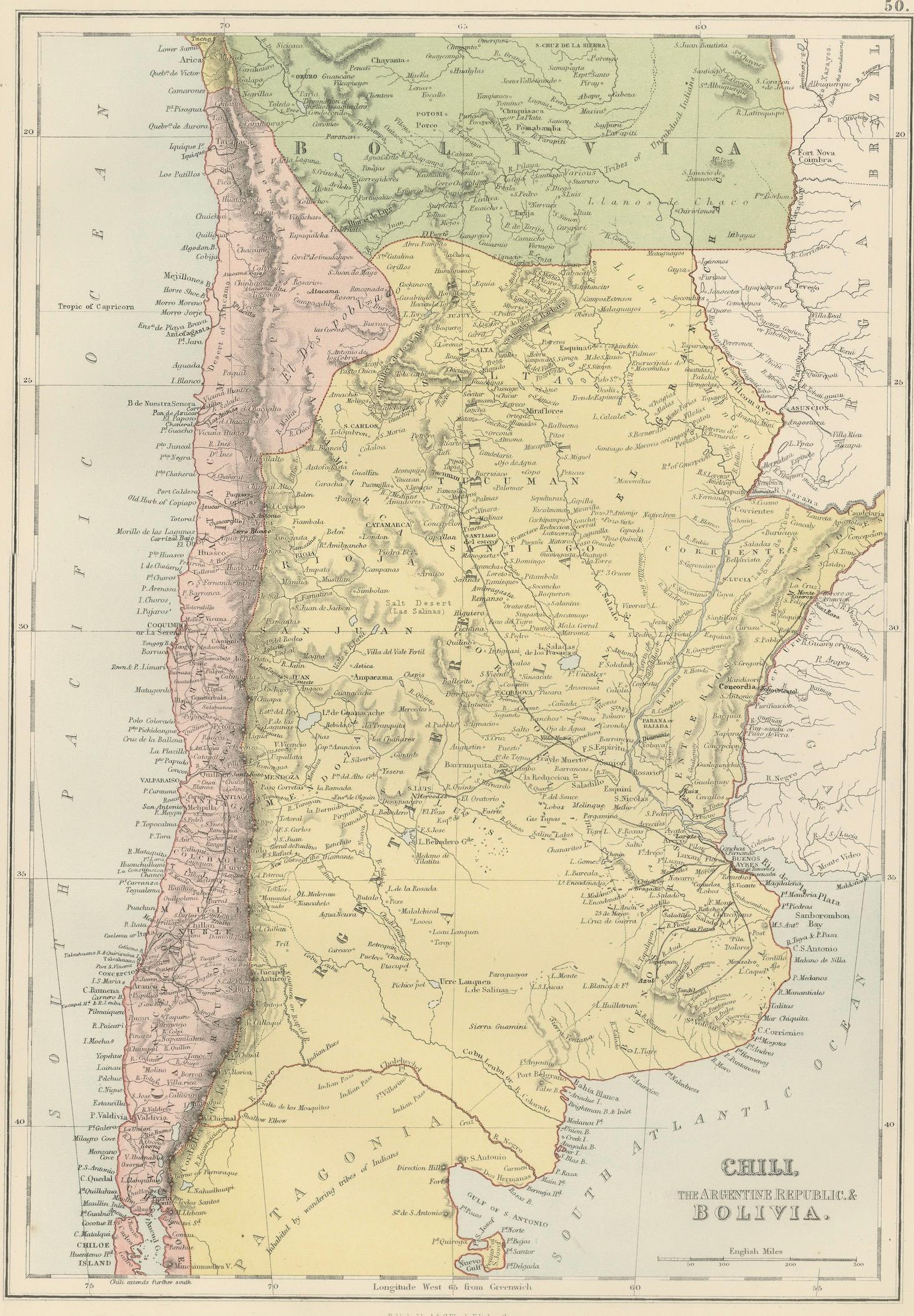
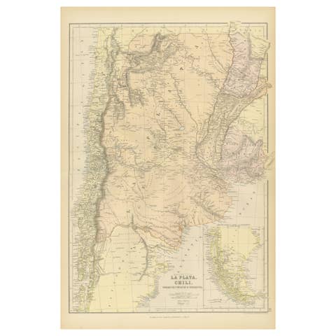
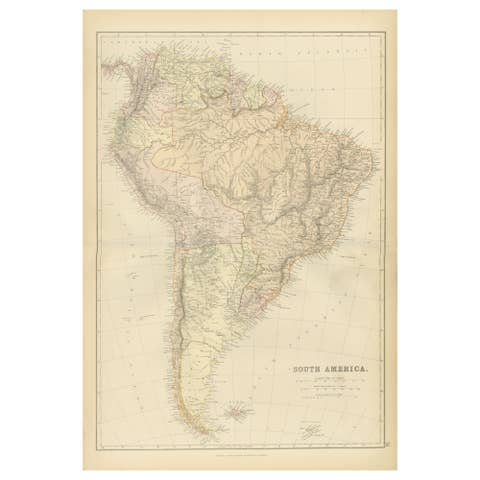
This detailed antique map of Chile, Argentina, and Bolivia was produced under the direction of the distinguished Scottish cartographer John Bartholomew and published by A. & C. Black in Edinburgh in 1884 as part of the New and Revised Edition of Black’s General Atlas of the World. Elegantly engraved and printed in delicate original color, the map presents the southern portion of South America during a period of significant political, economic, and territorial development.
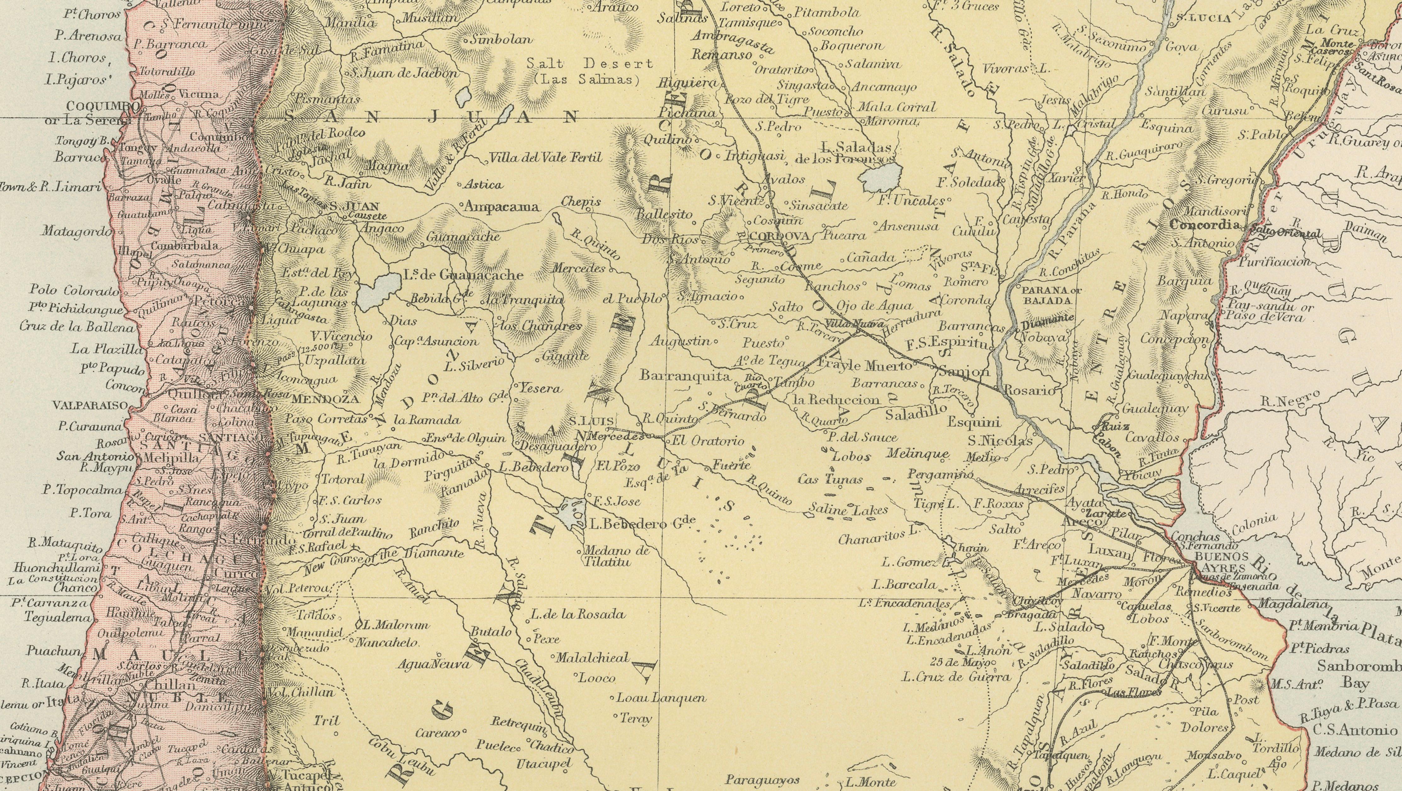
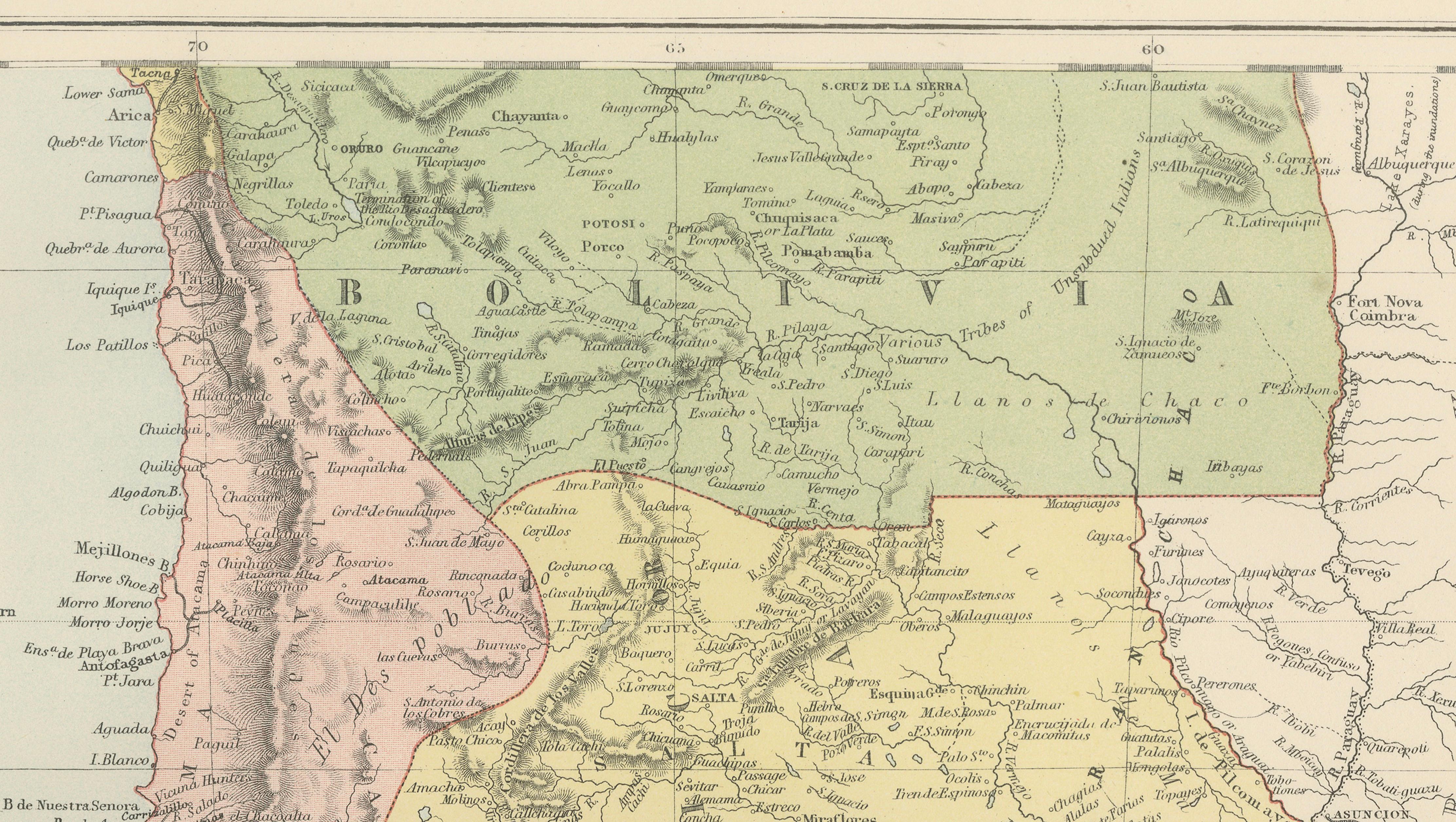
The map covers the entire length of Chile from the Atacama Desert to Patagonia, together with Argentina, Bolivia, portions of Paraguay, and the surrounding regions of the South Atlantic and Pacific Oceans. The Andes Mountains are prominently depicted, forming one of the map's most striking visual features. Hundreds of cities, towns, rivers, mountain passes, railways, and provincial boundaries are identified in remarkable detail.
Notable locations include Santiago, Valparaiso, Mendoza, Cordoba, Rosario, Buenos Aires, La Paz, Potosí, Salta, Tucumán, Antofagasta, Copiapó, Patagonia, Tierra del Fuego, and the Strait of Magellan. The map captures the region shortly after the War of the Pacific (1879–1884), a pivotal conflict that reshaped territorial boundaries between Chile, Bolivia, and Peru. As such, it offers a fascinating historical record of South America at a transformative moment in its history.
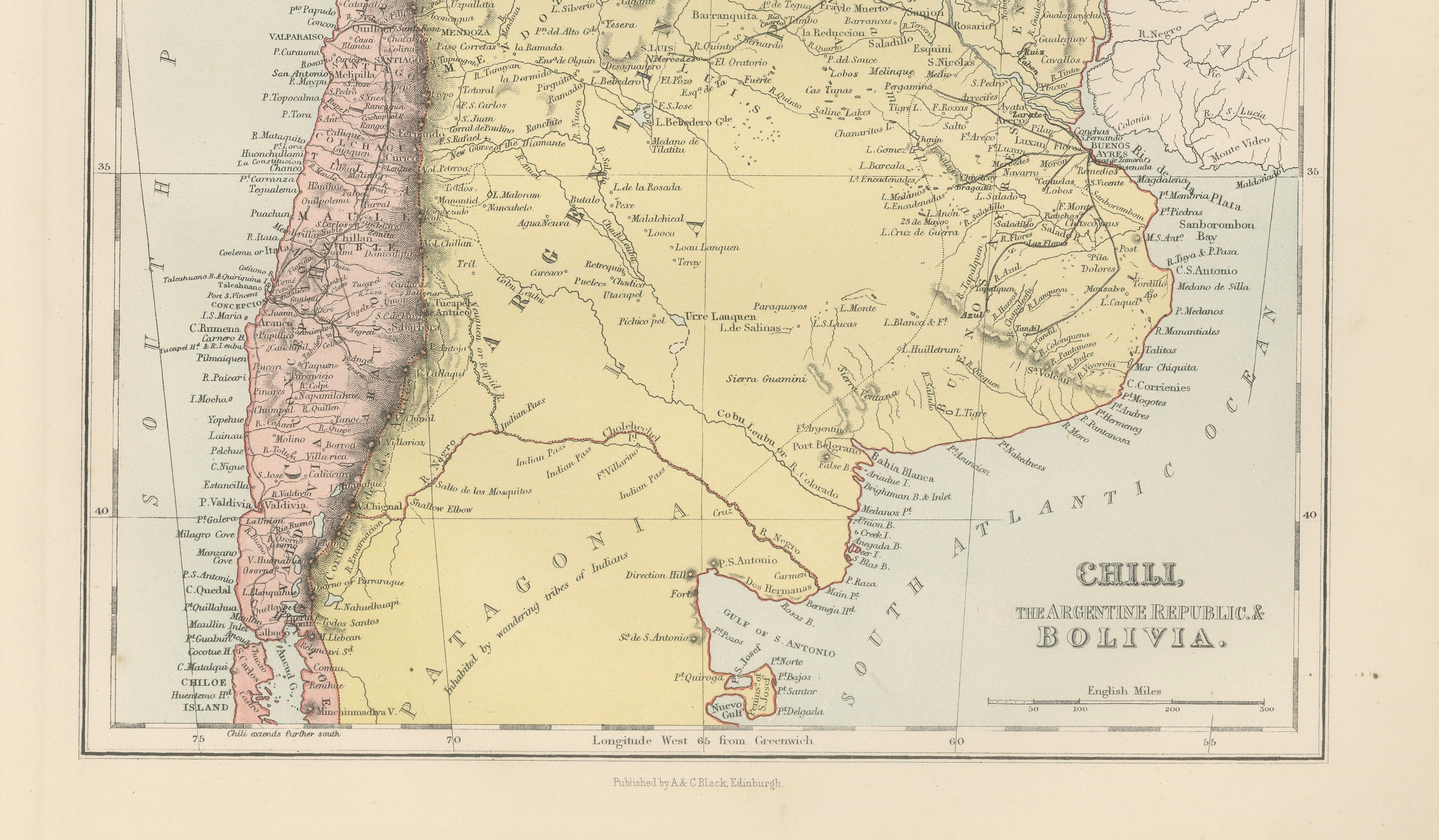
The depiction of Patagonia and the southern territories is particularly appealing, reflecting the growing interest in exploration, settlement, and international trade during the late nineteenth century. The map also highlights important transportation routes and commercial centers that contributed to the rapid modernization of the region.
John Bartholomew was one of the most influential cartographers of the Victorian era. His maps for A. & C. Black became celebrated for their accuracy, clarity, and refined presentation. Black’s General Atlas was widely used throughout Britain, Europe, and the British Empire and remains one of the most respected atlas publications of the nineteenth century.
This map is both decorative and historically significant, making it an excellent addition for collectors of South American cartography, Chilean history, Argentine history, exploration, geography, colonial studies, and nineteenth-century travel.
Keywords: Chile, Argentina, Bolivia, Patagonia, Tierra del Fuego, Strait of Magellan, Santiago, Valparaiso, Buenos Aires, Mendoza, Cordoba, Rosario, La Paz, Potosí, Salta, Tucumán, Andes Mountains, Atacama Desert, South America, War of the Pacific, Victorian map, antique map, John Bartholomew, A. & C. Black, Edinburgh, exploration, cartography, geography.
Condition: Good antique condition with age-related toning and light wear consistent with age. Please study the photographs carefully for the most accurate impression of condition.
Framing tips: This map displays beautifully in a dark walnut, ebonized, or museum-black frame with a warm ivory mat. A subtle gilt liner can enhance the delicate original color and provide an elegant nineteenth-century presentation suitable for both traditional and contemporary interiors.
This offering is for an original nineteenth-century engraved map, printed in 1884, and is not a modern reproduction, facsimile, or later copy.
Any framed room visualizations shown are provided solely for display inspiration. The map is sold unframed. Such visualizations may not accurately represent the print's exact dimensions, scale, or proportions relative to the frame or interior setting.
Technique: Engraving with printed color
Maker: J. Bartholomew for A. & C. Black, Edinburgh, 1884