About this sheet
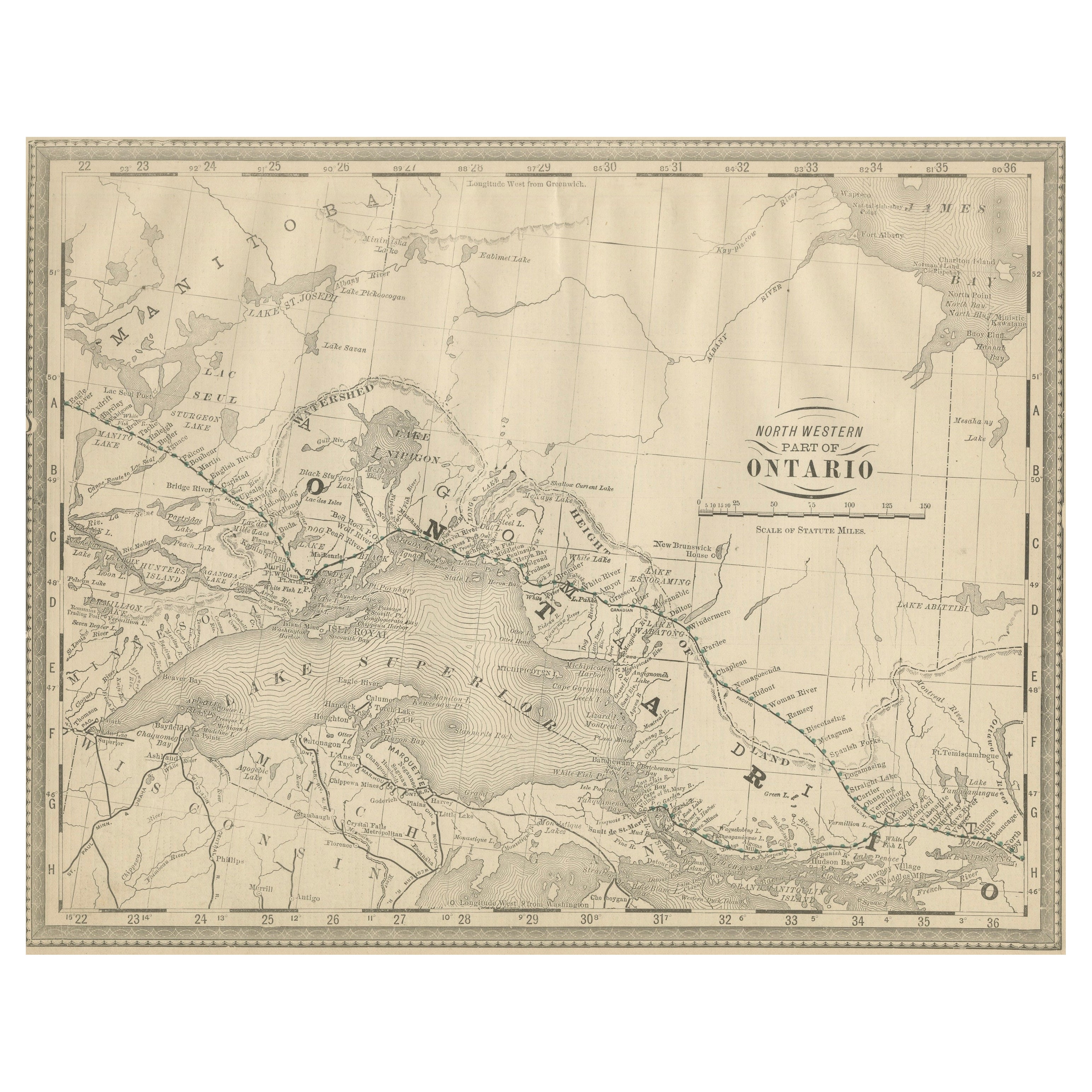
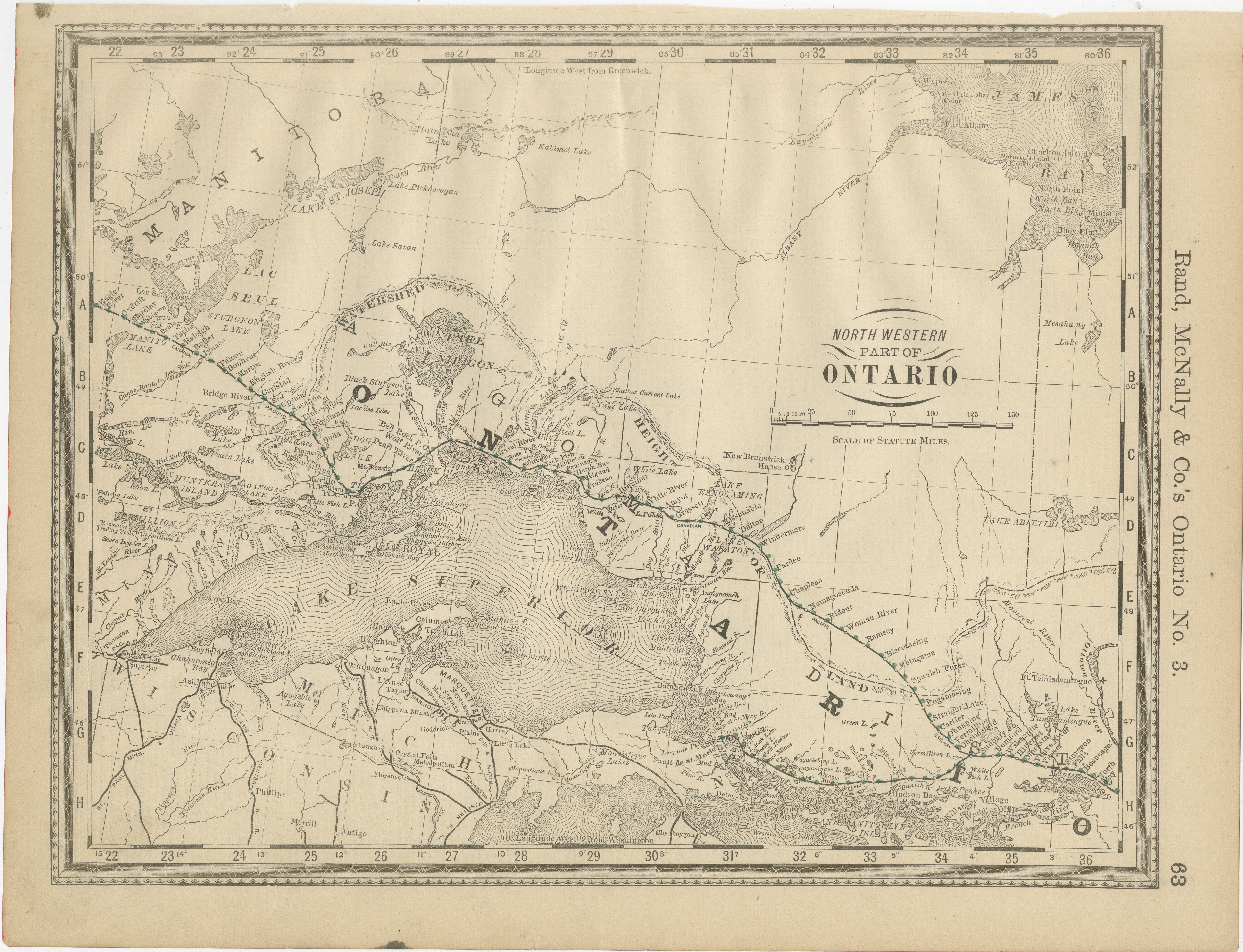
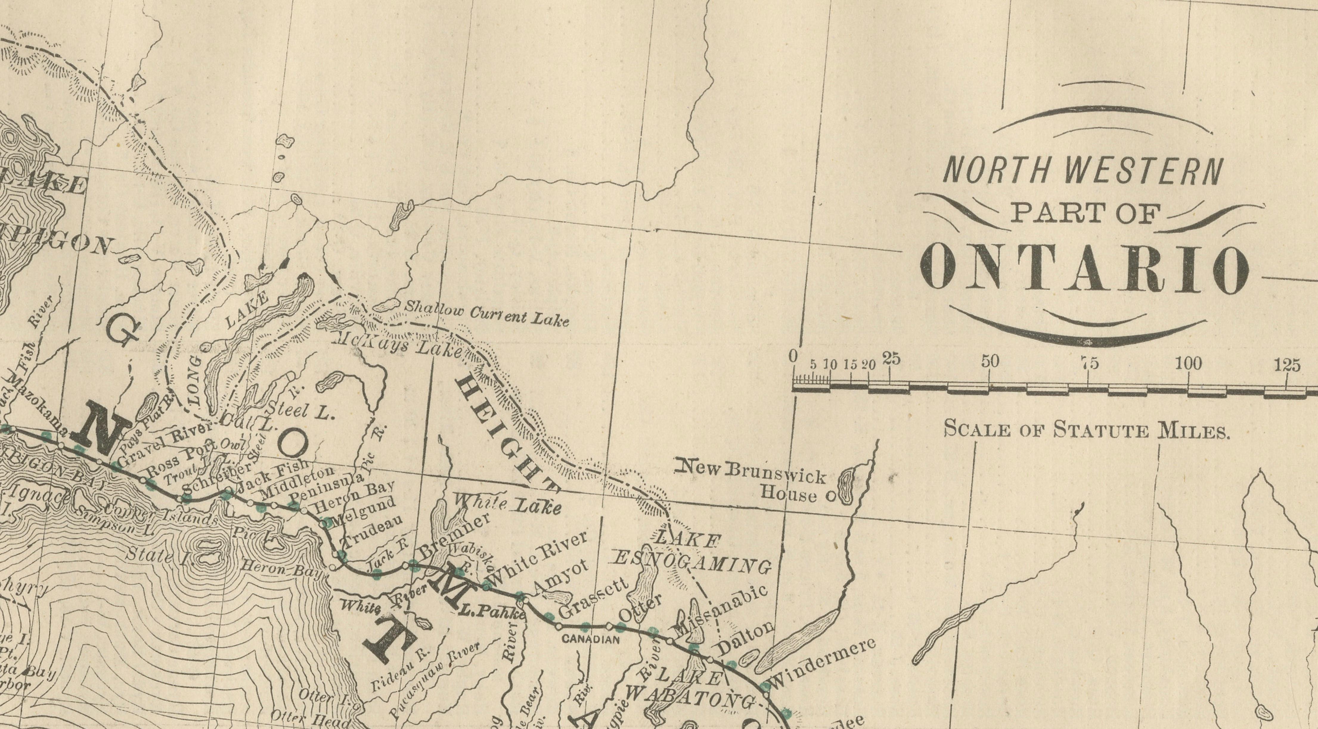
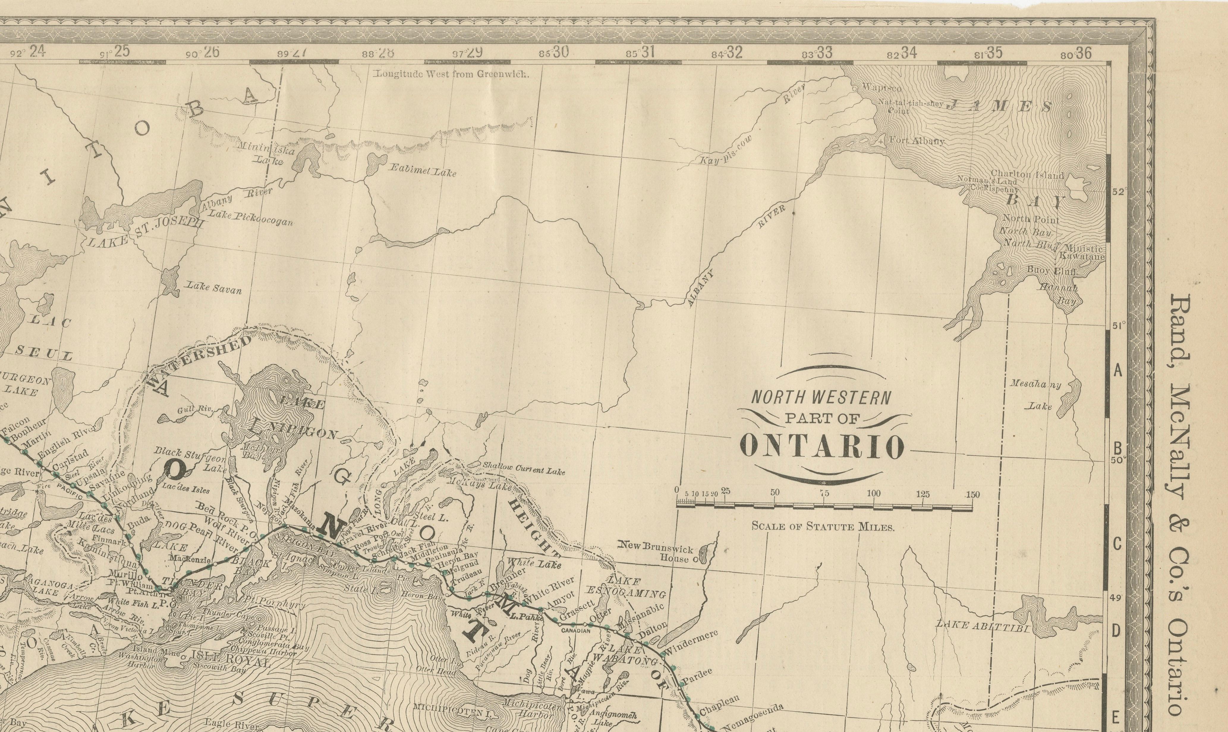
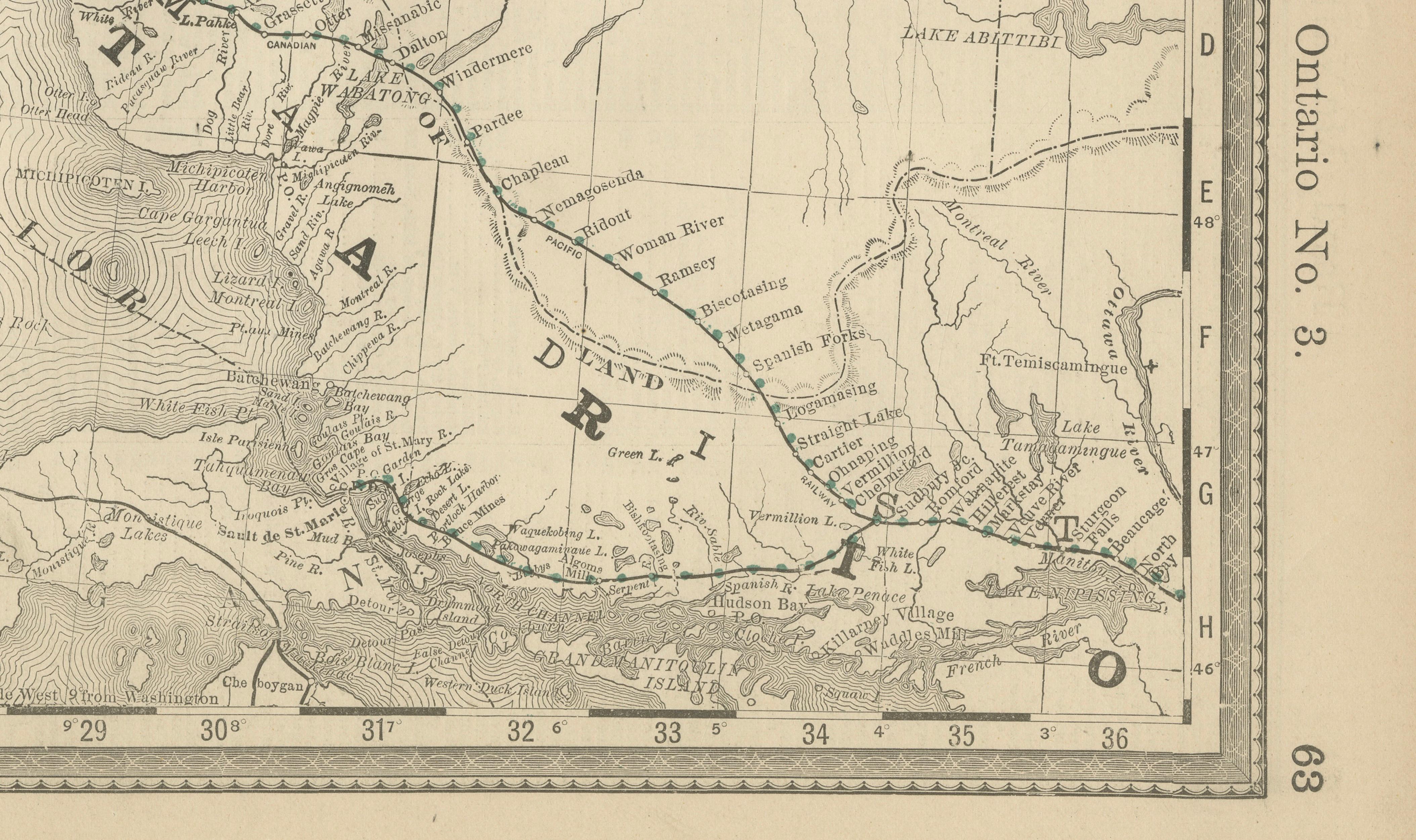
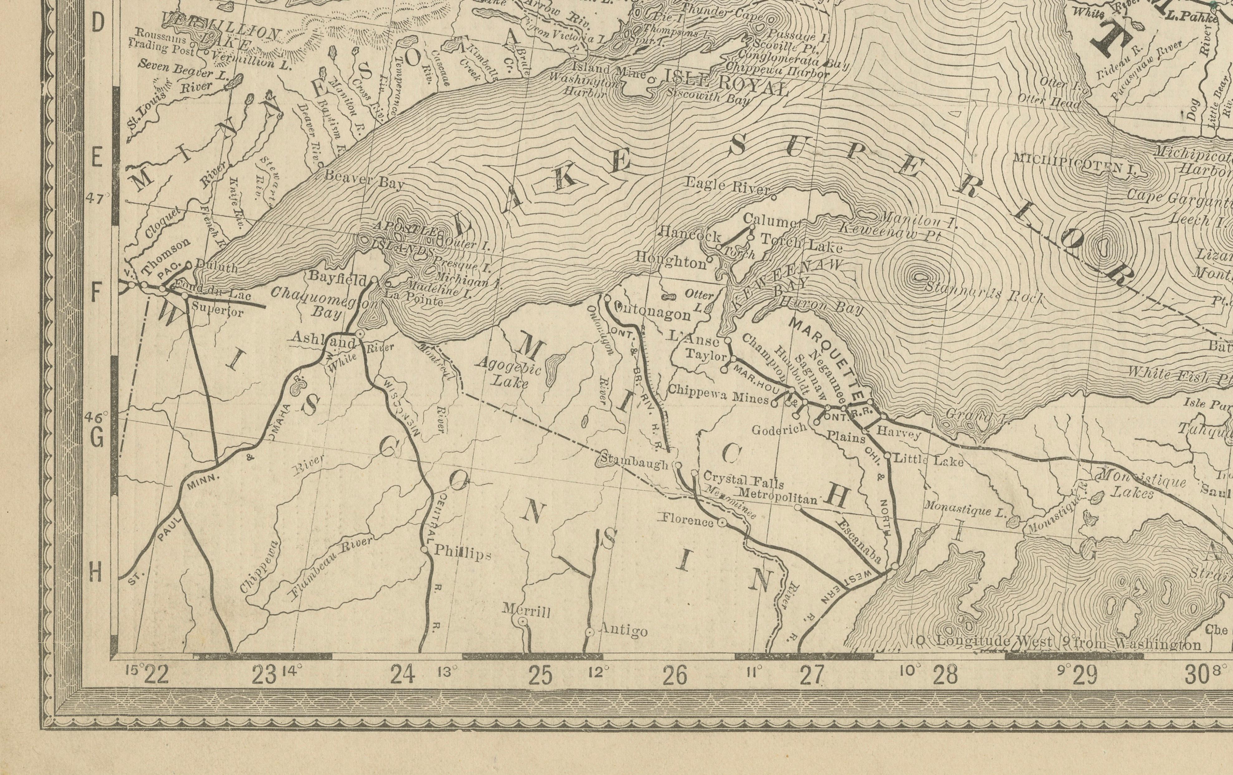
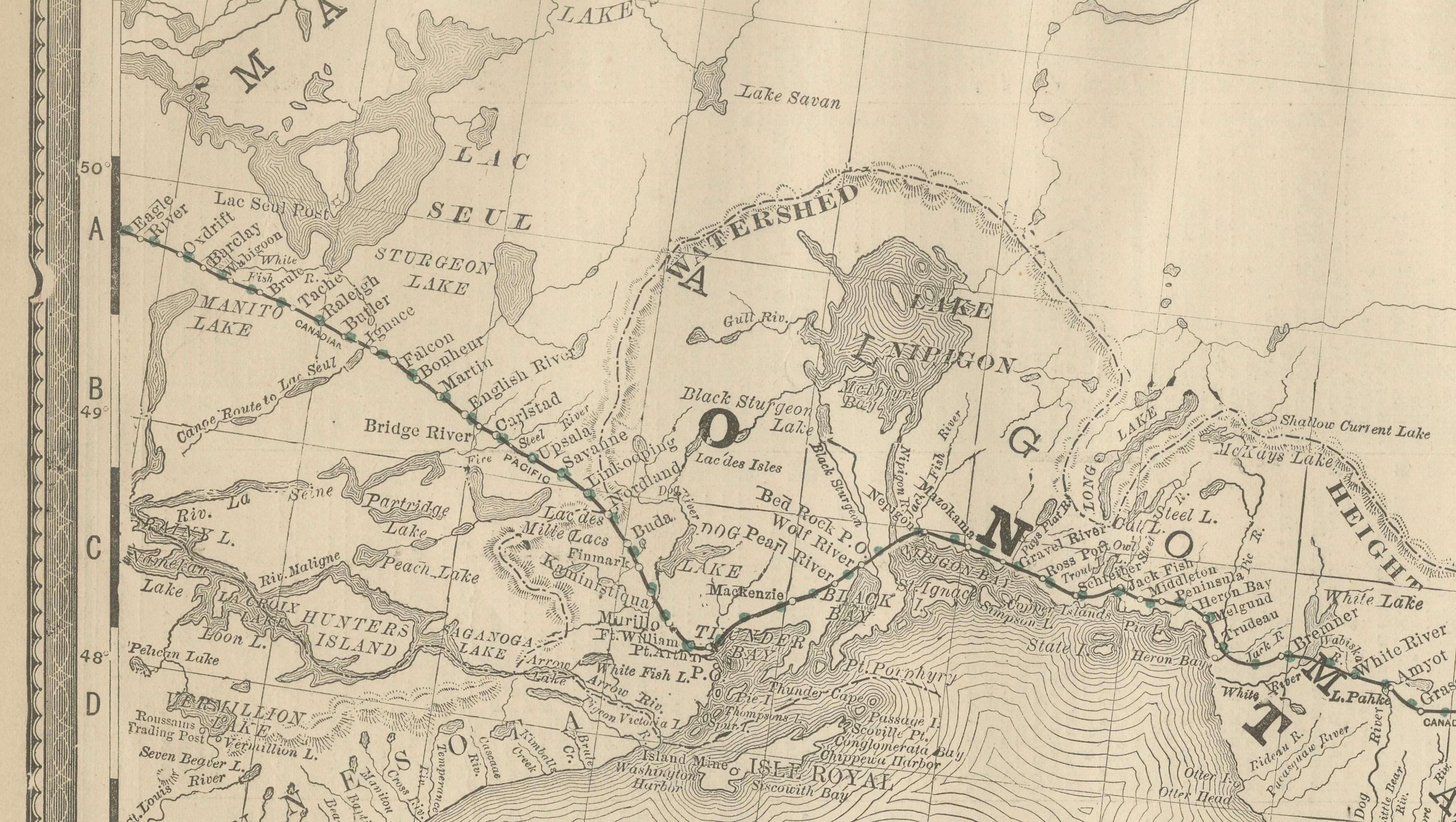
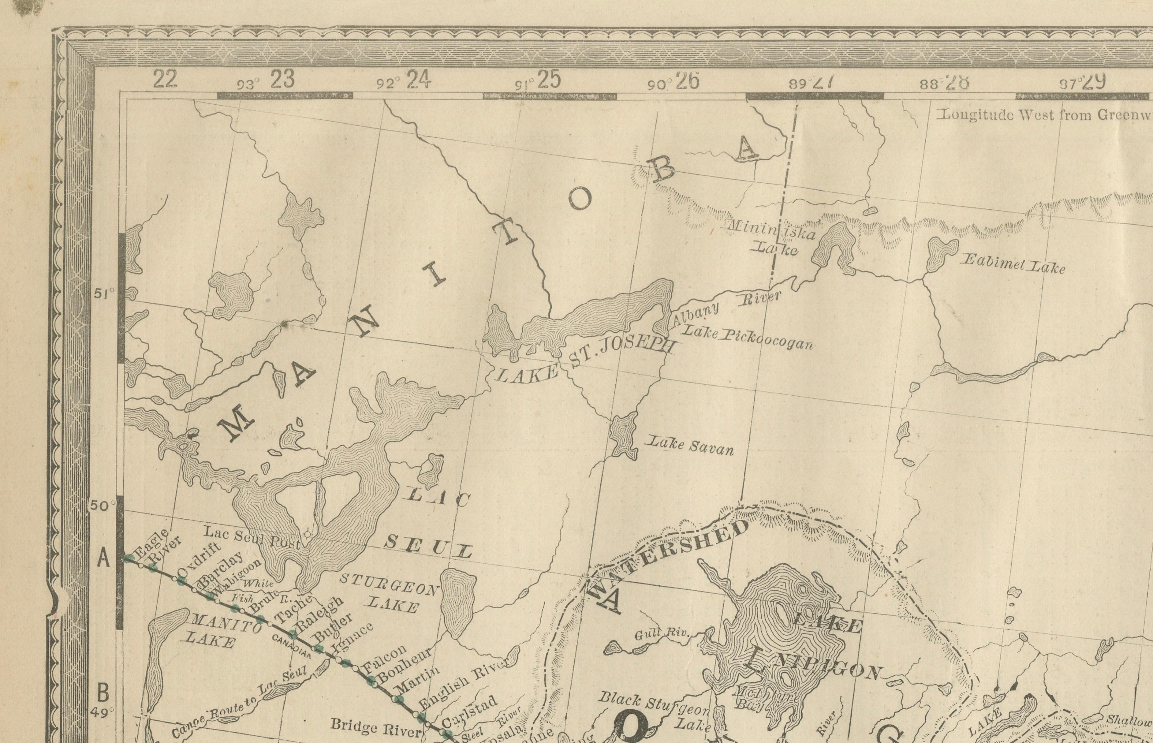
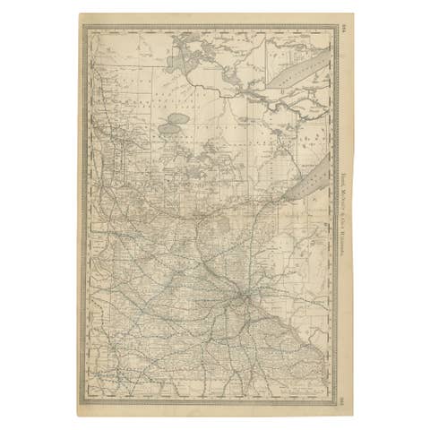
This original antique atlas map depicts Ontario with a strong focus on Lake Superior, Lake Nipigon, and the vast northern interior of the province. Rendered with the clarity and precision Rand, McNally & Co. were known for, the map presents coastlines, river systems, portages, settlements, and early transportation routes across what was then a sparsely populated but strategically important region.
Lake Superior dominates the composition with dramatic engraved shoreline shading, while surrounding areas show places such as Sault Ste. Marie, Thunder Bay (Fort William / Port Arthur), Lake Nipigon, and routes extending toward Hudson Bay. The careful balance between open space and dense coastal detail gives the map a calm, graphic quality that works exceptionally well as wall art.
Originally published in a late-19th-century Rand McNally atlas, this sheet was intended for reference but now reads as a refined decorative object. The restrained palette, fine linework, and generous margins make it particularly attractive for interiors focused on travel, exploration, or North American history.
Printed on original atlas paper, the surface shows authentic age toning and texture, offering the warmth and presence collectors seek in genuine antique maps rather than later reproductions.
Condition report: Even age toning throughout. Light edge wear and minor handling marks consistent with original atlas use. No major tears or losses; overall a clean and well-preserved example.
Framing tips: Frame in light oak, walnut, or brushed black with a wide off-white mat to emphasize the lake contours. Museum glass recommended for preservation and clarity.
Technique: Color lithograph
Maker: Rand, McNally & Co., United States, late 19th century
Keywords:
antique ontario map, lake superior map, northern ontario wall art, rand mcnally map, canada antique map, great lakes map, lake nipigon map, exploration map decor, antique atlas map, canadian wall art