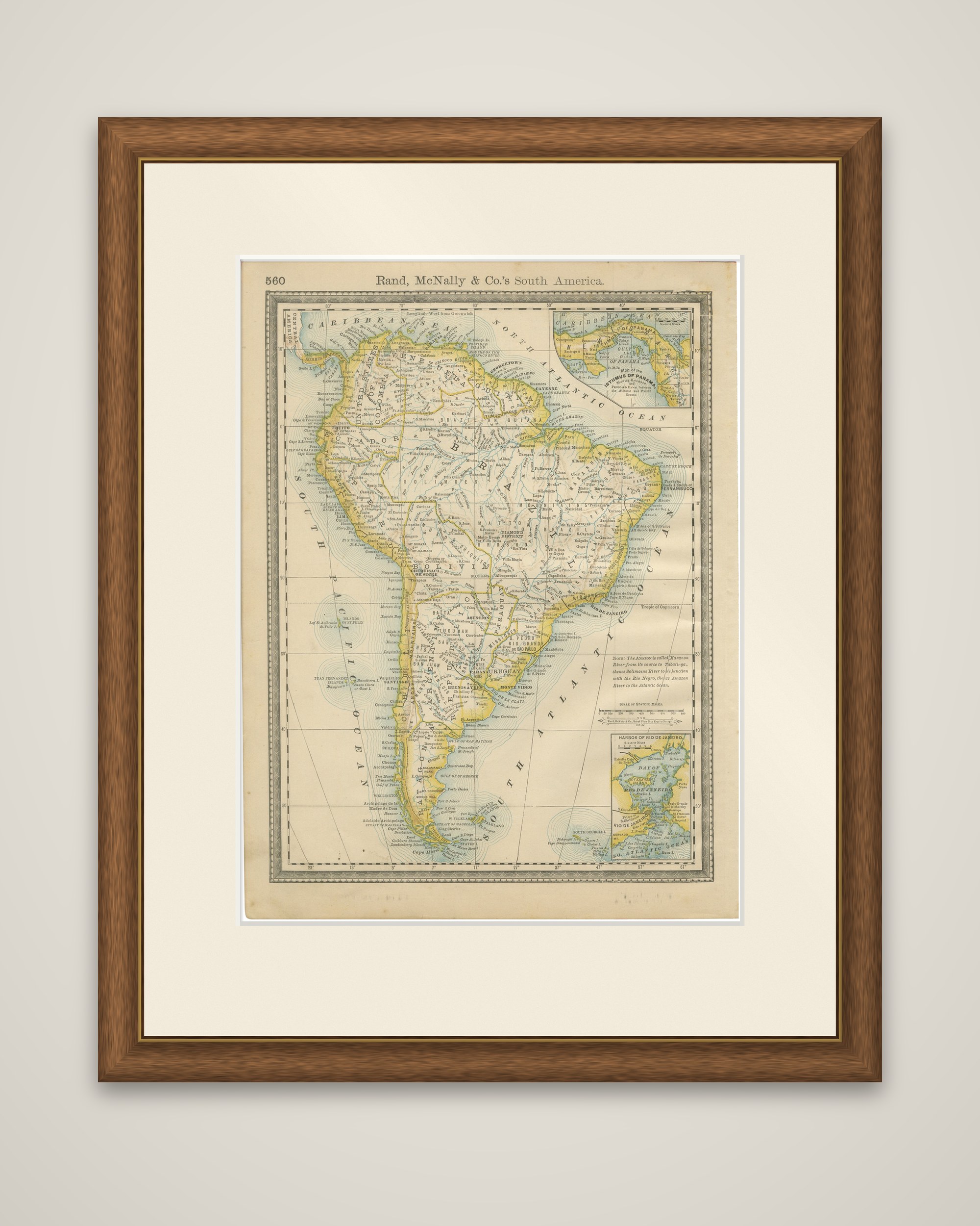
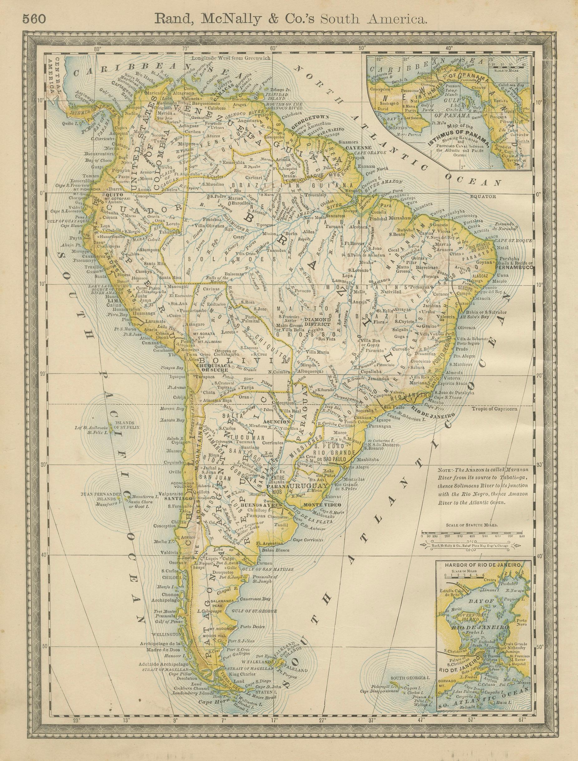
Antique South America Map Wall Art – Brazil, Andes & Amazon, Rand McNally, 1888
€ 210
Original antique · The actual sheet photographed · Certificate of authenticity on request · Sold unframed · Worldwide shipping from € 15 (rates)
Date
1888
Sheet size
36 × 27 cm (14.2 × 10.6 in)
Condition
Good
Reference
BG-12794-66
What the condition grades mean
Excellent
Bright and clean, with no faults worth mentioning.
Very good
Only light signs of age, such as faint toning.
Good
Normal signs of age for a sheet of this period: toning, some foxing, small marks or neat old repairs.
Fair
Clear faults such as staining, tears or repairs, priced to match.
Every fault we see is written in the condition note, and the whole sheet is shown uncropped in the photos.
Condition
Even age toning throughout. Light edge wear and minor handling marks consistent with original atlas binding. No major tears or losses; overall a clean, attractive example.
About this sheet
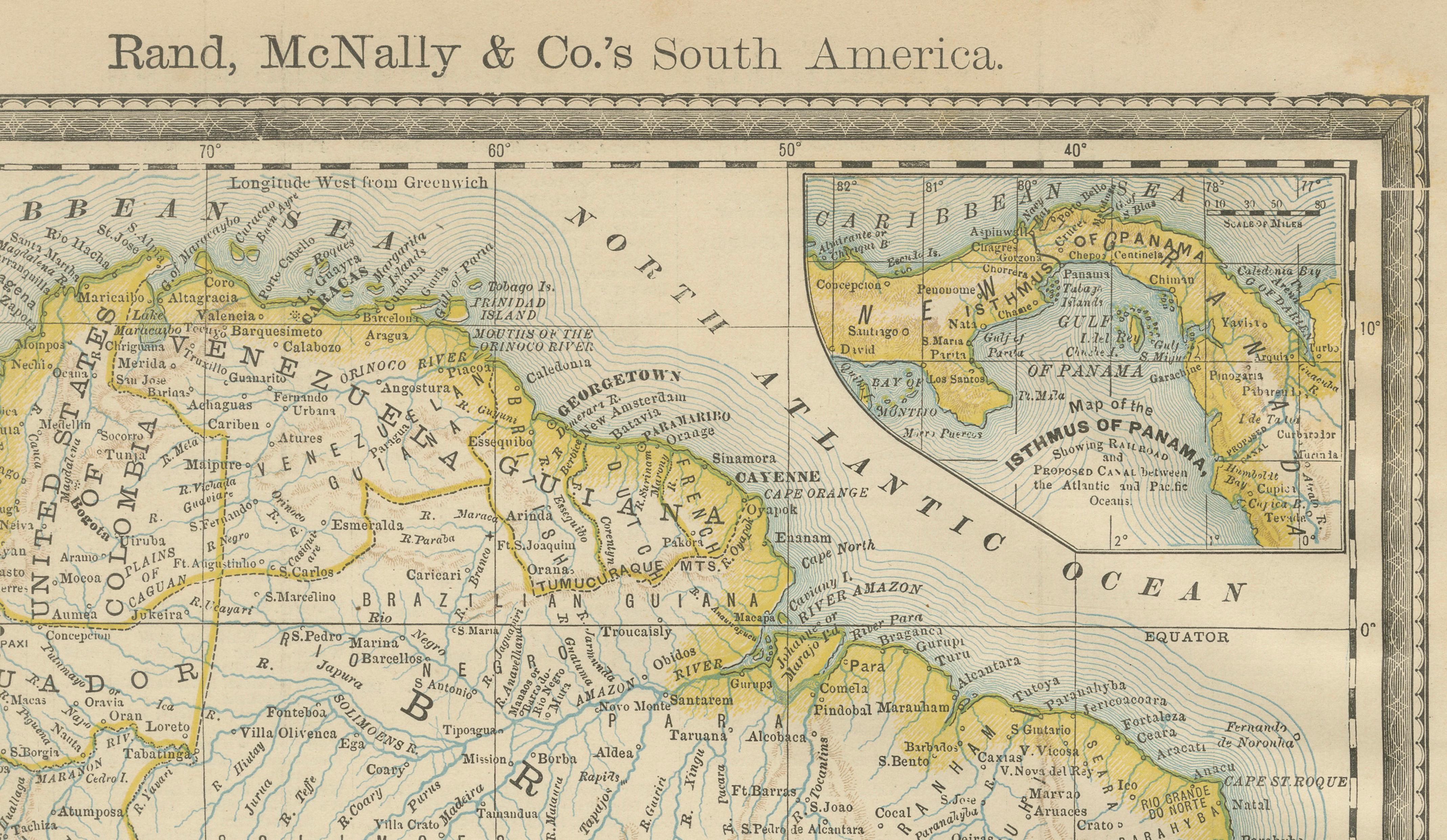
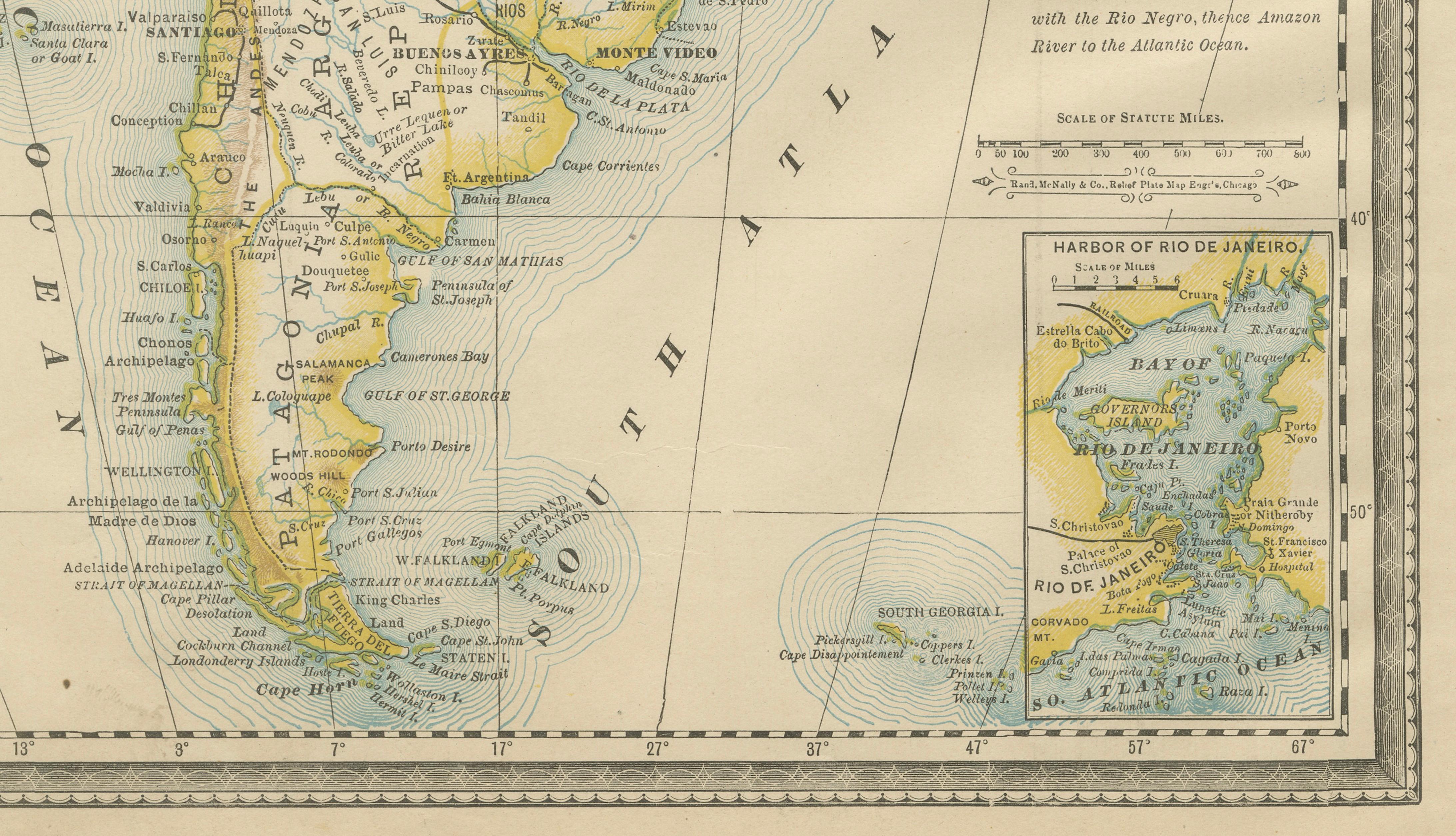
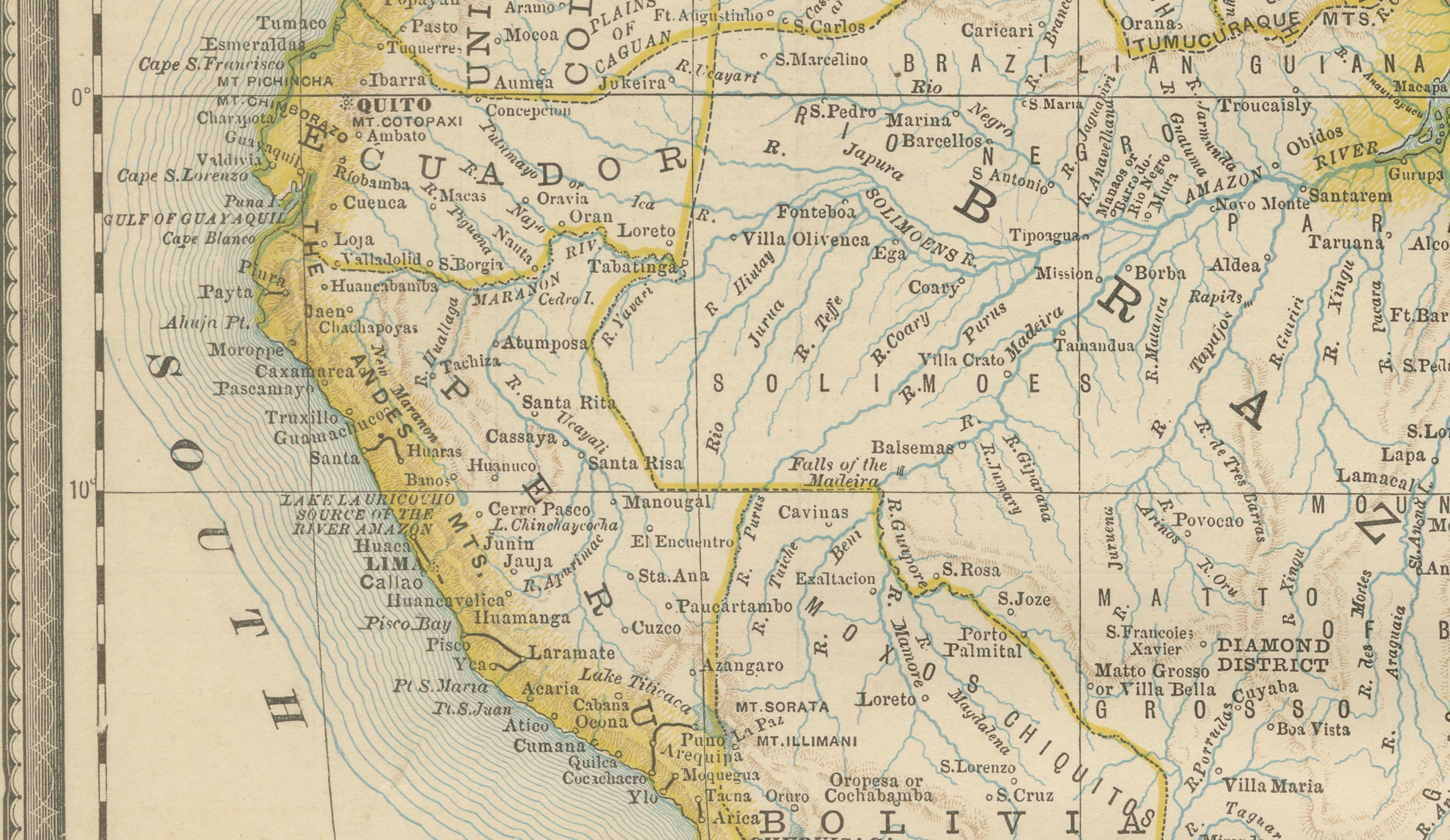
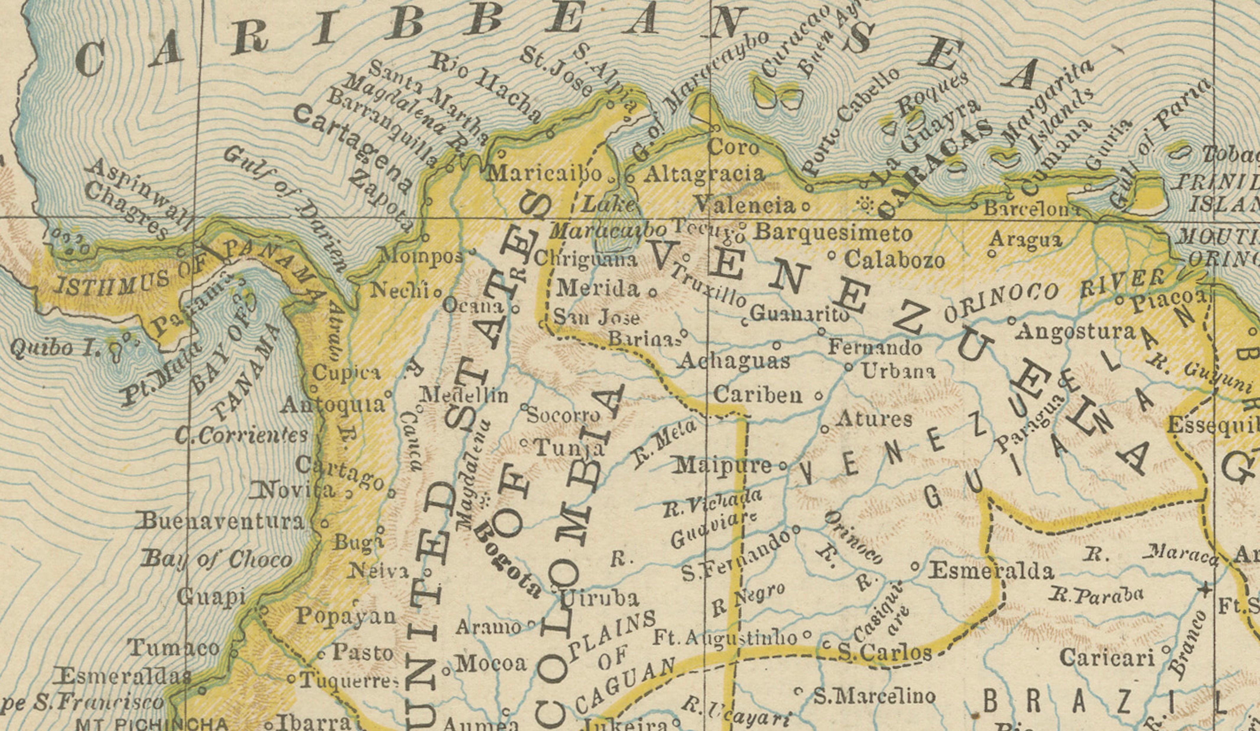
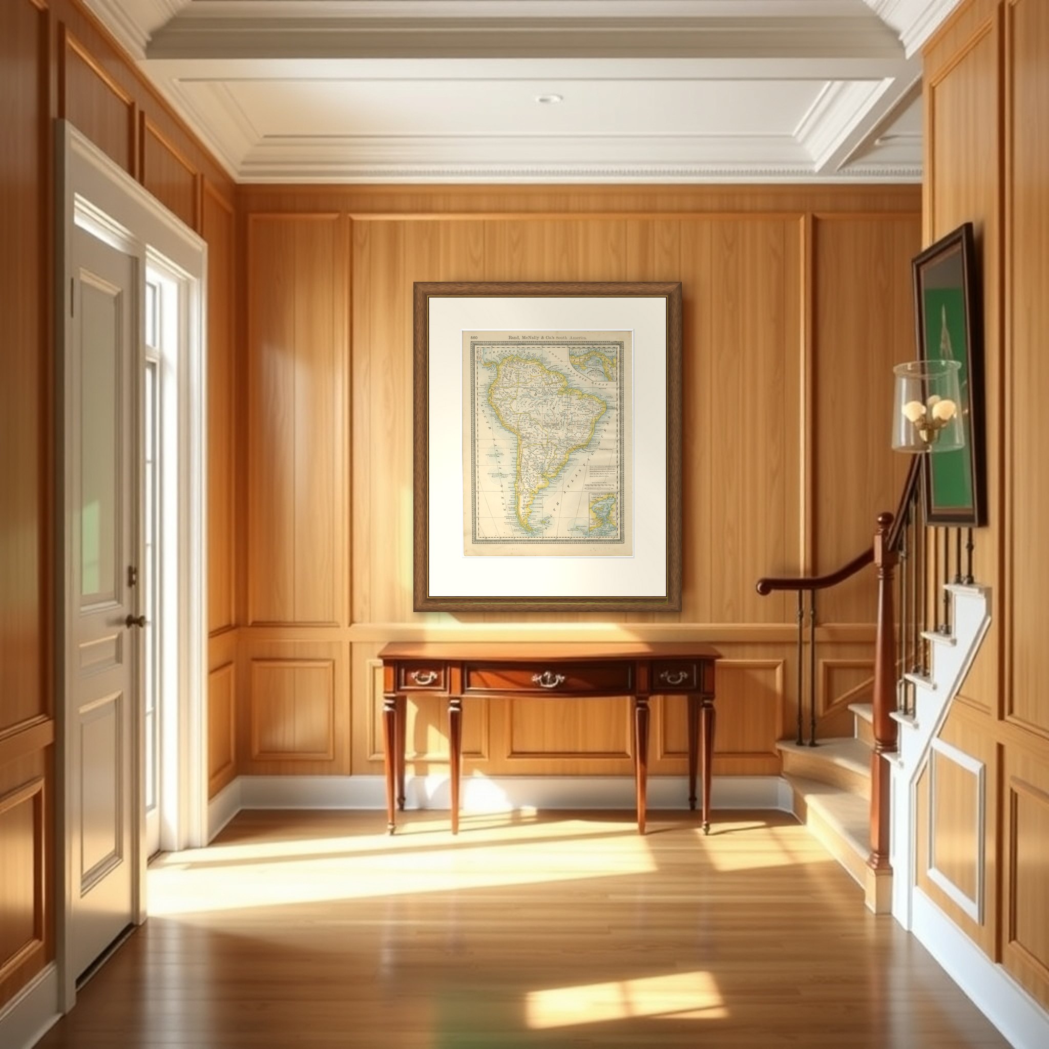
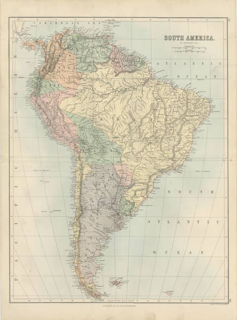
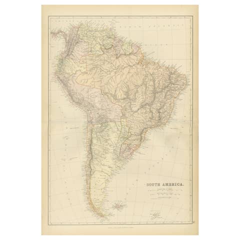
South America in a color-printed atlas map by Rand, McNally & Co., 1888, titled "Rand, McNally & Co.'s South America" in the heading above the border and carrying the atlas page number 560 in the upper left corner.
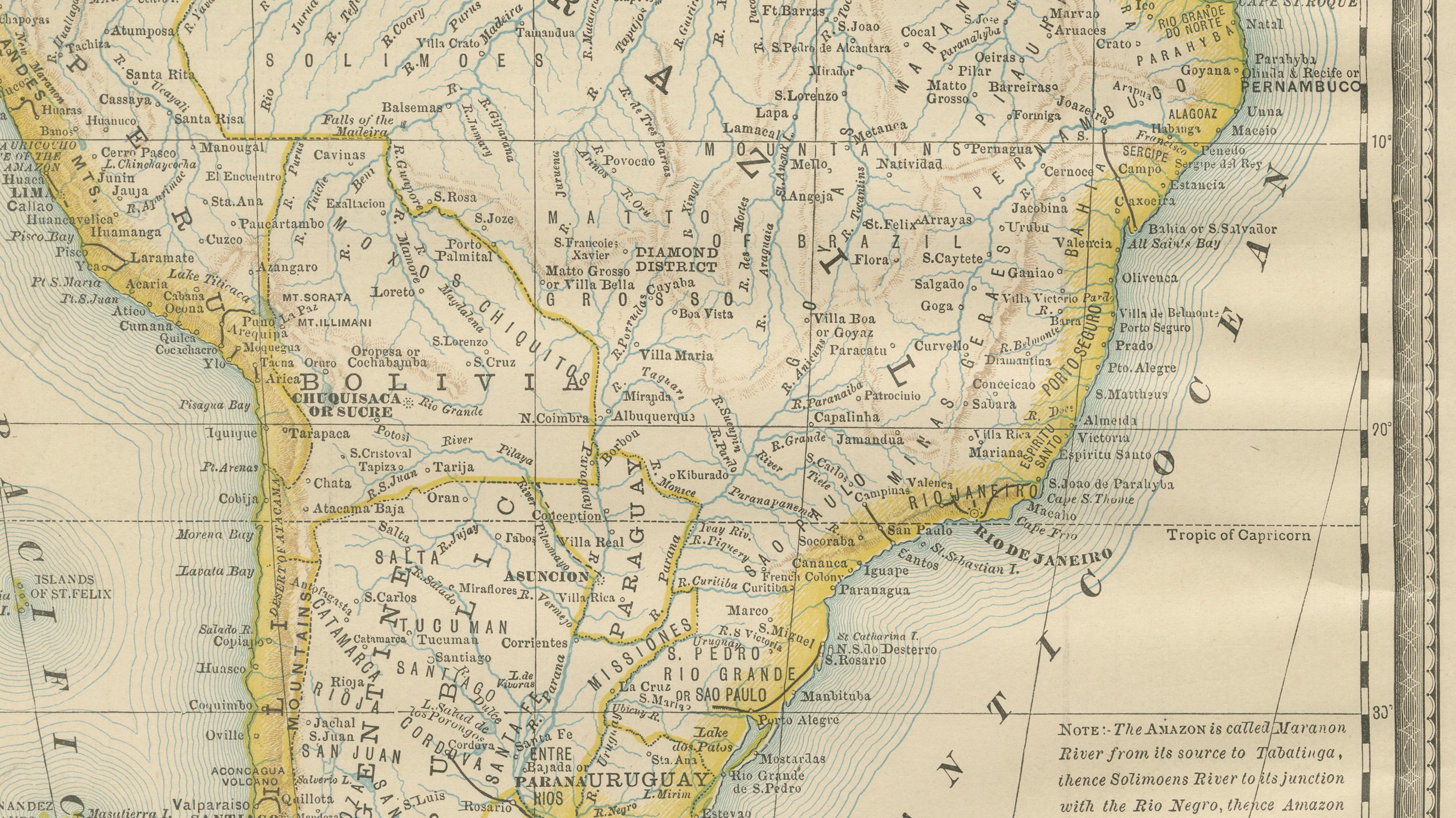
The sheet shows the whole continent from the Caribbean coast to Tierra del Fuego, with the countries outlined in color, the Andes along the Pacific side, and the Amazon and its tributaries drawn across the interior. Brazil, Bolivia, Peru, Ecuador, Venezuela, Argentina, Paraguay and Uruguay are all named, and offshore island groups are lettered in the Pacific and Atlantic. A framed note at the lower right gives the Amazon's different names along its course. Two insets fill the right-hand corners: the Isthmus of Panama at the top, and the Harbor of Rio de Janeiro at the bottom.
Rand McNally was a Chicago firm that built its reputation on inexpensive, regularly revised atlases, and a sheet of this kind records the continent as American readers of the late 1880s were shown it, with the Panama isthmus given its own inset well before the canal was begun.