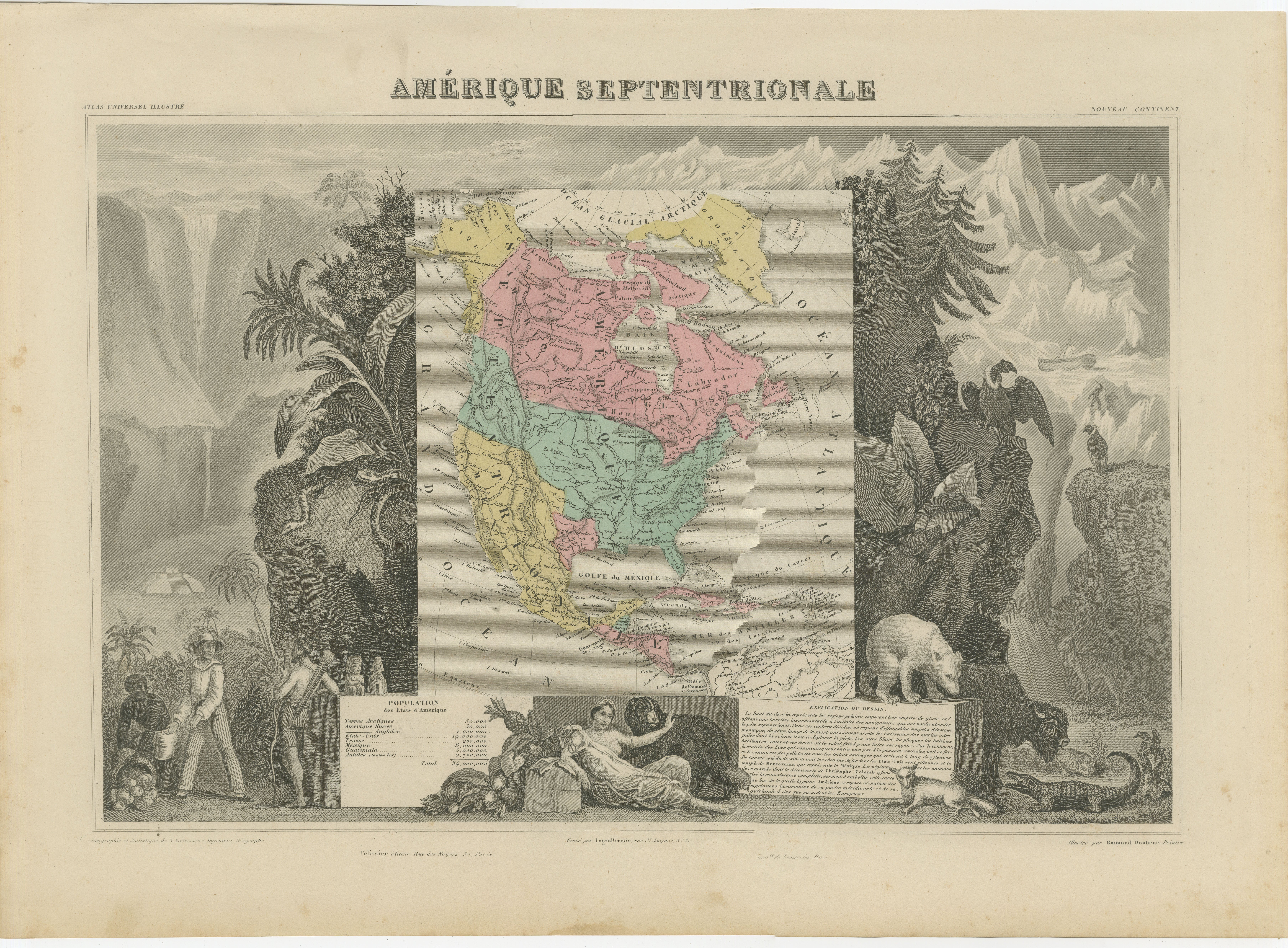
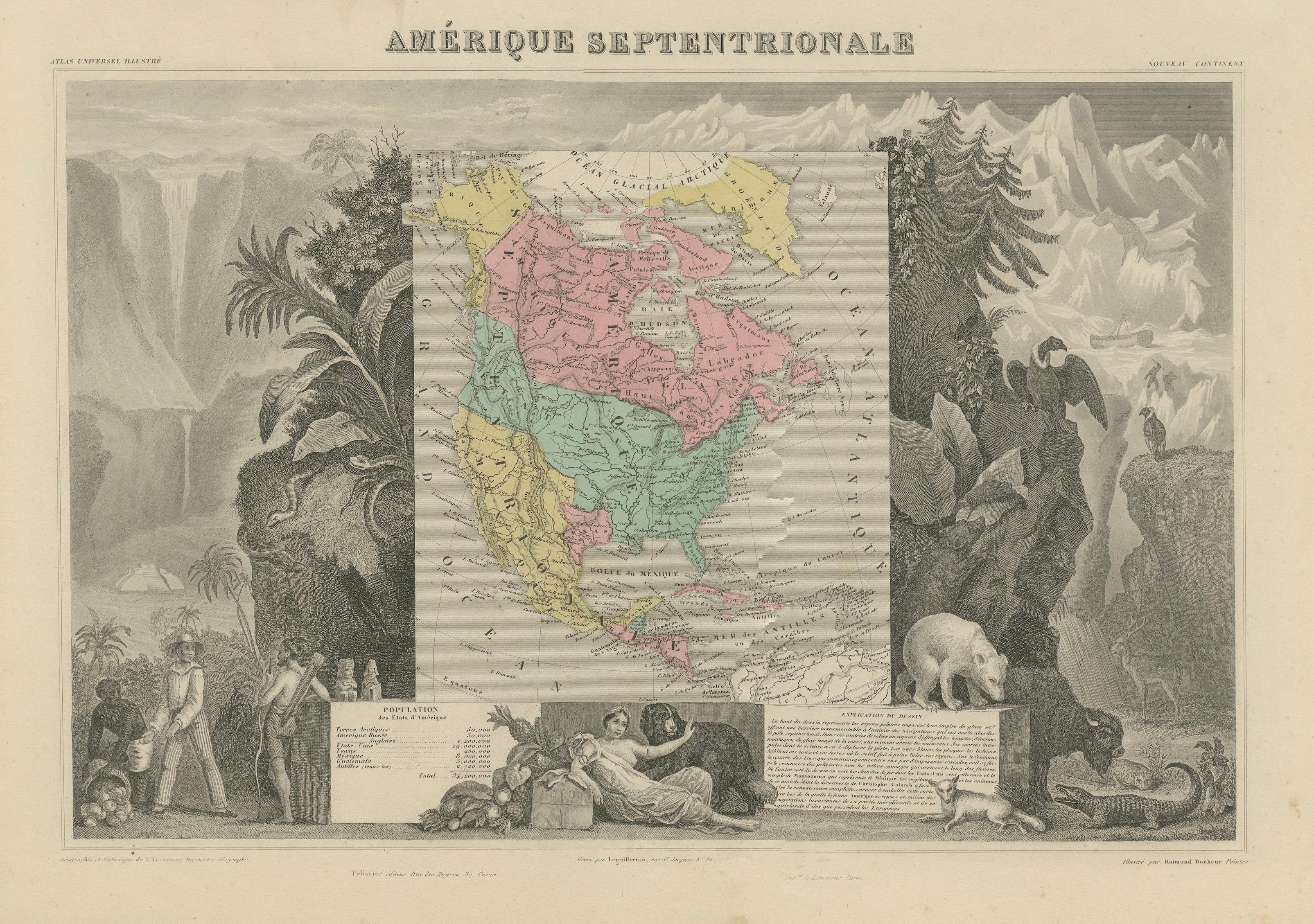
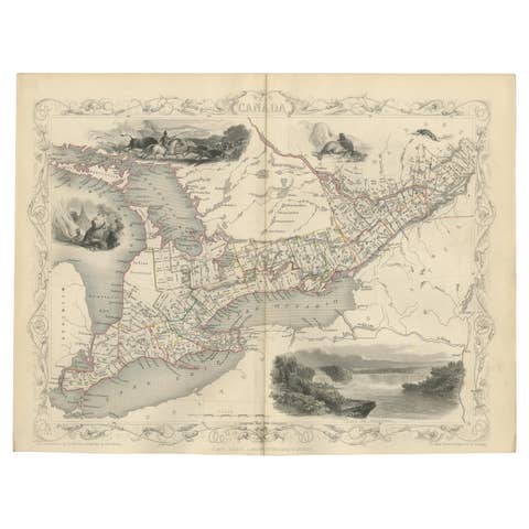
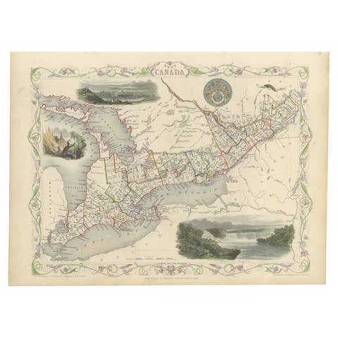
Antique Map North America, Texas Republic, Decorative Levasseur Atlas, c.1845
€ 1 250
One of a kind: this is the sheet in the photographs. Ships from Langweer, the Netherlands.
Date
1845
Sheet size
36.7 × 51 cm (14.4 × 20.1 in)
Condition
Good
Reference
BG-14277-6
Condition
Good antique condition with age toning and light foxing. Margins generally well preserved. The engraving is crisp, and the original hand coloring remains bright and attractive.
About this sheet
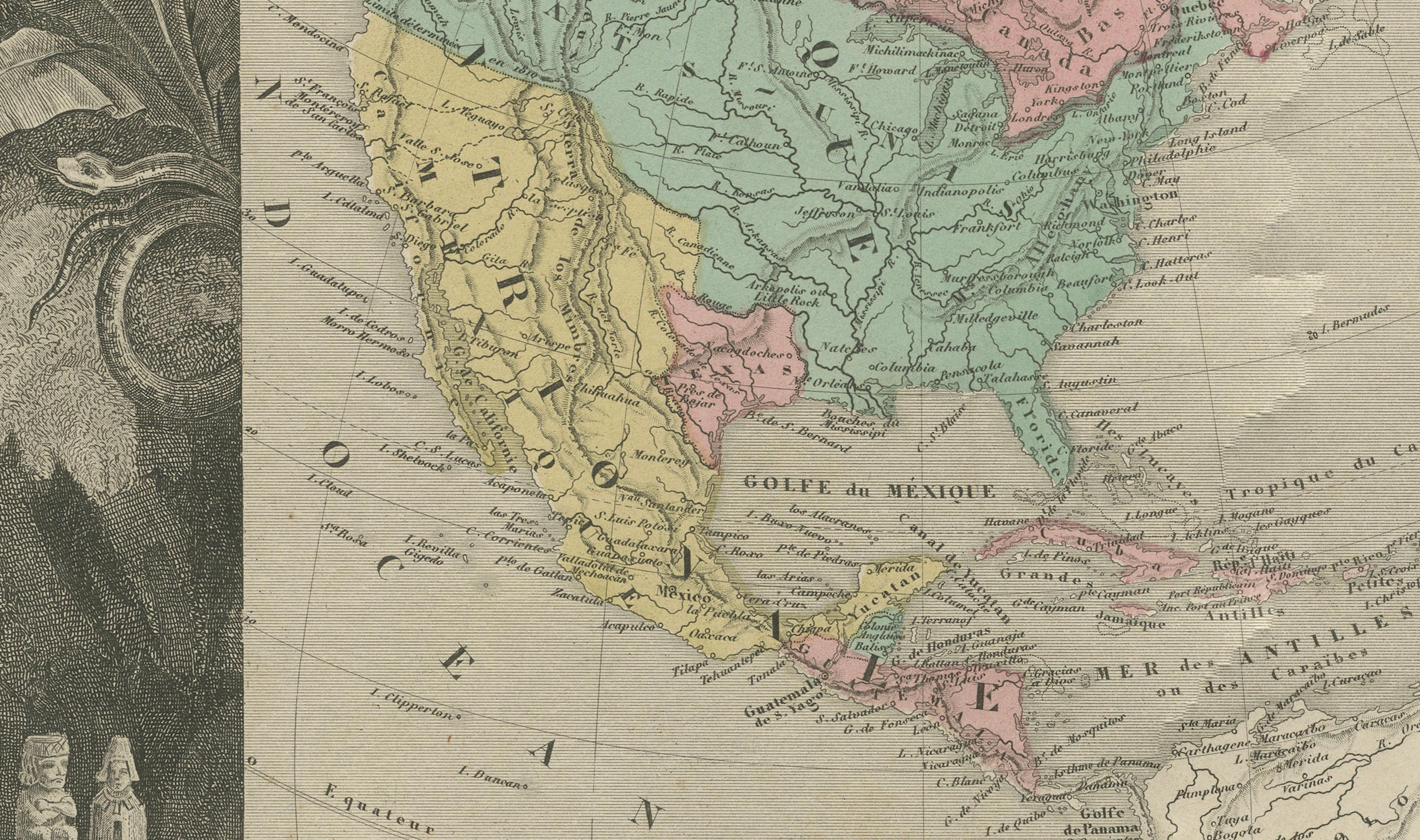
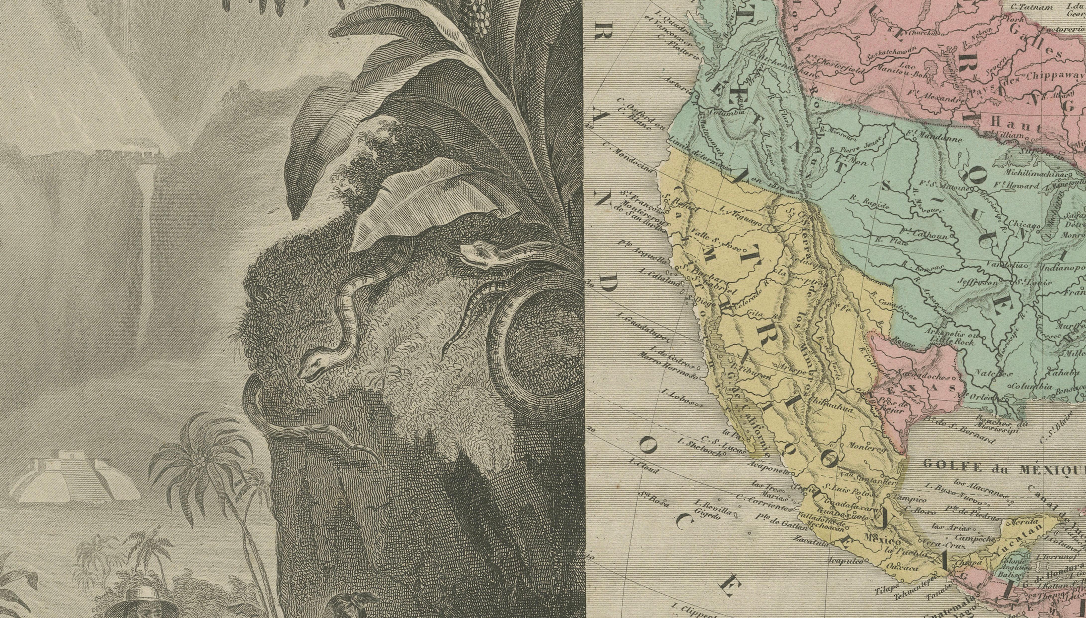
Antique Map North America, Levasseur, Texas Republic, c.1842–45
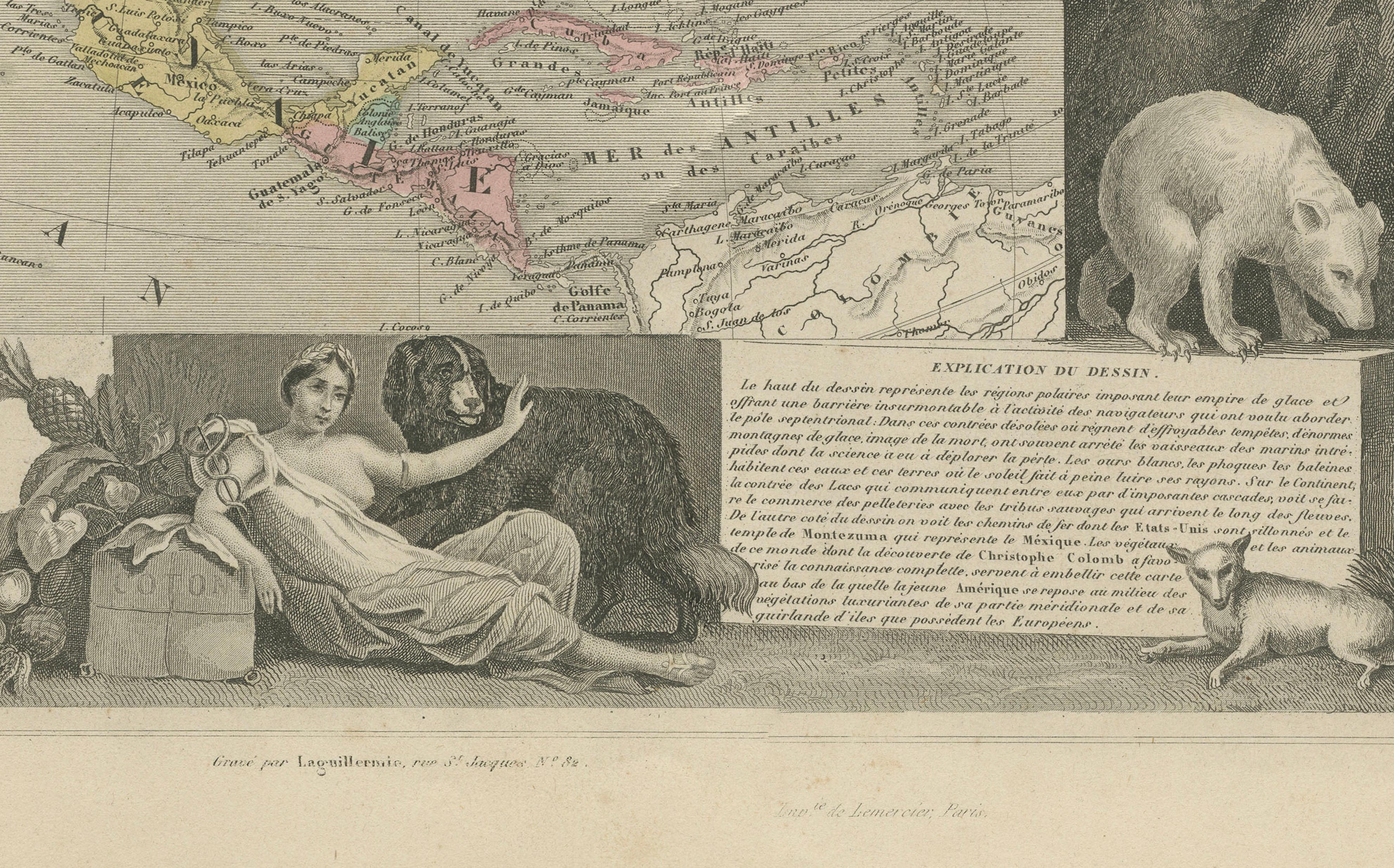
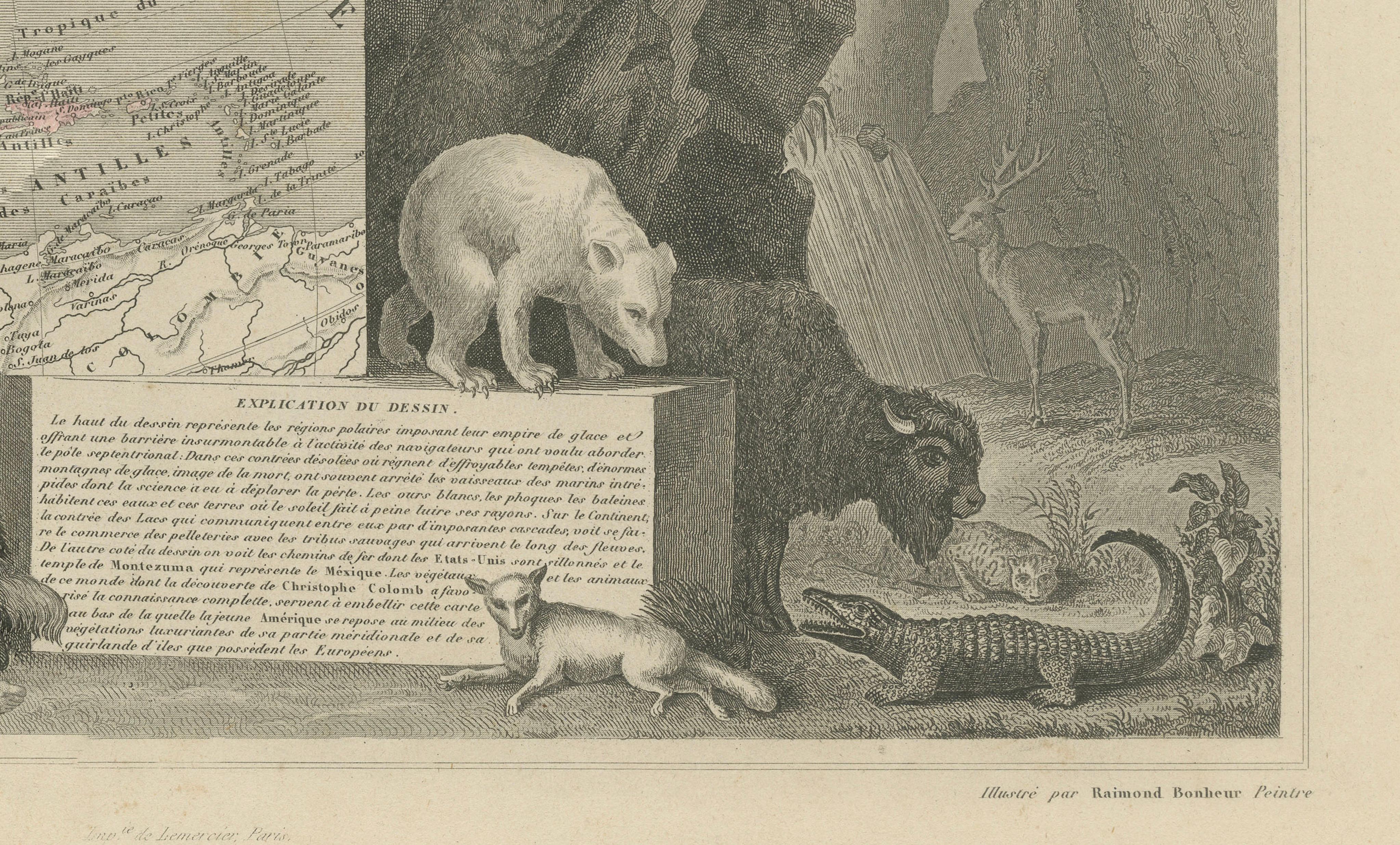
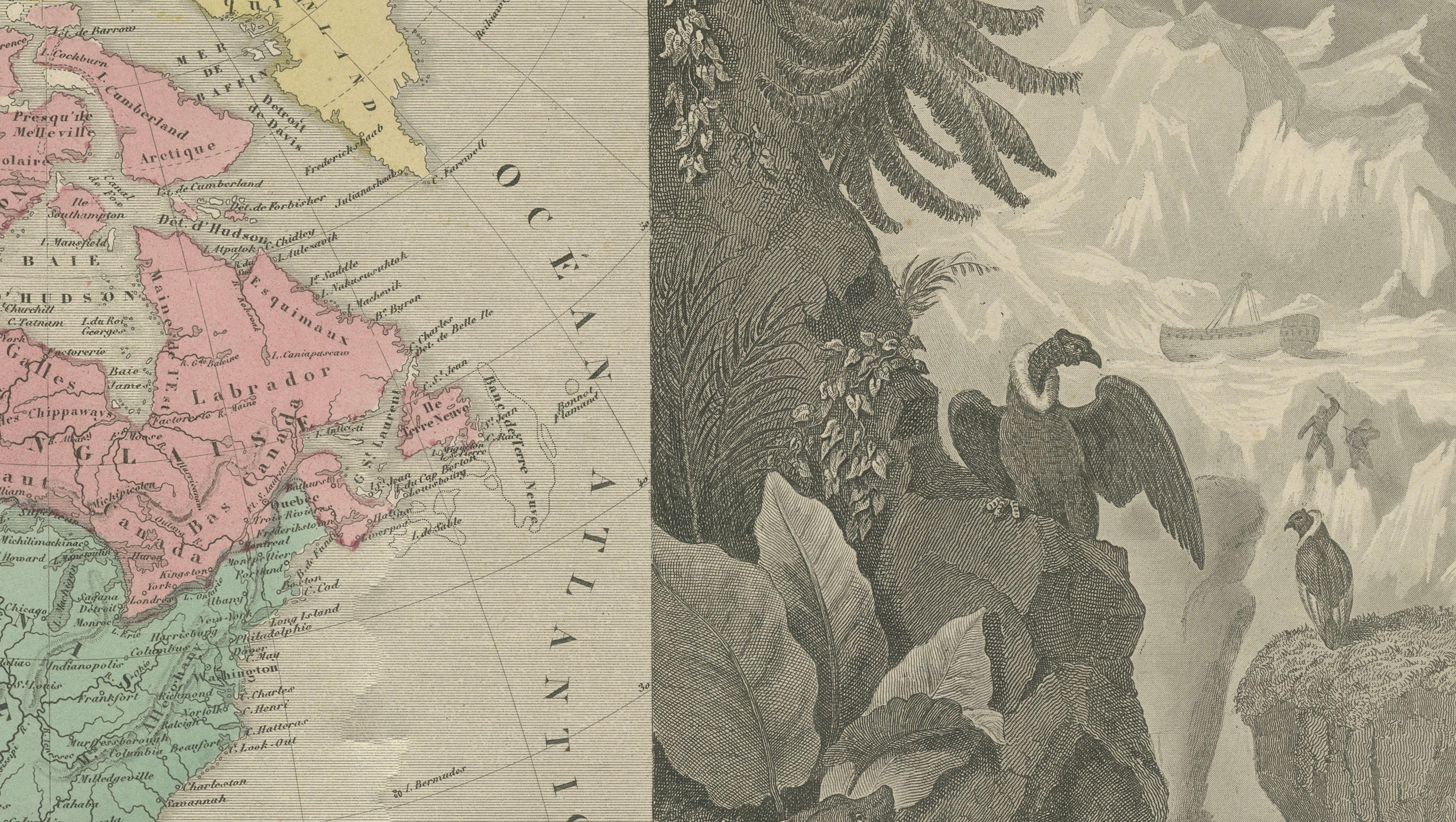
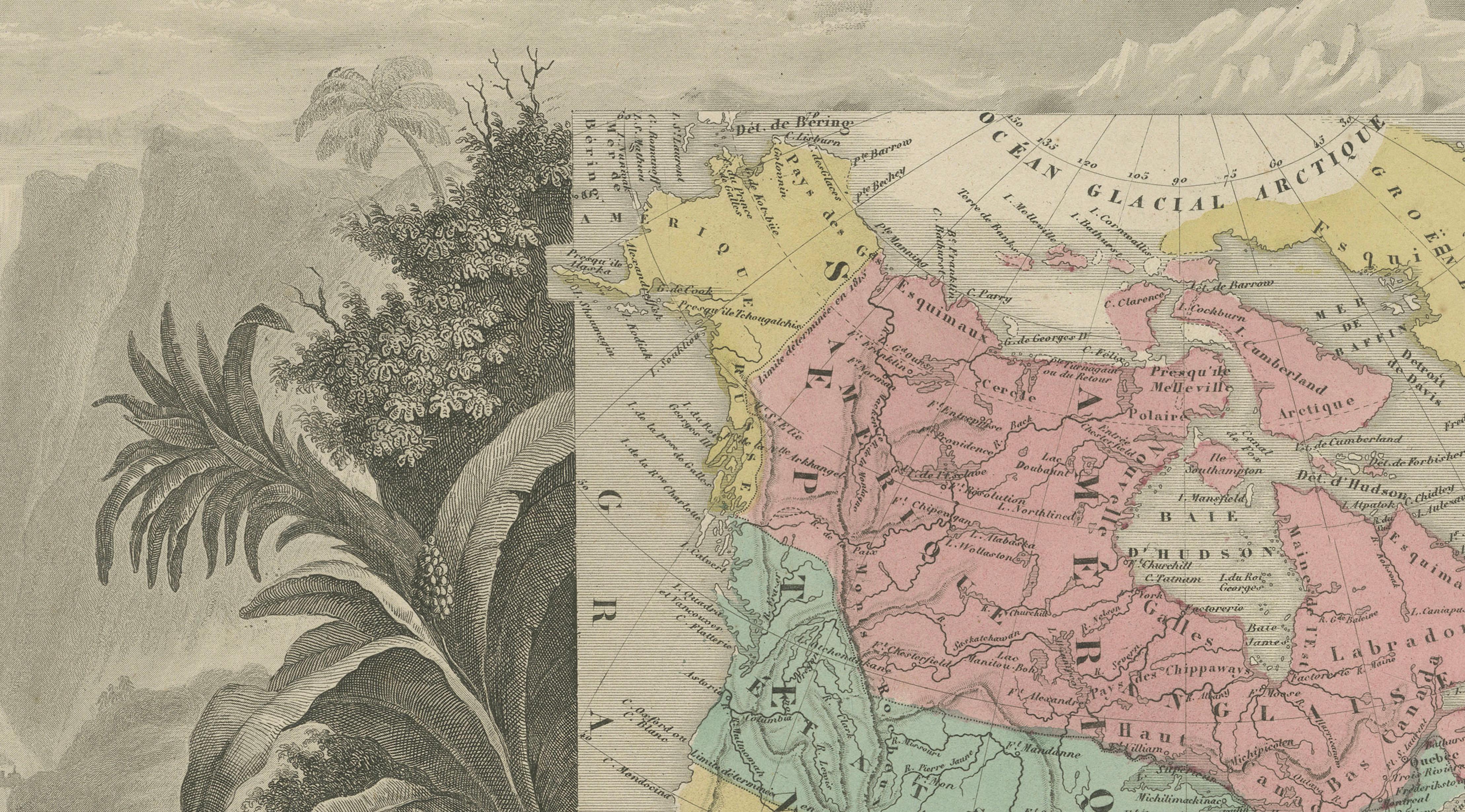
This highly decorative 19th-century map of North America, Amérique Septentrionale, was created by Victor Levasseur and published in Paris circa 1842–1845 as part of the Atlas Universel Illustré.
The map presents the continent during a dynamic historical moment, notably depicting Texas as an independent republic (1836–1845), alongside early territorial configurations such as Russian America (Alaska) and the expansive Oregon Territory. These details make it a compelling snapshot of pre-modern North American geography.
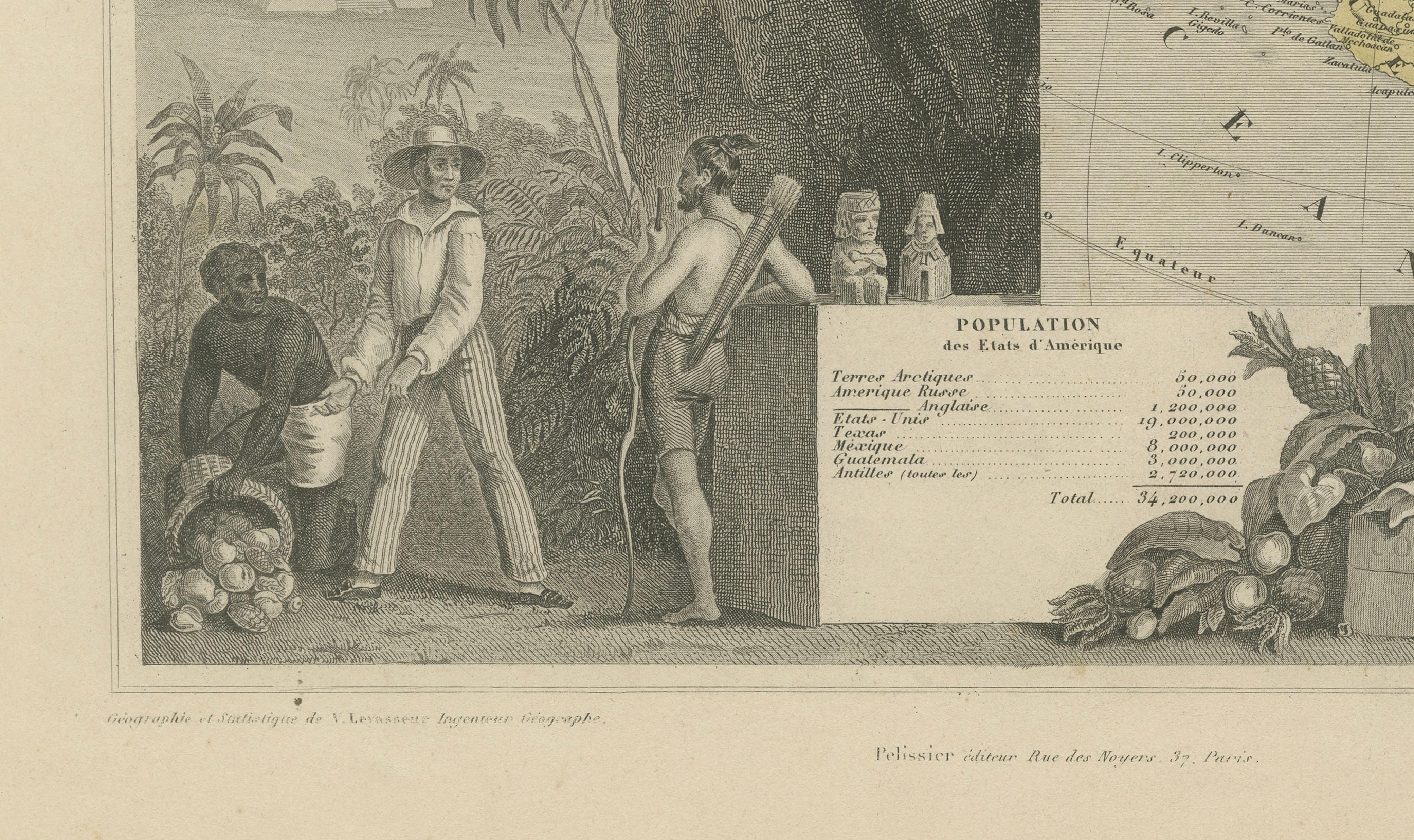
Levasseur maps are renowned for their elaborate engraved borders, and this example is particularly striking. Designed by Raymond Bonheur and engraved by Auguste Laguillermie, the composition is framed by dramatic scenes of waterfalls, mountains, indigenous figures, and wildlife including a polar bear, eagle, and alligator. The lower section features allegorical figures and statistical panels, blending scientific knowledge with artistic presentation.
Both historically informative and visually impressive, this map is among the most sought-after decorative works of 19th-century cartography and is especially appealing for interior display.
Note: Interior mockups shown are for visual inspiration only and do not represent the exact scale. We do not sell reproductions, only original works of art over 100 years old.
Condition: Good antique condition with age toning and light foxing. Strong impression with attractive original hand coloring.
Framing tips: Pairs beautifully with a wide ivory mount and either a classic gilt or dark wood frame to emphasize the decorative border.
Technique: Steel engraving with original hand coloring Maker: Victor Levasseur, Paris, circa 1842–1845
Keywords: antique map north america levasseur map republic of texas map texas independent map 19th century decorative antique map atlas universel illustré hand colored map north america 1840 map historical map usa russian america alaska map oregon territory map french cartography 19th century wall decoration antique map collectible map levasseur