About this sheet
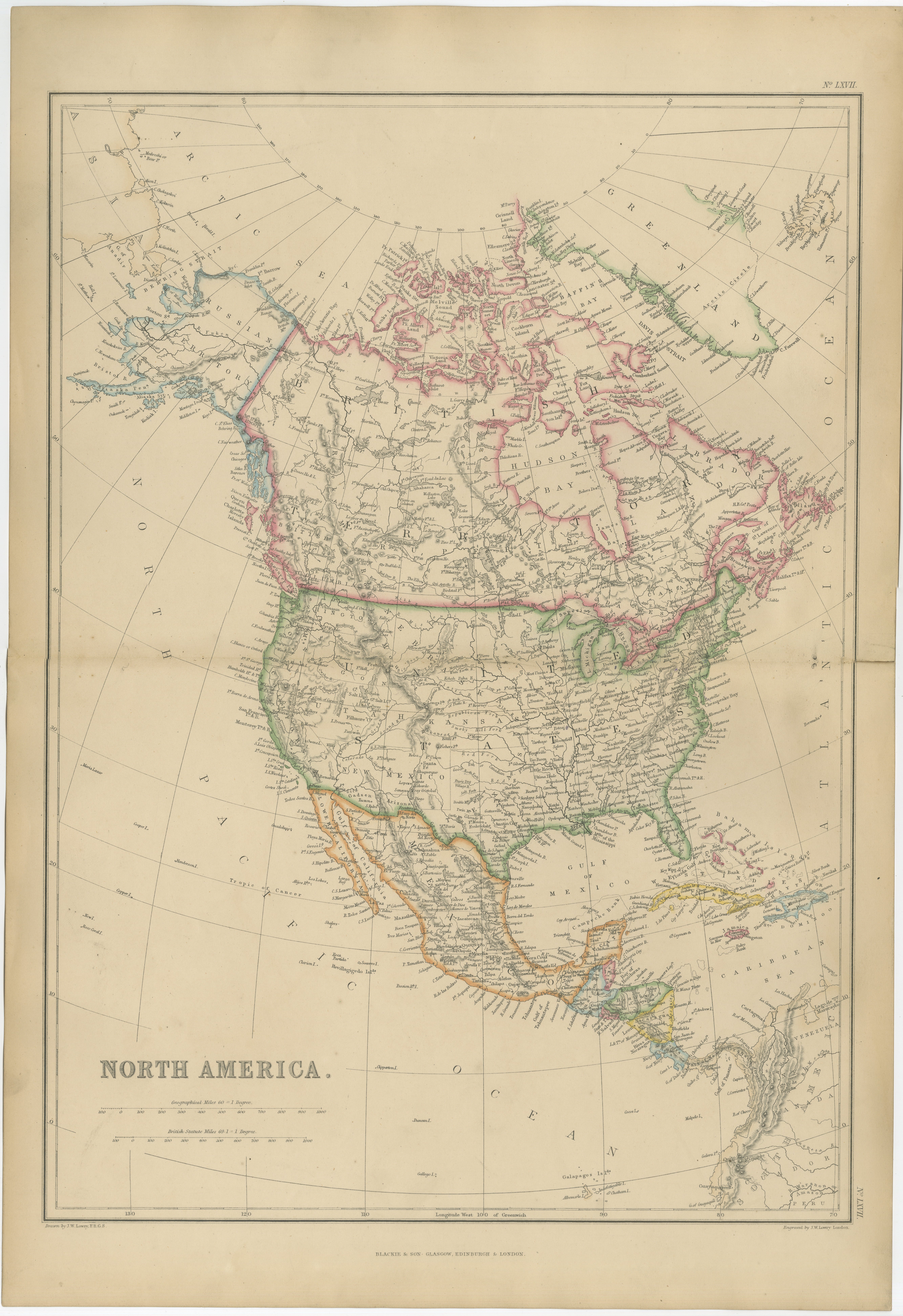
Antique Map of North America, Canada, United States and Mexico, 1860
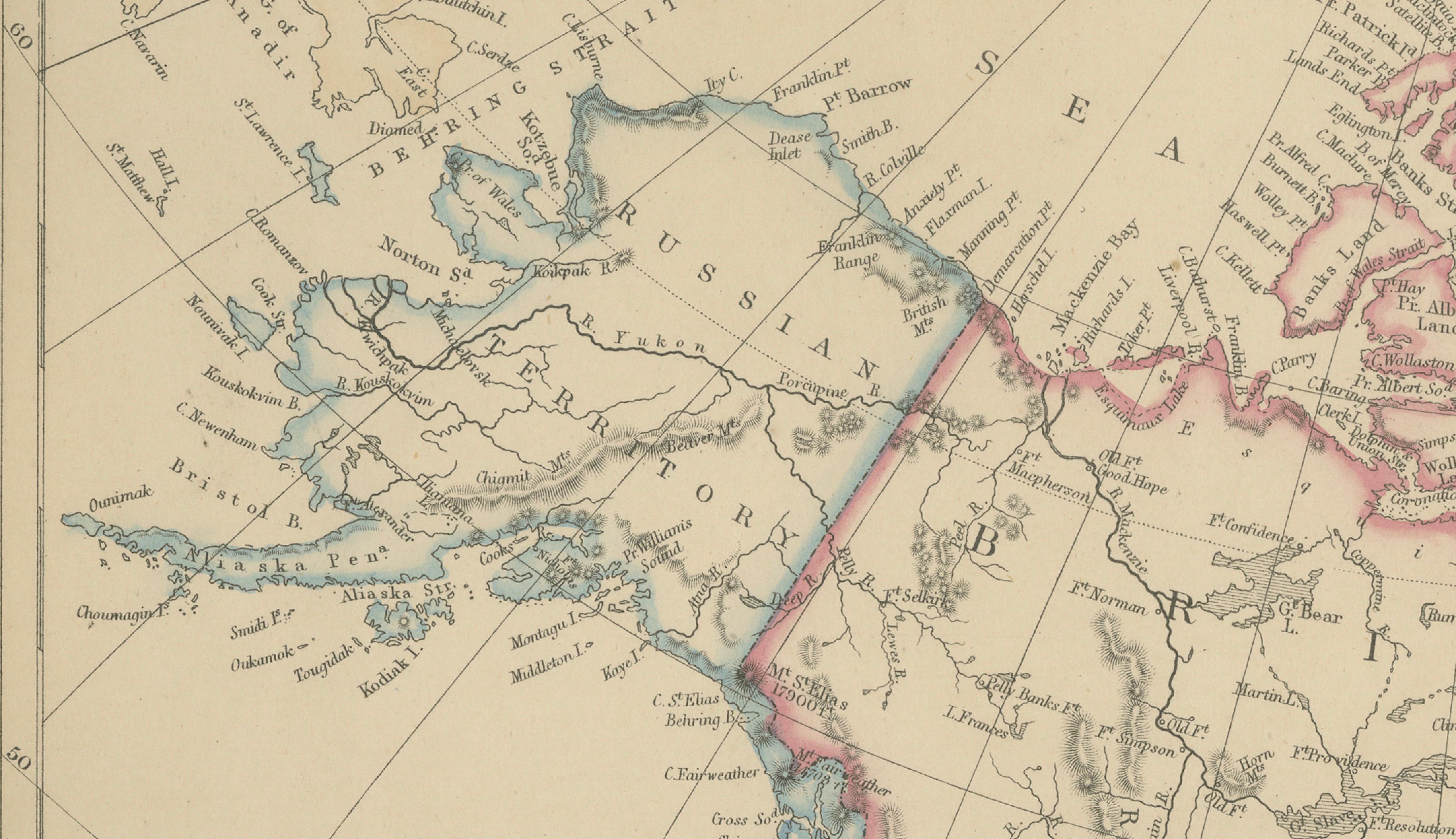
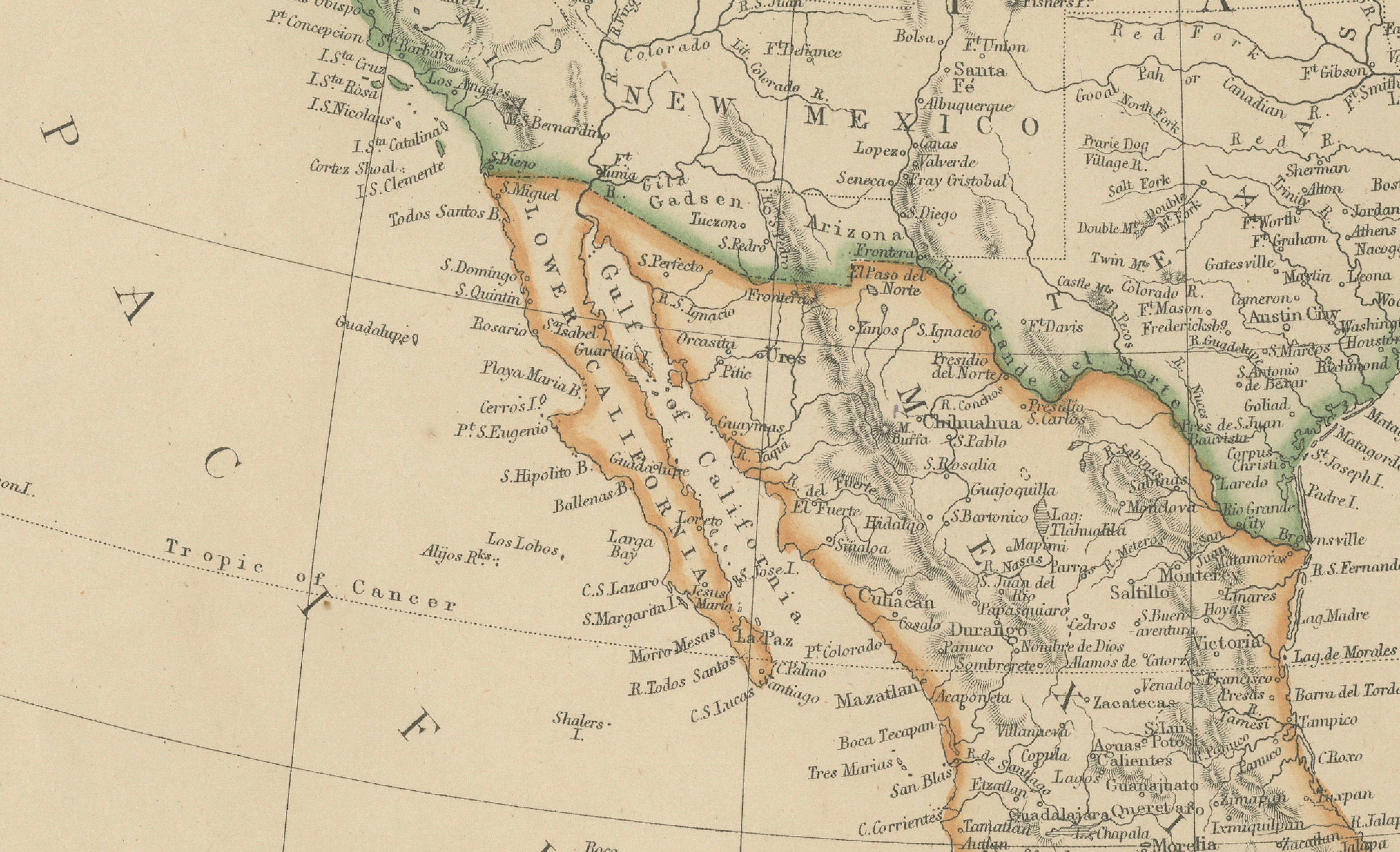
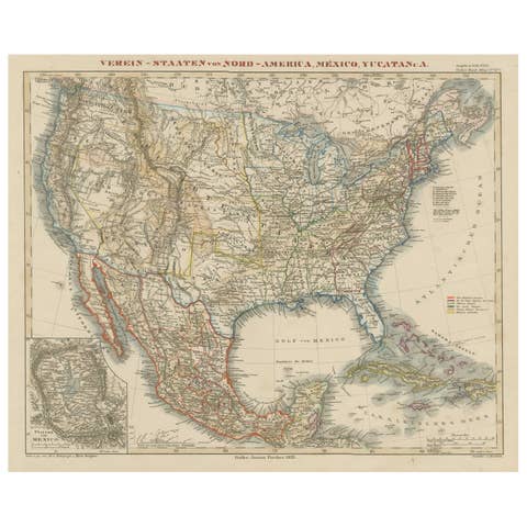
This impressive nineteenth-century map of North America was published by W. G. Blackie of Scotland around 1860 and presents a comprehensive view of the continent during one of the most dynamic periods in its history. Extending from the Arctic regions of British North America to Central America and the Caribbean, the map captures the political geography of North America on the eve of major transformations including the American Civil War, Canadian Confederation, and the continued expansion of settlement across the western frontier.
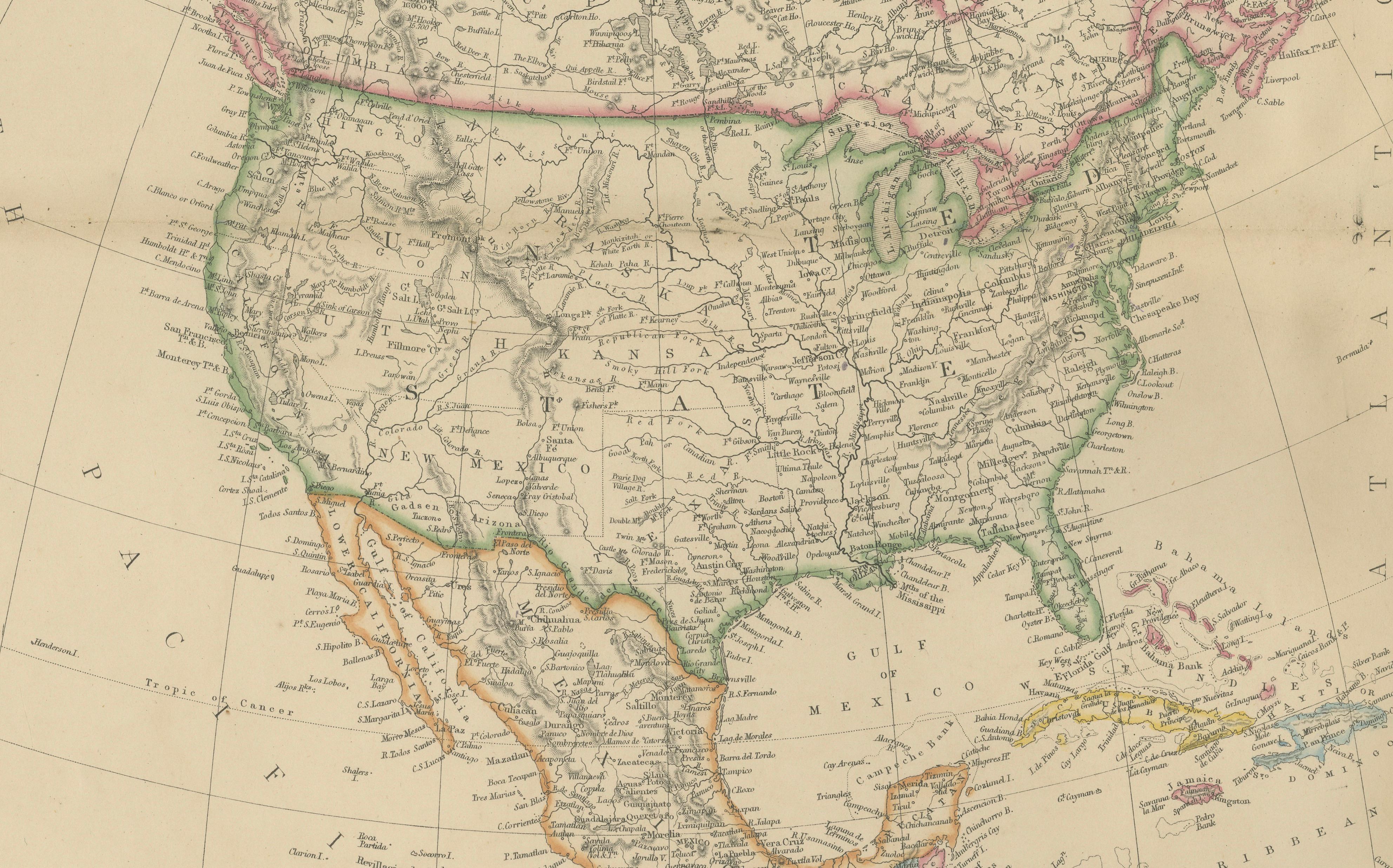
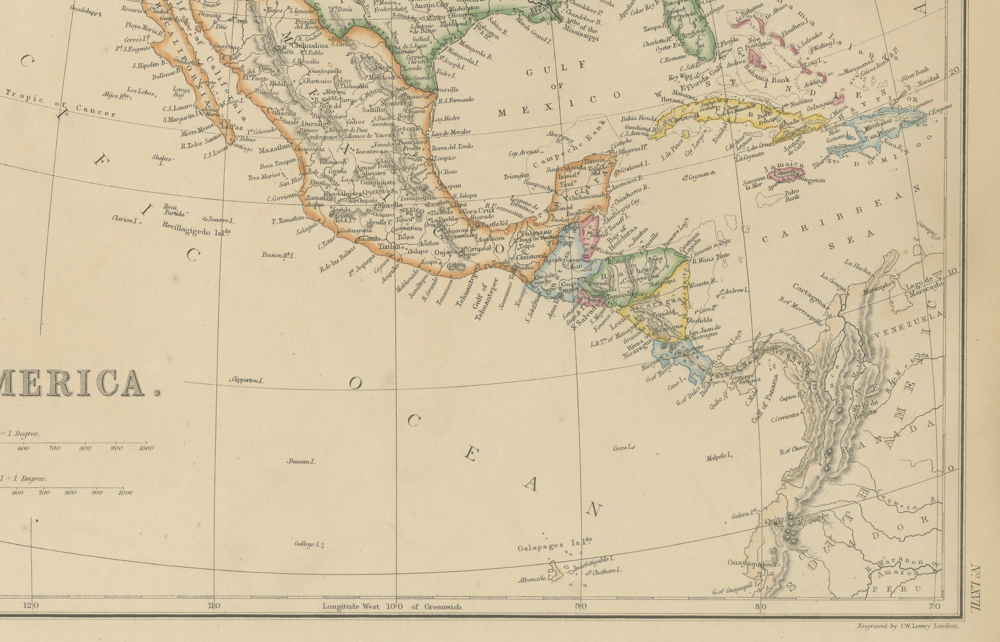
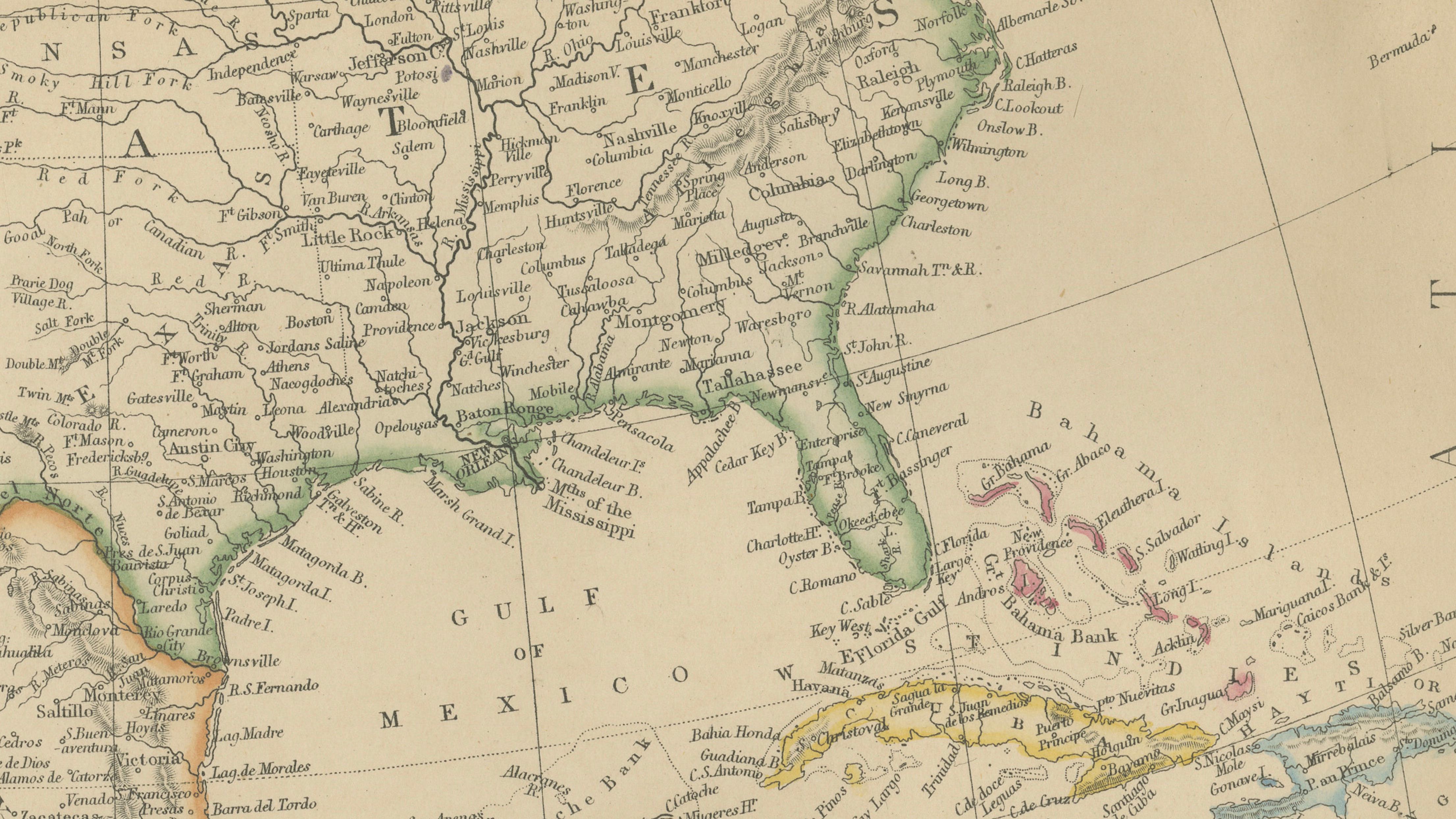
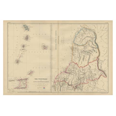
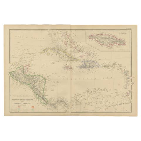
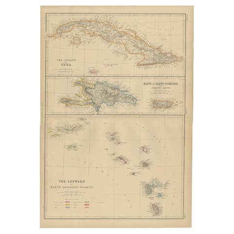
The map encompasses British North America, the United States, Mexico, Greenland, Central America, Cuba, the Bahamas, and portions of the Caribbean. Original hand coloring distinguishes national and colonial boundaries, while a dense network of rivers, mountain ranges, territories, settlements, and transportation routes illustrates the rapidly changing geography of the continent.
Particularly noteworthy is the depiction of British North America before Confederation, including the vast territories surrounding Hudson Bay and the Arctic Archipelago. The western territories of the United States are shown during a period of frontier expansion, while the recently acquired lands of the American West reveal a landscape still being explored and settled. Mexico is represented shortly after the territorial changes resulting from the Mexican-American War, offering an important historical snapshot of North America's evolving borders.
The map also highlights major geographic features including the Rocky Mountains, Great Plains, Mississippi River system, Great Lakes, Hudson Bay, Gulf of Mexico, and Arctic coastline. Numerous cities, ports, rivers, and transportation corridors reflect the growing economic importance of trade, migration, and industrial development throughout the continent.
Produced using fine copper engraving and enhanced with original hand coloring, the map demonstrates the high standards associated with Blackie's Victorian atlas publications. The balance of geographical accuracy, historical significance, and decorative appeal makes this map both an important cartographic document and a striking display piece.
Today, original nineteenth-century maps of North America are highly sought after by collectors of American history, Canadian history, exploration, migration studies, genealogy, and antique cartography. This example offers a fascinating view of the continent at a pivotal moment in its development and would make an outstanding addition to a collection, study, office, or library.
Condition report: Good antique condition with age-related toning and occasional light spotting consistent with age. Original hand coloring remains attractive and well preserved. Please examine the images carefully for exact condition. A faint central fold is present.
Framing tips: This map displays beautifully in a dark walnut, ebonized, or museum-black frame with a wide warm ivory mat. A thin gilt liner can further enhance the original hand coloring and create a refined museum-quality presentation.
Technique: Copper engraving with original hand coloring
Maker: W. G. Blackie, Scotland, 1860
This is an original 19th-century copperplate engraving, printed at the time. It is not a modern reproduction. Any images showing the print framed are for presentation purposes only. The map is supplied unframed.
Keywords: North America, United States, Canada, British North America, Mexico, Greenland, Hudson Bay, Arctic Ocean, Baffin Bay, Labrador, Newfoundland, Nova Scotia, New Brunswick, Quebec, Ontario, Montreal, Quebec City, Toronto, Ottawa, Great Lakes, Lake Superior, Lake Michigan, Lake Huron, Lake Erie, Lake Ontario, Mississippi River, Missouri River, Ohio River, Rocky Mountains, Sierra Nevada, Great Plains, Texas, California, Oregon, Washington Territory, Utah Territory, New Mexico Territory, Kansas, Nebraska, Minnesota, Wisconsin, Illinois, New York, Pennsylvania, Virginia, Florida, Louisiana, Mexico City, Yucatan, Baja California, Sonora, Chihuahua, Veracruz, Gulf of Mexico, Cuba, Bahamas, Jamaica, Caribbean Sea, Central America, Panama, Hudson's Bay Company, Rupert's Land, Arctic Exploration, Frontier America, American West, Pre-Confederation Canada, Victorian Cartography, Colonial North America, Migration History, Transportation History, Antique Map, Hand-Colored Map, Copperplate Engraving, Blackie Atlas, Scottish Cartography.