Antique Maps
5,418 original sheets
Europe 3023Asia 1110Africa 236America 548Australia & Oceania 159World Maps 111Sea Charts 209Celestial Maps 22

Old Antique Colorful Decorative Map of Northern Italy, 1846
1846 · € 220

Old Original Engraving of Prussia on the Southeast Coast of the Baltic Sea, 1632
1632 · € 450

Antique Map of Russia in Europe and Poland from an d Old Dutch Atlas, 1852
1852 · € 120
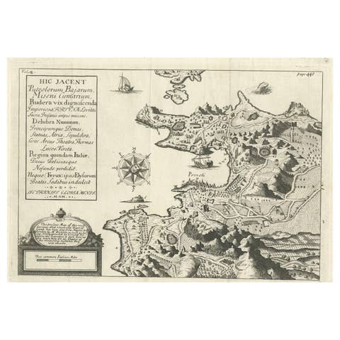
Old Original Map of Pozzuoli Near Naples in the Campania Region, Italy, ca.1740
1740 · € 350
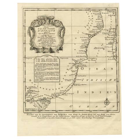
Original Detailed Antique Map of the East Coast of Africa, 1747
1747 · € 190
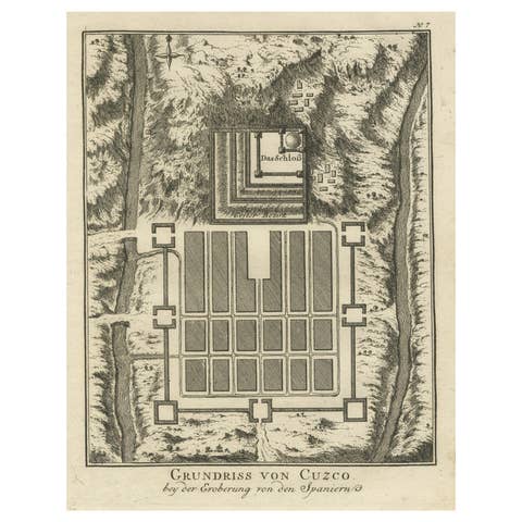
Old Print of the Spanish Conquest of Cusco or Cuzco, Capital of the Incas, c1750
€ 290

Rare Map of the Philippines; Joseph Freewills Island & Mindanao South End, 1773
1773 · € 240
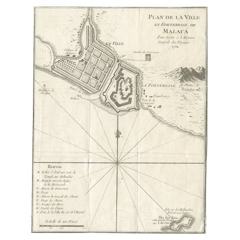
Detailed Original Antique Plan of the City and Fort of Malacca, Malaysia, 1764
1764 · € 190
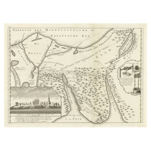
Old Map of the Sinai Peninsula Showing the Mediterranean and the Red Sea, 1773
1773 · € 450
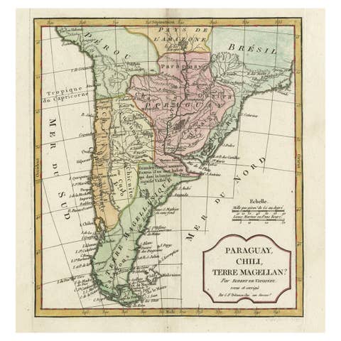
Decorative Antique Map of the Southern Part of South America, 1806
1806 · € 550
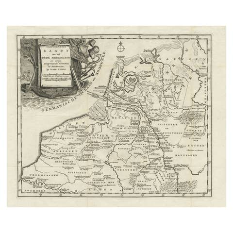
Original Antique Map of the Ancient Netherlands and Belgium, c.1750
1750 · € 350
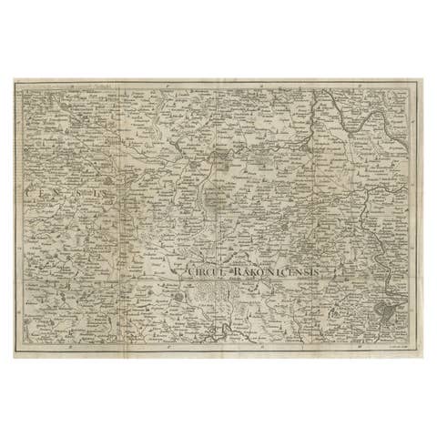
Rare Detailed Antique Map of Prague and Its North West Environs, ca.1760
1760 · € 450
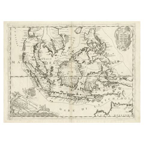
Original Antique Map of the Philippines, Malaysia, Indonesia, Singapore, c.1690
1690 · € 2 250
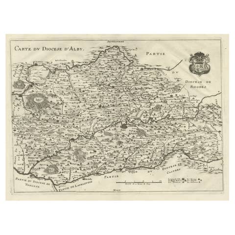
Original Old Copper Engraved Map of the Region of Albi, Southern France, 1663
1663 · € 550
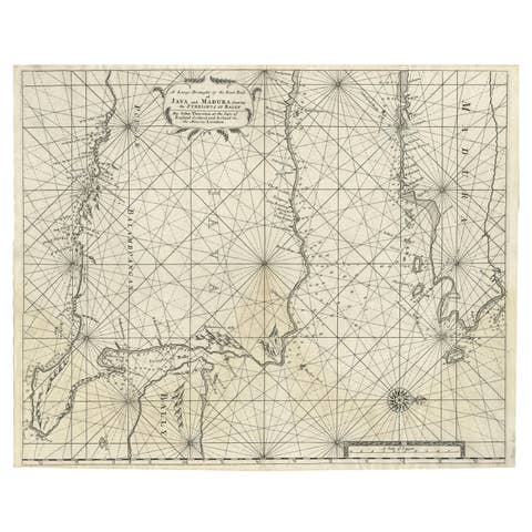
Rare Old English Sea Chart of Part of Indonesia with Java, Madura and Bali, 1711
1711 · € 1 650
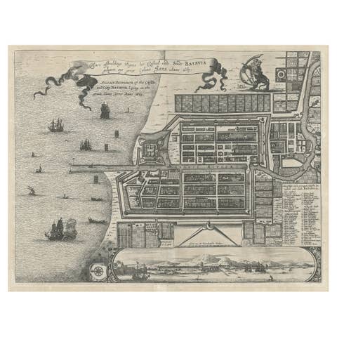
Antique Plan of the Castle & City of Batavia 'Jakarta' on Java, Indonesia, c1669
€ 1 250
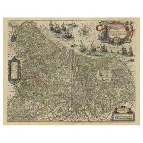
Handsome Old Detailed Map of the Low Countries by Famous Mapmaker Blaeu, ca.1635
1635 · € 2 950
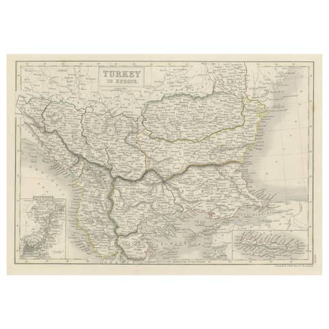
Antique Plan of Turkey in Europe with Inset Map of the Bosporus, ca.1850
1850 · € 220
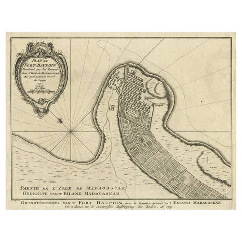
Antique Plan of Fort Dauphin on Madagascar of the East Coast of Africa, 1756
1756 · € 240
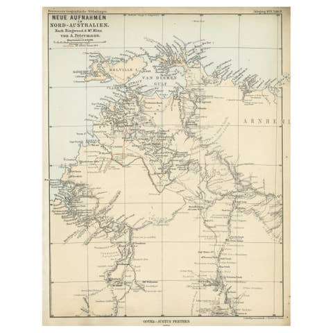
Northern Australia Map with The Routes of Explorers Ringwood and McMinn, 1878
1878 · € 130
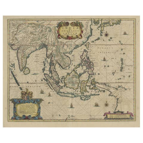
Original Antique Hand-Colored Map of The East Indies and Southeast Asia, c.1644
1644 · € 2 500
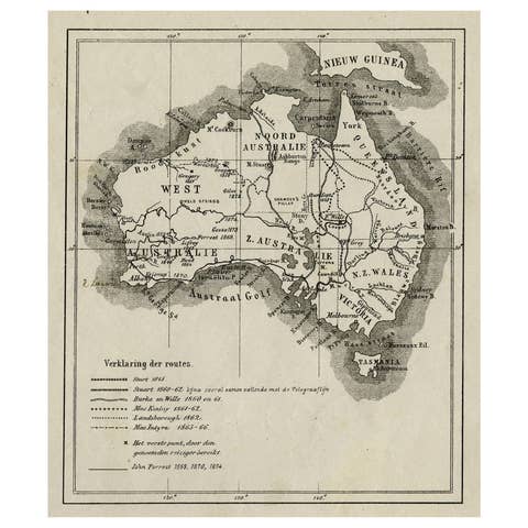
Old Map of Australia Showing The Routes of the Main Explorers, ca.1900
1900 · € 120
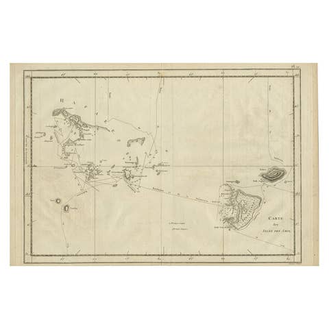
Antique Engraved Map of the Friendly Islands or Tonga, ca.1785
1785 · € 320
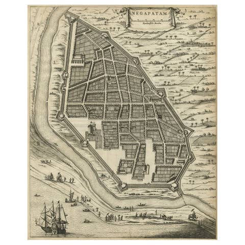
Antique Engraving of a Bird's-Eye Plan of Nagapattinam or Negapatam, India, 1672
1672 · € 340
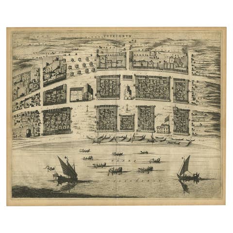
Antique Bird's-Eye Plan of Tutecoryn (Tuticorin or Thoothukudi), India, 1672
1672 · € 360
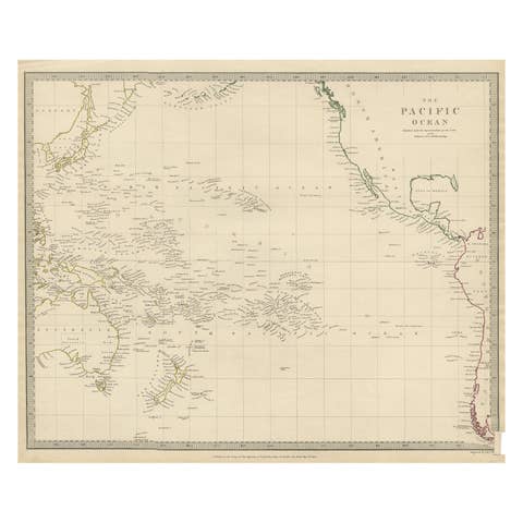
Antique Map of Australasia, New Zealand, Polynesia & the Pacific Ocean, 1840
1840 · € 220
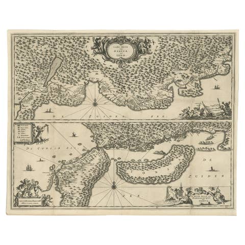
Map of Japanese Coast from Osaka to Tokyo & the Kyushu and Shikoku Islands, 1669
1669 · € 1 450
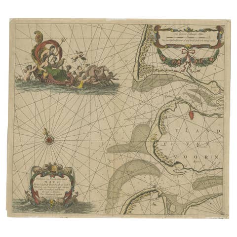
Original Antique Sea Chart of the Maas 'or Meuse' River with Neptunes, 1684
1684 · € 680
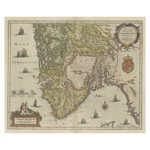
Old Map of The Southern Part of Norway, Covering the Region Around Bergen, c1650
€ 820
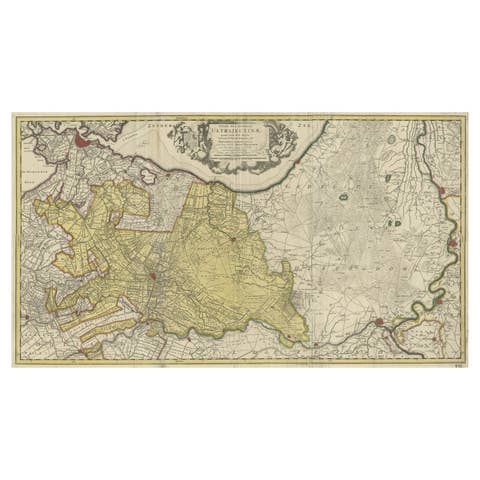
Original Antique Map of the Province of Utrecht, the Netherlands, ca.1720
1720 · € 790
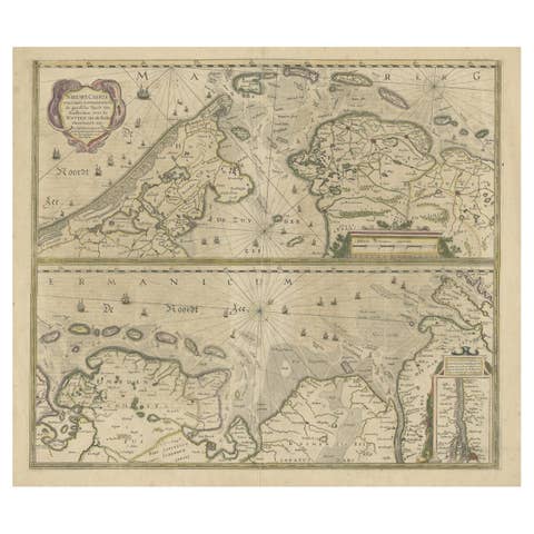
Two Original Antique Engravings with the Dutch and German North Sea Coast, c1650
€ 590

Old Decorative & Highly Detailed Sea Chart of the North Dutch-German Coast, 1681
1681 · € 1 650

Original Antique Map Southeast of the Banda or Spice Islands, Indonesia, 1726
1726 · € 770

Map of Queen Charlotte's, Carteret's, Simson's and Gower's Islands, Canada, 1773
1773 · € 340
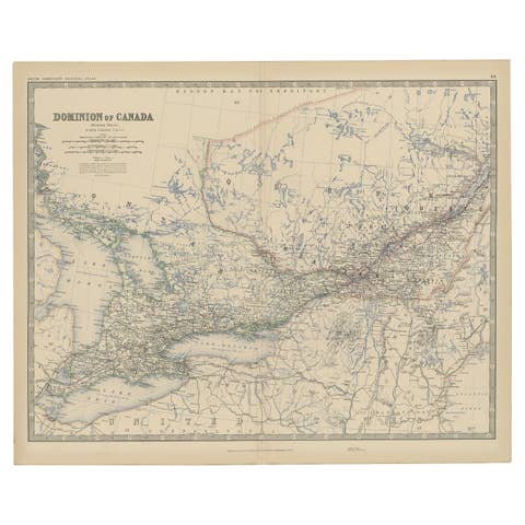
Old Original Antique Map of Western Canada, 1882
1882 · € 280
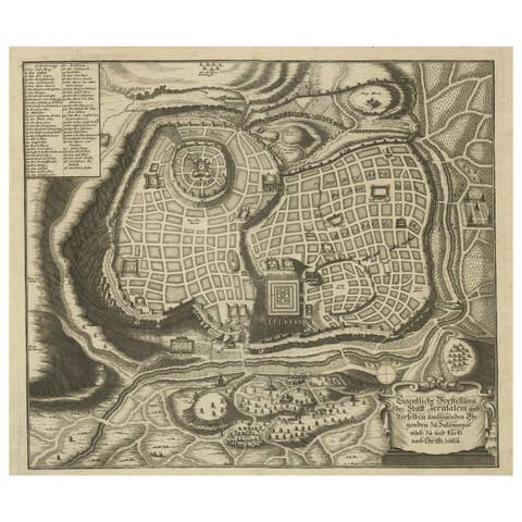
Rare Town Plan of Jerusalem, Includes an Extensive Key to Locations etc, 1708
1708 · € 1 150
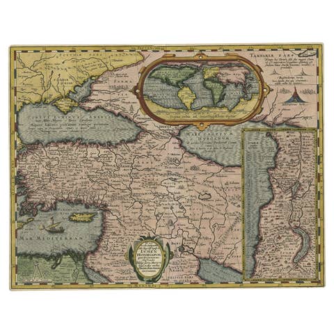
Scarce Antique Map of the Middle East, Surrounded by Latin Text, 1624
1624 · € 950
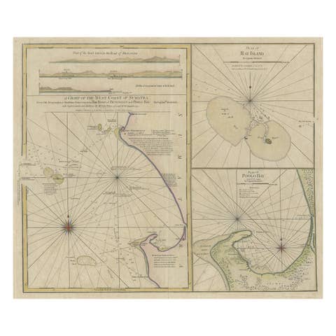
Early Chart Identifying British Spice Trading Colony of Bencoolen, Sumatra, 1797
1797 · € 1 250
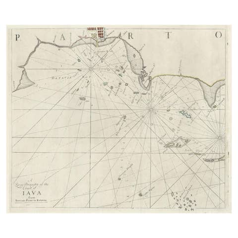
Two Antique Sea Charts of the Thousand Islands between Batavia and Bantam, c1734
€ 1 650
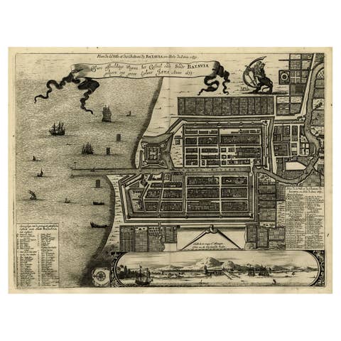
Antique Map of Batavia, Dutch East Indies, Nowadays Jakarta, Indonesia, ca.1669
1669 · € 1 350
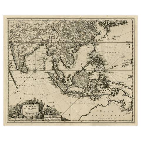
Antique Map of the Strait of Malacca, Malay Peninsula & Dutch Indies, c.1670
1670 · € 2 350

Map of Western Australia & Swan River, insets of Perth, Aboriginals, Sheep, 1851
1851 · € 320
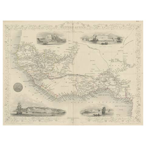
Antique Map of Western Africa with Vignettes of Cape Coast Castle etc, ca.1851
1851 · € 350
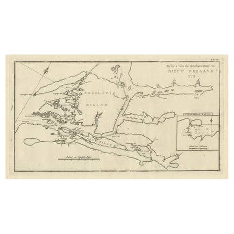
Antique Map of the Dusky Bay or Dusky Sound of New Zealand by Captain Cook, 1803
1803 · € 590
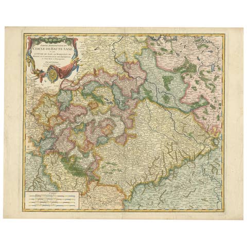
Nicely Colored Original Antique Map of Upper Saxony, Middle Germany, 1756
1756 · € 1 150
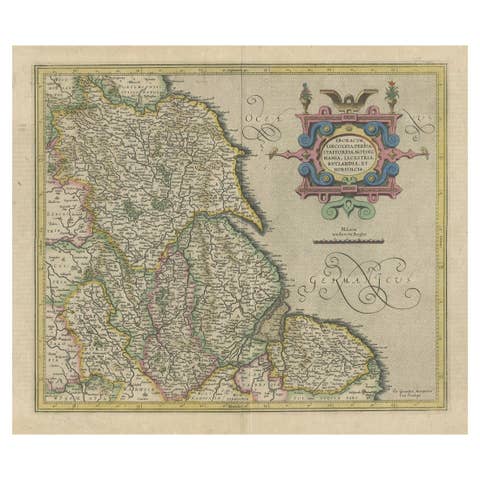
Decorative Early Hand-Colored Map of the Northeast of England, ca.1620
1620 · € 670
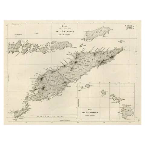
Rare Antique Map with Timor and Nearby Islands Plus an Inset of Hawaii, 1825
1825 · € 850
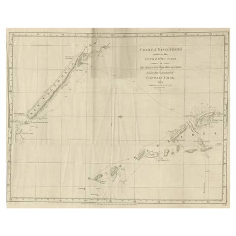
Rare Engraving of New Caledonia & New Hebrides from Capt. Cook's Travels, 1777
1777 · € 750