Maps & PrintsBartele Gallery · Langweer
Home / Antique Maps / Europe / South-East Europe

South-East Europe · 19th century

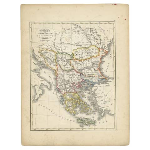
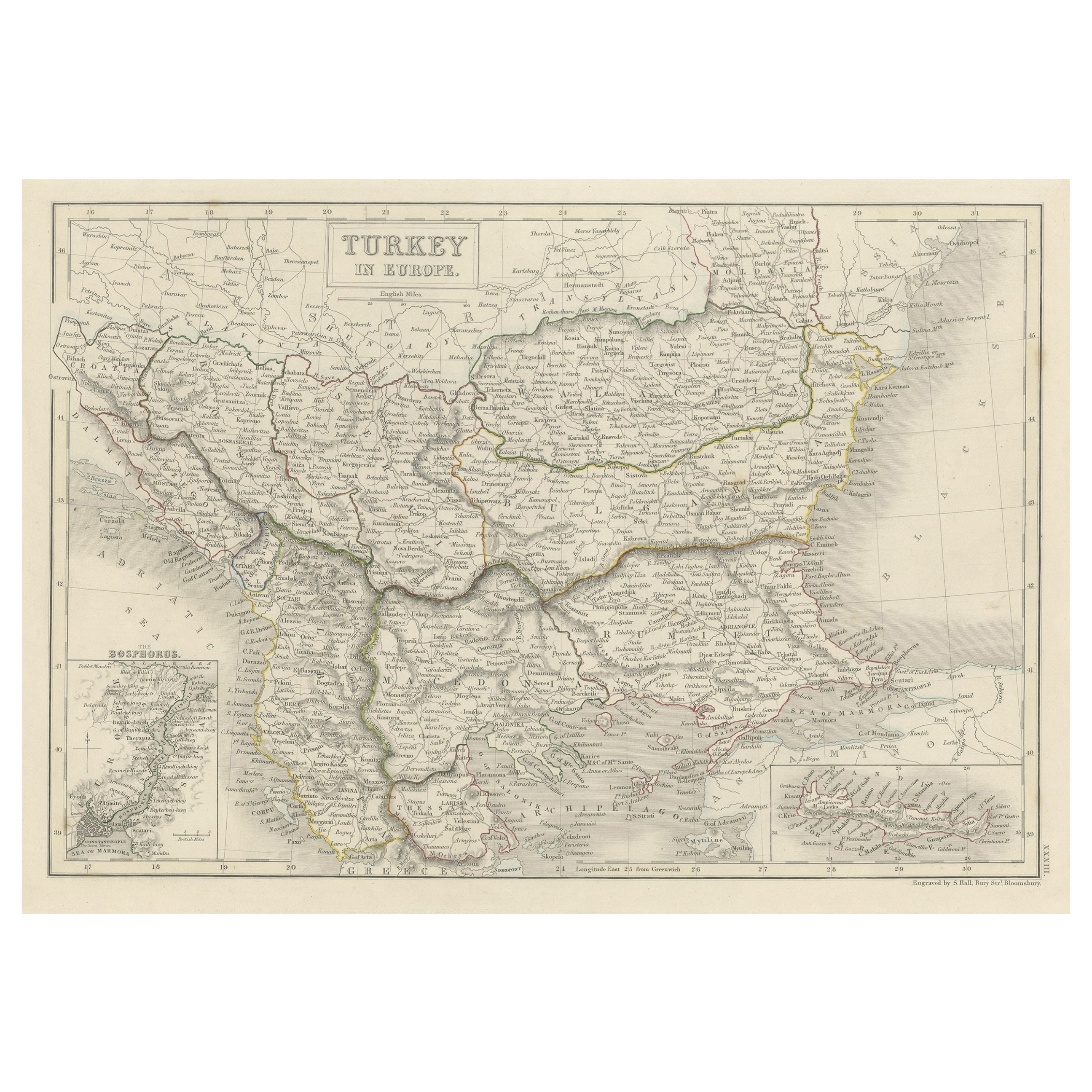
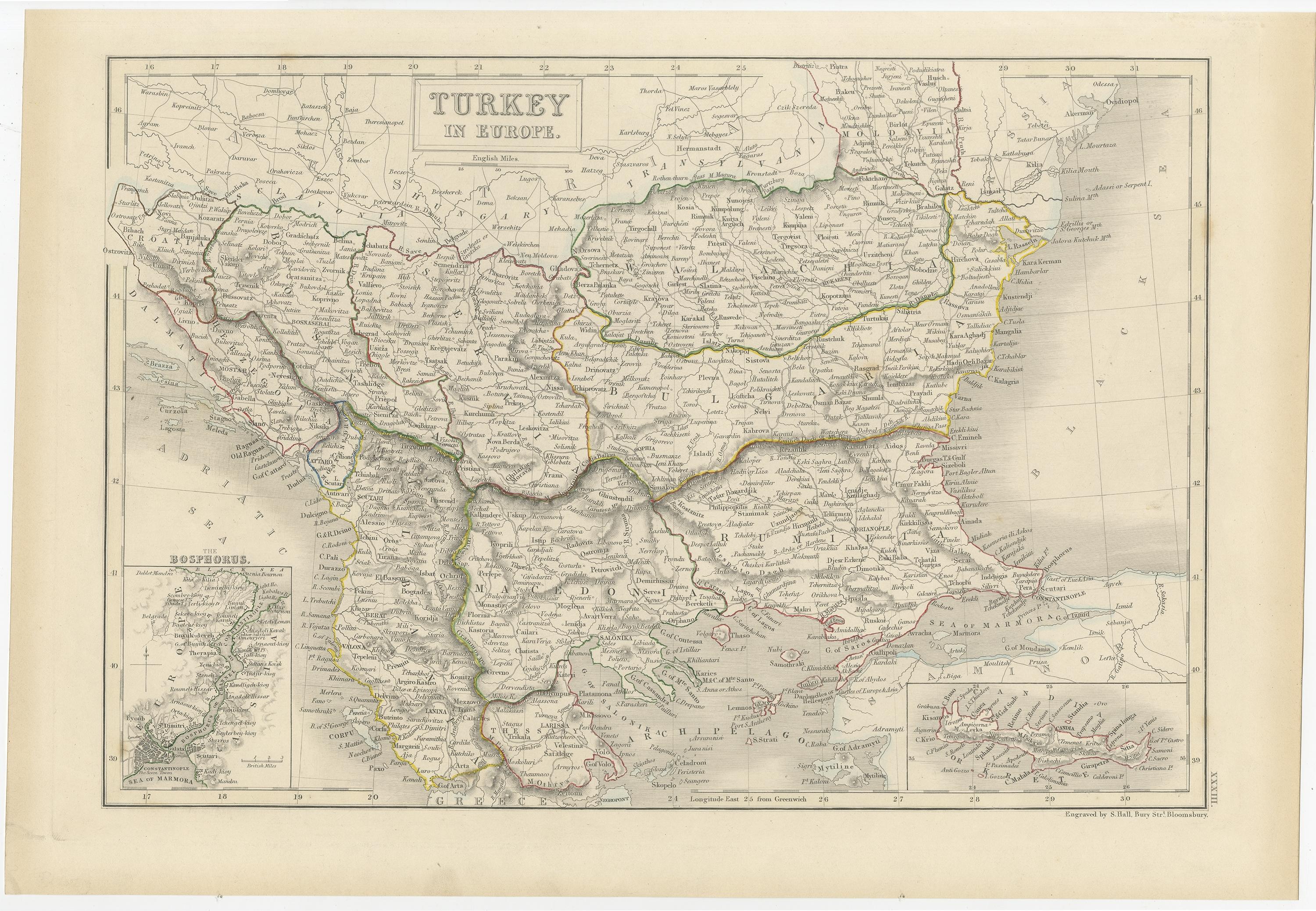
Antique Plan of Turkey in Europe with Inset Map of the Bosporus, ca.1850

€ 220

Original antique · The actual sheet photographed · Certificate of authenticity on request · Sold unframed · Worldwide shipping from € 15 (rates)

Date
1850
Sheet size
30 × 44 cm (11.8 × 17.3 in)
Condition
Good
Reference
PCT-56535

About this sheet

Antique map titled 'Turkey in Europe'.

A map of European Turkey and the surrounding countries. With an inset map of the Bosporus. This includes Macedonia, Bulgaria, Croatia, Bosnia, Herzegovina, Albania, Moldavia and Wallachia. Sheet 33 from an unidentified English atlas.

Artists and Engravers: Made by 'S. Hall' after an anonymous artist.

Condition: Very good, given age. A faint stain in the lower margin. Left and right margin edges faintly browned. A stain in the right edge of the image. General age-related toning and/or occasional minor defects from handling. Please study image carefully.

More from South-East Europe

Ask about this sheet

Antique Plan of Turkey in Europe with Inset Map of the Bosporus, ca.1850
1850 · Ref. PCT-56535 · € 220
We reply by email, usually within one working day.