Maps & PrintsBartele Gallery · Langweer
Home / Antique Maps / Australia & Oceania

Australia & Oceania · 19th century

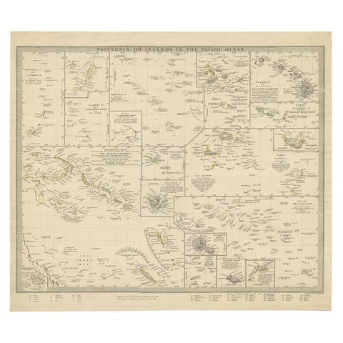
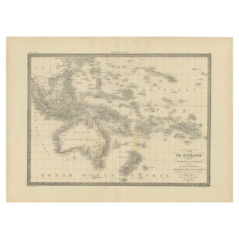
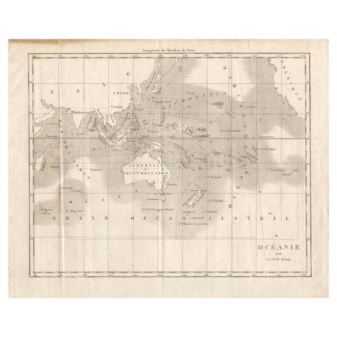
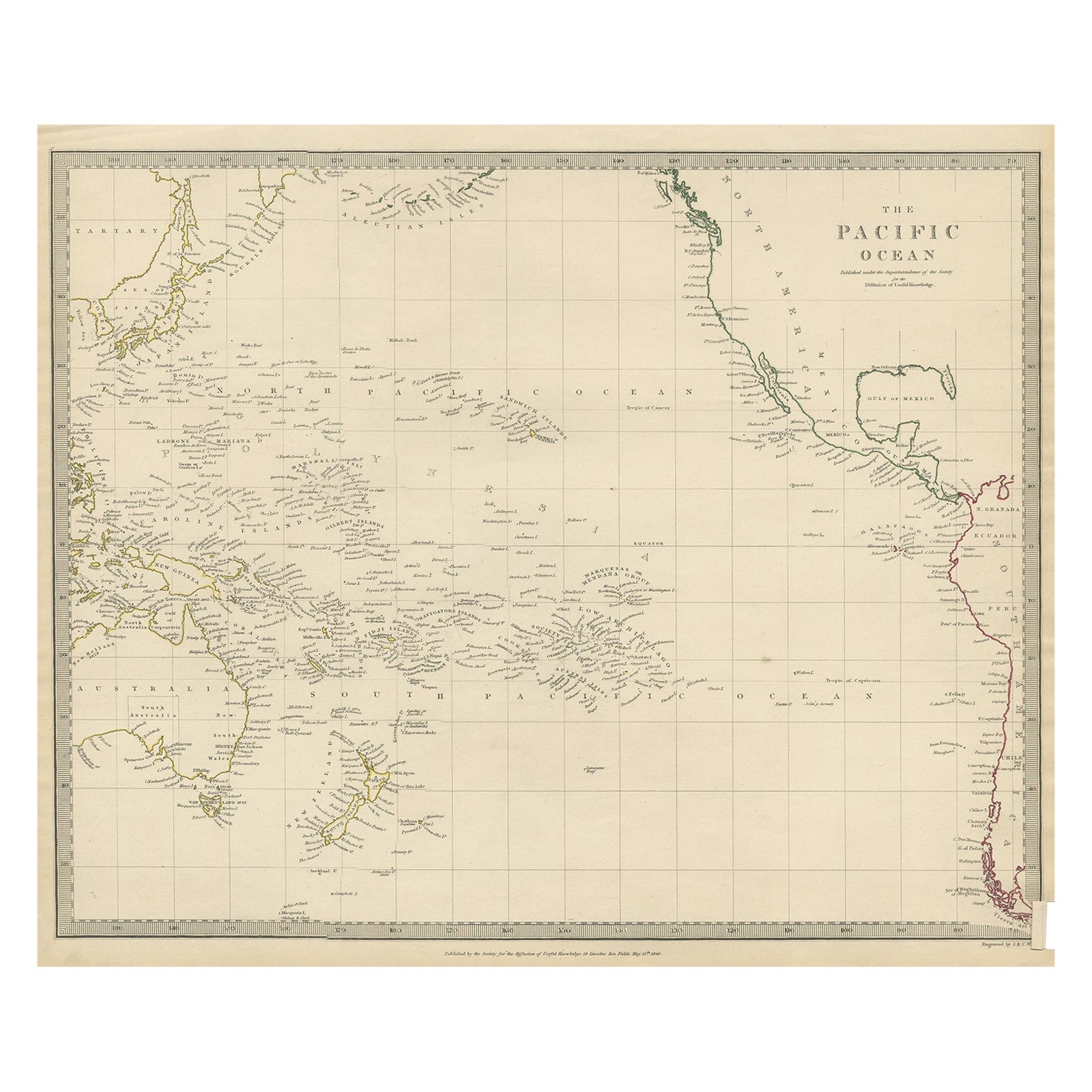
Antique Map of Australasia, New Zealand, Polynesia & the Pacific Ocean, 1840

€ 220

One of a kind: this is the sheet in the photographs. Ships from Langweer, the Netherlands.

Date
1840
Technique
Paper
Sheet size
34 × 41 cm (13.4 × 16.1 in)
Condition
Good
Reference
BGJC-275

About this sheet

Antique map titled 'The Pacific Ocean'.

This map depicts Australasia, New Zealand, Polynesia and islands in the Pacific Ocean including the Sandwich Islands.

Artists and Engravers: Published by the Society for the Diffusion of Useful Knowledge, 1840. Engraved by J. & C. Walker.

Condition:
Good, general age-related toning. Few tiny tears, please study image carefully.

More from Australia & Oceania

Ask about this sheet

Antique Map of Australasia, New Zealand, Polynesia & the Pacific Ocean, 1840
1840 · Ref. BGJC-275 · € 220
We reply by email, usually within one working day.